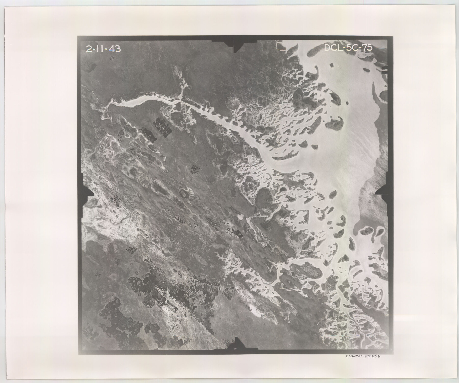
Flight Mission No. DCL-5C, Frame 75, Kenedy County
DCL-5C-75
-
Map/Doc
85858
-
Collection
General Map Collection
-
Object Dates
1943/2/11 (Creation Date)
-
People and Organizations
U. S. Department of Agriculture (Publisher)
-
Counties
Kenedy
-
Subjects
Aerial Photograph
-
Height x Width
18.6 x 22.2 inches
47.2 x 56.4 cm
-
Comments
Flown by Aerial Surveys of Pittsburgh, Inc. of Pittsburgh, Pennsylvania.
Part of: General Map Collection
Gaines County

Print $40.00
- Digital $50.00
Gaines County
1956
Size 45.1 x 56.6 inches
Map/Doc 95504
Marion County Sketch File 1b

Print $8.00
- Digital $50.00
Marion County Sketch File 1b
Size 12.4 x 7.7 inches
Map/Doc 30560
Kimble County Boundary File 4

Print $26.00
- Digital $50.00
Kimble County Boundary File 4
Size 7.5 x 7.3 inches
Map/Doc 64868
Irion County Rolled Sketch 23

Print $40.00
- Digital $50.00
Irion County Rolled Sketch 23
Size 42.9 x 49.1 inches
Map/Doc 10302
Cottle County Sketch File G

Print $8.00
- Digital $50.00
Cottle County Sketch File G
Size 11.5 x 7.3 inches
Map/Doc 19447
Duval County Sketch File 5

Print $20.00
- Digital $50.00
Duval County Sketch File 5
1860
Size 20.8 x 29.6 inches
Map/Doc 11381
Brazoria County Sketch File 15b

Print $40.00
- Digital $50.00
Brazoria County Sketch File 15b
Size 13.2 x 26.3 inches
Map/Doc 10951
Montgomery County Working Sketch 39

Print $20.00
- Digital $50.00
Montgomery County Working Sketch 39
1954
Size 24.1 x 46.5 inches
Map/Doc 71146
Ellis County Sketch File 18

Print $40.00
- Digital $50.00
Ellis County Sketch File 18
Size 16.0 x 12.8 inches
Map/Doc 21862
Atascosa County Rolled Sketch 22

Print $40.00
- Digital $50.00
Atascosa County Rolled Sketch 22
1917
Size 26.5 x 57.2 inches
Map/Doc 8922
[Map showing the location of the Pecos Valley Railway through H. &. G. N. R.R. Co. Land in Reeves Co., Texas]
![64707, [Map showing the location of the Pecos Valley Railway through H. &. G. N. R.R. Co. Land in Reeves Co., Texas], General Map Collection](https://historictexasmaps.com/wmedia_w700/maps/64707.tif.jpg)
Print $40.00
- Digital $50.00
[Map showing the location of the Pecos Valley Railway through H. &. G. N. R.R. Co. Land in Reeves Co., Texas]
1891
Size 39.1 x 123.6 inches
Map/Doc 64707

You may also like
Map of Shackelford County

Print $20.00
- Digital $50.00
Map of Shackelford County
1901
Size 26.5 x 21.9 inches
Map/Doc 63031
Gaines County Rolled Sketch 28

Print $20.00
- Digital $50.00
Gaines County Rolled Sketch 28
1989
Size 25.6 x 19.7 inches
Map/Doc 5941
Moore County Sketch File 3

Print $20.00
- Digital $50.00
Moore County Sketch File 3
Size 17.2 x 19.3 inches
Map/Doc 42126
Panola County Sketch File 15

Print $4.00
- Digital $50.00
Panola County Sketch File 15
1882
Size 10.3 x 8.7 inches
Map/Doc 33474
Hamilton County Working Sketch 7

Print $20.00
- Digital $50.00
Hamilton County Working Sketch 7
1942
Size 15.2 x 20.2 inches
Map/Doc 63345
James Subdivision, NE/4 Section 1, Block E, G. C. & S. F. R.R. Co. Cert 3/360, Abstract 46

Print $20.00
- Digital $50.00
James Subdivision, NE/4 Section 1, Block E, G. C. & S. F. R.R. Co. Cert 3/360, Abstract 46
Size 17.8 x 19.4 inches
Map/Doc 92734
Hamilton County Sketch File 20

Print $26.00
- Digital $50.00
Hamilton County Sketch File 20
1935
Size 14.4 x 9.1 inches
Map/Doc 24942
Atascosa County Rolled Sketch 22

Print $40.00
- Digital $50.00
Atascosa County Rolled Sketch 22
1917
Size 57.5 x 26.5 inches
Map/Doc 8921
Flight Mission No. DCL-6C, Frame 96, Kenedy County

Print $20.00
- Digital $50.00
Flight Mission No. DCL-6C, Frame 96, Kenedy County
1943
Size 18.6 x 22.4 inches
Map/Doc 85926
McMullen County Sketch File 38

Print $20.00
- Digital $50.00
McMullen County Sketch File 38
1938
Size 31.3 x 17.5 inches
Map/Doc 12064
Flight Mission No. DQN-5K, Frame 45, Calhoun County

Print $20.00
- Digital $50.00
Flight Mission No. DQN-5K, Frame 45, Calhoun County
1953
Size 18.4 x 22.1 inches
Map/Doc 84390
Diefert Situs Orbis Hydrographorum ab eo quem Ptolomeus Posuit

Print $20.00
- Digital $50.00
Diefert Situs Orbis Hydrographorum ab eo quem Ptolomeus Posuit
1522
Size 13.9 x 19.1 inches
Map/Doc 96578