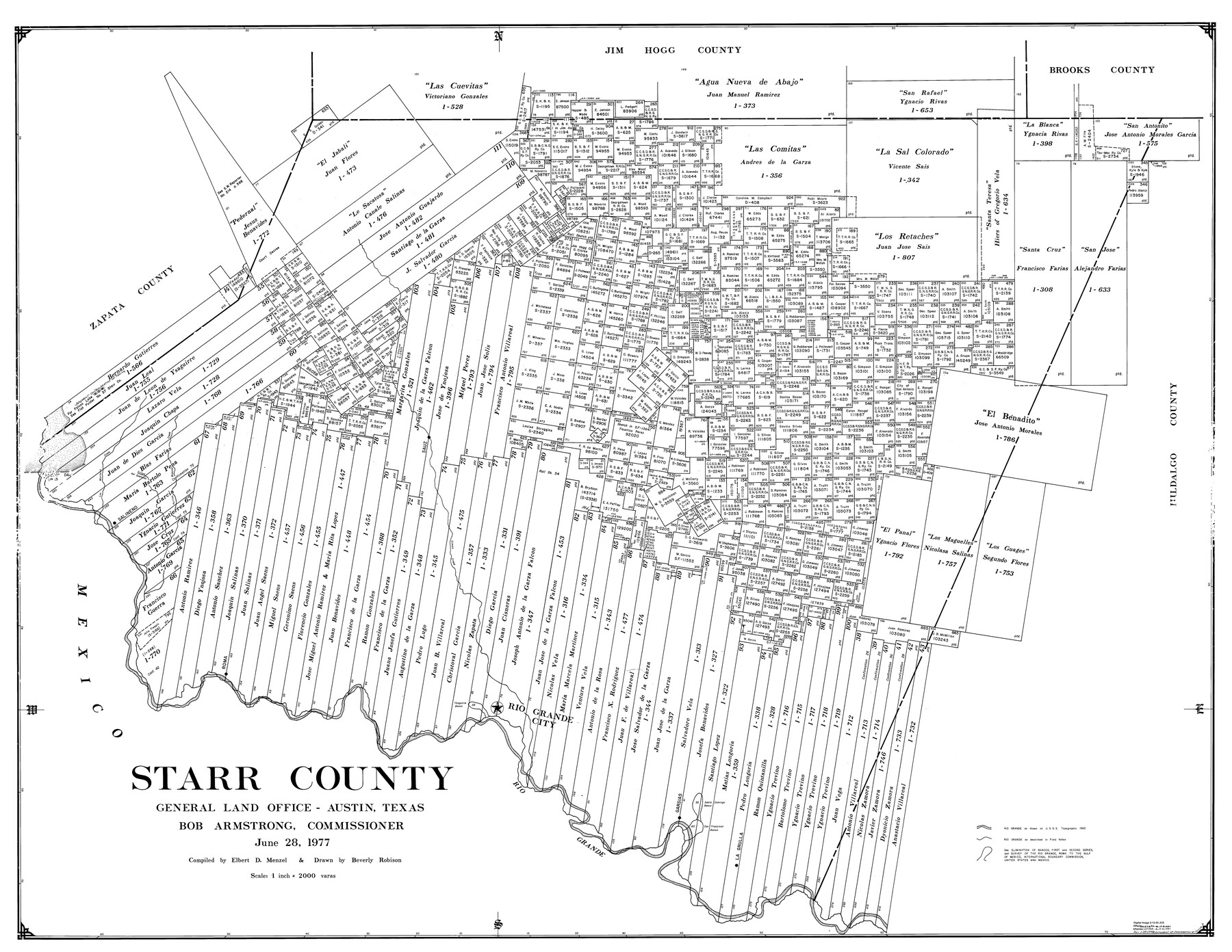
Starr County
-
Map/Doc
77425
-
Collection
General Map Collection
-
Object Dates
1977/6/28 (Creation Date)
-
People and Organizations
Elbert Menzel (Compiler)
Beverly Robison (Draftsman)
-
Counties
Starr
-
Subjects
County
-
Height x Width
42.3 x 54.7 inches
107.4 x 138.9 cm
Part of: General Map Collection
Map of the City of Kerens (Navarro County) Texas

Print $40.00
- Digital $50.00
Map of the City of Kerens (Navarro County) Texas
1958
Size 44.2 x 54.9 inches
Map/Doc 93670
Stephens County Working Sketch 11

Print $20.00
- Digital $50.00
Stephens County Working Sketch 11
1921
Size 21.0 x 16.5 inches
Map/Doc 63954
Flight Mission No. BQR-20K, Frame 8, Brazoria County

Print $20.00
- Digital $50.00
Flight Mission No. BQR-20K, Frame 8, Brazoria County
1952
Size 18.6 x 22.3 inches
Map/Doc 84110
Surveys in Austin's Colony along the east fork of Mill Creek

Print $20.00
- Digital $50.00
Surveys in Austin's Colony along the east fork of Mill Creek
1830
Size 23.7 x 12.6 inches
Map/Doc 208
Liberty County Working Sketch 75

Print $20.00
- Digital $50.00
Liberty County Working Sketch 75
1980
Size 23.2 x 23.8 inches
Map/Doc 70535
Starr County Rolled Sketch 42

Print $20.00
- Digital $50.00
Starr County Rolled Sketch 42
1972
Size 26.0 x 18.4 inches
Map/Doc 7835
San Saba County Sketch File 16

Print $20.00
- Digital $50.00
San Saba County Sketch File 16
1902
Size 16.9 x 18.8 inches
Map/Doc 12294
Henderson County

Print $40.00
- Digital $50.00
Henderson County
1988
Size 30.8 x 63.0 inches
Map/Doc 77310
Sketch showing progress of topographical work Laguna Madre and vicinity from Rainey Is. to Baffins Bay, Coast of Texas Sect. IX [and accompanying letter]
![72957, Sketch showing progress of topographical work Laguna Madre and vicinity from Rainey Is. to Baffins Bay, Coast of Texas Sect. IX [and accompanying letter], General Map Collection](https://historictexasmaps.com/wmedia_w700/maps/72957.tif.jpg)
Print $20.00
- Digital $50.00
Sketch showing progress of topographical work Laguna Madre and vicinity from Rainey Is. to Baffins Bay, Coast of Texas Sect. IX [and accompanying letter]
1880
Size 39.2 x 18.6 inches
Map/Doc 72957
Coryell County

Print $20.00
- Digital $50.00
Coryell County
1936
Size 44.6 x 40.1 inches
Map/Doc 77249
Concho County Sketch File 20

Print $20.00
- Digital $50.00
Concho County Sketch File 20
Size 17.0 x 18.2 inches
Map/Doc 11154

You may also like
Hudspeth County Rolled Sketch 44

Print $20.00
- Digital $50.00
Hudspeth County Rolled Sketch 44
1951
Size 12.1 x 11.5 inches
Map/Doc 9217
Morris County Rolled Sketch 2A

Print $20.00
- Digital $50.00
Morris County Rolled Sketch 2A
Size 24.2 x 19.0 inches
Map/Doc 10253
Map No. 2 - Surveys Corrected in 1882 as they appear on the ground

Print $20.00
- Digital $50.00
Map No. 2 - Surveys Corrected in 1882 as they appear on the ground
1882
Size 30.7 x 19.2 inches
Map/Doc 91925
Flight Mission No. DQO-1K, Frame 147, Galveston County

Print $20.00
- Digital $50.00
Flight Mission No. DQO-1K, Frame 147, Galveston County
1952
Size 18.8 x 22.4 inches
Map/Doc 85000
Medina County Working Sketch 10

Print $20.00
- Digital $50.00
Medina County Working Sketch 10
1960
Size 37.4 x 32.9 inches
Map/Doc 70925
Atascosa County Sketch File 16

Print $4.00
- Digital $50.00
Atascosa County Sketch File 16
1877
Size 12.2 x 7.9 inches
Map/Doc 13779
Flight Mission No. BQR-9K, Frame 4, Brazoria County

Print $20.00
- Digital $50.00
Flight Mission No. BQR-9K, Frame 4, Brazoria County
1952
Size 18.8 x 22.3 inches
Map/Doc 84033
Mrs. Alex A. Slaughter Ranch Hockley County, Texas

Print $20.00
- Digital $50.00
Mrs. Alex A. Slaughter Ranch Hockley County, Texas
Size 26.2 x 19.7 inches
Map/Doc 92237
Coke County Sketch File 36

Print $24.00
- Digital $50.00
Coke County Sketch File 36
1918
Size 14.1 x 8.5 inches
Map/Doc 18652
Revised Map of Austin, Texas

Print $20.00
Revised Map of Austin, Texas
1885
Size 16.5 x 14.0 inches
Map/Doc 76272
Midland County

Print $20.00
- Digital $50.00
Midland County
1896
Size 23.0 x 21.1 inches
Map/Doc 3878
Map of Louisiana from D'Anville's Atlas

Print $20.00
- Digital $50.00
Map of Louisiana from D'Anville's Atlas
1788
Size 16.7 x 21.6 inches
Map/Doc 94111