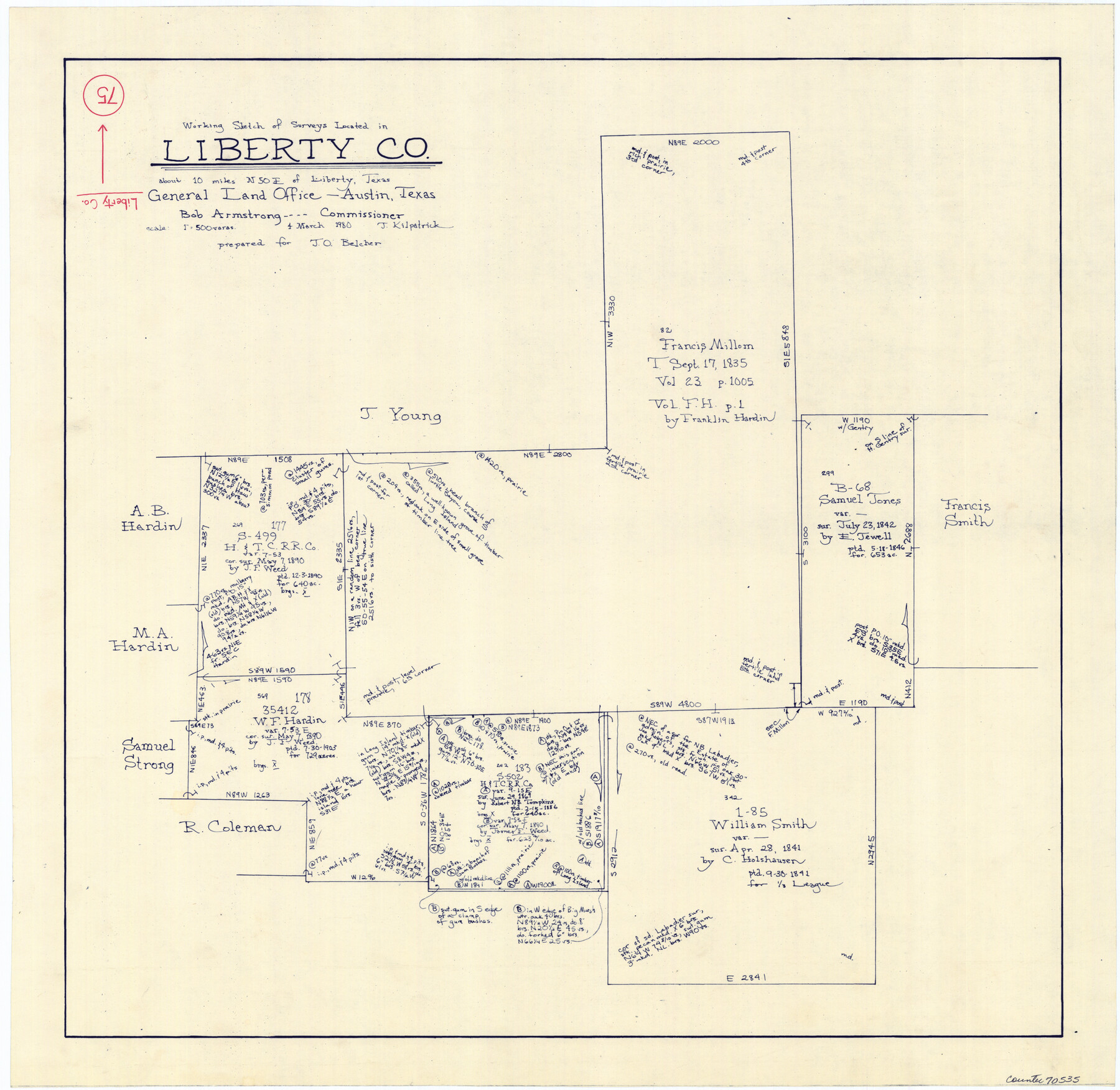
Liberty County Working Sketch 75
-
Map/Doc
70535
-
Collection
General Map Collection
-
Object Dates
3/4/1980 (Creation Date)
-
People and Organizations
Joan Kilpatrick (Draftsman)
-
Counties
Liberty
-
Subjects
Surveying Working Sketch
-
Height x Width
23.2 x 23.8 inches
58.9 x 60.5 cm
-
Scale
1" = 500 varas
Part of: General Map Collection
Sabine County

Print $20.00
- Digital $50.00
Sabine County
1920
Size 41.2 x 31.8 inches
Map/Doc 77413
Gregg County Rolled Sketch 8A

Print $40.00
- Digital $50.00
Gregg County Rolled Sketch 8A
Size 25.5 x 50.3 inches
Map/Doc 9028
San Saba County Sketch File 2

Print $6.00
- Digital $50.00
San Saba County Sketch File 2
1854
Size 4.8 x 7.4 inches
Map/Doc 36405
Reeves County

Print $40.00
- Digital $50.00
Reeves County
1903
Size 48.7 x 36.5 inches
Map/Doc 16798
Presidio County Sketch File 84 1/2

Print $38.00
- Digital $50.00
Presidio County Sketch File 84 1/2
1949
Size 9.0 x 14.5 inches
Map/Doc 34726
Hunt County Sketch File 34a

Print $4.00
- Digital $50.00
Hunt County Sketch File 34a
1873
Size 8.0 x 10.1 inches
Map/Doc 27146
Map Showing Survey of Navasota River Bed in Limestone County Texas Located North of Houston and Texas Central Railroad Bridge

Print $20.00
- Digital $50.00
Map Showing Survey of Navasota River Bed in Limestone County Texas Located North of Houston and Texas Central Railroad Bridge
1921
Size 45.8 x 38.5 inches
Map/Doc 65348
Flight Mission No. BRA-9M, Frame 60, Jefferson County

Print $20.00
- Digital $50.00
Flight Mission No. BRA-9M, Frame 60, Jefferson County
1953
Size 18.6 x 22.4 inches
Map/Doc 85643
Map of Haskell County

Print $20.00
- Digital $50.00
Map of Haskell County
1899
Size 40.1 x 35.3 inches
Map/Doc 16847
Hartley County Working Sketch 7

Print $20.00
- Digital $50.00
Hartley County Working Sketch 7
1971
Size 20.1 x 25.1 inches
Map/Doc 66057
Hutchinson County Sketch File 29

Print $20.00
- Digital $50.00
Hutchinson County Sketch File 29
Size 16.7 x 20.8 inches
Map/Doc 11818
Montgomery County Working Sketch 44

Print $20.00
- Digital $50.00
Montgomery County Working Sketch 44
1956
Size 31.7 x 23.2 inches
Map/Doc 71151
You may also like
Irion County Sketch File 10

Print $20.00
- Digital $50.00
Irion County Sketch File 10
1936
Size 16.7 x 30.5 inches
Map/Doc 11825
Sterling County Working Sketch 8

Print $20.00
- Digital $50.00
Sterling County Working Sketch 8
1972
Size 40.7 x 35.9 inches
Map/Doc 63990
Clay County Boundary File 10

Print $6.00
- Digital $50.00
Clay County Boundary File 10
Size 14.2 x 8.8 inches
Map/Doc 51397
Stonewall County Rolled Sketch 36A

Print $20.00
- Digital $50.00
Stonewall County Rolled Sketch 36A
Size 17.6 x 22.4 inches
Map/Doc 76403
Comanche County Sketch File 17

Print $14.00
- Digital $50.00
Comanche County Sketch File 17
Size 8.5 x 8.2 inches
Map/Doc 19086
Hartley County Rolled Sketch 7

Print $20.00
- Digital $50.00
Hartley County Rolled Sketch 7
1952
Size 24.2 x 27.4 inches
Map/Doc 6161
Montague County Rolled Sketch 5

Print $20.00
- Digital $50.00
Montague County Rolled Sketch 5
Size 27.3 x 30.2 inches
Map/Doc 6789
[Sketch for Mineral Application 16696-16697, Pecos River]
![65612, [Sketch for Mineral Application 16696-16697, Pecos River], General Map Collection](https://historictexasmaps.com/wmedia_w700/maps/65612-1.tif.jpg)
Print $40.00
- Digital $50.00
[Sketch for Mineral Application 16696-16697, Pecos River]
Size 37.4 x 74.9 inches
Map/Doc 65612
Lampasas County Working Sketch 12

Print $20.00
- Digital $50.00
Lampasas County Working Sketch 12
1969
Size 32.9 x 31.4 inches
Map/Doc 70289
Map of the north west portion of Hutchinson County showing the proposed resurvey of Block M24

Print $20.00
- Digital $50.00
Map of the north west portion of Hutchinson County showing the proposed resurvey of Block M24
Size 29.1 x 31.9 inches
Map/Doc 75814
Jack County Working Sketch 1

Print $20.00
- Digital $50.00
Jack County Working Sketch 1
Size 28.4 x 27.1 inches
Map/Doc 66427
Fort Bend County Working Sketch 18

Print $20.00
- Digital $50.00
Fort Bend County Working Sketch 18
1957
Size 34.7 x 38.2 inches
Map/Doc 69224