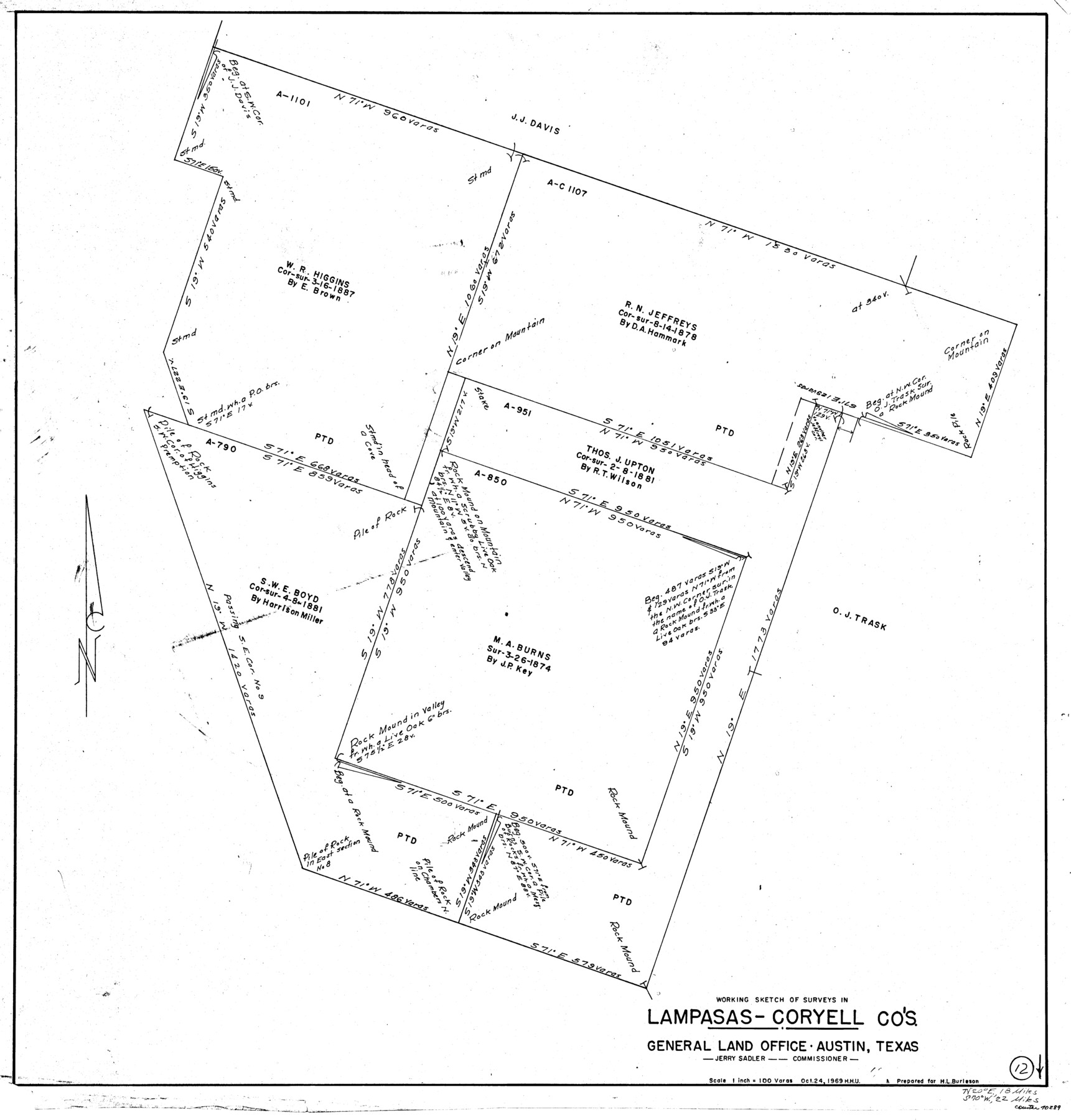
Lampasas County Working Sketch 12
-
Map/Doc
70289
-
Collection
General Map Collection
-
Object Dates
10/24/1969 (Creation Date)
-
People and Organizations
Herbert H. Ulbricht (Draftsman)
-
Counties
Lampasas Coryell
-
Subjects
Surveying Working Sketch
-
Height x Width
32.9 x 31.4 inches
83.6 x 79.8 cm
-
Scale
1" = 100 varas
Part of: General Map Collection
Flight Mission No. DAH-9M, Frame 154, Orange County

Print $20.00
- Digital $50.00
Flight Mission No. DAH-9M, Frame 154, Orange County
1953
Size 18.3 x 22.3 inches
Map/Doc 86853
Flight Mission No. CLL-1N, Frame 112, Willacy County

Print $20.00
- Digital $50.00
Flight Mission No. CLL-1N, Frame 112, Willacy County
1954
Size 18.4 x 20.1 inches
Map/Doc 87046
Rusk County Sketch File 16

Print $4.00
Rusk County Sketch File 16
1849
Size 13.0 x 8.4 inches
Map/Doc 35518
Flight Mission No. DIX-8P, Frame 65, Aransas County

Print $20.00
- Digital $50.00
Flight Mission No. DIX-8P, Frame 65, Aransas County
1956
Size 18.7 x 22.4 inches
Map/Doc 83896
San Saba County Working Sketch 1

Print $20.00
- Digital $50.00
San Saba County Working Sketch 1
1919
Size 15.3 x 15.3 inches
Map/Doc 63789
Atascosa County Sketch File 16

Print $4.00
- Digital $50.00
Atascosa County Sketch File 16
1877
Size 12.2 x 7.9 inches
Map/Doc 13779
Cherokee County Sketch File 18

Print $4.00
- Digital $50.00
Cherokee County Sketch File 18
1870
Size 10.2 x 8.1 inches
Map/Doc 18159
Webb County Sketch File 6-2

Print $20.00
- Digital $50.00
Webb County Sketch File 6-2
1927
Size 29.4 x 21.3 inches
Map/Doc 12616
Flight Mission No. CGI-3N, Frame 132, Cameron County

Print $20.00
- Digital $50.00
Flight Mission No. CGI-3N, Frame 132, Cameron County
1954
Size 18.4 x 22.2 inches
Map/Doc 84605
Culberson County Sketch File WJ1

Print $6.00
- Digital $50.00
Culberson County Sketch File WJ1
1927
Size 11.2 x 8.9 inches
Map/Doc 20154
Presidio County Rolled Sketch 105B

Print $20.00
- Digital $50.00
Presidio County Rolled Sketch 105B
Size 46.5 x 36.5 inches
Map/Doc 9789
Victoria County Working Sketch 2

Print $20.00
- Digital $50.00
Victoria County Working Sketch 2
1939
Size 43.1 x 28.1 inches
Map/Doc 72272
You may also like
[Surveys along the Liberty and Hardin County line]
![295, [Surveys along the Liberty and Hardin County line], General Map Collection](https://historictexasmaps.com/wmedia_w700/maps/295.tif.jpg)
Print $2.00
- Digital $50.00
[Surveys along the Liberty and Hardin County line]
1847
Size 13.5 x 7.7 inches
Map/Doc 295
Armstrong County Sketch File 6

Print $26.00
- Digital $50.00
Armstrong County Sketch File 6
Size 12.8 x 8.2 inches
Map/Doc 13689
General Highway Map, Colorado County, Texas

Print $20.00
General Highway Map, Colorado County, Texas
1961
Size 25.1 x 18.3 inches
Map/Doc 79416
Cottle County Rolled Sketch B

Print $20.00
- Digital $50.00
Cottle County Rolled Sketch B
1903
Size 32.5 x 43.4 inches
Map/Doc 8671
Donley County Working Sketch 6

Print $20.00
- Digital $50.00
Donley County Working Sketch 6
1965
Size 34.3 x 42.2 inches
Map/Doc 68739
Flight Mission No. DAG-23K, Frame 164, Matagorda County

Print $20.00
- Digital $50.00
Flight Mission No. DAG-23K, Frame 164, Matagorda County
1953
Size 18.6 x 22.3 inches
Map/Doc 86502
Erath County Sketch File 3b

Print $4.00
- Digital $50.00
Erath County Sketch File 3b
Size 10.3 x 8.3 inches
Map/Doc 22257
[North part H. & T. C. Blk. 5 and PSL Blk. 64]
![90499, [North part H. & T. C. Blk. 5 and PSL Blk. 64], Twichell Survey Records](https://historictexasmaps.com/wmedia_w700/maps/90499-1.tif.jpg)
Print $20.00
- Digital $50.00
[North part H. & T. C. Blk. 5 and PSL Blk. 64]
Size 13.2 x 12.0 inches
Map/Doc 90499
United States - Gulf Coast - Galveston to Rio Grande

Print $20.00
- Digital $50.00
United States - Gulf Coast - Galveston to Rio Grande
Size 27.9 x 18.3 inches
Map/Doc 72739
Trinity County Sketch File 34A

Print $6.00
- Digital $50.00
Trinity County Sketch File 34A
1921
Size 16.6 x 10.8 inches
Map/Doc 38578
Flight Mission No. DIX-6P, Frame 113, Aransas County

Print $20.00
- Digital $50.00
Flight Mission No. DIX-6P, Frame 113, Aransas County
1956
Size 18.8 x 22.4 inches
Map/Doc 83819
Culberson Co.

Print $40.00
- Digital $50.00
Culberson Co.
1943
Size 52.2 x 33.2 inches
Map/Doc 73124