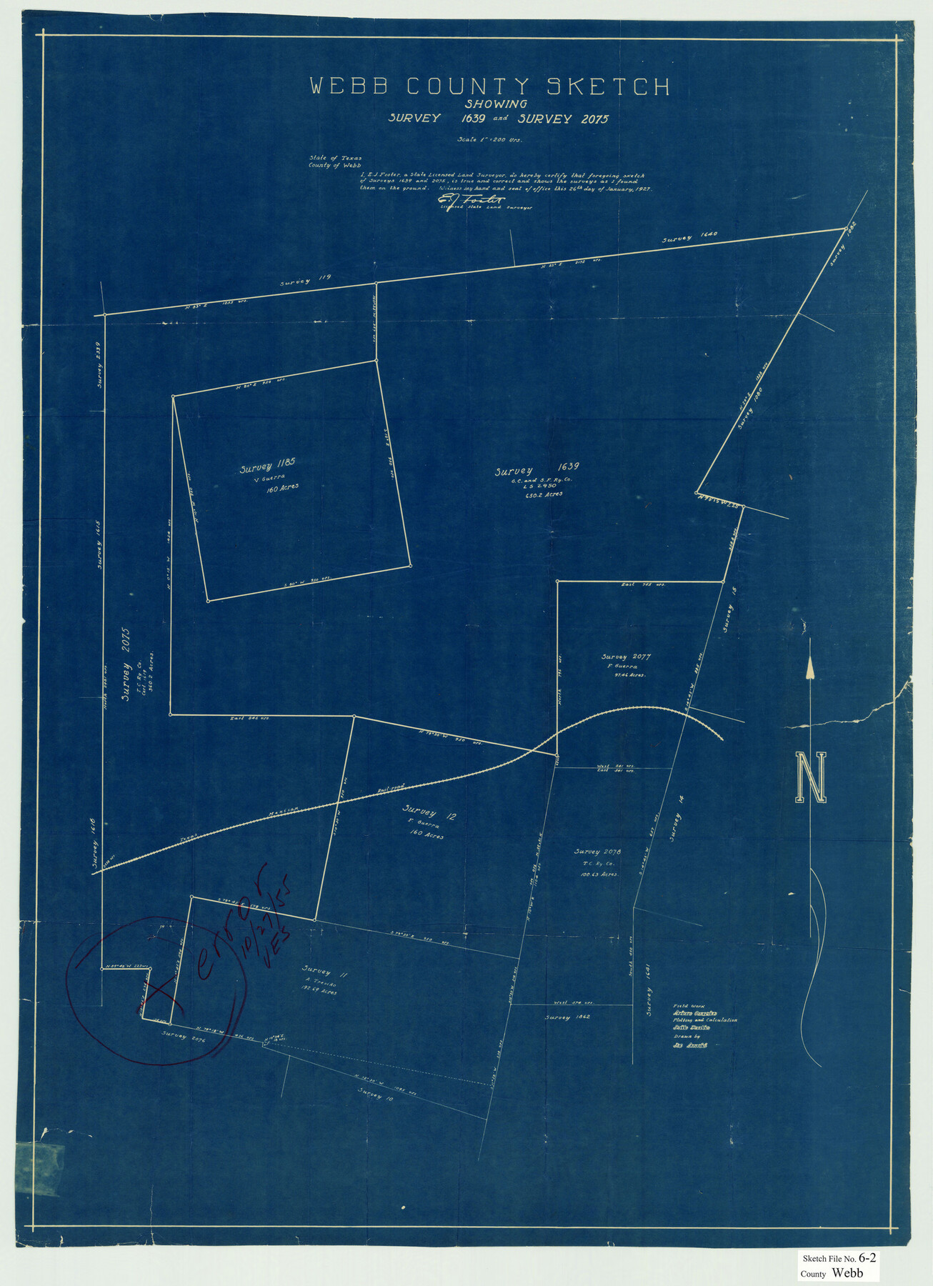
Webb County Sketch File 6-2
Webb County sketch showing survey 1639 and survey 2075
-
Map/Doc
12616
-
Collection
General Map Collection
-
Object Dates
1/26/1927 (Creation Date)
2/1/1927 (File Date)
-
People and Organizations
E.J. Foster (Surveyor/Engineer)
-
Counties
Webb
-
Subjects
Surveying Sketch File
-
Height x Width
29.4 x 21.3 inches
74.7 x 54.1 cm
-
Medium
blueprint/diazo
-
Scale
1" = 200 varas
-
Features
TMRR
Part of: General Map Collection
[Sketch for Mineral Applications 7410, 7411, 7412, 7413, 7712 - Kleberg County]
![65623, [Sketch for Mineral Applications 7410, 7411, 7412, 7413, 7712 - Kleberg County], General Map Collection](https://historictexasmaps.com/wmedia_w700/maps/65623-1.tif.jpg)
Print $40.00
- Digital $50.00
[Sketch for Mineral Applications 7410, 7411, 7412, 7413, 7712 - Kleberg County]
1977
Size 44.6 x 92.4 inches
Map/Doc 65623
Flight Mission No. DQN-5K, Frame 142, Calhoun County

Print $20.00
- Digital $50.00
Flight Mission No. DQN-5K, Frame 142, Calhoun County
1953
Size 18.5 x 22.1 inches
Map/Doc 84417

Hudspeth County Sketch File 25

Print $10.00
- Digital $50.00
Hudspeth County Sketch File 25
1936
Size 11.3 x 8.7 inches
Map/Doc 26979
Pecos County Working Sketch 130

Print $20.00
- Digital $50.00
Pecos County Working Sketch 130
1976
Size 27.6 x 36.5 inches
Map/Doc 71604
Deaf Smith County

Print $40.00
- Digital $50.00
Deaf Smith County
1926
Size 39.0 x 50.5 inches
Map/Doc 73128
Flight Mission No. BRA-8M, Frame 76, Jefferson County

Print $20.00
- Digital $50.00
Flight Mission No. BRA-8M, Frame 76, Jefferson County
1953
Size 18.5 x 22.3 inches
Map/Doc 85596
Fayette County Working Sketch 4

Print $20.00
- Digital $50.00
Fayette County Working Sketch 4
1980
Size 31.7 x 36.7 inches
Map/Doc 69168
Haskell County Rolled Sketch 2

Print $20.00
- Digital $50.00
Haskell County Rolled Sketch 2
1902
Size 34.5 x 27.1 inches
Map/Doc 6163
Dickens County

Print $20.00
- Digital $50.00
Dickens County
1895
Size 22.8 x 18.7 inches
Map/Doc 3484
Cameron County Rolled Sketch US

Print $20.00
- Digital $50.00
Cameron County Rolled Sketch US
1913
Size 31.1 x 26.3 inches
Map/Doc 5398
Zavalla County

Print $20.00
- Digital $50.00
Zavalla County
1879
Size 21.2 x 25.4 inches
Map/Doc 4183
You may also like

Bastrop County Rolled Sketch 1A

Print $20.00
- Digital $50.00
Bastrop County Rolled Sketch 1A
Size 37.0 x 24.5 inches
Map/Doc 5122
Flight Mission No. DQO-8K, Frame 131, Galveston County

Print $20.00
- Digital $50.00
Flight Mission No. DQO-8K, Frame 131, Galveston County
1952
Size 18.7 x 22.5 inches
Map/Doc 85196
Williamson County

Print $20.00
- Digital $50.00
Williamson County
1919
Size 22.5 x 29.8 inches
Map/Doc 4643

Galveston County Sketch File 57

Print $8.00
- Digital $50.00
Galveston County Sketch File 57
1910
Size 8.1 x 5.2 inches
Map/Doc 23603
Hamilton County Sketch File 22

Print $2.00
- Digital $50.00
Hamilton County Sketch File 22
Size 6.8 x 5.5 inches
Map/Doc 24947
[Sketch for Mineral Application 24072, San Jacinto River]
![65592, [Sketch for Mineral Application 24072, San Jacinto River], General Map Collection](https://historictexasmaps.com/wmedia_w700/maps/65592.tif.jpg)
Print $20.00
- Digital $50.00
[Sketch for Mineral Application 24072, San Jacinto River]
1929
Size 39.7 x 21.0 inches
Map/Doc 65592
Kleberg County Boundary File 2a

Print $40.00
- Digital $50.00
Kleberg County Boundary File 2a
Size 15.4 x 58.3 inches
Map/Doc 64977
Angelina County Sketch File 15h

Print $4.00
- Digital $50.00
Angelina County Sketch File 15h
1889
Size 10.0 x 8.0 inches
Map/Doc 12998
Real County Rolled Sketch 17

Print $20.00
- Digital $50.00
Real County Rolled Sketch 17
1906
Size 25.1 x 28.8 inches
Map/Doc 7459