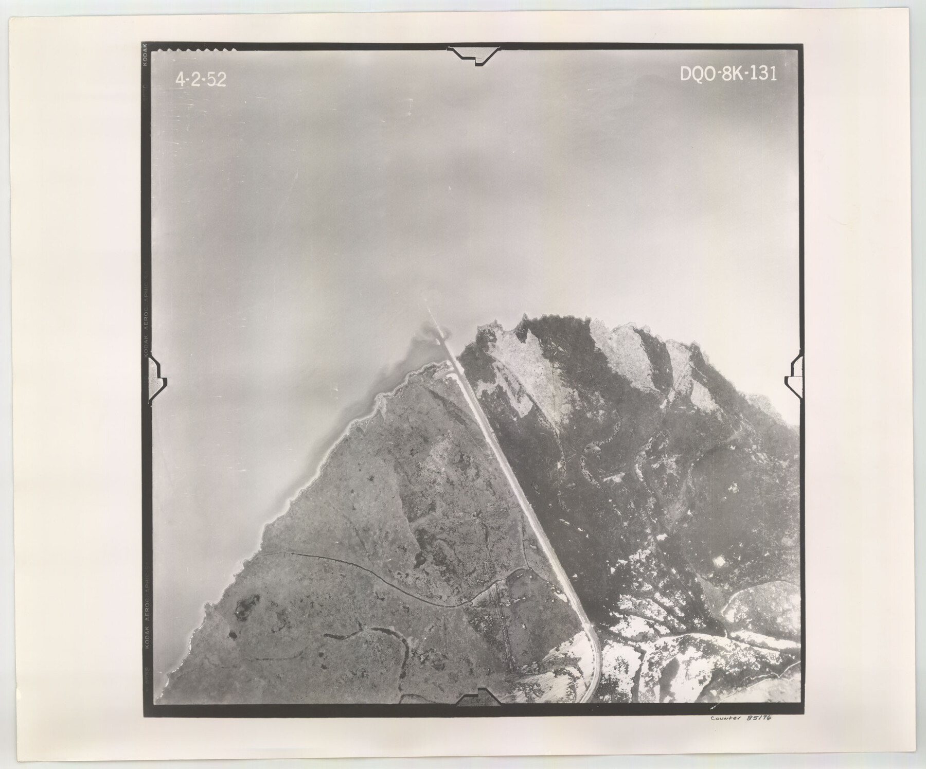
Flight Mission No. DQO-8K, Frame 131, Galveston County
DQO-8K-131
-
Map/Doc
85196
-
Collection
General Map Collection
-
Object Dates
1952/4/2 (Creation Date)
-
People and Organizations
U. S. Department of Agriculture (Publisher)
-
Counties
Galveston
-
Subjects
Aerial Photograph
-
Height x Width
18.7 x 22.5 inches
47.5 x 57.2 cm
-
Comments
Flown by Aero Exploration Company of Tulsa, Oklahoma.
Part of: General Map Collection
San Saba County

Print $20.00
- Digital $50.00
San Saba County
1877
Size 20.2 x 22.0 inches
Map/Doc 4020
Sketch of Robertson Co., Tehuacana Creek

Print $3.00
- Digital $50.00
Sketch of Robertson Co., Tehuacana Creek
1846
Size 10.3 x 16.4 inches
Map/Doc 264
Flight Mission No. DQO-2K, Frame 85, Galveston County

Print $20.00
- Digital $50.00
Flight Mission No. DQO-2K, Frame 85, Galveston County
1952
Size 18.9 x 22.5 inches
Map/Doc 85012
Polk County Boundary File 2a

Print $40.00
- Digital $50.00
Polk County Boundary File 2a
Size 31.6 x 9.6 inches
Map/Doc 57928
Flight Mission No. DQO-11K, Frame 16, Galveston County

Print $20.00
- Digital $50.00
Flight Mission No. DQO-11K, Frame 16, Galveston County
1952
Size 18.8 x 22.5 inches
Map/Doc 85209
San Patricio County Sketch File 53

Print $12.00
- Digital $50.00
San Patricio County Sketch File 53
1995
Size 11.3 x 8.8 inches
Map/Doc 36388
Refugio County NRC Article 33.136 Sketch 1

Print $44.00
- Digital $50.00
Refugio County NRC Article 33.136 Sketch 1
2002
Size 24.5 x 36.8 inches
Map/Doc 76399
Bexar County Working Sketch 12

Print $20.00
- Digital $50.00
Bexar County Working Sketch 12
1954
Size 24.7 x 21.0 inches
Map/Doc 67328
Location of the Southern Kansas Railway of Texas, Gray County, Texas

Print $40.00
- Digital $50.00
Location of the Southern Kansas Railway of Texas, Gray County, Texas
1887
Size 19.9 x 75.3 inches
Map/Doc 64036
[G.C. and S. F. R.R. Co. Through Bosque County from McLennan Co. and E. to Hill Co. Station M. P. 259 to M. P. 297]
![64563, [G.C. and S. F. R.R. Co. Through Bosque County from McLennan Co. and E. to Hill Co. Station M. P. 259 to M. P. 297], General Map Collection](https://historictexasmaps.com/wmedia_w700/maps/64563-1.tif.jpg)
Print $40.00
- Digital $50.00
[G.C. and S. F. R.R. Co. Through Bosque County from McLennan Co. and E. to Hill Co. Station M. P. 259 to M. P. 297]
Size 21.7 x 120.5 inches
Map/Doc 64563
Sutton County Rolled Sketch 42

Print $20.00
- Digital $50.00
Sutton County Rolled Sketch 42
Size 16.2 x 20.1 inches
Map/Doc 7884
Culberson County Rolled Sketch 31

Print $20.00
- Digital $50.00
Culberson County Rolled Sketch 31
Size 44.1 x 34.4 inches
Map/Doc 8747
You may also like
Sketch Showing Portion of League 4, Wilson County School Land, Lynn County, Texas

Print $20.00
- Digital $50.00
Sketch Showing Portion of League 4, Wilson County School Land, Lynn County, Texas
Size 13.5 x 13.0 inches
Map/Doc 92940
Nueces County Rolled Sketch 107

Print $56.00
Nueces County Rolled Sketch 107
1987
Size 18.4 x 24.8 inches
Map/Doc 7104
Webb County Rolled Sketch 45

Print $20.00
- Digital $50.00
Webb County Rolled Sketch 45
1942
Size 17.4 x 22.2 inches
Map/Doc 8200
Controlled Mosaic by Jack Amman Photogrammetric Engineers, Inc - Sheet 17

Print $20.00
- Digital $50.00
Controlled Mosaic by Jack Amman Photogrammetric Engineers, Inc - Sheet 17
1954
Size 20.0 x 24.0 inches
Map/Doc 83461
Trinity County Working Sketch 4

Print $20.00
- Digital $50.00
Trinity County Working Sketch 4
1908
Size 21.3 x 18.5 inches
Map/Doc 69452
[West line of B. & B. Block 1]
![90584, [West line of B. & B. Block 1], Twichell Survey Records](https://historictexasmaps.com/wmedia_w700/maps/90584-1.tif.jpg)
Print $20.00
- Digital $50.00
[West line of B. & B. Block 1]
Size 12.7 x 15.2 inches
Map/Doc 90584
Houston County Sketch File 36

Print $40.00
- Digital $50.00
Houston County Sketch File 36
1945
Size 15.6 x 14.2 inches
Map/Doc 26817
Hardin County Working Sketch 41

Print $20.00
- Digital $50.00
Hardin County Working Sketch 41
Size 35.1 x 40.0 inches
Map/Doc 63440
Taylor County Sketch File 15

Print $12.00
- Digital $50.00
Taylor County Sketch File 15
1881
Size 10.1 x 8.1 inches
Map/Doc 37805
Map of Europe engraved to illustrate Mitchell's school and family geography

Print $20.00
- Digital $50.00
Map of Europe engraved to illustrate Mitchell's school and family geography
1839
Size 9.5 x 11.8 inches
Map/Doc 93502
Fisher County

Print $20.00
- Digital $50.00
Fisher County
1944
Size 41.4 x 36.1 inches
Map/Doc 77279
