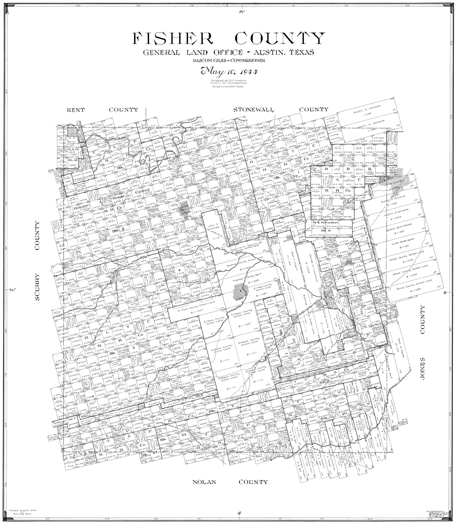
Fisher County
-
Map/Doc
77279
-
Collection
General Map Collection
-
Object Dates
1944/5/10 (Creation Date)
-
People and Organizations
Tommye Buie (Draftsman)
R.C. Wisdom (Compiler)
-
Counties
Fisher
-
Subjects
County
-
Height x Width
41.4 x 36.1 inches
105.2 x 91.7 cm
Part of: General Map Collection

Map of Lee County Texas

Print $20.00
- Digital $50.00
Map of Lee County Texas
1879
Size 26.2 x 18.0 inches
Map/Doc 4578
Hardeman County

Print $20.00
- Digital $50.00
Hardeman County
1935
Size 44.4 x 41.4 inches
Map/Doc 73170
Kenedy County Rolled Sketch 4A

Print $40.00
- Digital $50.00
Kenedy County Rolled Sketch 4A
1904
Size 40.0 x 56.5 inches
Map/Doc 9332
Oso Creek, Rodd Field (P-1) Sheet

Print $20.00
- Digital $50.00
Oso Creek, Rodd Field (P-1) Sheet
1942
Size 33.2 x 34.0 inches
Map/Doc 65096
Corpus Christi Bay, Texas

Print $40.00
- Digital $50.00
Corpus Christi Bay, Texas
1867
Size 33.0 x 48.7 inches
Map/Doc 73467
Kaufman County Sketch File 14

Print $4.00
- Digital $50.00
Kaufman County Sketch File 14
Size 10.1 x 8.1 inches
Map/Doc 28649
Jeff Davis County Sketch File 4

Print $42.00
- Digital $50.00
Jeff Davis County Sketch File 4
1889
Size 12.5 x 14.7 inches
Map/Doc 27893
Liberty County Sketch File 13

Print $12.00
- Digital $50.00
Liberty County Sketch File 13
1858
Size 8.3 x 7.9 inches
Map/Doc 29909
Val Verde County Sketch File 7

Print $6.00
- Digital $50.00
Val Verde County Sketch File 7
1877
Size 16.9 x 9.7 inches
Map/Doc 39196
Ector County Rolled Sketch 8

Print $40.00
- Digital $50.00
Ector County Rolled Sketch 8
1938
Size 55.8 x 45.1 inches
Map/Doc 8836
South Sulphur River, Klondike Sheet

Print $6.00
- Digital $50.00
South Sulphur River, Klondike Sheet
1925
Size 32.2 x 35.5 inches
Map/Doc 65170
You may also like
San Augustine County Working Sketch 5

Print $20.00
- Digital $50.00
San Augustine County Working Sketch 5
1935
Size 39.0 x 37.4 inches
Map/Doc 63692
Reeves County Working Sketch 57

Print $40.00
- Digital $50.00
Reeves County Working Sketch 57
1978
Size 58.3 x 35.8 inches
Map/Doc 63500
Galveston County NRC Article 33.136 Sketch 36

Print $28.00
- Digital $50.00
Galveston County NRC Article 33.136 Sketch 36
2005
Size 24.5 x 36.6 inches
Map/Doc 83409
Upton County Sketch File 17

Print $6.00
- Digital $50.00
Upton County Sketch File 17
Size 11.0 x 10.9 inches
Map/Doc 38875

General Highway Map, Trinity County, Texas

Print $20.00
General Highway Map, Trinity County, Texas
1961
Size 18.1 x 24.5 inches
Map/Doc 79688
[United States]
![97197, [United States], General Map Collection](https://historictexasmaps.com/wmedia_w700/maps/97197.tif.jpg)
Print $20.00
- Digital $50.00
[United States]
1848
Size 17.7 x 37.4 inches
Map/Doc 97197
Cooke County Working Sketch Graphic Index

Print $20.00
- Digital $50.00
Cooke County Working Sketch Graphic Index
1935
Size 44.7 x 38.2 inches
Map/Doc 76504
Dallas County Sketch File 9

Print $4.00
- Digital $50.00
Dallas County Sketch File 9
1858
Size 12.2 x 8.1 inches
Map/Doc 20412
Clay County Sketch File 29

Print $16.00
- Digital $50.00
Clay County Sketch File 29
Size 11.3 x 8.7 inches
Map/Doc 18448
Galveston County Rolled Sketch 46

Print $40.00
- Digital $50.00
Galveston County Rolled Sketch 46
2000
Size 32.0 x 48.3 inches
Map/Doc 5981
Ellis County Boundary File 2

Print $12.00
- Digital $50.00
Ellis County Boundary File 2
Size 10.7 x 8.3 inches
Map/Doc 52944