[Sketch for Mineral Applications 7410, 7411, 7412, 7413, 7712 - Kleberg County]
K-1-49
-
Map/Doc
65623
-
Collection
General Map Collection
-
Object Dates
1977 (Creation Date)
-
Height x Width
44.6 x 92.4 inches
113.3 x 234.7 cm
Part of: General Map Collection
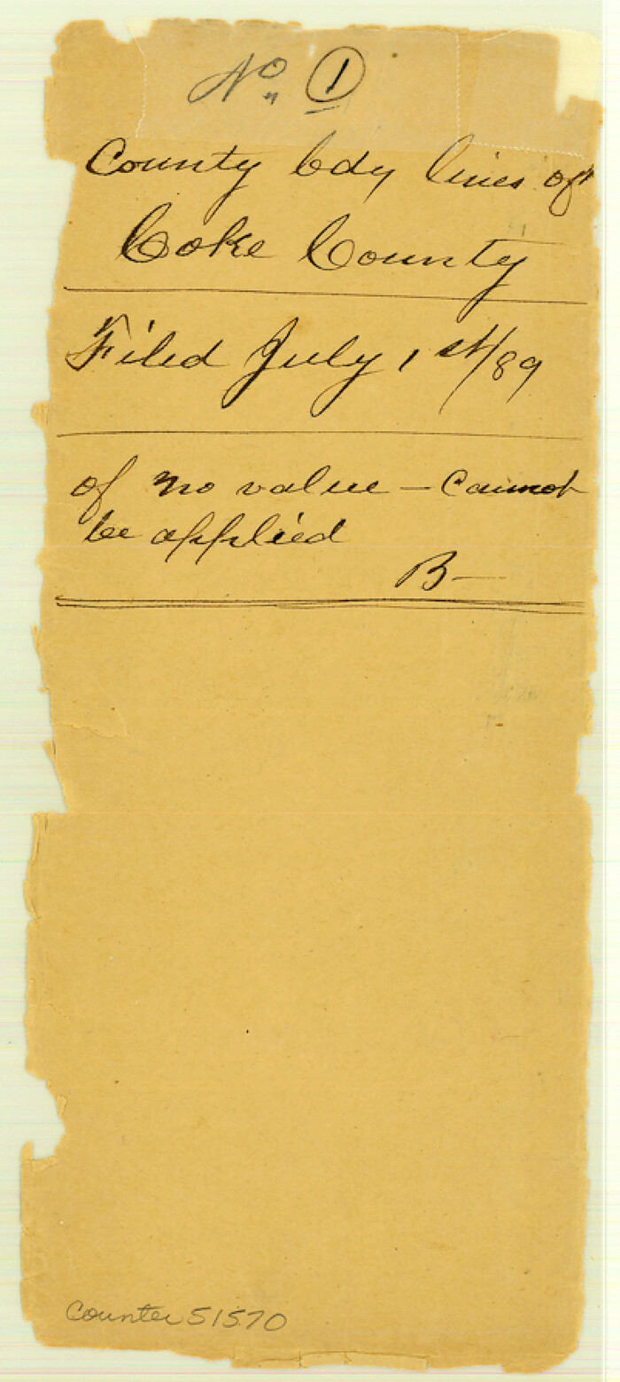
Coke County Boundary File 1

Print $50.00
- Digital $50.00
Coke County Boundary File 1
Size 8.9 x 4.0 inches
Map/Doc 51570
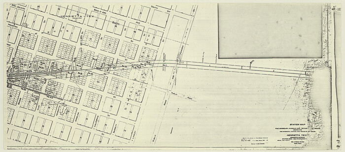
Station Map, the Missouri, Kansas and Texas Ry. Of Texas - Henrietta Division

Print $20.00
- Digital $50.00
Station Map, the Missouri, Kansas and Texas Ry. Of Texas - Henrietta Division
1918
Size 11.9 x 26.9 inches
Map/Doc 64765
Zapata County Sketch File 13b


Print $6.00
- Digital $50.00
Zapata County Sketch File 13b
1936
Size 11.4 x 8.9 inches
Map/Doc 40954
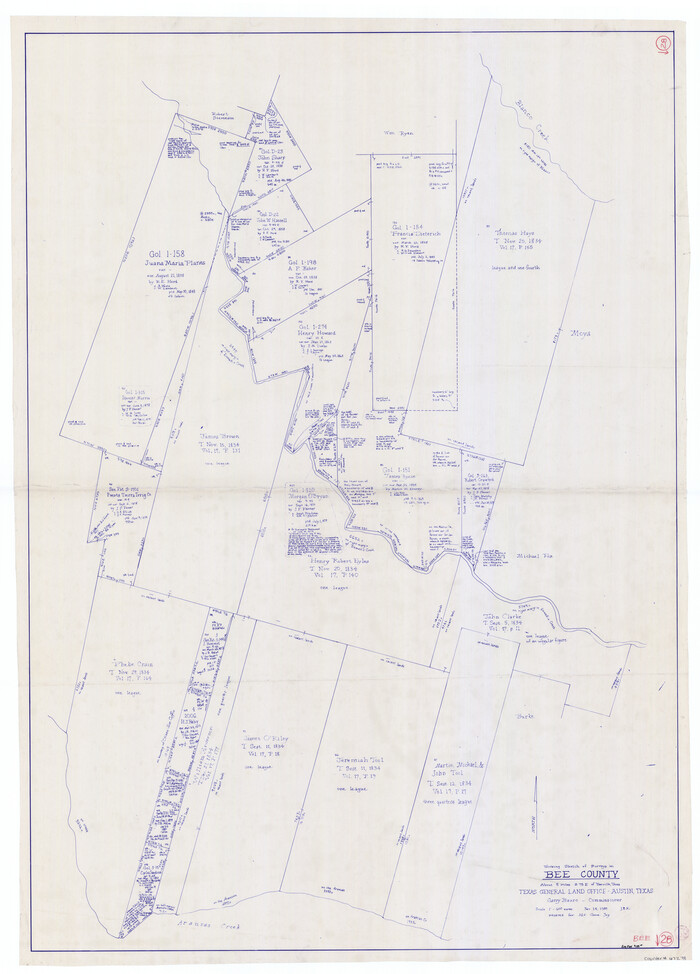
Bee County Working Sketch 28

Print $20.00
- Digital $50.00
Bee County Working Sketch 28
1988
Size 48.2 x 34.6 inches
Map/Doc 67278
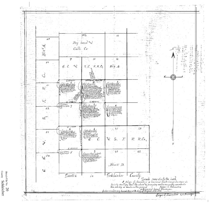
Schleicher County Sketch File 20

Print $20.00
- Digital $50.00
Schleicher County Sketch File 20
1936
Size 16.8 x 17.4 inches
Map/Doc 12301
Atascosa County Rolled Sketch 20A


Print $20.00
- Digital $50.00
Atascosa County Rolled Sketch 20A
Size 41.8 x 32.8 inches
Map/Doc 10224
Lavaca County


Print $40.00
- Digital $50.00
Lavaca County
1946
Size 52.6 x 44.1 inches
Map/Doc 95566
Cherokee County Sketch File 28
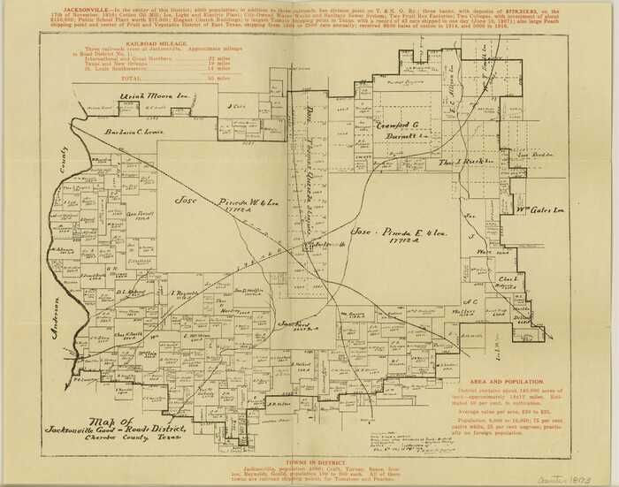

Print $6.00
- Digital $50.00
Cherokee County Sketch File 28
1916
Size 11.0 x 14.0 inches
Map/Doc 18173
Sabine County Rolled Sketch 2
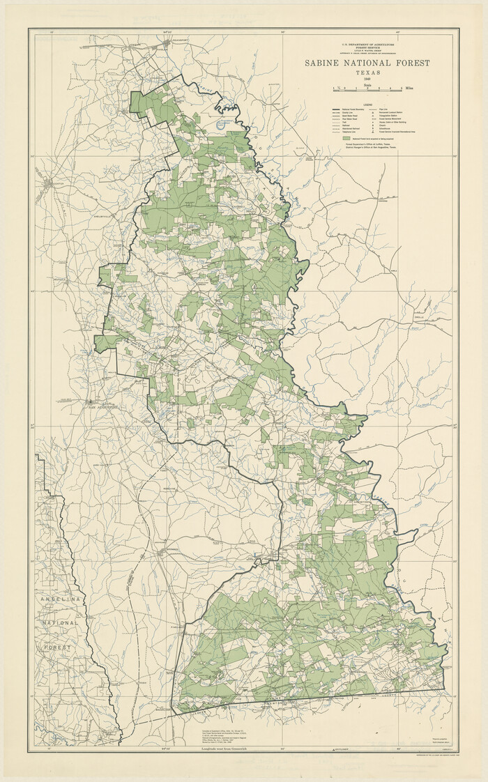

Print $20.00
- Digital $50.00
Sabine County Rolled Sketch 2
1949
Size 33.3 x 20.8 inches
Map/Doc 7551
Flight Mission No. CRC-4R, Frame 186, Chambers County
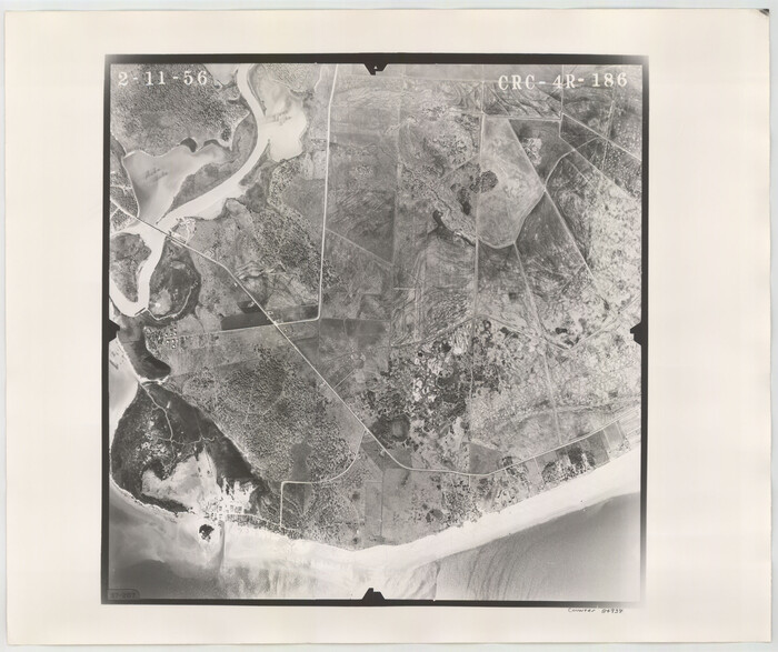

Print $20.00
- Digital $50.00
Flight Mission No. CRC-4R, Frame 186, Chambers County
1956
Size 18.6 x 22.3 inches
Map/Doc 84937
Nacogdoches County Working Sketch 6


Print $20.00
- Digital $50.00
Nacogdoches County Working Sketch 6
1955
Size 14.7 x 12.5 inches
Map/Doc 71222
Bandera County Working Sketch 15
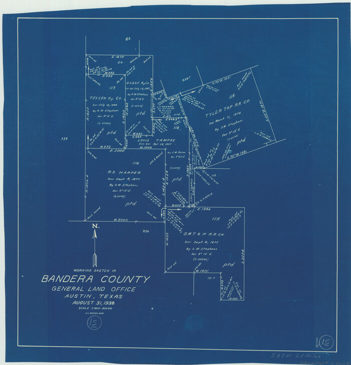

Print $20.00
- Digital $50.00
Bandera County Working Sketch 15
1938
Size 18.1 x 17.4 inches
Map/Doc 67608
You may also like
Flight Mission No. BRE-2P, Frame 82, Nueces County


Print $20.00
- Digital $50.00
Flight Mission No. BRE-2P, Frame 82, Nueces County
1956
Size 18.5 x 22.6 inches
Map/Doc 86777
Flight Mission No. CGI-4N, Frame 177, Cameron County
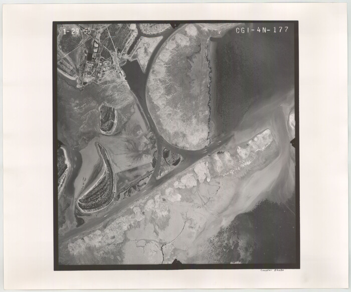

Print $20.00
- Digital $50.00
Flight Mission No. CGI-4N, Frame 177, Cameron County
1955
Size 18.5 x 22.2 inches
Map/Doc 84680
Liberty County Sketch File 46
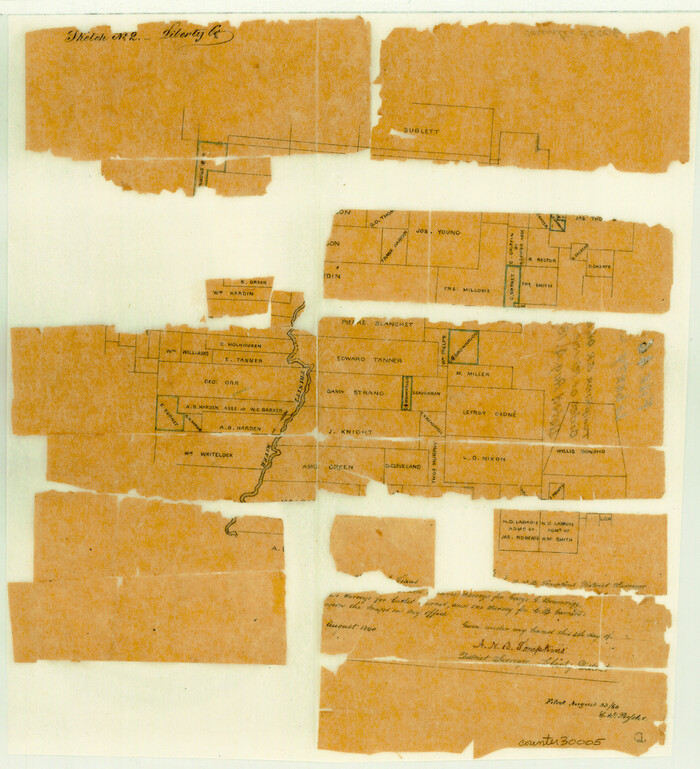

Print $42.00
- Digital $50.00
Liberty County Sketch File 46
1860
Size 13.4 x 12.2 inches
Map/Doc 30005
Bandera County Boundary File 3

Print $2.00
- Digital $50.00
Bandera County Boundary File 3
Size 4.3 x 8.8 inches
Map/Doc 50266
Harris County Rolled Sketch 102
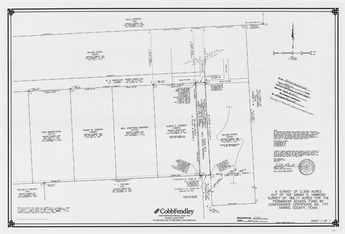

Print $20.00
- Digital $50.00
Harris County Rolled Sketch 102
2009
Size 24.8 x 36.5 inches
Map/Doc 89585
Flight Mission No. BQY-4M, Frame 66, Harris County
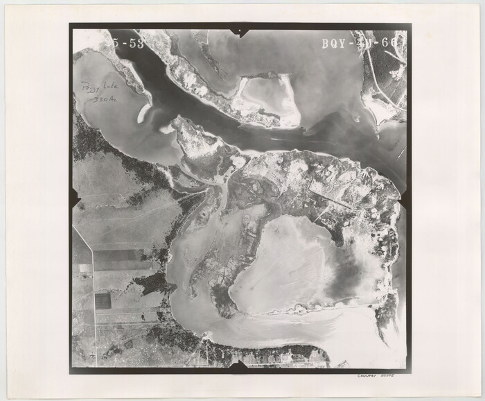

Print $20.00
- Digital $50.00
Flight Mission No. BQY-4M, Frame 66, Harris County
1953
Size 18.4 x 22.3 inches
Map/Doc 85275
General Highway Map, Medina County, Texas
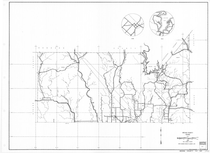

Print $20.00
General Highway Map, Medina County, Texas
1961
Size 18.2 x 25.0 inches
Map/Doc 79594
Map of Colorado District


Print $20.00
- Digital $50.00
Map of Colorado District
1841
Size 21.5 x 31.2 inches
Map/Doc 3421
Map of Val Verde County


Print $40.00
- Digital $50.00
Map of Val Verde County
1898
Size 80.7 x 42.7 inches
Map/Doc 16913
San Augustine County Texas
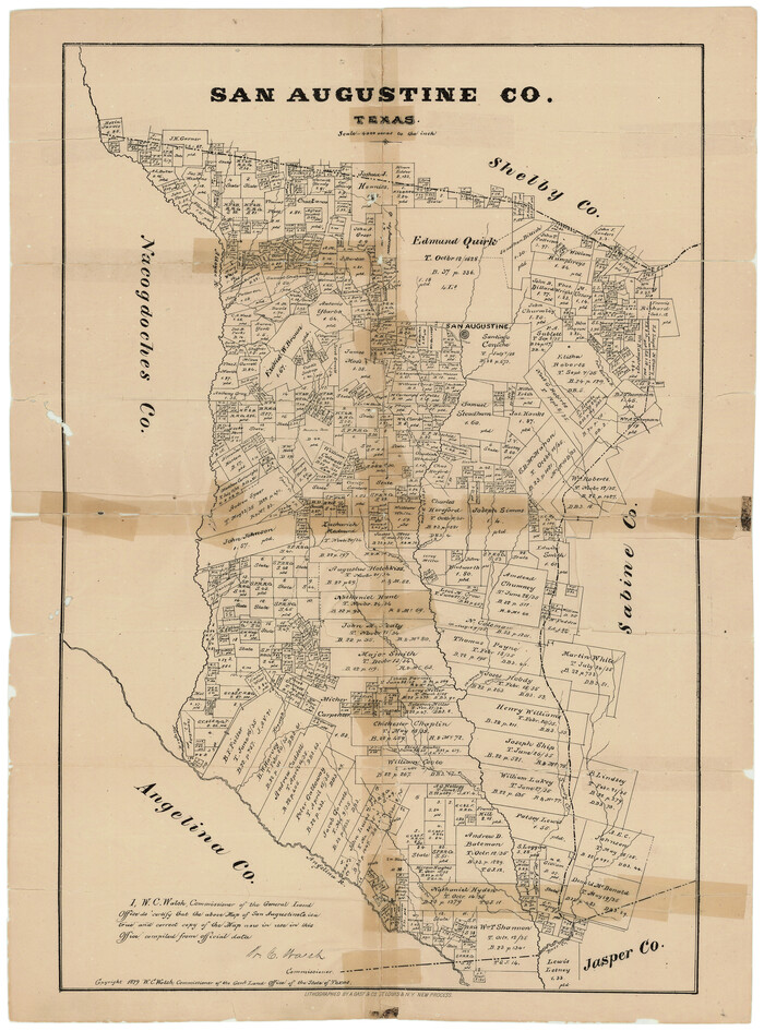

Print $20.00
- Digital $50.00
San Augustine County Texas
1879
Size 23.8 x 16.9 inches
Map/Doc 4623
Sutton County Rolled Sketch 41


Print $20.00
- Digital $50.00
Sutton County Rolled Sketch 41
1938
Size 34.5 x 23.3 inches
Map/Doc 7883
![65623, [Sketch for Mineral Applications 7410, 7411, 7412, 7413, 7712 - Kleberg County], General Map Collection](https://historictexasmaps.com/wmedia_w1800h1800/maps/65623-1.tif.jpg)
