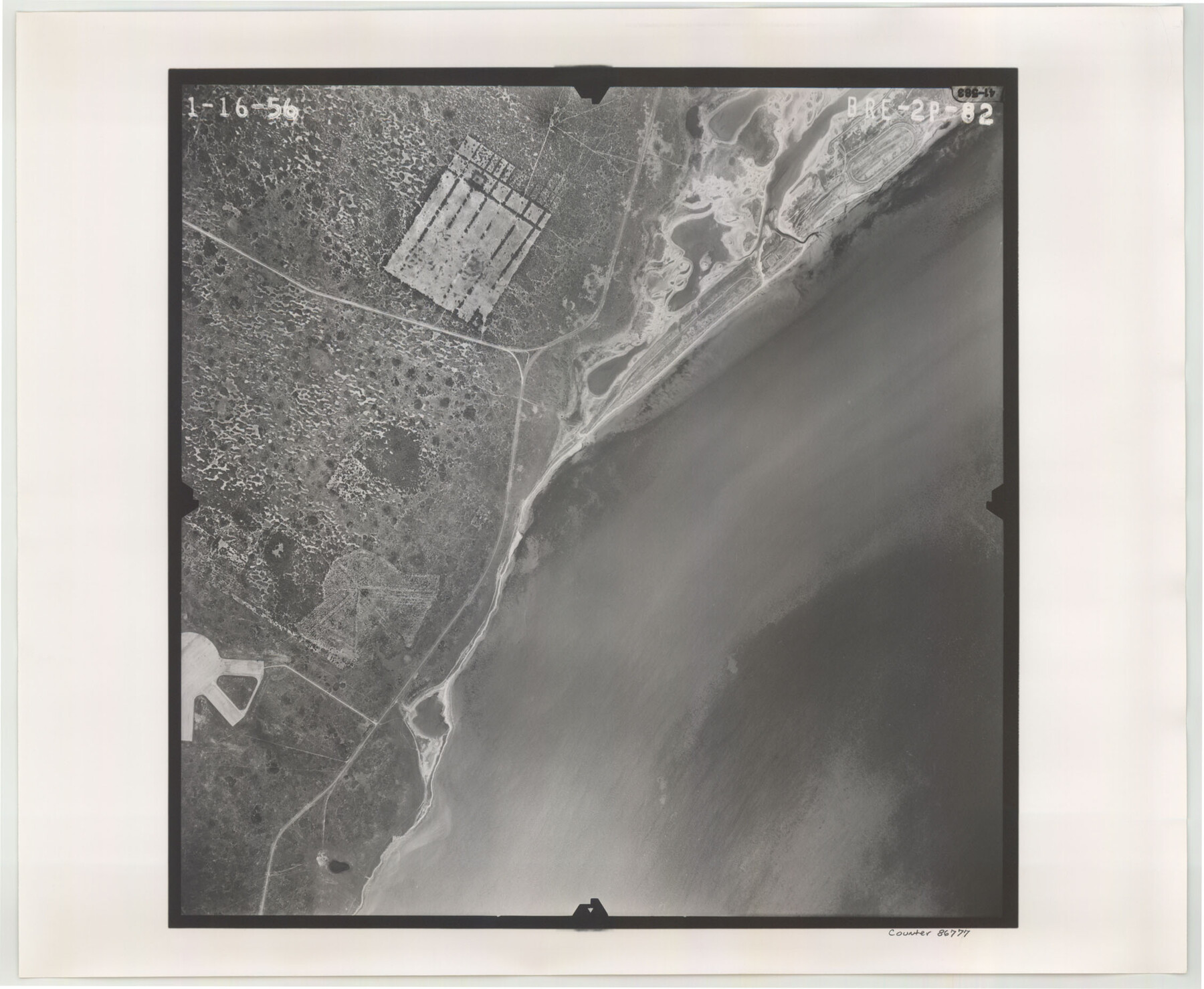
Flight Mission No. BRE-2P, Frame 82, Nueces County
BRE-2P-82
-
Map/Doc
86777
-
Collection
General Map Collection
-
Object Dates
1956/1/16 (Creation Date)
-
People and Organizations
U. S. Department of Agriculture (Publisher)
-
Counties
Nueces
-
Subjects
Aerial Photograph
-
Height x Width
18.5 x 22.6 inches
47.0 x 57.4 cm
-
Comments
Flown by V. L. Beavers and Associates of San Antonio, Texas.
Part of: General Map Collection
Matagorda Bay and Approaches
![73381, Matagorda Bay and Approaches, General Map Collection](https://historictexasmaps.com/wmedia_w700/maps/73381.tif.jpg)
Print $20.00
- Digital $50.00
Matagorda Bay and Approaches
1957
Size 35.1 x 44.8 inches
Map/Doc 73381
Liberty County Sketch File 46
![30005, Liberty County Sketch File 46, General Map Collection](https://historictexasmaps.com/wmedia_w700/pdf_converted_jpg/qi_pdf_thumbnail_12714.jpg)
Print $42.00
- Digital $50.00
Liberty County Sketch File 46
1860
Size 13.4 x 12.2 inches
Map/Doc 30005
Coryell County Rolled Sketch 1
![5565, Coryell County Rolled Sketch 1, General Map Collection](https://historictexasmaps.com/wmedia_w700/maps/5565.tif.jpg)
Print $20.00
- Digital $50.00
Coryell County Rolled Sketch 1
1943
Size 22.7 x 21.4 inches
Map/Doc 5565
Flight Mission No. DCL-7C, Frame 50, Kenedy County
![86038, Flight Mission No. DCL-7C, Frame 50, Kenedy County, General Map Collection](https://historictexasmaps.com/wmedia_w700/pdf_converted_jpg/qi_pdf_thumbnail_33184.jpg)
Print $20.00
- Digital $50.00
Flight Mission No. DCL-7C, Frame 50, Kenedy County
1943
Size 16.6 x 16.5 inches
Map/Doc 86038
Presidio County Sketch File 114
![34832, Presidio County Sketch File 114, General Map Collection](https://historictexasmaps.com/wmedia_w700/pdf_converted_jpg/qi_pdf_thumbnail_13779.jpg)
Print $6.00
- Digital $50.00
Presidio County Sketch File 114
1990
Size 14.2 x 8.7 inches
Map/Doc 34832
Tom Green County Sketch File 63A
![12446, Tom Green County Sketch File 63A, General Map Collection](https://historictexasmaps.com/wmedia_w700/pdf_converted_jpg/qi_pdf_thumbnail_8732.jpg)
Print $20.00
- Digital $50.00
Tom Green County Sketch File 63A
1891
Size 24.9 x 34.5 inches
Map/Doc 12446
Leon County Working Sketch 33
![70432, Leon County Working Sketch 33, General Map Collection](https://historictexasmaps.com/wmedia_w700/maps/70432.tif.jpg)
Print $20.00
- Digital $50.00
Leon County Working Sketch 33
Size 43.4 x 41.6 inches
Map/Doc 70432
Brewster County Sketch File NS-4c
![15958, Brewster County Sketch File NS-4c, General Map Collection](https://historictexasmaps.com/wmedia_w700/pdf_converted_jpg/qi_pdf_thumbnail_9640.jpg)
Print $6.00
- Digital $50.00
Brewster County Sketch File NS-4c
Size 9.2 x 7.3 inches
Map/Doc 15958
Upton County Working Sketch 58
![69555, Upton County Working Sketch 58, General Map Collection](https://historictexasmaps.com/wmedia_w700/maps/69555.tif.jpg)
Print $20.00
- Digital $50.00
Upton County Working Sketch 58
Size 29.1 x 37.8 inches
Map/Doc 69555
Newton County Rolled Sketch 25
![6854, Newton County Rolled Sketch 25, General Map Collection](https://historictexasmaps.com/wmedia_w700/maps/6854.tif.jpg)
Print $20.00
- Digital $50.00
Newton County Rolled Sketch 25
1893
Size 17.1 x 21.4 inches
Map/Doc 6854
Map of Gaines County
![16832, Map of Gaines County, General Map Collection](https://historictexasmaps.com/wmedia_w700/maps/16832.tif.jpg)
Print $40.00
- Digital $50.00
Map of Gaines County
1900
Size 59.4 x 37.4 inches
Map/Doc 16832
You may also like
Brewster County Working Sketch 52
![67586, Brewster County Working Sketch 52, General Map Collection](https://historictexasmaps.com/wmedia_w700/maps/67586.tif.jpg)
Print $20.00
- Digital $50.00
Brewster County Working Sketch 52
Size 28.7 x 37.3 inches
Map/Doc 67586
[Section 34 1/2 and Blk.194, Jno. H. Tyler and Bob Reid Surveys, Yates Field]
![91622, [Section 34 1/2 and Blk.194, Jno. H. Tyler and Bob Reid Surveys, Yates Field], Twichell Survey Records](https://historictexasmaps.com/wmedia_w700/maps/91622-1.tif.jpg)
Print $20.00
- Digital $50.00
[Section 34 1/2 and Blk.194, Jno. H. Tyler and Bob Reid Surveys, Yates Field]
Size 22.7 x 20.6 inches
Map/Doc 91622
Flight Mission No. DAG-14K, Frame 42, Matagorda County
![86300, Flight Mission No. DAG-14K, Frame 42, Matagorda County, General Map Collection](https://historictexasmaps.com/wmedia_w700/pdf_converted_jpg/qi_pdf_thumbnail_33444.jpg)
Print $20.00
- Digital $50.00
Flight Mission No. DAG-14K, Frame 42, Matagorda County
1952
Size 18.5 x 22.3 inches
Map/Doc 86300
Montague County Working Sketch 4
![71070, Montague County Working Sketch 4, General Map Collection](https://historictexasmaps.com/wmedia_w700/maps/71070.tif.jpg)
Print $20.00
- Digital $50.00
Montague County Working Sketch 4
Size 25.3 x 22.0 inches
Map/Doc 71070
Real County Working Sketch 67
![71959, Real County Working Sketch 67, General Map Collection](https://historictexasmaps.com/wmedia_w700/maps/71959.tif.jpg)
Print $4.00
- Digital $50.00
Real County Working Sketch 67
Size 21.2 x 16.4 inches
Map/Doc 71959
Flight Mission No. DAG-23K, Frame 170, Matagorda County
![86508, Flight Mission No. DAG-23K, Frame 170, Matagorda County, General Map Collection](https://historictexasmaps.com/wmedia_w700/pdf_converted_jpg/qi_pdf_thumbnail_33652.jpg)
Print $20.00
- Digital $50.00
Flight Mission No. DAG-23K, Frame 170, Matagorda County
1953
Size 18.6 x 22.4 inches
Map/Doc 86508
Delta County Sketch File 1
![20666, Delta County Sketch File 1, General Map Collection](https://historictexasmaps.com/wmedia_w700/pdf_converted_jpg/qi_pdf_thumbnail_10661.jpg)
Print $4.00
- Digital $50.00
Delta County Sketch File 1
1871
Size 12.7 x 8.1 inches
Map/Doc 20666
Map Showing Part of the Blue Ridge Farm of the Texas Prison System, Fort Bend County, Texas
![62979, Map Showing Part of the Blue Ridge Farm of the Texas Prison System, Fort Bend County, Texas, General Map Collection](https://historictexasmaps.com/wmedia_w700/maps/62979.tif.jpg)
Print $20.00
- Digital $50.00
Map Showing Part of the Blue Ridge Farm of the Texas Prison System, Fort Bend County, Texas
Size 22.2 x 36.2 inches
Map/Doc 62979
Texas Coast Showing Points of Occupation of Expedition Under Maj. Gen. N.P. Banks, Novr. 1863
![88593, Texas Coast Showing Points of Occupation of Expedition Under Maj. Gen. N.P. Banks, Novr. 1863, National Archives Digital Map Collection](https://historictexasmaps.com/wmedia_w700/maps/88593.tif.jpg)
Print $20.00
Texas Coast Showing Points of Occupation of Expedition Under Maj. Gen. N.P. Banks, Novr. 1863
1863
Size 16.0 x 17.1 inches
Map/Doc 88593
Wichita County Rolled Sketch 15
![8252, Wichita County Rolled Sketch 15, General Map Collection](https://historictexasmaps.com/wmedia_w700/maps/8252.tif.jpg)
Print $20.00
- Digital $50.00
Wichita County Rolled Sketch 15
Size 17.0 x 37.1 inches
Map/Doc 8252