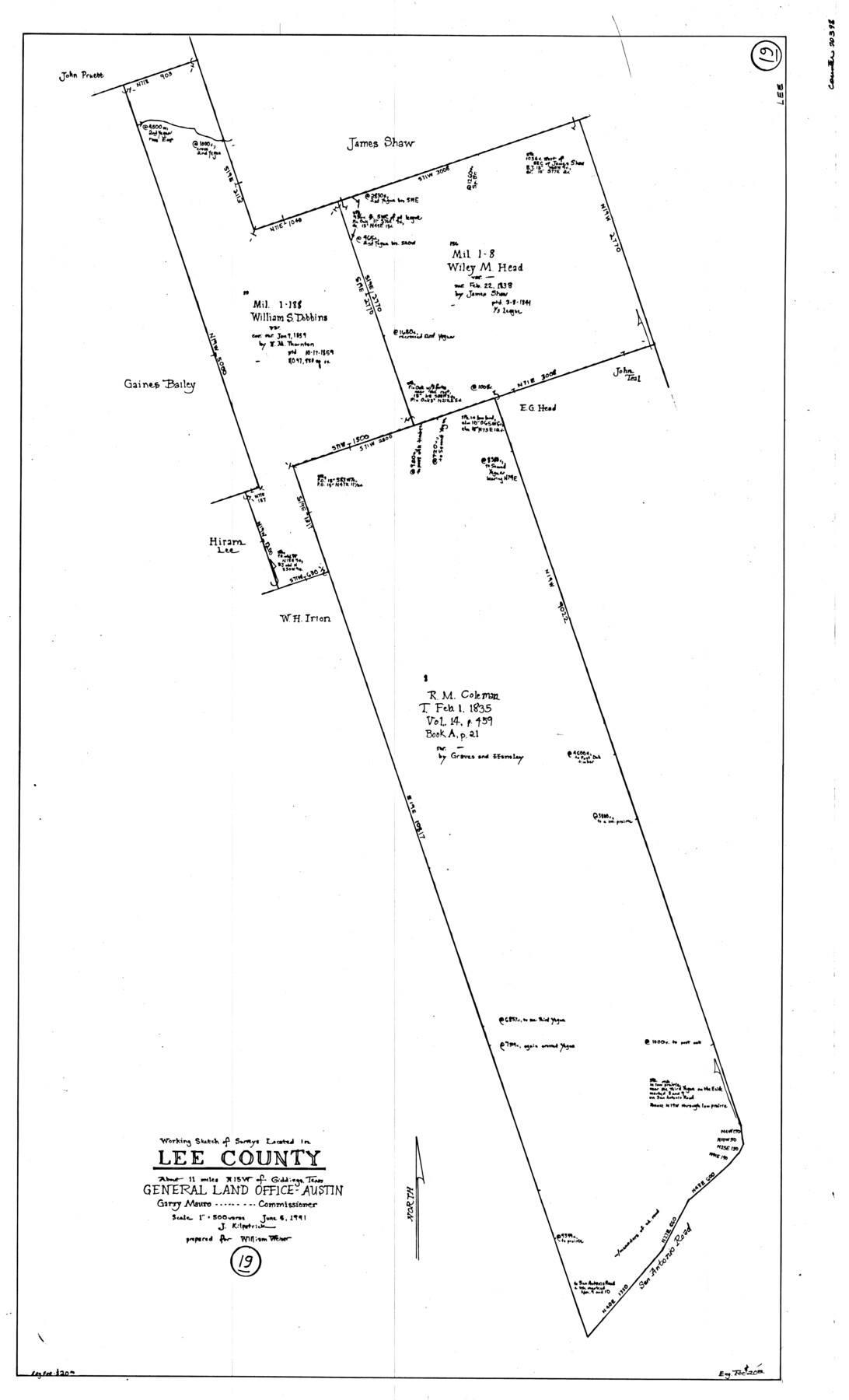
Lee County Working Sketch 19
-
Map/Doc
70398
-
Collection
General Map Collection
-
Object Dates
6/5/1991 (Creation Date)
-
People and Organizations
Joan Kilpatrick (Draftsman)
-
Counties
Lee
-
Subjects
Surveying Working Sketch
-
Height x Width
33.1 x 20.1 inches
84.1 x 51.1 cm
-
Scale
1" = 500 varas
Part of: General Map Collection
Refugio County Aerial Photograph Index Sheet 1

Print $20.00
- Digital $50.00
Refugio County Aerial Photograph Index Sheet 1
1957
Size 23.1 x 18.8 inches
Map/Doc 83742
Map of Webb County

Print $20.00
- Digital $50.00
Map of Webb County
1878
Size 37.0 x 26.0 inches
Map/Doc 4130
Mexicque, ou Nouvelle Espagne, Nouvelle Gallice, Iucatan & c. et autres Provinces jusques a L'Isthme de Panama; ou font les Audiences de Mexico, de Guadalaiara, et de Guatimala

Print $20.00
- Digital $50.00
Mexicque, ou Nouvelle Espagne, Nouvelle Gallice, Iucatan & c. et autres Provinces jusques a L'Isthme de Panama; ou font les Audiences de Mexico, de Guadalaiara, et de Guatimala
1656
Size 15.7 x 22.3 inches
Map/Doc 95831
Flight Mission No. CUG-1P, Frame 85, Kleberg County

Print $20.00
- Digital $50.00
Flight Mission No. CUG-1P, Frame 85, Kleberg County
1956
Size 18.6 x 22.2 inches
Map/Doc 86150
Pecos County Rolled Sketch 167

Print $20.00
- Digital $50.00
Pecos County Rolled Sketch 167
1886
Size 41.1 x 27.1 inches
Map/Doc 7291
Brewster County Sketch File NS-9

Print $40.00
- Digital $50.00
Brewster County Sketch File NS-9
1944
Size 14.2 x 8.9 inches
Map/Doc 16135
Guadalupe County Sketch File 9

Print $4.00
- Digital $50.00
Guadalupe County Sketch File 9
1862
Size 9.9 x 8.1 inches
Map/Doc 24677
Kinney County Working Sketch 38

Print $20.00
- Digital $50.00
Kinney County Working Sketch 38
1971
Size 28.9 x 30.6 inches
Map/Doc 70220
Houston County Sketch File 37

Print $6.00
- Digital $50.00
Houston County Sketch File 37
1846
Size 12.8 x 7.8 inches
Map/Doc 26819

Tyler County Working Sketch 20

Print $20.00
- Digital $50.00
Tyler County Working Sketch 20
1982
Size 41.0 x 32.7 inches
Map/Doc 69490
Borden County Sketch File 3b

Print $40.00
- Digital $50.00
Borden County Sketch File 3b
1902
Size 9.5 x 21.1 inches
Map/Doc 10933
You may also like
Castro County Sketch File 4e

Print $4.00
- Digital $50.00
Castro County Sketch File 4e
Size 13.6 x 8.9 inches
Map/Doc 17473
Sabine County

Print $20.00
- Digital $50.00
Sabine County
1920
Size 43.5 x 34.2 inches
Map/Doc 63013
Current Miscellaneous File 35

Print $10.00
- Digital $50.00
Current Miscellaneous File 35
Size 14.2 x 8.7 inches
Map/Doc 73947
The Republic County of Bastrop. January 25, 1840

Print $20.00
The Republic County of Bastrop. January 25, 1840
2020
Size 14.7 x 21.6 inches
Map/Doc 96091
Lampasas County

Print $20.00
- Digital $50.00
Lampasas County
1972
Size 34.4 x 43.4 inches
Map/Doc 73214
Reeves County Working Sketch 41

Print $40.00
- Digital $50.00
Reeves County Working Sketch 41
1973
Size 42.5 x 53.4 inches
Map/Doc 63484
Flight Mission No. DQO-7K, Frame 113, Galveston County

Print $20.00
- Digital $50.00
Flight Mission No. DQO-7K, Frame 113, Galveston County
1952
Size 18.7 x 22.3 inches
Map/Doc 85128
Henderson County Working Sketch 30

Print $20.00
- Digital $50.00
Henderson County Working Sketch 30
1962
Size 44.5 x 43.8 inches
Map/Doc 66163
Potter County

Print $20.00
- Digital $50.00
Potter County
1960
Size 42.6 x 34.6 inches
Map/Doc 66985
Flight Mission No. DCL-6C, Frame 94, Kenedy County

Print $20.00
- Digital $50.00
Flight Mission No. DCL-6C, Frame 94, Kenedy County
1943
Size 18.6 x 22.3 inches
Map/Doc 85924
Atascosa County Sketch File 12

Print $4.00
- Digital $50.00
Atascosa County Sketch File 12
1862
Size 14.4 x 8.3 inches
Map/Doc 13769
Floyd County Sketch File 20

Print $4.00
- Digital $50.00
Floyd County Sketch File 20
1914
Size 14.5 x 8.9 inches
Map/Doc 22772