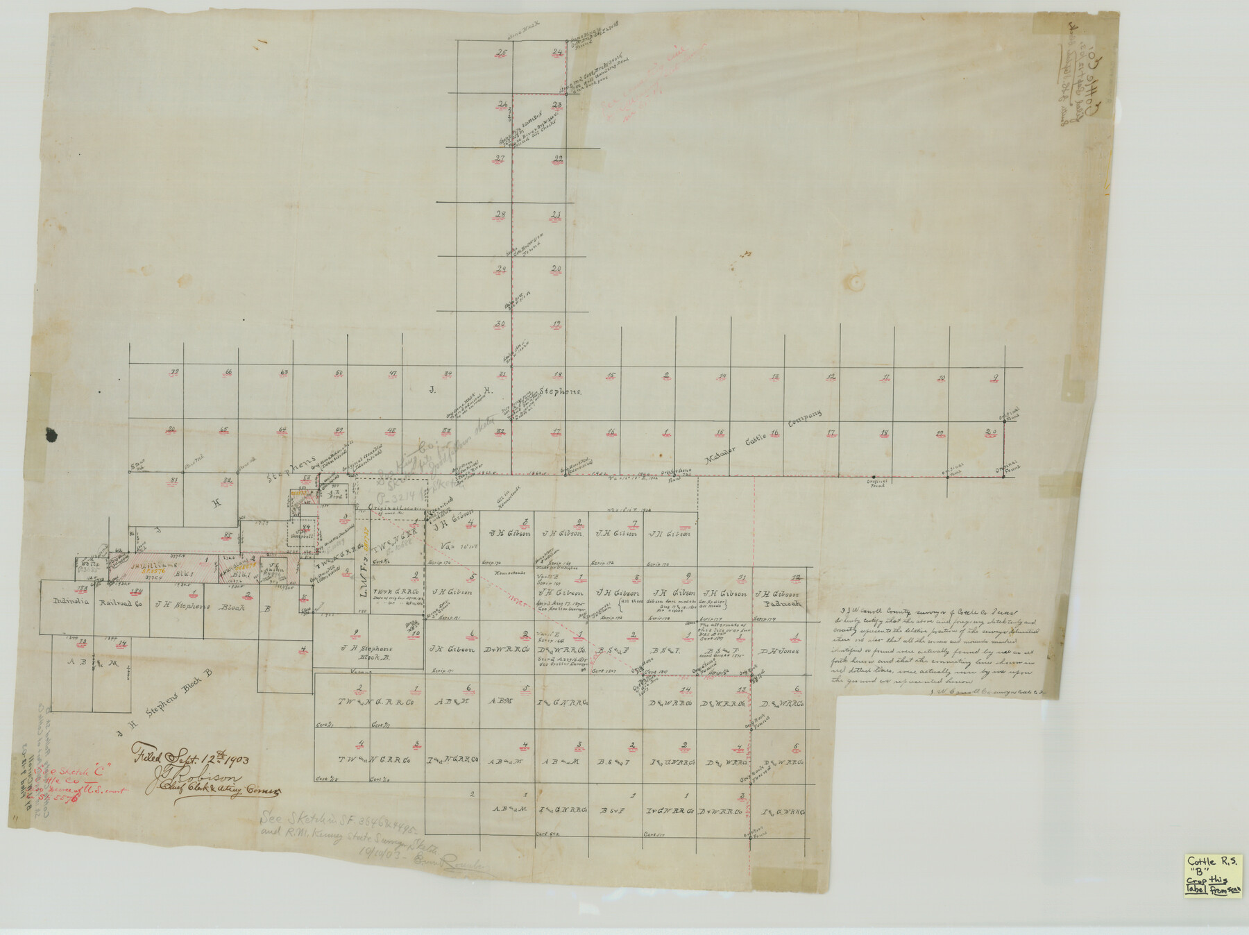
Cottle County Rolled Sketch B
[Sketch in the west part of Cottle County]
-
Map/Doc
8671
-
Collection
General Map Collection
-
Object Dates
1903/9/12 (File Date)
1903 (Creation Date)
-
People and Organizations
J.W. Carroll (Surveyor/Engineer)
-
Counties
Cottle
-
Subjects
Surveying Rolled Sketch
-
Height x Width
32.5 x 43.4 inches
82.6 x 110.2 cm
-
Medium
linen, manuscript
-
Comments
See Cottle County Sketch File 17 (19554).
Related maps
Cottle County Sketch File 17

Print $6.00
- Digital $50.00
Cottle County Sketch File 17
1903
Size 7.2 x 10.9 inches
Map/Doc 19554
Part of: General Map Collection
Cottle County Rolled Sketch OX

Print $20.00
- Digital $50.00
Cottle County Rolled Sketch OX
1916
Size 29.6 x 35.8 inches
Map/Doc 8673
Flight Mission No. BRA-16M, Frame 60, Jefferson County

Print $20.00
- Digital $50.00
Flight Mission No. BRA-16M, Frame 60, Jefferson County
1953
Size 18.6 x 22.3 inches
Map/Doc 85677
San Antonio Bay and Vicinity in Aransas and Calhoun Counties, showing Subdivsion for Mineral Development

Print $40.00
- Digital $50.00
San Antonio Bay and Vicinity in Aransas and Calhoun Counties, showing Subdivsion for Mineral Development
1948
Size 37.0 x 74.5 inches
Map/Doc 1912
Brazoria County NRC Article 33.136 Sketch 15

Print $44.00
- Digital $50.00
Brazoria County NRC Article 33.136 Sketch 15
2014
Size 39.8 x 30.0 inches
Map/Doc 94698
Trinity River, Wildcat Ferry Sheet

Print $20.00
- Digital $50.00
Trinity River, Wildcat Ferry Sheet
1928
Size 41.5 x 40.9 inches
Map/Doc 65182
Limestone Co.

Print $40.00
- Digital $50.00
Limestone Co.
1971
Size 49.9 x 34.5 inches
Map/Doc 95571
Williamson County Working Sketch Graphic Index

Print $40.00
- Digital $50.00
Williamson County Working Sketch Graphic Index
1946
Size 38.4 x 55.7 inches
Map/Doc 76742
Tarrant's Key and Guide to Dallas

Print $3.00
- Digital $50.00
Tarrant's Key and Guide to Dallas
1922
Size 7.9 x 10.4 inches
Map/Doc 89257

Cherokee County Sketch File 14

Print $4.00
- Digital $50.00
Cherokee County Sketch File 14
1860
Size 8.0 x 5.9 inches
Map/Doc 18147
Stonewall County Working Sketch Graphic Index - sheet B

Print $20.00
- Digital $50.00
Stonewall County Working Sketch Graphic Index - sheet B
1933
Size 43.7 x 36.6 inches
Map/Doc 83172
Flight Mission No. CGI-2N, Frame 153, Cameron County

Print $20.00
- Digital $50.00
Flight Mission No. CGI-2N, Frame 153, Cameron County
1954
Size 18.8 x 22.3 inches
Map/Doc 84535
You may also like
[C. C. Slaughter Block 1, T. T. RR. Co. Block 2]
![90622, [C. C. Slaughter Block 1, T. T. RR. Co. Block 2], Twichell Survey Records](https://historictexasmaps.com/wmedia_w700/maps/90622-1.tif.jpg)
Print $3.00
- Digital $50.00
[C. C. Slaughter Block 1, T. T. RR. Co. Block 2]
Size 10.5 x 10.8 inches
Map/Doc 90622
Harris County Rolled Sketch 93

Print $20.00
- Digital $50.00
Harris County Rolled Sketch 93
1983
Size 45.0 x 40.2 inches
Map/Doc 9142
Aransas Pass to Baffin Bay

Print $20.00
- Digital $50.00
Aransas Pass to Baffin Bay
1961
Size 42.1 x 35.4 inches
Map/Doc 73414
Robertson County Sketch File 4

Print $12.00
Robertson County Sketch File 4
1862
Size 11.0 x 8.0 inches
Map/Doc 35352
San Patricio County Rolled Sketch 53

Print $20.00
- Digital $50.00
San Patricio County Rolled Sketch 53
1996
Size 19.1 x 25.3 inches
Map/Doc 7738
Harris County Historic Topographic 32

Print $20.00
- Digital $50.00
Harris County Historic Topographic 32
1916
Size 29.3 x 21.6 inches
Map/Doc 65843
Hays County Working Sketch 5

Print $20.00
- Digital $50.00
Hays County Working Sketch 5
1929
Size 28.2 x 29.6 inches
Map/Doc 66079
Aransas County Rolled Sketch 7

Print $437.00
- Digital $50.00
Aransas County Rolled Sketch 7
Map/Doc 42081
[Sketch filed with corrected field notes of Surveys 27, 28, 29 and 30, Block B-19, PSL]
![91848, [Sketch filed with corrected field notes of Surveys 27, 28, 29 and 30, Block B-19, PSL], Twichell Survey Records](https://historictexasmaps.com/wmedia_w700/maps/91848-1.tif.jpg)
Print $20.00
- Digital $50.00
[Sketch filed with corrected field notes of Surveys 27, 28, 29 and 30, Block B-19, PSL]
1943
Size 19.9 x 15.1 inches
Map/Doc 91848
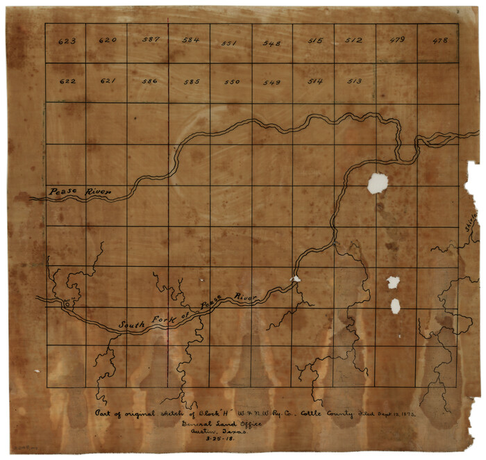
Part of original sketch of Block "H" W. & N. W. Ry. Co. Cottle County
Print $20.00
- Digital $50.00
Part of original sketch of Block "H" W. & N. W. Ry. Co. Cottle County
1918
Size 13.7 x 14.6 inches
Map/Doc 10776
Webb County Rolled Sketch 47

Print $20.00
- Digital $50.00
Webb County Rolled Sketch 47
Size 23.5 x 31.7 inches
Map/Doc 8203
[Surveys in Burleson County]
![78355, [Surveys in Burleson County], General Map Collection](https://historictexasmaps.com/wmedia_w700/maps/78355.tif.jpg)
Print $20.00
- Digital $50.00
[Surveys in Burleson County]
Size 19.6 x 28.3 inches
Map/Doc 78355