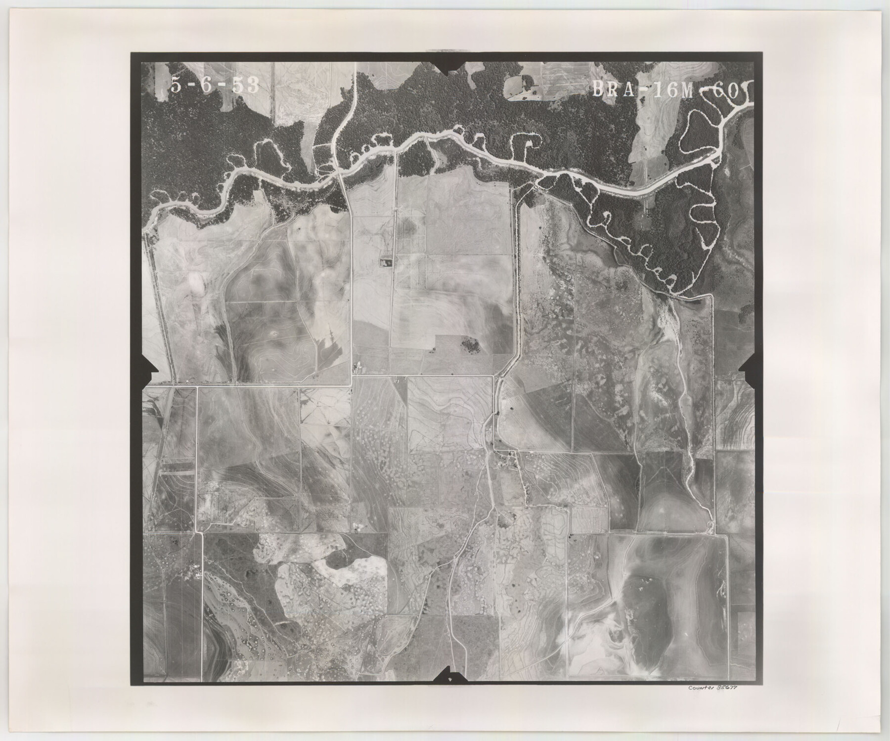
Flight Mission No. BRA-16M, Frame 60, Jefferson County
BRA-16M-60
-
Map/Doc
85677
-
Collection
General Map Collection
-
Object Dates
1953/5/6 (Creation Date)
-
People and Organizations
U. S. Department of Agriculture (Publisher)
-
Counties
Jefferson
-
Subjects
Aerial Photograph
-
Height x Width
18.6 x 22.3 inches
47.2 x 56.6 cm
-
Comments
Flown by Jack Ammann Photogrammetric Engineers of San Antonio, Texas.
Part of: General Map Collection
Matagorda County Sketch File 42a

Print $18.00
- Digital $50.00
Matagorda County Sketch File 42a
1914
Size 11.2 x 8.6 inches
Map/Doc 30853
Midland County Boundary File 5

Print $6.00
- Digital $50.00
Midland County Boundary File 5
Size 9.6 x 6.0 inches
Map/Doc 57195
Jones County Rolled Sketch 3

Print $20.00
- Digital $50.00
Jones County Rolled Sketch 3
2016
Size 22.1 x 34.4 inches
Map/Doc 97130
Dickens County Sketch File 25

Print $20.00
- Digital $50.00
Dickens County Sketch File 25
1914
Size 19.2 x 14.4 inches
Map/Doc 11326
Flight Mission No. DAG-17K, Frame 59, Matagorda County

Print $20.00
- Digital $50.00
Flight Mission No. DAG-17K, Frame 59, Matagorda County
1952
Size 18.6 x 22.5 inches
Map/Doc 86321
Erath County Rolled Sketch 1

Print $40.00
- Digital $50.00
Erath County Rolled Sketch 1
1962
Size 37.6 x 69.0 inches
Map/Doc 8882
Ector County Working Sketch 27

Print $20.00
- Digital $50.00
Ector County Working Sketch 27
Size 28.0 x 32.7 inches
Map/Doc 68870
Harris County Rolled Sketch 88

Print $20.00
- Digital $50.00
Harris County Rolled Sketch 88
1936
Size 34.6 x 22.8 inches
Map/Doc 6124

Railroad Track Map, H&TCRRCo., Falls County, Texas

Print $4.00
- Digital $50.00
Railroad Track Map, H&TCRRCo., Falls County, Texas
1918
Size 11.8 x 18.6 inches
Map/Doc 62840
Potter County Boundary File 3c

Print $6.00
- Digital $50.00
Potter County Boundary File 3c
Size 11.4 x 8.8 inches
Map/Doc 57984
Aransas County Rolled Sketch 16

Print $40.00
- Digital $50.00
Aransas County Rolled Sketch 16
1965
Size 45.9 x 92.9 inches
Map/Doc 9005
You may also like
[Map showing J. H. Gibson Blocks D and DD]
![92000, [Map showing J. H. Gibson Blocks D and DD], Twichell Survey Records](https://historictexasmaps.com/wmedia_w700/maps/92000-1.tif.jpg)
Print $20.00
- Digital $50.00
[Map showing J. H. Gibson Blocks D and DD]
Size 26.1 x 18.8 inches
Map/Doc 92000
Trinity River, Emhouse Sheet/Chambers Creek

Print $20.00
- Digital $50.00
Trinity River, Emhouse Sheet/Chambers Creek
1931
Size 35.8 x 35.3 inches
Map/Doc 65233
Presidio County Rolled Sketch 138

Print $20.00
- Digital $50.00
Presidio County Rolled Sketch 138
2000
Size 36.7 x 25.1 inches
Map/Doc 7405
North Part of Brewster Co.

Print $20.00
- Digital $50.00
North Part of Brewster Co.
1956
Size 42.1 x 40.2 inches
Map/Doc 73088
[Sketch Showing Wm. T. Brewer, John R. Taylor, Wm. F. Butler, Timothy DeVore, L. M. Thorn and adjoining surveys]
![90231, [Sketch Showing Wm. T. Brewer, John R. Taylor, Wm. F. Butler, Timothy DeVore, L. M. Thorn and adjoining surveys], Twichell Survey Records](https://historictexasmaps.com/wmedia_w700/maps/90231-1.tif.jpg)
Print $20.00
- Digital $50.00
[Sketch Showing Wm. T. Brewer, John R. Taylor, Wm. F. Butler, Timothy DeVore, L. M. Thorn and adjoining surveys]
Size 27.2 x 19.4 inches
Map/Doc 90231
Flight Mission No. DCL-6C, Frame 93, Kenedy County

Print $20.00
- Digital $50.00
Flight Mission No. DCL-6C, Frame 93, Kenedy County
1943
Size 18.6 x 22.3 inches
Map/Doc 85923
Stonewall County Working Sketch 30

Print $20.00
- Digital $50.00
Stonewall County Working Sketch 30
1982
Size 28.6 x 29.0 inches
Map/Doc 62337
San Antonio, Texas Street Map

San Antonio, Texas Street Map
1997
Size 36.5 x 46.7 inches
Map/Doc 96868
Southern Part of Laguna Madre

Print $20.00
- Digital $50.00
Southern Part of Laguna Madre
1946
Size 43.8 x 34.5 inches
Map/Doc 73534
Stephens County Sketch File 20

Print $20.00
- Digital $50.00
Stephens County Sketch File 20
Size 19.2 x 36.7 inches
Map/Doc 12350
El Paso County Sketch File 21

Print $35.00
- Digital $50.00
El Paso County Sketch File 21
1916
Size 14.5 x 9.1 inches
Map/Doc 22014
Map of the Central and Montgomery Railroad

Print $20.00
- Digital $50.00
Map of the Central and Montgomery Railroad
1881
Size 12.6 x 36.8 inches
Map/Doc 64141