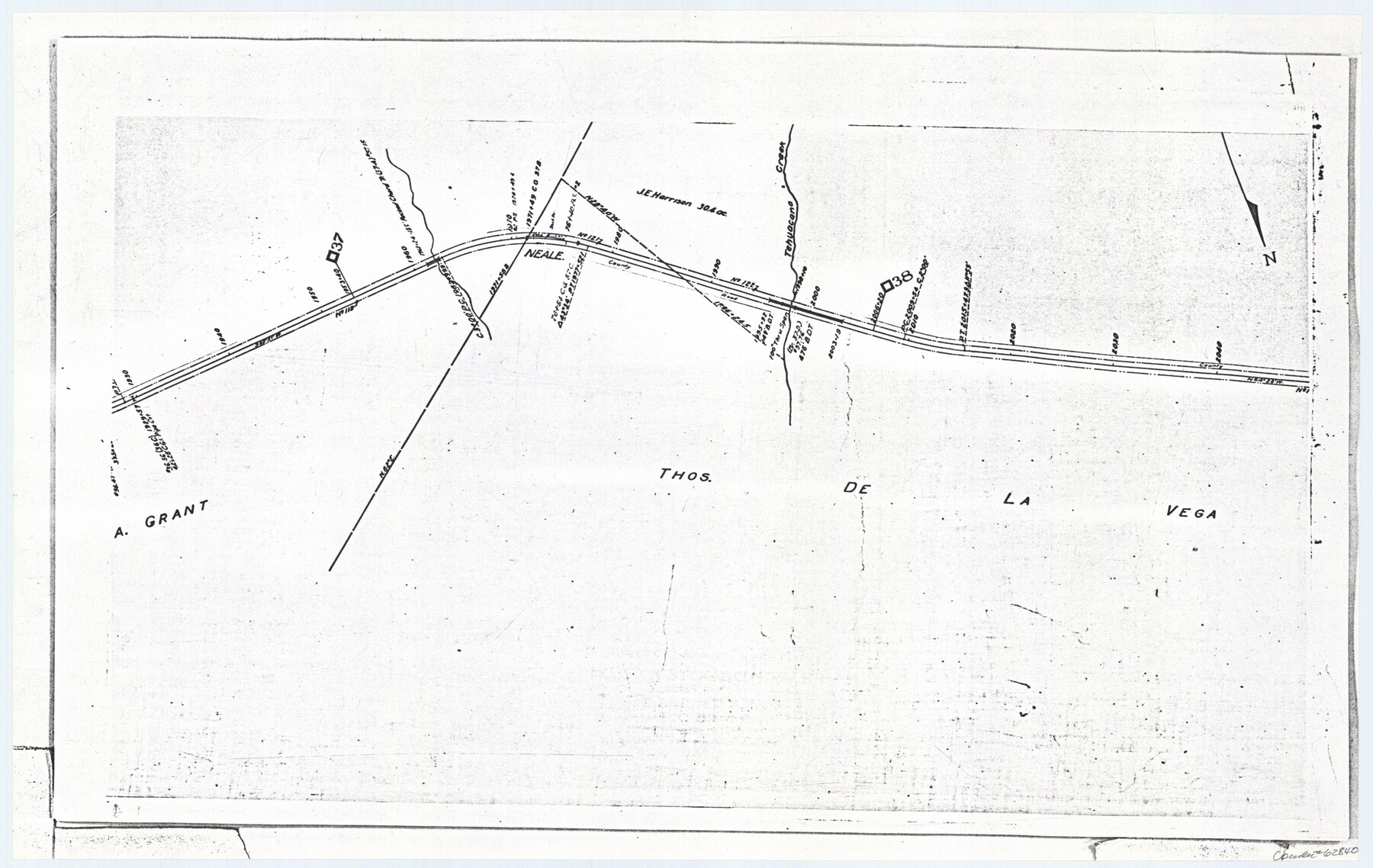
Railroad Track Map, H&TCRRCo., Falls County, Texas
Right of Way and Track Map
K-7-79 flat folder
-
Map/Doc
62840
-
Collection
General Map Collection
-
Object Dates
1918 (Creation Date)
-
Counties
Falls
-
Subjects
Railroads
-
Height x Width
11.8 x 18.6 inches
30.0 x 47.2 cm
-
Comments
Operated by the Texas and New Orleans Railroad Company, Waco Branch.
Part of: General Map Collection
Wharton County Sketch File 25

Print $4.00
- Digital $50.00
Wharton County Sketch File 25
1978
Size 11.1 x 8.7 inches
Map/Doc 39988
Kimble County Working Sketch 94

Print $20.00
- Digital $50.00
Kimble County Working Sketch 94
1993
Size 28.3 x 33.7 inches
Map/Doc 70162
Foard County Working Sketch 2

Print $20.00
- Digital $50.00
Foard County Working Sketch 2
1911
Size 26.3 x 41.4 inches
Map/Doc 69192
Map of section no. 12 of a survey of Padre Island made for the Office of the Attorney General of the State of Texas

Print $40.00
- Digital $50.00
Map of section no. 12 of a survey of Padre Island made for the Office of the Attorney General of the State of Texas
1941
Size 75.9 x 41.0 inches
Map/Doc 2268
Presidio County Working Sketch 15

Print $20.00
- Digital $50.00
Presidio County Working Sketch 15
1942
Size 38.1 x 41.3 inches
Map/Doc 71691
Houston County Sketch File 27

Print $20.00
- Digital $50.00
Houston County Sketch File 27
Size 18.8 x 21.6 inches
Map/Doc 11788
Map of Wharton County

Print $40.00
- Digital $50.00
Map of Wharton County
1895
Size 48.2 x 53.8 inches
Map/Doc 82055
Houston County Working Sketch 4

Print $20.00
- Digital $50.00
Houston County Working Sketch 4
1911
Size 15.5 x 21.8 inches
Map/Doc 66234
Hood County Working Sketch 11

Print $20.00
- Digital $50.00
Hood County Working Sketch 11
1976
Size 19.7 x 25.2 inches
Map/Doc 66205
Liberty County Rolled Sketch 12

Print $20.00
- Digital $50.00
Liberty County Rolled Sketch 12
1983
Size 26.5 x 22.6 inches
Map/Doc 6618
Calhoun County Sketch File 16

Print $4.00
- Digital $50.00
Calhoun County Sketch File 16
1954
Size 10.7 x 8.3 inches
Map/Doc 35982
Lipscomb County Boundary File 14b

Print $60.00
- Digital $50.00
Lipscomb County Boundary File 14b
Size 7.3 x 8.7 inches
Map/Doc 56370
You may also like
Lampasas County Working Sketch 15

Print $20.00
- Digital $50.00
Lampasas County Working Sketch 15
1975
Size 28.5 x 23.8 inches
Map/Doc 70292
Hudspeth County Working Sketch 53-2

Print $40.00
- Digital $50.00
Hudspeth County Working Sketch 53-2
1988
Size 49.9 x 43.3 inches
Map/Doc 78210
Live Oak County Working Sketch 16

Print $20.00
- Digital $50.00
Live Oak County Working Sketch 16
1954
Size 22.2 x 21.8 inches
Map/Doc 70601
Amistad International Reservoir on Rio Grande 104

Print $20.00
- Digital $50.00
Amistad International Reservoir on Rio Grande 104
1950
Size 28.5 x 40.9 inches
Map/Doc 75535
Flight Mission No. DAG-24K, Frame 37, Matagorda County

Print $20.00
- Digital $50.00
Flight Mission No. DAG-24K, Frame 37, Matagorda County
1953
Size 18.5 x 22.2 inches
Map/Doc 86524
Brewster County Sketch File B-1

Print $6.00
- Digital $50.00
Brewster County Sketch File B-1
1910
Size 14.2 x 8.8 inches
Map/Doc 15716
Controlled Mosaic by Jack Amman Photogrammetric Engineers, Inc - Sheet 5

Print $20.00
- Digital $50.00
Controlled Mosaic by Jack Amman Photogrammetric Engineers, Inc - Sheet 5
1954
Size 20.8 x 24.0 inches
Map/Doc 83449
Flight Mission No. BRA-16M, Frame 88, Jefferson County

Print $20.00
- Digital $50.00
Flight Mission No. BRA-16M, Frame 88, Jefferson County
1953
Size 18.5 x 22.3 inches
Map/Doc 85700
Laguna Madre, Texas from Latitude 26° 20' to 26° 27'

Print $40.00
- Digital $50.00
Laguna Madre, Texas from Latitude 26° 20' to 26° 27'
1879
Size 32.7 x 55.0 inches
Map/Doc 73498
Delta County Sketch File 1a

Print $4.00
- Digital $50.00
Delta County Sketch File 1a
Size 8.3 x 8.9 inches
Map/Doc 20668
Map of the Survey of the Parallel 36 1/2 Degrees North Latitude, Commencing at the 100th and Running to the 103rd Degree of Longitude West of Greenwich

Print $40.00
- Digital $50.00
Map of the Survey of the Parallel 36 1/2 Degrees North Latitude, Commencing at the 100th and Running to the 103rd Degree of Longitude West of Greenwich
1862
Size 87.1 x 11.1 inches
Map/Doc 3084
Plat in Pecos County, Texas

Print $20.00
- Digital $50.00
Plat in Pecos County, Texas
Size 38.7 x 37.5 inches
Map/Doc 89834