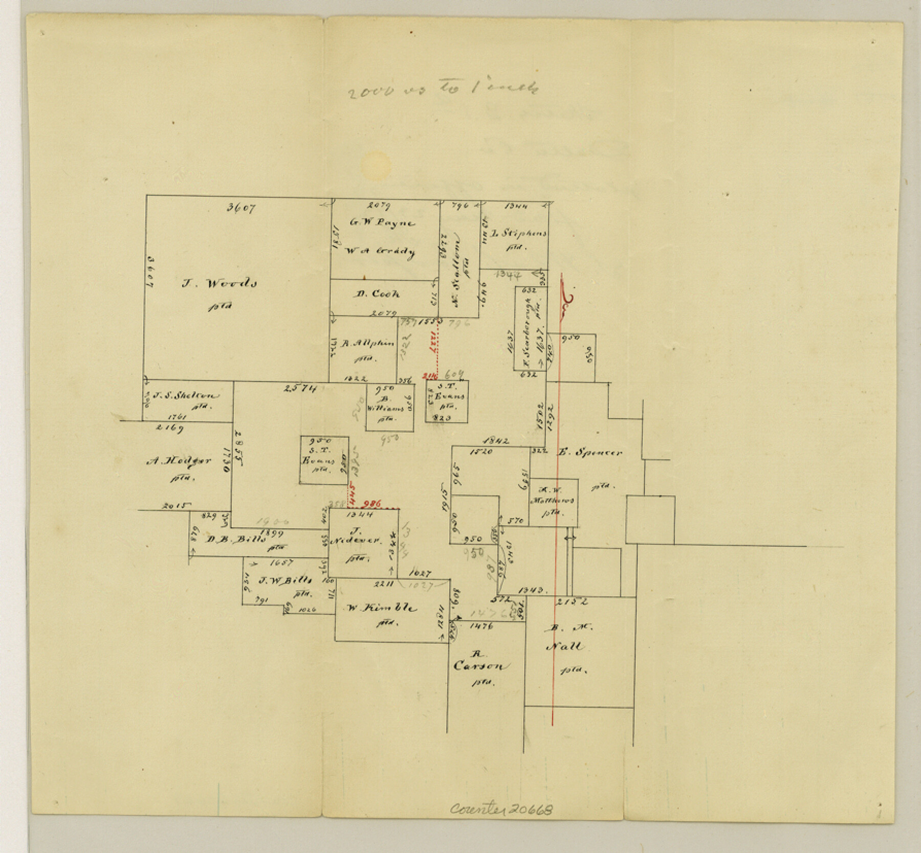
Delta County Sketch File 1a
[Sketch southwest of Cooper]
-
Map/Doc
20668
-
Collection
General Map Collection
-
Object Dates
1872/5/23 (File Date)
-
Counties
Delta
-
Subjects
Surveying Sketch File
-
Height x Width
8.3 x 8.9 inches
21.1 x 22.6 cm
-
Medium
paper, manuscript
-
Scale
1" = 2000 varas
Part of: General Map Collection
Map of the Woodbine Artesian Reservoirs of the Black and Grand Prairies of Texas including the eastern and western Cross Timbers

Print $20.00
- Digital $50.00
Map of the Woodbine Artesian Reservoirs of the Black and Grand Prairies of Texas including the eastern and western Cross Timbers
1900
Size 22.8 x 17.8 inches
Map/Doc 75918
Map of the Connection of S. C. Robertson's Survey

Print $3.00
- Digital $50.00
Map of the Connection of S. C. Robertson's Survey
1846
Size 10.5 x 16.0 inches
Map/Doc 334
Donley County Rolled Sketch 2

Print $20.00
- Digital $50.00
Donley County Rolled Sketch 2
Size 41.8 x 34.3 inches
Map/Doc 8800
Controlled Mosaic by Jack Amman Photogrammetric Engineers, Inc - Sheet 19

Print $20.00
- Digital $50.00
Controlled Mosaic by Jack Amman Photogrammetric Engineers, Inc - Sheet 19
1954
Size 20.0 x 24.0 inches
Map/Doc 83464
Fort Bend County Boundary File 1a

Print $8.00
- Digital $50.00
Fort Bend County Boundary File 1a
Size 12.9 x 8.1 inches
Map/Doc 53555
Crockett County Working Sketch 12

Print $20.00
- Digital $50.00
Crockett County Working Sketch 12
1915
Size 19.3 x 15.4 inches
Map/Doc 68345
Polk County Sketch File 29

Print $4.00
- Digital $50.00
Polk County Sketch File 29
Size 8.8 x 12.6 inches
Map/Doc 34200
San Patricio County Sketch File 23

Print $20.00
San Patricio County Sketch File 23
1910
Size 22.9 x 12.9 inches
Map/Doc 12286
Right of Way & Track Map, St. Louis, Brownsville & Mexico Ry. operated by St. Louis, Brownsville & Mexico Ry. Co.

Print $40.00
- Digital $50.00
Right of Way & Track Map, St. Louis, Brownsville & Mexico Ry. operated by St. Louis, Brownsville & Mexico Ry. Co.
1919
Size 25.5 x 57.3 inches
Map/Doc 64622
Galveston County Sketch File 29

Print $40.00
- Digital $50.00
Galveston County Sketch File 29
Size 35.1 x 29.3 inches
Map/Doc 10454
Intracoastal Waterway in Texas - Corpus Christi to Point Isabel including Arroyo Colorado to Mo. Pac. R.R. Bridge Near Harlingen

Print $20.00
- Digital $50.00
Intracoastal Waterway in Texas - Corpus Christi to Point Isabel including Arroyo Colorado to Mo. Pac. R.R. Bridge Near Harlingen
1933
Size 28.0 x 41.0 inches
Map/Doc 61875
San Augustine County Working Sketch 11a

Print $20.00
- Digital $50.00
San Augustine County Working Sketch 11a
Size 18.8 x 24.4 inches
Map/Doc 63698
You may also like
Soil Map, Texas, Woodville Sheet

Print $20.00
- Digital $50.00
Soil Map, Texas, Woodville Sheet
1903
Size 13.2 x 14.3 inches
Map/Doc 3077
Upshur County Working Sketch 9

Print $20.00
- Digital $50.00
Upshur County Working Sketch 9
1963
Size 27.9 x 17.7 inches
Map/Doc 69565
Flight Mission No. CGI-1N, Frame 217, Cameron County

Print $20.00
- Digital $50.00
Flight Mission No. CGI-1N, Frame 217, Cameron County
1955
Size 18.6 x 22.2 inches
Map/Doc 84526
Flight Mission No. CRC-6R, Frame 13, Chambers County

Print $20.00
- Digital $50.00
Flight Mission No. CRC-6R, Frame 13, Chambers County
1956
Size 18.6 x 22.3 inches
Map/Doc 84967
McMullen County Working Sketch 50

Print $20.00
- Digital $50.00
McMullen County Working Sketch 50
1983
Size 18.4 x 18.0 inches
Map/Doc 70751
Houston County Sketch File 7a

Print $4.00
- Digital $50.00
Houston County Sketch File 7a
Size 7.6 x 8.2 inches
Map/Doc 26766
Grayson County Working Sketch 20

Print $20.00
- Digital $50.00
Grayson County Working Sketch 20
1956
Size 25.4 x 31.3 inches
Map/Doc 63259
Kaufman County Working Sketch 7

Print $20.00
- Digital $50.00
Kaufman County Working Sketch 7
1984
Size 33.6 x 35.5 inches
Map/Doc 66670
Garza County Rolled Sketch 7

Print $11.00
- Digital $50.00
Garza County Rolled Sketch 7
1905
Size 10.0 x 15.4 inches
Map/Doc 45229
Orange County Working Sketch 44

Print $20.00
- Digital $50.00
Orange County Working Sketch 44
1980
Size 16.5 x 22.0 inches
Map/Doc 71376
Rusk County Sketch File 11

Print $4.00
Rusk County Sketch File 11
1849
Size 8.5 x 9.1 inches
Map/Doc 35509
Tyler County Sketch File 18

Print $4.00
- Digital $50.00
Tyler County Sketch File 18
1879
Size 8.2 x 8.7 inches
Map/Doc 38668