1150 results

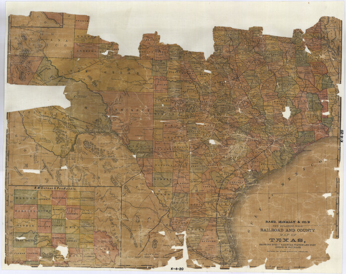
Railroad and County Map of Texas
10748.tif
Print $20.00 - Digital $50.00

Railroad and County Map of Texas

1906
Size: 46.0 x 47.6 inches
10748
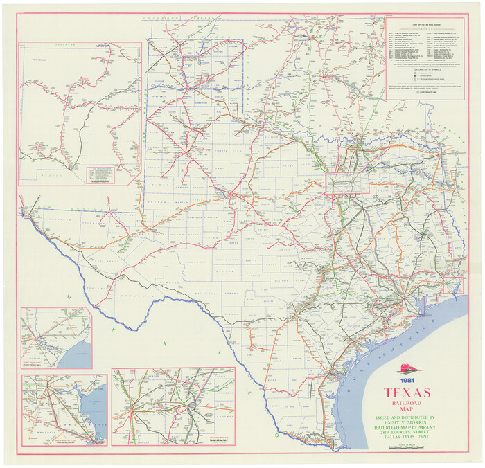
Texas Railroad Map
2101.tif
Print $20.00 - Digital $50.00

Texas Railroad Map

1981

Size: 34.8 x 35.6 inches
2101
Rand, McNally and Co.'s New Enlarged Scale Railroad and County Map of Texas, Showing Every Railroad Station and Post Office in the State
2135.tif
Print $20.00 - Digital $50.00

Rand, McNally and Co.'s New Enlarged Scale Railroad and County Map of Texas, Showing Every Railroad Station and Post Office in the State

1882

Size: 23.7 x 29.8 inches
2135
Railroad and County Map of Texas
2141.tif
Print $20.00 - Digital $50.00

Railroad and County Map of Texas

1908

Size: 42.7 x 44.7 inches
2141
Map of the Recognised Line M. EL. P. & P. R. R. from East Line of Bexar Land District to El Paso
2218.tif
Print $20.00 - Digital $50.00

Map of the Recognised Line M. EL. P. & P. R. R. from East Line of Bexar Land District to El Paso

1857

Size: 7.5 x 41.8 inches
2218
Map of the Lands Surveyed by the Memphis, El Paso & Pacific R.R. Company
2219.tif
Print $20.00 - Digital $50.00

Map of the Lands Surveyed by the Memphis, El Paso & Pacific R.R. Company

1859

Size: 15.0 x 30.0 inches
2219
T&P Ry. from Texarkana to Atlanta
2327.tif
Print $40.00 - Digital $50.00

T&P Ry. from Texarkana to Atlanta

1910
Size: 19.8 x 77.4 inches
2327
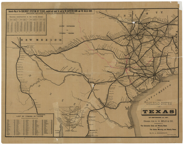
The Railroad System of Texas on September 1st, 1887
3036.tif
Print $20.00 - Digital $50.00

The Railroad System of Texas on September 1st, 1887

1887
Size: 22.2 x 28.2 inches
3036
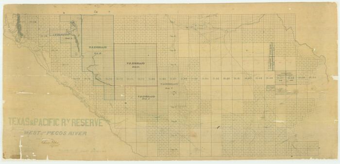
Texas & Pacific Ry Reserve west of the Pecos River
3047-GC.tif
Print $40.00 - Digital $50.00

Texas & Pacific Ry Reserve west of the Pecos River

1880

Size: 43.9 x 90.6 inches
3047
Map and Profile No. 1 from the Red River to the Rio Grande; from Explorations and surveys made under the direction of the Hon. Jeffeson Davis, Secretary of War
4330.tif
Print $40.00 - Digital $50.00

Map and Profile No. 1 from the Red River to the Rio Grande; from Explorations and surveys made under the direction of the Hon. Jeffeson Davis, Secretary of War

1856
Size: 30.5 x 57.0 inches
4330
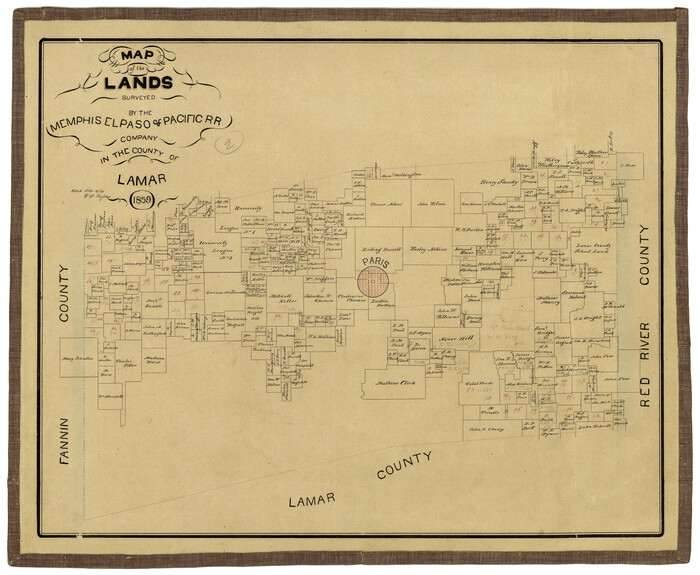
Map of the Lands Surveyed by the Memphis, El Paso & Pacific R.R. Company
4844.tif
Print $20.00 - Digital $50.00

Map of the Lands Surveyed by the Memphis, El Paso & Pacific R.R. Company

1859
Size: 15.8 x 19.0 inches
4844
Map of the Lands Surveyed by the Memphis, El Paso & Pacific R.R. Company
4845.tif
Print $20.00 - Digital $50.00

Map of the Lands Surveyed by the Memphis, El Paso & Pacific R.R. Company

1860

Size: 16.7 x 24.7 inches
4845
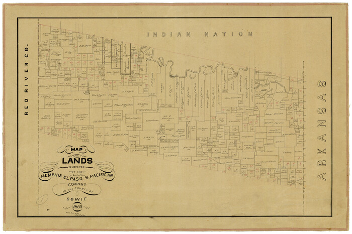
Map of the Lands Surveyed by the Memphis, El Paso & Pacific R.R. Company
4846.tif
Print $20.00 - Digital $50.00

Map of the Lands Surveyed by the Memphis, El Paso & Pacific R.R. Company

1860
Size: 18.6 x 19.0 inches
4846
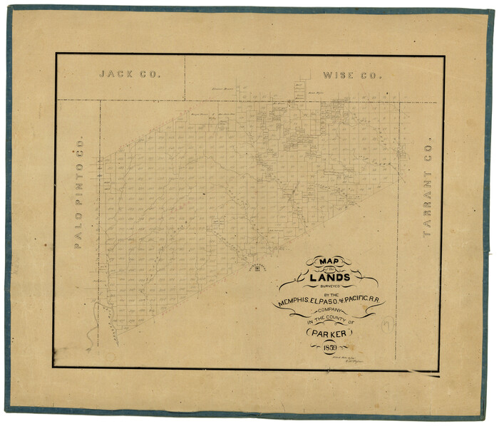
Map of the Lands Surveyed by the Memphis, El Paso & Pacific R.R. Company
4847.tif
Print $20.00 - Digital $50.00

Map of the Lands Surveyed by the Memphis, El Paso & Pacific R.R. Company

1859
Size: 19.7 x 23.3 inches
4847
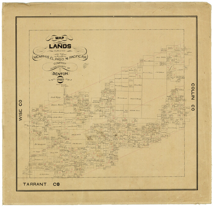
Map of the Lands Surveyed by the Memphis, El Paso & Pacific R.R. Company
4848.tif
Print $20.00 - Digital $50.00

Map of the Lands Surveyed by the Memphis, El Paso & Pacific R.R. Company

1860

Size: 20.1 x 20.8 inches
4848
Map of the Lands Surveyed by the Memphis, El Paso & Pacific R.R. Company
4849.tif
Print $20.00 - Digital $50.00

Map of the Lands Surveyed by the Memphis, El Paso & Pacific R.R. Company

1859
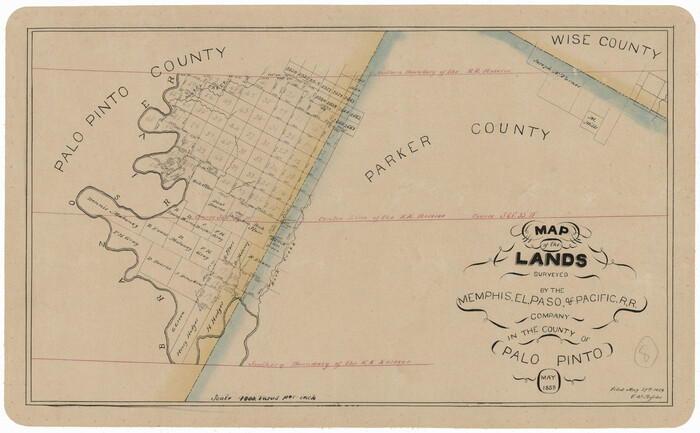
Size: 13.9 x 21.3 inches
4849
Map of the Lands Surveyed by the Memphis, El Paso & Pacific R.R. Company
4850.tif
Print $20.00 - Digital $50.00

Map of the Lands Surveyed by the Memphis, El Paso & Pacific R.R. Company

1859
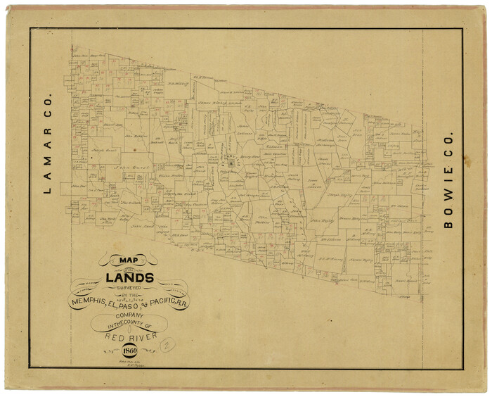
Size: 11.4 x 18.6 inches
4850
Map of the Lands Surveyed by the Memphis, El Paso & Pacific R.R. Company
4851.tif
Print $20.00 - Digital $50.00

Map of the Lands Surveyed by the Memphis, El Paso & Pacific R.R. Company

1860

Size: 17.7 x 21.7 inches
4851
[List of W.C. RR. Co. Certificates]
60504, [List of W.C. RR. Co. Certificates], General Map Collection
Print $28.00

[List of W.C. RR. Co. Certificates]

1930

Size: 14.4 x 8.9 inches
60504
FT. W. & R. G. Ry. Right of Way Map, Winchell to Brady, McCulloch County, Texas
61410.tif
Print $40.00 - Digital $50.00

FT. W. & R. G. Ry. Right of Way Map, Winchell to Brady, McCulloch County, Texas

1918
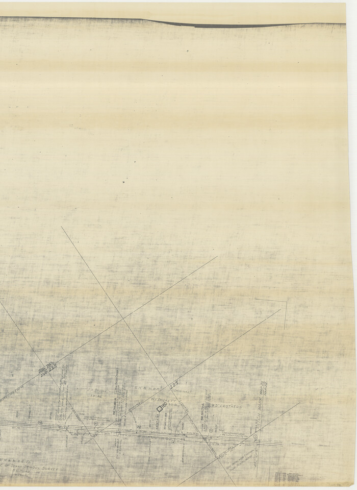
Size: 38.0 x 121.9 inches
61410
[FT. W. & R. G. Ry. Right of Way Map, Winchell to Brady, McCulloch County, Texas]
61411.tif
Print $20.00 - Digital $50.00

[FT. W. & R. G. Ry. Right of Way Map, Winchell to Brady, McCulloch County, Texas]

1918

Size: 37.0 x 26.9 inches
61411
FT. W. & R. G. Ry. Right of Way Map, Whiteland to Lightner, Concho County, Texas
61412.tif
Print $40.00 - Digital $50.00

FT. W. & R. G. Ry. Right of Way Map, Whiteland to Lightner, Concho County, Texas

1918
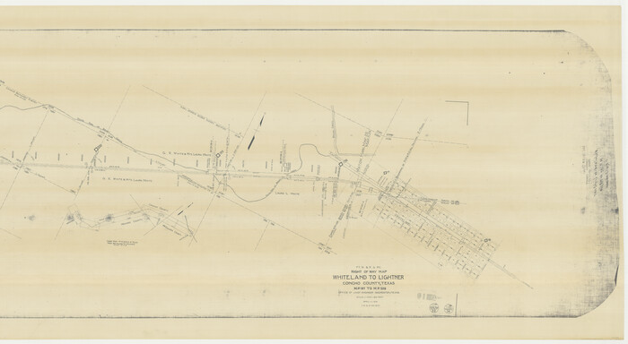
Size: 39.6 x 121.3 inches
61412
FT. W. & R. G. Ry. Right of Way Map, Whiteland to Lightner, Concho County, Texas
61413.tif
Print $40.00 - Digital $50.00

FT. W. & R. G. Ry. Right of Way Map, Whiteland to Lightner, Concho County, Texas

1918

Size: 37.5 x 68.4 inches
61413
[FT. W. & R. G. Ry. Right of Way Map, Winchell to Brady, McCulloch County, Texas]
61414.tif
Print $40.00 - Digital $50.00

[FT. W. & R. G. Ry. Right of Way Map, Winchell to Brady, McCulloch County, Texas]

1918

Size: 38.2 x 122.0 inches
61414
[FT. W. & R. G. Ry. Right of Way Map, Winchell to Brady, McCulloch County, Texas]
61415.tif
Print $40.00 - Digital $50.00

[FT. W. & R. G. Ry. Right of Way Map, Winchell to Brady, McCulloch County, Texas]

1918

Size: 38.2 x 122.0 inches
61415
FT. W. & R. G. Ry. Right of Way Map, Winchell to Brady, McCulloch County, Texas
61416.tif
Print $20.00 - Digital $50.00

FT. W. & R. G. Ry. Right of Way Map, Winchell to Brady, McCulloch County, Texas

1918
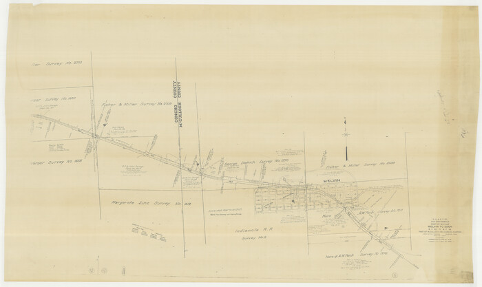
Size: 36.9 x 32.0 inches
61416
G. C. & S. F. Ry., San Saba Branch Right of Way Map, Melvin to Eden
61417.tif
Print $40.00 - Digital $50.00

G. C. & S. F. Ry., San Saba Branch Right of Way Map, Melvin to Eden

1916

Size: 37.6 x 63.1 inches
61417
G. C. & S. F. Ry., San Saba Branch, Texas, Right of Way Map, Hall to Brady
61418.tif
Print $40.00 - Digital $50.00

G. C. & S. F. Ry., San Saba Branch, Texas, Right of Way Map, Hall to Brady

1916

Size: 38.9 x 124.3 inches
61418
G. C. & S. F. Ry., San Saba Branch, Texas, Right of Way Map, Hall to Brady
61419.tif
Print $20.00 - Digital $50.00

G. C. & S. F. Ry., San Saba Branch, Texas, Right of Way Map, Hall to Brady

1916

Size: 36.9 x 34.0 inches
61419
G. C. & S. F. Ry., San Saba Branch, Right of Way Map, Brady to Melvin
61420.tif
Print $40.00 - Digital $50.00

G. C. & S. F. Ry., San Saba Branch, Right of Way Map, Brady to Melvin

1916

Size: 38.2 x 122.0 inches
61420
Railroad and County Map of Texas
10748, Railroad and County Map of Texas, General Map Collection
Print $20.00 - Digital $50.00

Railroad and County Map of Texas

1906

  • Size

    46.0 x 47.6 inches

  • Map/Doc

    10748

  • Creation Date

    1906

Texas Railroad Map
2101, Texas Railroad Map, General Map Collection
Print $20.00 - Digital $50.00

Texas Railroad Map

1981

  • Size

    34.8 x 35.6 inches

  • Map/Doc

    2101

  • Creation Date

    1981

Rand, McNally and Co.'s New Enlarged Scale Railroad and County Map of Texas, Showing Every Railroad Station and Post Office in the State
2135, Rand, McNally and Co.'s New Enlarged Scale Railroad and County Map of Texas, Showing Every Railroad Station and Post Office in the State, General Map Collection
Print $20.00 - Digital $50.00

Rand, McNally and Co.'s New Enlarged Scale Railroad and County Map of Texas, Showing Every Railroad Station and Post Office in the State

1882

  • Size

    23.7 x 29.8 inches

  • Map/Doc

    2135

  • Creation Date

    1882

Railroad and County Map of Texas
2141, Railroad and County Map of Texas, General Map Collection
Print $20.00 - Digital $50.00

Railroad and County Map of Texas

1908

  • Size

    42.7 x 44.7 inches

  • Map/Doc

    2141

  • Creation Date

    1908

Map of the Recognised Line M. EL. P. & P. R. R. from East Line of Bexar Land District to El Paso
2218, Map of the Recognised Line M. EL. P. & P. R. R. from East Line of Bexar Land District to El Paso, General Map Collection
Print $20.00 - Digital $50.00

Map of the Recognised Line M. EL. P. & P. R. R. from East Line of Bexar Land District to El Paso

1857

  • Size

    7.5 x 41.8 inches

  • Map/Doc

    2218

  • Creation Date

    1857

Map of the Lands Surveyed by the Memphis, El Paso & Pacific R.R. Company
2219, Map of the Lands Surveyed by the Memphis, El Paso & Pacific R.R. Company, General Map Collection
Print $20.00 - Digital $50.00

Map of the Lands Surveyed by the Memphis, El Paso & Pacific R.R. Company

1859

  • Size

    15.0 x 30.0 inches

  • Map/Doc

    2219

  • Creation Date

    1859

T&P Ry. from Texarkana to Atlanta
2327, T&P Ry. from Texarkana to Atlanta, General Map Collection
Print $40.00 - Digital $50.00

T&P Ry. from Texarkana to Atlanta

1910

  • Size

    19.8 x 77.4 inches

  • Map/Doc

    2327

  • Creation Date

    1910

The Railroad System of Texas on September 1st, 1887
3036, The Railroad System of Texas on September 1st, 1887, General Map Collection
Print $20.00 - Digital $50.00

The Railroad System of Texas on September 1st, 1887

1887

  • Size

    22.2 x 28.2 inches

  • Map/Doc

    3036

  • Creation Date

    1887

Texas & Pacific Ry Reserve west of the Pecos River
3047, Texas & Pacific Ry Reserve west of the Pecos River, General Map Collection
Print $40.00 - Digital $50.00

Texas & Pacific Ry Reserve west of the Pecos River

1880

  • Size

    43.9 x 90.6 inches

  • Map/Doc

    3047

  • Creation Date

    1880

Map and Profile No. 1 from the Red River to the Rio Grande; from Explorations and surveys made under the direction of the Hon. Jeffeson Davis, Secretary of War
4330, Map and Profile No. 1 from the Red River to the Rio Grande; from Explorations and surveys made under the direction of the Hon. Jeffeson Davis, Secretary of War, General Map Collection
Print $40.00 - Digital $50.00

Map and Profile No. 1 from the Red River to the Rio Grande; from Explorations and surveys made under the direction of the Hon. Jeffeson Davis, Secretary of War

1856

  • Size

    30.5 x 57.0 inches

  • Map/Doc

    4330

  • Creation Date

    1856

Map of the Lands Surveyed by the Memphis, El Paso & Pacific R.R. Company
4844, Map of the Lands Surveyed by the Memphis, El Paso & Pacific R.R. Company, General Map Collection
Print $20.00 - Digital $50.00

Map of the Lands Surveyed by the Memphis, El Paso & Pacific R.R. Company

1859

  • Size

    15.8 x 19.0 inches

  • Map/Doc

    4844

  • Creation Date

    1859

Map of the Lands Surveyed by the Memphis, El Paso & Pacific R.R. Company
4845, Map of the Lands Surveyed by the Memphis, El Paso & Pacific R.R. Company, General Map Collection
Print $20.00 - Digital $50.00

Map of the Lands Surveyed by the Memphis, El Paso & Pacific R.R. Company

1860

  • Size

    16.7 x 24.7 inches

  • Map/Doc

    4845

  • Creation Date

    1860

Map of the Lands Surveyed by the Memphis, El Paso & Pacific R.R. Company
4846, Map of the Lands Surveyed by the Memphis, El Paso & Pacific R.R. Company, General Map Collection
Print $20.00 - Digital $50.00

Map of the Lands Surveyed by the Memphis, El Paso & Pacific R.R. Company

1860

  • Size

    18.6 x 19.0 inches

  • Map/Doc

    4846

  • Creation Date

    1860

Map of the Lands Surveyed by the Memphis, El Paso & Pacific R.R. Company
4847, Map of the Lands Surveyed by the Memphis, El Paso & Pacific R.R. Company, General Map Collection
Print $20.00 - Digital $50.00

Map of the Lands Surveyed by the Memphis, El Paso & Pacific R.R. Company

1859

  • Size

    19.7 x 23.3 inches

  • Map/Doc

    4847

  • Creation Date

    1859

Map of the Lands Surveyed by the Memphis, El Paso & Pacific R.R. Company
4848, Map of the Lands Surveyed by the Memphis, El Paso & Pacific R.R. Company, General Map Collection
Print $20.00 - Digital $50.00

Map of the Lands Surveyed by the Memphis, El Paso & Pacific R.R. Company

1860

  • Size

    20.1 x 20.8 inches

  • Map/Doc

    4848

  • Creation Date

    1860

Map of the Lands Surveyed by the Memphis, El Paso & Pacific R.R. Company
4849, Map of the Lands Surveyed by the Memphis, El Paso & Pacific R.R. Company, General Map Collection
Print $20.00 - Digital $50.00

Map of the Lands Surveyed by the Memphis, El Paso & Pacific R.R. Company

1859

  • Size

    13.9 x 21.3 inches

  • Map/Doc

    4849

  • Creation Date

    1859

Map of the Lands Surveyed by the Memphis, El Paso & Pacific R.R. Company
4850, Map of the Lands Surveyed by the Memphis, El Paso & Pacific R.R. Company, General Map Collection
Print $20.00 - Digital $50.00

Map of the Lands Surveyed by the Memphis, El Paso & Pacific R.R. Company

1859

  • Size

    11.4 x 18.6 inches

  • Map/Doc

    4850

  • Creation Date

    1859

Map of the Lands Surveyed by the Memphis, El Paso & Pacific R.R. Company
4851, Map of the Lands Surveyed by the Memphis, El Paso & Pacific R.R. Company, General Map Collection
Print $20.00 - Digital $50.00

Map of the Lands Surveyed by the Memphis, El Paso & Pacific R.R. Company

1860

  • Size

    17.7 x 21.7 inches

  • Map/Doc

    4851

  • Creation Date

    1860

[List of W.C. RR. Co. Certificates]
60504, [List of W.C. RR. Co. Certificates], General Map Collection
Print $28.00

[List of W.C. RR. Co. Certificates]

1930

  • Size

    14.4 x 8.9 inches

  • Map/Doc

    60504

  • Creation Date

    1930

FT. W. & R. G. Ry. Right of Way Map, Winchell to Brady, McCulloch County, Texas
61410, FT. W. & R. G. Ry. Right of Way Map, Winchell to Brady, McCulloch County, Texas, General Map Collection
Print $40.00 - Digital $50.00

FT. W. & R. G. Ry. Right of Way Map, Winchell to Brady, McCulloch County, Texas

1918

  • Size

    38.0 x 121.9 inches

  • Map/Doc

    61410

  • Creation Date

    1918

[FT. W. & R. G. Ry. Right of Way Map, Winchell to Brady, McCulloch County, Texas]
61411, [FT. W. & R. G. Ry. Right of Way Map, Winchell to Brady, McCulloch County, Texas], General Map Collection
Print $20.00 - Digital $50.00

[FT. W. & R. G. Ry. Right of Way Map, Winchell to Brady, McCulloch County, Texas]

1918

  • Size

    37.0 x 26.9 inches

  • Map/Doc

    61411

  • Creation Date

    1918

FT. W. & R. G. Ry. Right of Way Map, Whiteland to Lightner, Concho County, Texas
61412, FT. W. & R. G. Ry. Right of Way Map, Whiteland to Lightner, Concho County, Texas, General Map Collection
Print $40.00 - Digital $50.00

FT. W. & R. G. Ry. Right of Way Map, Whiteland to Lightner, Concho County, Texas

1918

  • Size

    39.6 x 121.3 inches

  • Map/Doc

    61412

  • Creation Date

    1918

FT. W. & R. G. Ry. Right of Way Map, Whiteland to Lightner, Concho County, Texas
61413, FT. W. & R. G. Ry. Right of Way Map, Whiteland to Lightner, Concho County, Texas, General Map Collection
Print $40.00 - Digital $50.00

FT. W. & R. G. Ry. Right of Way Map, Whiteland to Lightner, Concho County, Texas

1918

  • Size

    37.5 x 68.4 inches

  • Map/Doc

    61413

  • Creation Date

    1918

[FT. W. & R. G. Ry. Right of Way Map, Winchell to Brady, McCulloch County, Texas]
61414, [FT. W. & R. G. Ry. Right of Way Map, Winchell to Brady, McCulloch County, Texas], General Map Collection
Print $40.00 - Digital $50.00

[FT. W. & R. G. Ry. Right of Way Map, Winchell to Brady, McCulloch County, Texas]

1918

  • Size

    38.2 x 122.0 inches

  • Map/Doc

    61414

  • Creation Date

    1918

[FT. W. & R. G. Ry. Right of Way Map, Winchell to Brady, McCulloch County, Texas]
61415, [FT. W. & R. G. Ry. Right of Way Map, Winchell to Brady, McCulloch County, Texas], General Map Collection
Print $40.00 - Digital $50.00

[FT. W. & R. G. Ry. Right of Way Map, Winchell to Brady, McCulloch County, Texas]

1918

  • Size

    38.2 x 122.0 inches

  • Map/Doc

    61415

  • Creation Date

    1918

FT. W. & R. G. Ry. Right of Way Map, Winchell to Brady, McCulloch County, Texas
61416, FT. W. & R. G. Ry. Right of Way Map, Winchell to Brady, McCulloch County, Texas, General Map Collection
Print $20.00 - Digital $50.00

FT. W. & R. G. Ry. Right of Way Map, Winchell to Brady, McCulloch County, Texas

1918

  • Size

    36.9 x 32.0 inches

  • Map/Doc

    61416

  • Creation Date

    1918

G. C. & S. F. Ry., San Saba Branch Right of Way Map, Melvin to Eden
61417, G. C. & S. F. Ry., San Saba Branch Right of Way Map, Melvin to Eden, General Map Collection
Print $40.00 - Digital $50.00

G. C. & S. F. Ry., San Saba Branch Right of Way Map, Melvin to Eden

1916

  • Size

    37.6 x 63.1 inches

  • Map/Doc

    61417

  • Creation Date

    1916

G. C. & S. F. Ry., San Saba Branch, Texas, Right of Way Map, Hall to Brady
61418, G. C. & S. F. Ry., San Saba Branch, Texas, Right of Way Map, Hall to Brady, General Map Collection
Print $40.00 - Digital $50.00

G. C. & S. F. Ry., San Saba Branch, Texas, Right of Way Map, Hall to Brady

1916

  • Size

    38.9 x 124.3 inches

  • Map/Doc

    61418

  • Creation Date

    1916

G. C. & S. F. Ry., San Saba Branch, Texas, Right of Way Map, Hall to Brady
61419, G. C. & S. F. Ry., San Saba Branch, Texas, Right of Way Map, Hall to Brady, General Map Collection
Print $20.00 - Digital $50.00

G. C. & S. F. Ry., San Saba Branch, Texas, Right of Way Map, Hall to Brady

1916

  • Size

    36.9 x 34.0 inches

  • Map/Doc

    61419

  • Creation Date

    1916

G. C. & S. F. Ry., San Saba Branch, Right of Way Map, Brady to Melvin
61420, G. C. & S. F. Ry., San Saba Branch, Right of Way Map, Brady to Melvin, General Map Collection
Print $40.00 - Digital $50.00

G. C. & S. F. Ry., San Saba Branch, Right of Way Map, Brady to Melvin

1916

  • Size

    38.2 x 122.0 inches

  • Map/Doc

    61420

  • Creation Date

    1916