[List of W.C. RR. Co. Certificates]
N-2-43
-
Map/Doc
60504
-
Collection
General Map Collection
-
Object Dates
1930 (Creation Date)
-
Subjects
Railroads
-
Height x Width
14.4 x 8.9 inches
36.6 x 22.6 cm
Part of: General Map Collection
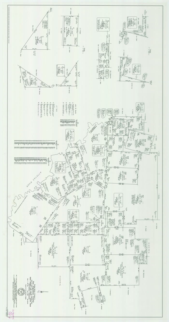
San Augustine County Working Sketch 26

Print $40.00
- Digital $50.00
San Augustine County Working Sketch 26
2008
Size 63.9 x 33.5 inches
Map/Doc 88823
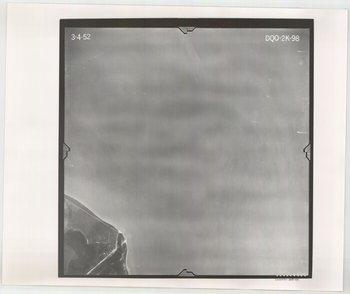
Flight Mission No. DQO-2K, Frame 98, Galveston County

Print $20.00
- Digital $50.00
Flight Mission No. DQO-2K, Frame 98, Galveston County
1952
Size 18.9 x 22.4 inches
Map/Doc 85025
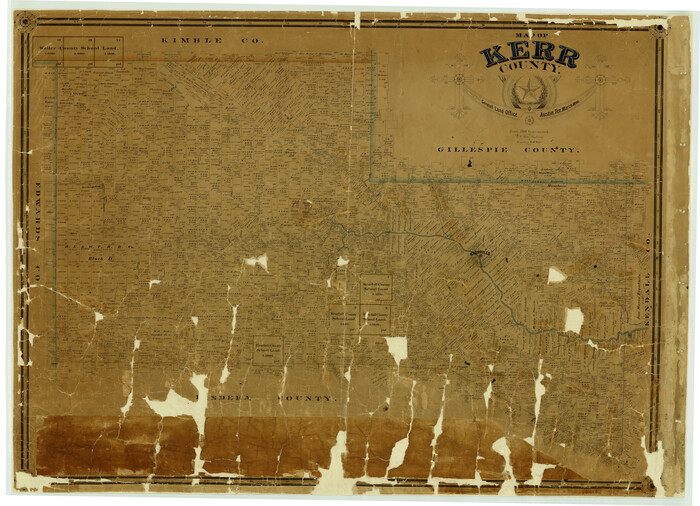
Map of Kerr County

Print $40.00
- Digital $50.00
Map of Kerr County
1895
Size 41.3 x 57.1 inches
Map/Doc 7824
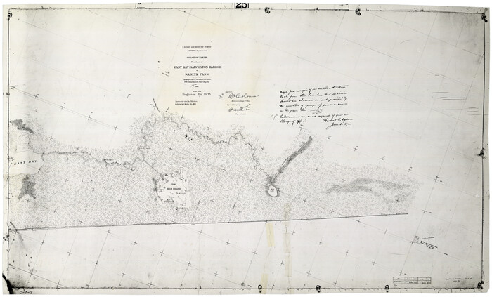
Coast of Texas from head of East Bay Galveston Harbor to Sabine Pass

Print $40.00
- Digital $50.00
Coast of Texas from head of East Bay Galveston Harbor to Sabine Pass
1882
Size 32.6 x 54.1 inches
Map/Doc 69838
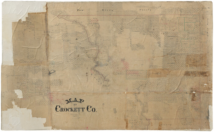
Map of Crockett County

Print $40.00
- Digital $50.00
Map of Crockett County
1878
Size 60.2 x 97.2 inches
Map/Doc 78701
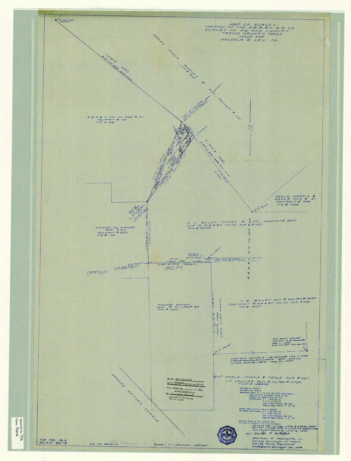
Travis County Sketch File 75A

Print $20.00
- Digital $50.00
Travis County Sketch File 75A
1992
Size 37.9 x 28.8 inches
Map/Doc 12478
Harris County Working Sketch 92


Print $40.00
- Digital $50.00
Harris County Working Sketch 92
1974
Size 31.7 x 55.4 inches
Map/Doc 65984
Duval County Working Sketch 34
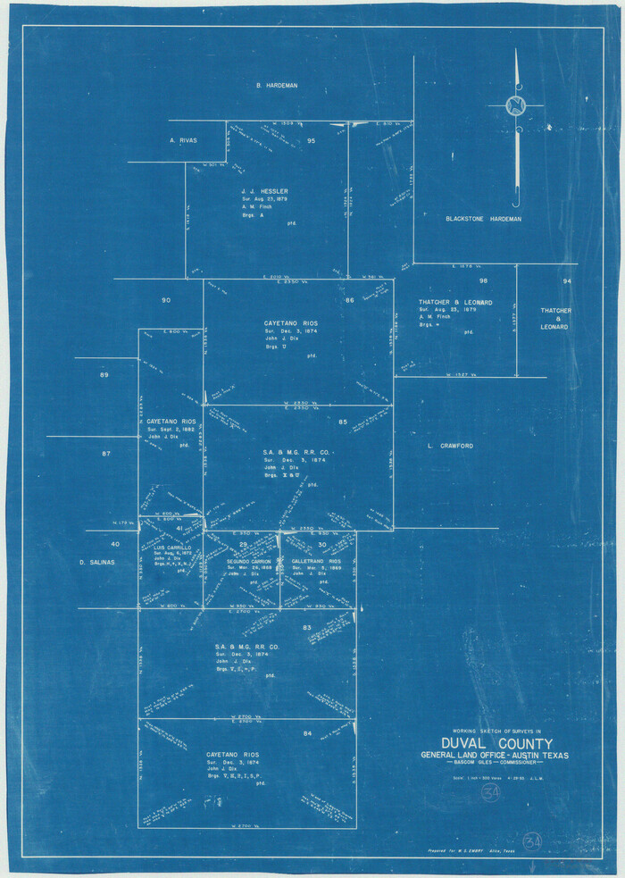

Print $20.00
- Digital $50.00
Duval County Working Sketch 34
1953
Size 35.8 x 25.5 inches
Map/Doc 68758
Erath County Rolled Sketch 7
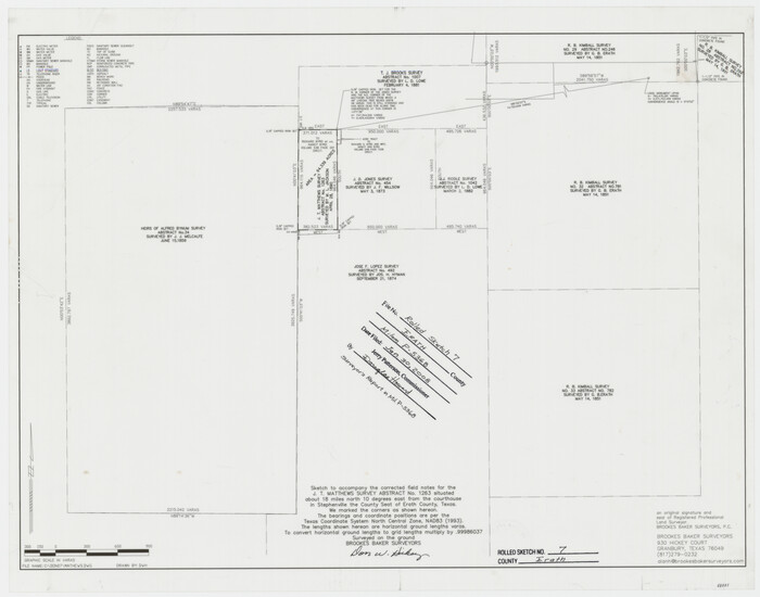

Print $20.00
- Digital $50.00
Erath County Rolled Sketch 7
Size 19.2 x 24.4 inches
Map/Doc 88881
[Sketch of Col. Cooke's Military Road expedition from Red River to Austin]
![82272, [Sketch of Col. Cooke's Military Road expedition from Red River to Austin], General Map Collection](https://historictexasmaps.com/wmedia_w700/maps/82272-1.tif.jpg)
![82272, [Sketch of Col. Cooke's Military Road expedition from Red River to Austin], General Map Collection](https://historictexasmaps.com/wmedia_w700/maps/82272-1.tif.jpg)
Print $40.00
- Digital $50.00
[Sketch of Col. Cooke's Military Road expedition from Red River to Austin]
Size 61.0 x 24.1 inches
Map/Doc 82272
Gray County Sketch File 3
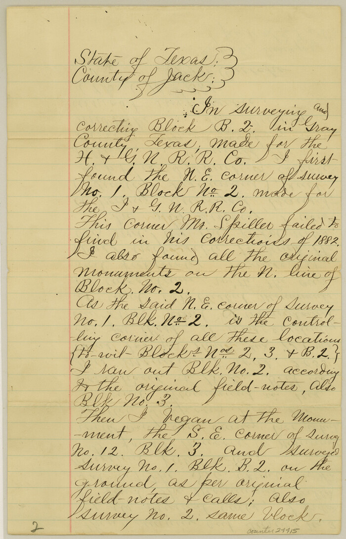

Print $6.00
- Digital $50.00
Gray County Sketch File 3
1885
Size 12.9 x 8.3 inches
Map/Doc 24415
Chart of the West Indies and Spanish Dominions in North America


Print $40.00
- Digital $50.00
Chart of the West Indies and Spanish Dominions in North America
Size 49.1 x 75.6 inches
Map/Doc 97153
You may also like
San Jacinto County Sketch File 17


Print $40.00
San Jacinto County Sketch File 17
1934
Size 60.1 x 26.3 inches
Map/Doc 10598
Mapa de los Estados Unidos de Méjico, Segun lo organizado y definido por las varias actas del Congreso de dicha Republica: y construido por las mejores autoridades
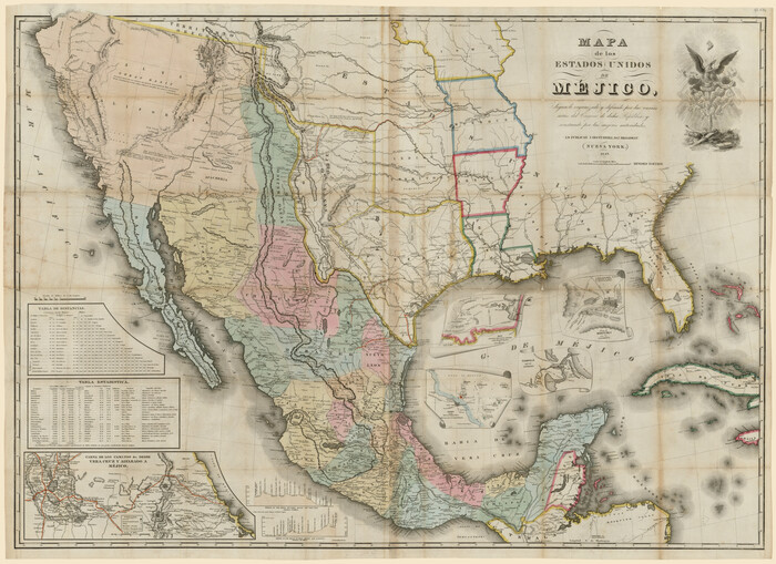

Print $20.00
- Digital $50.00
Mapa de los Estados Unidos de Méjico, Segun lo organizado y definido por las varias actas del Congreso de dicha Republica: y construido por las mejores autoridades
1847
Size 31.2 x 42.9 inches
Map/Doc 93763
Carte d'une partie de L'Amérique Séptentrionale, qui contient partie de la Nle. Espagne, et de la Louisiane
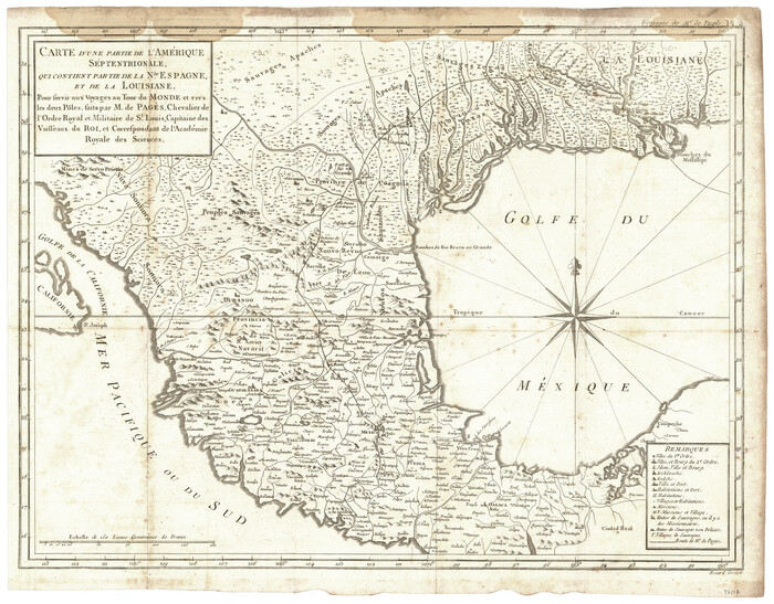

Print $20.00
- Digital $50.00
Carte d'une partie de L'Amérique Séptentrionale, qui contient partie de la Nle. Espagne, et de la Louisiane
1782
Size 14.1 x 18.1 inches
Map/Doc 97118
Lamb County Working Sketch 4


Print $40.00
- Digital $50.00
Lamb County Working Sketch 4
1984
Size 42.9 x 58.0 inches
Map/Doc 70277
Guadalupe County Working Sketch 5


Print $3.00
- Digital $50.00
Guadalupe County Working Sketch 5
1940
Size 15.2 x 10.9 inches
Map/Doc 63314
Complete Report of John H. Clark's Survey of Texas-U. S. Boundary - 1859 through 1862, including maps


Print $323.00
Complete Report of John H. Clark's Survey of Texas-U. S. Boundary - 1859 through 1862, including maps
1882
Map/Doc 81685
Irion County Working Sketch 15
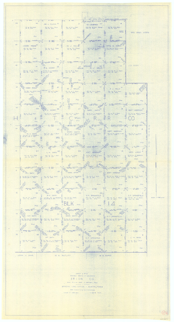

Print $40.00
- Digital $50.00
Irion County Working Sketch 15
1973
Size 58.2 x 31.4 inches
Map/Doc 66424
[Surveys in Austin's Colony along the east side of the Brazos River]
![191, [Surveys in Austin's Colony along the east side of the Brazos River], General Map Collection](https://historictexasmaps.com/wmedia_w700/maps/191-1.tif.jpg)
![191, [Surveys in Austin's Colony along the east side of the Brazos River], General Map Collection](https://historictexasmaps.com/wmedia_w700/maps/191-1.tif.jpg)
Print $20.00
- Digital $50.00
[Surveys in Austin's Colony along the east side of the Brazos River]
1824
Size 26.7 x 8.4 inches
Map/Doc 191
Sketch Terrell and Val Verde Counties


Print $20.00
- Digital $50.00
Sketch Terrell and Val Verde Counties
1932
Size 41.9 x 18.3 inches
Map/Doc 91947
Lynn County Sketch File 15


Print $34.00
- Digital $50.00
Lynn County Sketch File 15
Size 14.2 x 8.7 inches
Map/Doc 30497
![60504, [List of W.C. RR. Co. Certificates], General Map Collection](https://historictexasmaps.com/wmedia_w1800h1800/pdf_converted_jpg/qi_pdf_thumbnail_17018.jpg)
