1150 results

The Buffalo Bayou, Brazos and Colorado Railroad (BBB&C)
97088.tif

The Buffalo Bayou, Brazos and Colorado Railroad (BBB&C)

2022
Size: 8.5 x 11.0 inches
97088
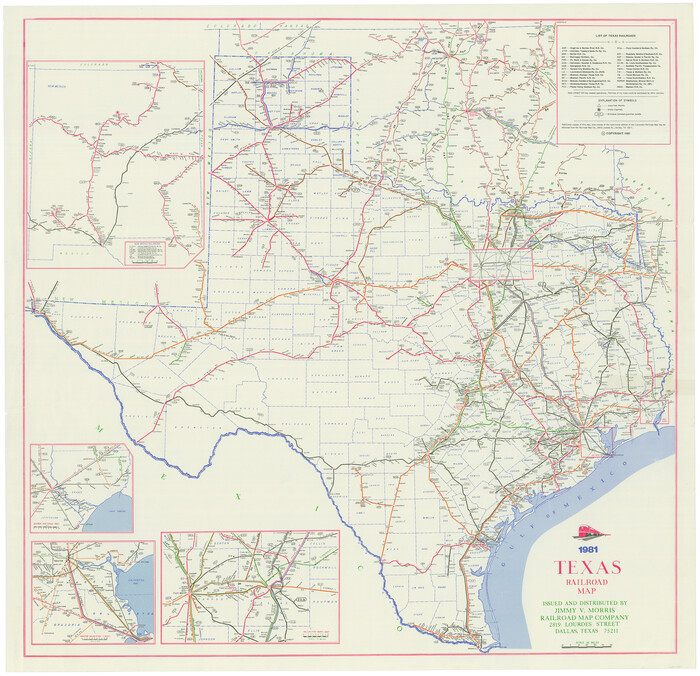
Texas Railroad Map
2101.tif
Print $20.00 - Digital $50.00

Texas Railroad Map

1981

Size: 34.8 x 35.6 inches
2101
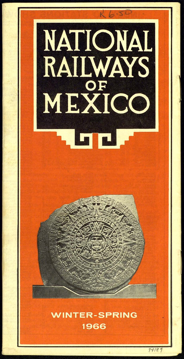
National Railways of Mexico
94189, National Railways of Mexico, General Map Collection
Digital $50.00

National Railways of Mexico

1966

Size: 8.9 x 17.6 inches
94189
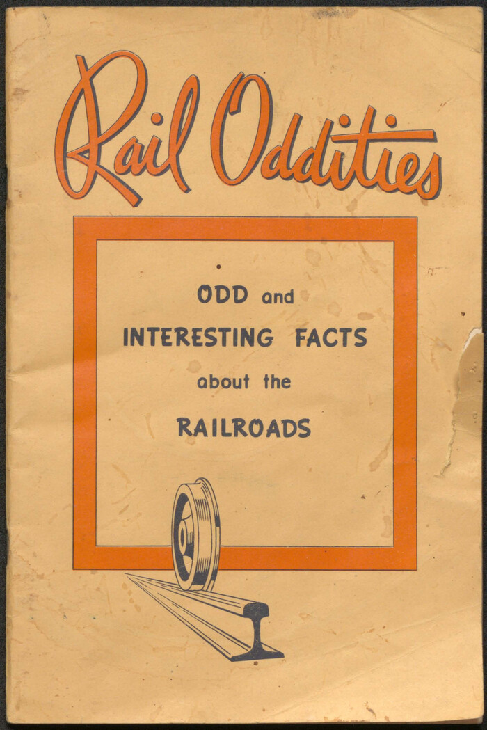
Rail Oddities - Odd and Interesting Facts about the Railroads

Rail Oddities - Odd and Interesting Facts about the Railroads

1954

Size: 9.1 x 6.1 inches
96597
Along the Sunset Route, Southern Pacific Lines - Texas and Louisiana

Along the Sunset Route, Southern Pacific Lines - Texas and Louisiana

1947
96720
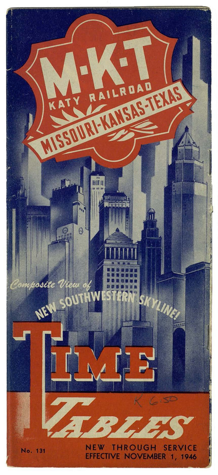
MKT (Missouri Kansas Texas) Katy Railroad Time Tables
93981, MKT (Missouri Kansas Texas) Katy Railroad Time Tables, General Map Collection
Print $54.00 - Digital $50.00

MKT (Missouri Kansas Texas) Katy Railroad Time Tables

1946

Size: 9.3 x 16.4 inches
93981
Right of Way and Track Map, The Wichita Falls & Southern Railway
64512.tif
Print $40.00 - Digital $50.00

Right of Way and Track Map, The Wichita Falls & Southern Railway

1942

Size: 25.0 x 121.0 inches
64512
Right of Way and Track Map, The Wichita Falls & Southern Railway
64513.tif
Print $40.00 - Digital $50.00

Right of Way and Track Map, The Wichita Falls & Southern Railway

1942

Size: 25.5 x 92.5 inches
64513
Right of Way Track Map, Wichita Falls & Southern Railroad Company
64514.tif
Print $40.00 - Digital $50.00

Right of Way Track Map, Wichita Falls & Southern Railroad Company

1942
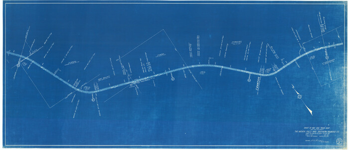
Size: 24.5 x 56.1 inches
64514
Right of Way and Track Map of The Wichita Falls & Southern Railroad Company
64515.tif
Print $40.00 - Digital $50.00

Right of Way and Track Map of The Wichita Falls & Southern Railroad Company

1942
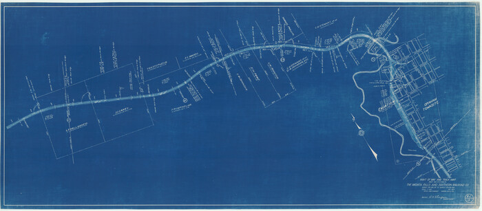
Size: 24.4 x 56.4 inches
64515
Right of Way and Track Map of The Wichita Falls & Southern Railroad Company
64516.tif
Print $40.00 - Digital $50.00

Right of Way and Track Map of The Wichita Falls & Southern Railroad Company

1942

Size: 24.6 x 56.1 inches
64516
Right of Way and Track Map of The Wichita Falls & Southern Railroad Company
64517.tif
Print $40.00 - Digital $50.00

Right of Way and Track Map of The Wichita Falls & Southern Railroad Company

1942
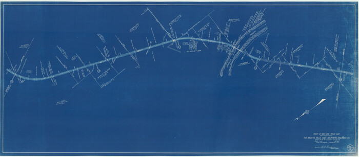
Size: 24.5 x 56.3 inches
64517
Right of Way and Track Map of The Wichita Falls & Southern Railroad Company
64518.tif
Print $40.00 - Digital $50.00

Right of Way and Track Map of The Wichita Falls & Southern Railroad Company

1942
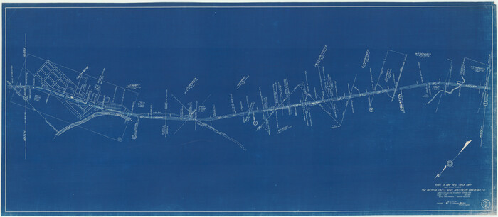
Size: 24.6 x 56.1 inches
64518
Right of Way and Track Map of The Wichita Falls & Southern Railroad Company
64519.tif
Print $40.00 - Digital $50.00

Right of Way and Track Map of The Wichita Falls & Southern Railroad Company

1942
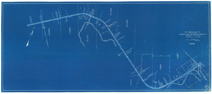
Size: 24.6 x 56.1 inches
64519
Right of Way and Track Map of The Wichita Falls & Southern Railroad Company
64520.tif
Print $40.00 - Digital $50.00

Right of Way and Track Map of The Wichita Falls & Southern Railroad Company

1942

Size: 25.0 x 56.2 inches
64520
Right of Way and Track Map of The Wichita Falls & Southern Railroad Company
64521.tif
Print $40.00 - Digital $50.00

Right of Way and Track Map of The Wichita Falls & Southern Railroad Company

1942

Size: 24.7 x 56.3 inches
64521
Central & Montgomery
64523.tif
Print $40.00 - Digital $50.00

Central & Montgomery

1941

Size: 26.1 x 123.0 inches
64523
Central & Montgomery
64524.tif
Print $20.00 - Digital $50.00

Central & Montgomery

1941

Size: 24.9 x 24.2 inches
64524
Central & Montgomery
64522-1.tif
Print $40.00 - Digital $50.00

Central & Montgomery

1941

Size: 25.6 x 122.2 inches
64522
The Lower Rio Grande Valley of Texas

The Lower Rio Grande Valley of Texas

1940

96747
The Texas Gulf Coast

The Texas Gulf Coast

1940

Size: 9.4 x 4.2 inches
97066
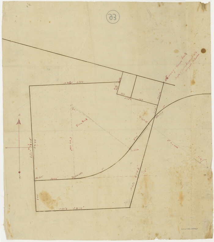
[Houston & Texas Central Ry.]
64363.tif
Print $20.00 - Digital $50.00

[Houston & Texas Central Ry.]

1939

Size: 15.5 x 13.8 inches
64363
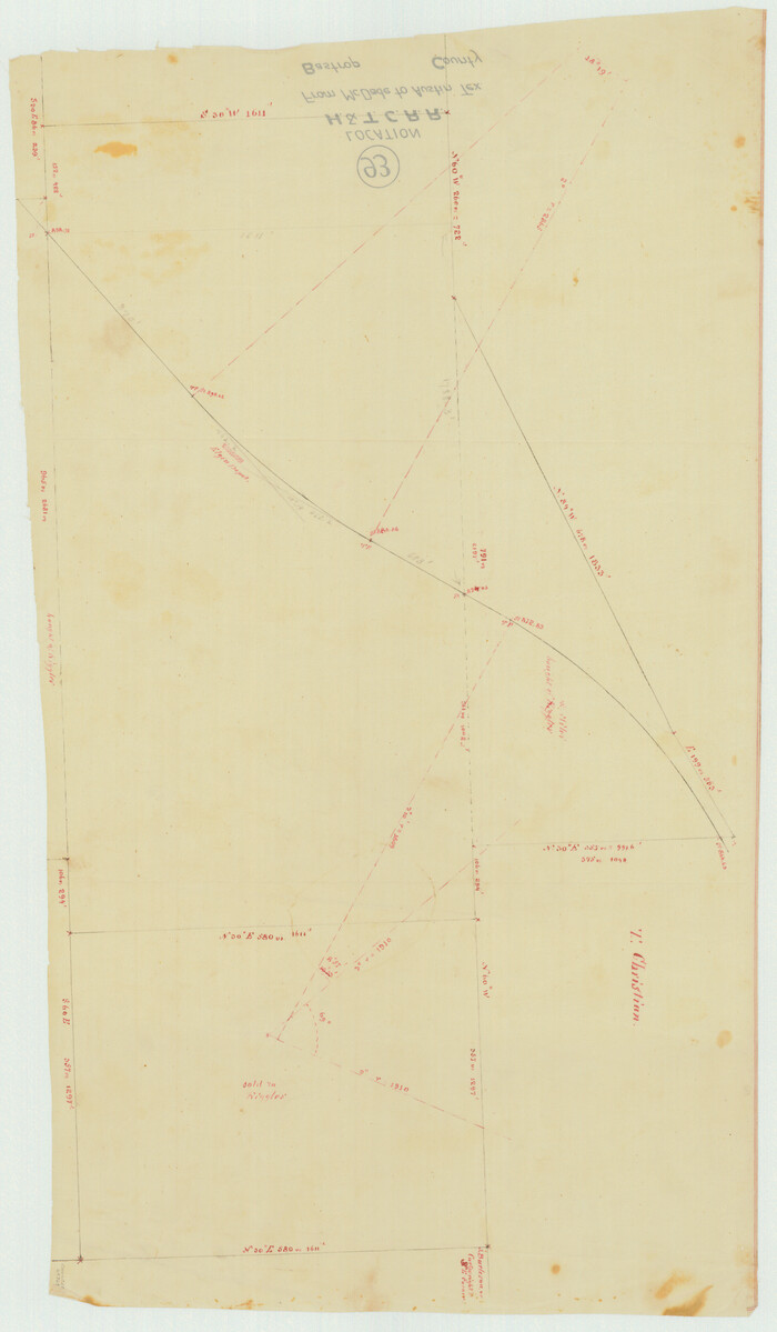
Bastrop County, From McDade to Austin, Texas, Houston & Texas Central Railroad
64364.tif
Print $20.00 - Digital $50.00

Bastrop County, From McDade to Austin, Texas, Houston & Texas Central Railroad

1939

Size: 26.6 x 15.5 inches
64364
Texas - the Land of Plenty and Promise where the People Combine the Culture of the East with the Vision of the West and the Energy of the North with the Hospitality of the South
96596.tif
Print $20.00 - Digital $50.00

Texas - the Land of Plenty and Promise where the People Combine the Culture of the East with the Vision of the West and the Energy of the North with the Hospitality of the South

1937
Size: 7.2 x 10.5 inches
96596
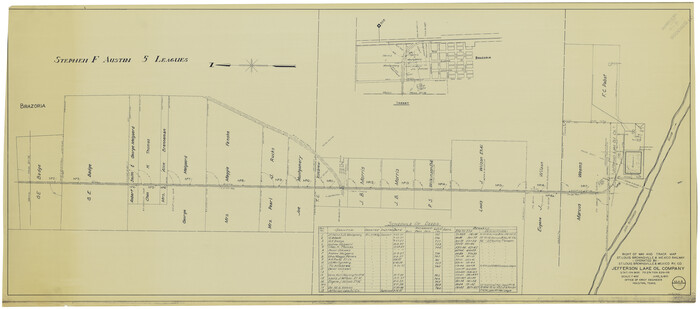
Right of Way and Track Map, St. Louis, Brownsville & Mexico Railway operated by St. Louis Brownsville & Mexico Ry. Co., Jefferson Lake Oil Company
64612-1.tif
Print $40.00 - Digital $50.00

Right of Way and Track Map, St. Louis, Brownsville & Mexico Railway operated by St. Louis Brownsville & Mexico Ry. Co., Jefferson Lake Oil Company

1937

Size: 25.3 x 57.1 inches
64612
G. C. & S. F. Ry. Northern-Division, Alignment and Right of Way Map, Weatherford Branch, Johnson and Hood Counties, Texas
64647-GC.tif
Print $40.00 - Digital $50.00

G. C. & S. F. Ry. Northern-Division, Alignment and Right of Way Map, Weatherford Branch, Johnson and Hood Counties, Texas

1935

Size: 37.2 x 121.7 inches
64647
[G. C. & S. F. Ry. Northern-Division, Alignment and Right of Way Map, Weatherford Branch, Johnson and Hood Counties, Texas]
64648.tif
Print $40.00 - Digital $50.00

[G. C. & S. F. Ry. Northern-Division, Alignment and Right of Way Map, Weatherford Branch, Johnson and Hood Counties, Texas]

1935

Size: 37.4 x 120.9 inches
64648
G. C. & S. F. Ry. Northern-Division, Alignment and Right of Way Map, Weatherford Branch, Johnson and Hood Counties, Texas
64649.tif
Print $40.00 - Digital $50.00

G. C. & S. F. Ry. Northern-Division, Alignment and Right of Way Map, Weatherford Branch, Johnson and Hood Counties, Texas

1935

Size: 37.8 x 100.5 inches
64649
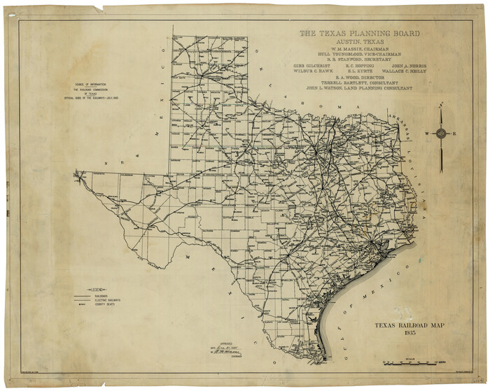
Texas Railroad Map
76308.tif
Print $20.00

Texas Railroad Map

1935

Size: 18.4 x 23.1 inches
76308
Railroad Map of Texas
79761.tif
Print $20.00

Railroad Map of Texas

1932

Size: 42.4 x 45.6 inches
79761
The Buffalo Bayou, Brazos and Colorado Railroad (BBB&C)
97088, The Buffalo Bayou, Brazos and Colorado Railroad, 1850-1868, General Map Collection

The Buffalo Bayou, Brazos and Colorado Railroad (BBB&C)

2022

  • Size

    8.5 x 11.0 inches

  • Map/Doc

    97088

  • Creation Date

    2022

Texas Railroad Map
2101, Texas Railroad Map, General Map Collection
Print $20.00 - Digital $50.00

Texas Railroad Map

1981

  • Size

    34.8 x 35.6 inches

  • Map/Doc

    2101

  • Creation Date

    1981

National Railways of Mexico
94189, National Railways of Mexico, General Map Collection
Digital $50.00

National Railways of Mexico

1966

  • Size

    8.9 x 17.6 inches

  • Map/Doc

    94189

  • Creation Date

    1966

Rail Oddities - Odd and Interesting Facts about the Railroads

Rail Oddities - Odd and Interesting Facts about the Railroads

1954

  • Size

    9.1 x 6.1 inches

  • Map/Doc

    96597

  • Creation Date

    1954

Along the Sunset Route, Southern Pacific Lines - Texas and Louisiana
Print $52.00

Along the Sunset Route, Southern Pacific Lines - Texas and Louisiana

1947

  • Map/Doc

    96720

  • Creation Date

    1947

MKT (Missouri Kansas Texas) Katy Railroad Time Tables
93981, MKT (Missouri Kansas Texas) Katy Railroad Time Tables, General Map Collection
Print $54.00 - Digital $50.00

MKT (Missouri Kansas Texas) Katy Railroad Time Tables

1946

  • Size

    9.3 x 16.4 inches

  • Map/Doc

    93981

  • Creation Date

    1946

Right of Way and Track Map, The Wichita Falls & Southern Railway
64512, Right of Way and Track Map, The Wichita Falls & Southern Railway, General Map Collection
Print $40.00 - Digital $50.00

Right of Way and Track Map, The Wichita Falls & Southern Railway

1942

  • Size

    25.0 x 121.0 inches

  • Map/Doc

    64512

  • Creation Date

    1942

Right of Way and Track Map, The Wichita Falls & Southern Railway
64513, Right of Way and Track Map, The Wichita Falls & Southern Railway, General Map Collection
Print $40.00 - Digital $50.00

Right of Way and Track Map, The Wichita Falls & Southern Railway

1942

  • Size

    25.5 x 92.5 inches

  • Map/Doc

    64513

  • Creation Date

    1942

Right of Way Track Map, Wichita Falls & Southern Railroad Company
64514, Right of Way Track Map, Wichita Falls & Southern Railroad Company, General Map Collection
Print $40.00 - Digital $50.00

Right of Way Track Map, Wichita Falls & Southern Railroad Company

1942

  • Size

    24.5 x 56.1 inches

  • Map/Doc

    64514

  • Creation Date

    1942

Right of Way and Track Map of The Wichita Falls & Southern Railroad Company
64515, Right of Way and Track Map of The Wichita Falls & Southern Railroad Company, General Map Collection
Print $40.00 - Digital $50.00

Right of Way and Track Map of The Wichita Falls & Southern Railroad Company

1942

  • Size

    24.4 x 56.4 inches

  • Map/Doc

    64515

  • Creation Date

    1942

Right of Way and Track Map of The Wichita Falls & Southern Railroad Company
64516, Right of Way and Track Map of The Wichita Falls & Southern Railroad Company, General Map Collection
Print $40.00 - Digital $50.00

Right of Way and Track Map of The Wichita Falls & Southern Railroad Company

1942

  • Size

    24.6 x 56.1 inches

  • Map/Doc

    64516

  • Creation Date

    1942

Right of Way and Track Map of The Wichita Falls & Southern Railroad Company
64517, Right of Way and Track Map of The Wichita Falls & Southern Railroad Company, General Map Collection
Print $40.00 - Digital $50.00

Right of Way and Track Map of The Wichita Falls & Southern Railroad Company

1942

  • Size

    24.5 x 56.3 inches

  • Map/Doc

    64517

  • Creation Date

    1942

Right of Way and Track Map of The Wichita Falls & Southern Railroad Company
64518, Right of Way and Track Map of The Wichita Falls & Southern Railroad Company, General Map Collection
Print $40.00 - Digital $50.00

Right of Way and Track Map of The Wichita Falls & Southern Railroad Company

1942

  • Size

    24.6 x 56.1 inches

  • Map/Doc

    64518

  • Creation Date

    1942

Right of Way and Track Map of The Wichita Falls & Southern Railroad Company
64519, Right of Way and Track Map of The Wichita Falls & Southern Railroad Company, General Map Collection
Print $40.00 - Digital $50.00

Right of Way and Track Map of The Wichita Falls & Southern Railroad Company

1942

  • Size

    24.6 x 56.1 inches

  • Map/Doc

    64519

  • Creation Date

    1942

Right of Way and Track Map of The Wichita Falls & Southern Railroad Company
64520, Right of Way and Track Map of The Wichita Falls & Southern Railroad Company, General Map Collection
Print $40.00 - Digital $50.00

Right of Way and Track Map of The Wichita Falls & Southern Railroad Company

1942

  • Size

    25.0 x 56.2 inches

  • Map/Doc

    64520

  • Creation Date

    1942

Right of Way and Track Map of The Wichita Falls & Southern Railroad Company
64521, Right of Way and Track Map of The Wichita Falls & Southern Railroad Company, General Map Collection
Print $40.00 - Digital $50.00

Right of Way and Track Map of The Wichita Falls & Southern Railroad Company

1942

  • Size

    24.7 x 56.3 inches

  • Map/Doc

    64521

  • Creation Date

    1942

Central & Montgomery
64523, Central & Montgomery, General Map Collection
Print $40.00 - Digital $50.00

Central & Montgomery

1941

  • Size

    26.1 x 123.0 inches

  • Map/Doc

    64523

  • Creation Date

    1941

Central & Montgomery
64524, Central & Montgomery, General Map Collection
Print $20.00 - Digital $50.00

Central & Montgomery

1941

  • Size

    24.9 x 24.2 inches

  • Map/Doc

    64524

  • Creation Date

    1941

Central & Montgomery
64522, Central & Montgomery, General Map Collection
Print $40.00 - Digital $50.00

Central & Montgomery

1941

  • Size

    25.6 x 122.2 inches

  • Map/Doc

    64522

  • Creation Date

    1941

The Lower Rio Grande Valley of Texas
Print $18.00

The Lower Rio Grande Valley of Texas

1940

  • Map/Doc

    96747

  • Creation Date

    1940

The Texas Gulf Coast

The Texas Gulf Coast

1940

  • Size

    9.4 x 4.2 inches

  • Map/Doc

    97066

  • Creation Date

    1940

[Houston & Texas Central Ry.]
64363, [Houston & Texas Central Ry.], General Map Collection
Print $20.00 - Digital $50.00

[Houston & Texas Central Ry.]

1939

  • Size

    15.5 x 13.8 inches

  • Map/Doc

    64363

  • Creation Date

    1939

Bastrop County, From McDade to Austin, Texas, Houston & Texas Central Railroad
64364, Bastrop County, From McDade to Austin, Texas, Houston & Texas Central Railroad, General Map Collection
Print $20.00 - Digital $50.00

Bastrop County, From McDade to Austin, Texas, Houston & Texas Central Railroad

1939

  • Size

    26.6 x 15.5 inches

  • Map/Doc

    64364

  • Creation Date

    1939

Texas - the Land of Plenty and Promise where the People Combine the Culture of the East with the Vision of the West and the Energy of the North with the Hospitality of the South
96596, Texas - the Land of Plenty and Promise where the People Combine the Culture of the East with the Vision of the West and the Energy of the North with the Hospitality of the South, Cobb Digital Map Collection - 1
Print $20.00 - Digital $50.00

Texas - the Land of Plenty and Promise where the People Combine the Culture of the East with the Vision of the West and the Energy of the North with the Hospitality of the South

1937

  • Size

    7.2 x 10.5 inches

  • Map/Doc

    96596

  • Creation Date

    1937

Right of Way and Track Map, St. Louis, Brownsville & Mexico Railway operated by St. Louis Brownsville & Mexico Ry. Co., Jefferson Lake Oil Company
64612, Right of Way and Track Map, St. Louis, Brownsville & Mexico Railway operated by St. Louis Brownsville & Mexico Ry. Co., Jefferson Lake Oil Company, General Map Collection
Print $40.00 - Digital $50.00

Right of Way and Track Map, St. Louis, Brownsville & Mexico Railway operated by St. Louis Brownsville & Mexico Ry. Co., Jefferson Lake Oil Company

1937

  • Size

    25.3 x 57.1 inches

  • Map/Doc

    64612

  • Creation Date

    1937

G. C. & S. F. Ry. Northern-Division, Alignment and Right of Way Map, Weatherford Branch, Johnson and Hood Counties, Texas
64647, G. C. & S. F. Ry. Northern-Division, Alignment and Right of Way Map, Weatherford Branch, Johnson and Hood Counties, Texas, General Map Collection
Print $40.00 - Digital $50.00

G. C. & S. F. Ry. Northern-Division, Alignment and Right of Way Map, Weatherford Branch, Johnson and Hood Counties, Texas

1935

  • Size

    37.2 x 121.7 inches

  • Map/Doc

    64647

  • Creation Date

    1935

[G. C. & S. F. Ry. Northern-Division, Alignment and Right of Way Map, Weatherford Branch, Johnson and Hood Counties, Texas]
64648, [G. C. & S. F. Ry. Northern-Division, Alignment and Right of Way Map, Weatherford Branch, Johnson and Hood Counties, Texas], General Map Collection
Print $40.00 - Digital $50.00

[G. C. & S. F. Ry. Northern-Division, Alignment and Right of Way Map, Weatherford Branch, Johnson and Hood Counties, Texas]

1935

  • Size

    37.4 x 120.9 inches

  • Map/Doc

    64648

  • Creation Date

    1935

G. C. & S. F. Ry. Northern-Division, Alignment and Right of Way Map, Weatherford Branch, Johnson and Hood Counties, Texas
64649, G. C. & S. F. Ry. Northern-Division, Alignment and Right of Way Map, Weatherford Branch, Johnson and Hood Counties, Texas, General Map Collection
Print $40.00 - Digital $50.00

G. C. & S. F. Ry. Northern-Division, Alignment and Right of Way Map, Weatherford Branch, Johnson and Hood Counties, Texas

1935

  • Size

    37.8 x 100.5 inches

  • Map/Doc

    64649

  • Creation Date

    1935

Texas Railroad Map
76308, Texas Railroad Map, Texas State Library and Archives
Print $20.00

Texas Railroad Map

1935

  • Size

    18.4 x 23.1 inches

  • Map/Doc

    76308

  • Creation Date

    1935

Railroad Map of Texas
79761, Railroad Map of Texas, Texas State Library and Archives
Print $20.00

Railroad Map of Texas

1932

  • Size

    42.4 x 45.6 inches

  • Map/Doc

    79761

  • Creation Date

    1932