"Iron Mountain Route" to all parts of Texas - I. & G. N., T. & P., Iron Mountain - "The Way to Texas"
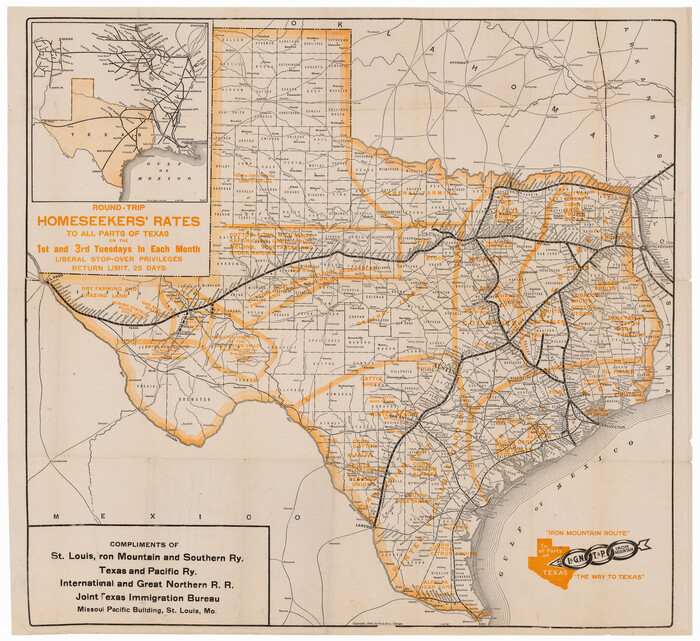

Print $20.00
- Digital $50.00
"Iron Mountain Route" to all parts of Texas - I. & G. N., T. & P., Iron Mountain - "The Way to Texas"
1909
Size: 22.0 x 24.0 inches
95792
"Iron Mountain Route" to all parts of Texas - I. & G. N., T. & P., Iron Mountain - "The Way to Texas"


Print $20.00
- Digital $50.00
"Iron Mountain Route" to all parts of Texas - I. & G. N., T. & P., Iron Mountain - "The Way to Texas"
1909
Size: 21.8 x 24.0 inches
95793
"Texas New Yorker's" Railroad Map of Texas


Print $20.00
"Texas New Yorker's" Railroad Map of Texas
1874
Size: 22.8 x 32.3 inches
76210
A Camera Journey through the Lower Valley of the Rio Grande - the Garden of Golden Grapefruit


A Camera Journey through the Lower Valley of the Rio Grande - the Garden of Golden Grapefruit
1929
96744
A Few Things About Rice as grown along the line of the Sunset Route in Louisiana and Texas
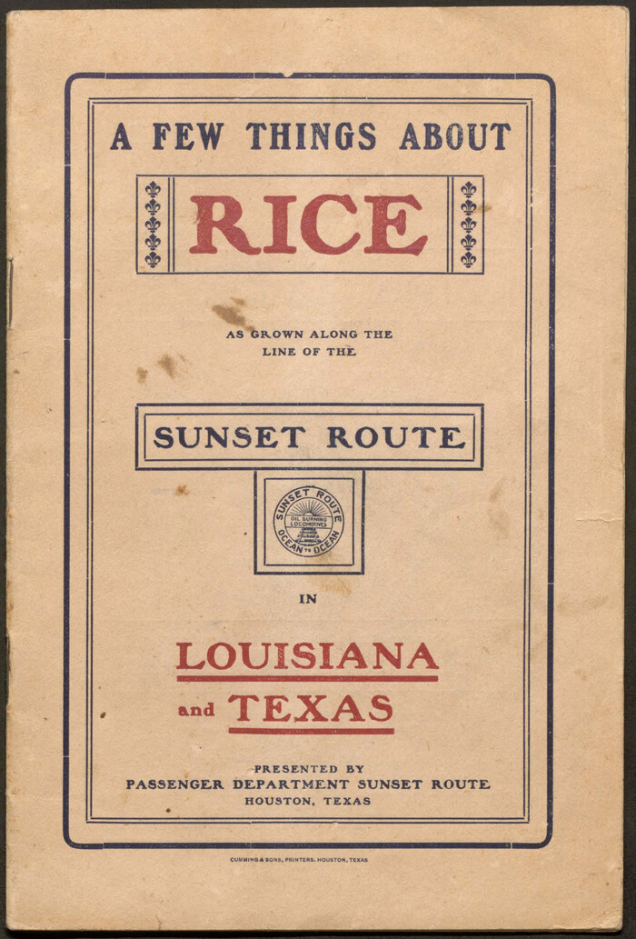

A Few Things About Rice as grown along the line of the Sunset Route in Louisiana and Texas
1904
96724
A Few Things About Rice as grown on line of Southern Pacific in Texas and Louisiana
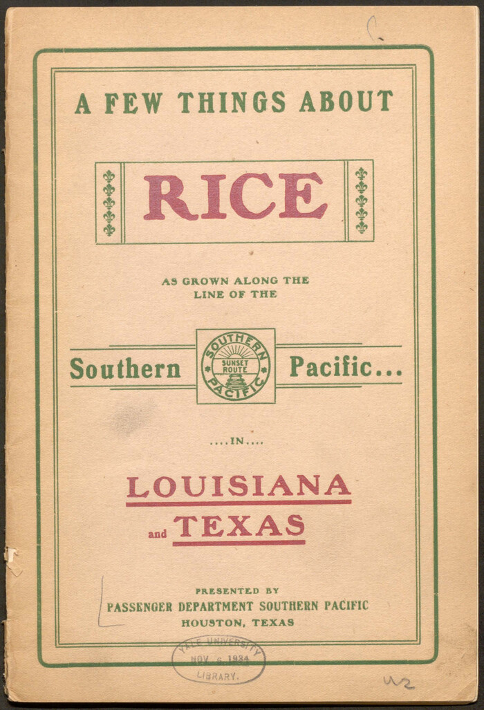

A Few Things About Rice as grown on line of Southern Pacific in Texas and Louisiana
1904
96723
A Fourteen Day Trip for $99.50 through the Great Southwest and the Gulf Coast Country of Texas
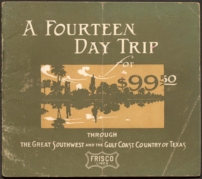

A Fourteen Day Trip for $99.50 through the Great Southwest and the Gulf Coast Country of Texas
1912
96772
A Geographically Correct County Map of States Traversed by the St. Louis, Iron Mountain & Southern Railway and its Connections
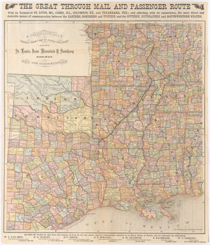

Print $20.00
- Digital $50.00
A Geographically Correct County Map of States Traversed by the St. Louis, Iron Mountain & Southern Railway and its Connections
1876
Size: 18.6 x 15.9 inches
95781
A Geographically Correct County Map of States Traversed by the St. Louis, Iron Mountain & Southern Railway and its Connections


Print $20.00
- Digital $50.00
A Geographically Correct County Map of States Traversed by the St. Louis, Iron Mountain & Southern Railway and its Connections
1877
Size: 18.5 x 16.1 inches
95782
A Geographically Correct County Map of States Traversed by the St. Louis, Iron Mountain and Southern Railway and its connections


Print $20.00
- Digital $50.00
A Geographically Correct County Map of States Traversed by the St. Louis, Iron Mountain and Southern Railway and its connections
1878
Size: 16.9 x 27.0 inches
95785
A Geographically Correct Map of the State of Texas


Print $20.00
- Digital $50.00
A Geographically Correct Map of the State of Texas
1878
Size: 19.5 x 21.0 inches
95757
A Geographically Correct Map of the State of Texas
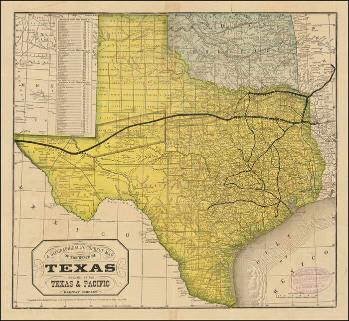

Print $20.00
- Digital $50.00
A Geographically Correct Map of the State of Texas
1876
Size: 19.6 x 21.4 inches
96508
A Little Journey through the Lower Valley of the Rio Grande - The Magic Valley of Texas

A Little Journey through the Lower Valley of the Rio Grande - The Magic Valley of Texas
1928
96741
A Little Journey through the Lower Valley of the Rio Grande - The Magic Valley of Texas

A Little Journey through the Lower Valley of the Rio Grande - The Magic Valley of Texas
1929
96742
A New and Correct County Map of the State of Texas


Print $20.00
- Digital $50.00
A New and Correct County Map of the State of Texas
1891
Size: 22.4 x 27.3 inches
95760
A Splendid Endorsement of the Red River Valley Lands in the Famous Red River Valley of North Texas


Print $20.00
- Digital $50.00
A Splendid Endorsement of the Red River Valley Lands in the Famous Red River Valley of North Texas
1901
Size: 10.2 x 12.7 inches
96601
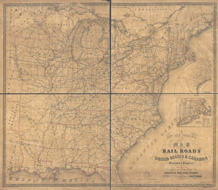
A new and complete county map of all the rail roads in the United States & Canadas in operation & progress.

Print $20.00
A new and complete county map of all the rail roads in the United States & Canadas in operation & progress.
1857
Size: 19.3 x 22.0 inches
93606
A new map for travellers through the United States of America showing the railroads, canals & stageroads with the distances


Print $20.00
- Digital $50.00
A new map for travellers through the United States of America showing the railroads, canals & stageroads with the distances
1846
Size: 22.4 x 27.9 inches
95921
Along the Sunset Route, Southern Pacific Lines - Texas and Louisiana


Along the Sunset Route, Southern Pacific Lines - Texas and Louisiana
1947
96720
Appletons' Railway Map of the Southern States, to accompany Appletons' Hand-book of American Travel, Southern Tour


Print $20.00
- Digital $50.00
Appletons' Railway Map of the Southern States, to accompany Appletons' Hand-book of American Travel, Southern Tour
1887
Size: 15.6 x 24.3 inches
95904
Atascosa County Rolled Sketch 22


Print $40.00
- Digital $50.00
Atascosa County Rolled Sketch 22
1917
Size: 26.3 x 57.2 inches
8434
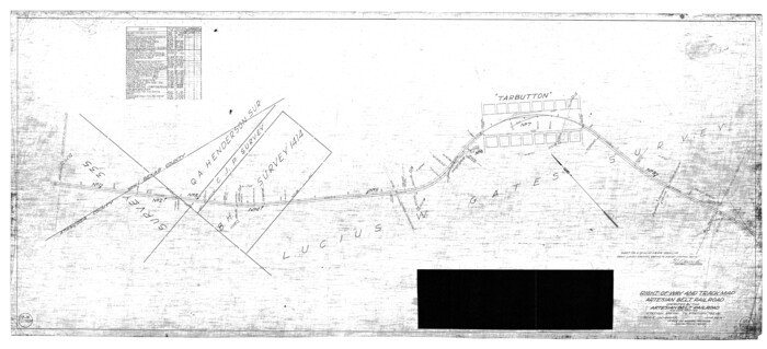
Atascosa County Rolled Sketch 22

Print $40.00
- Digital $50.00
Atascosa County Rolled Sketch 22
1917
Size: 26.1 x 57.2 inches
8918
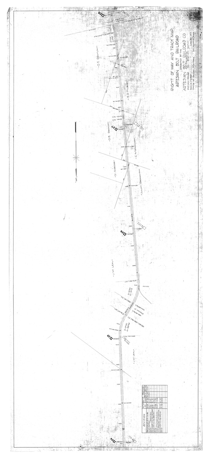
Atascosa County Rolled Sketch 22

Print $40.00
- Digital $50.00
Atascosa County Rolled Sketch 22
1917
Size: 57.8 x 27.1 inches
8919
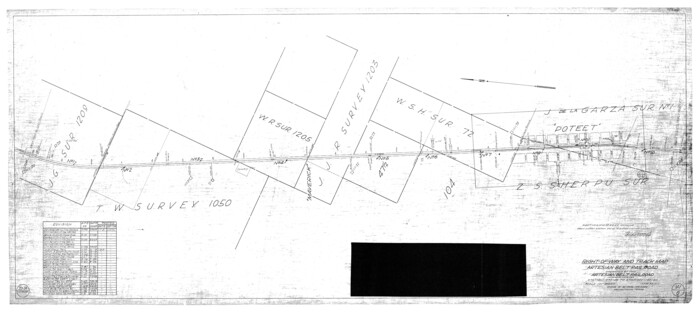
Atascosa County Rolled Sketch 22

Print $40.00
- Digital $50.00
Atascosa County Rolled Sketch 22
1917
Size: 25.9 x 57.4 inches
8920
Atascosa County Rolled Sketch 22
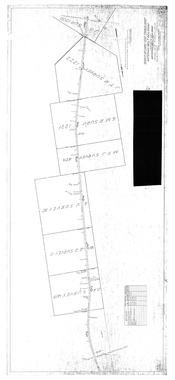

Print $40.00
- Digital $50.00
Atascosa County Rolled Sketch 22
1917
Size: 57.5 x 26.5 inches
8921
Atascosa County Rolled Sketch 22


Print $40.00
- Digital $50.00
Atascosa County Rolled Sketch 22
1917
Size: 26.5 x 57.2 inches
8922
Bastrop County, From McDade to Austin, Texas, Houston & Texas Central Railroad
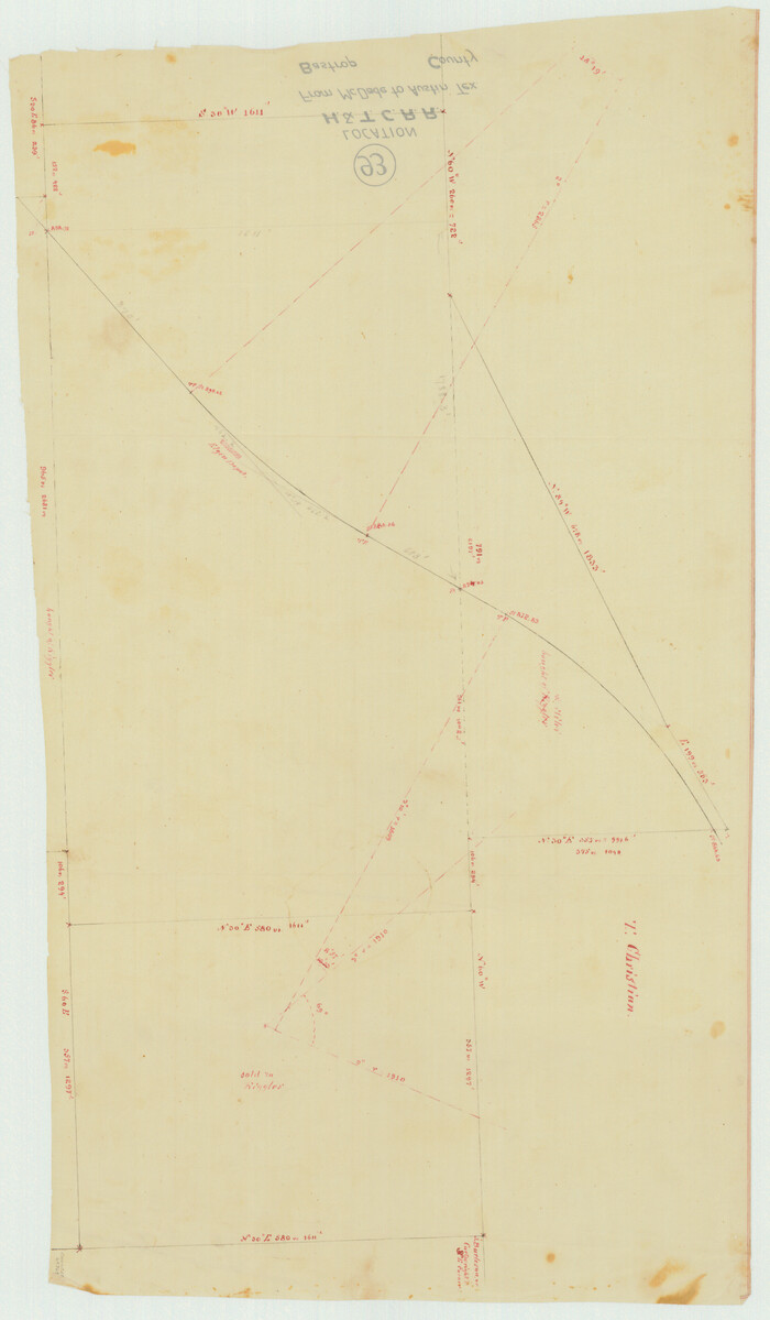

Print $20.00
- Digital $50.00
Bastrop County, From McDade to Austin, Texas, Houston & Texas Central Railroad
1939
Size: 26.6 x 15.5 inches
64364
Beaumont, Sour Lake and Western Ry. Right of Way and Alignment - Frisco

Print $20.00
- Digital $50.00
Beaumont, Sour Lake and Western Ry. Right of Way and Alignment - Frisco
1910
Size: 21.1 x 47.3 inches
64105
Bien & Sterner's New Rail Road Map of the United States and the Canadas compiled from the latest surveys & locations under the direction of Zerah Colburn Esq., editor of the Rail Road Advocate


Print $20.00
- Digital $50.00
Bien & Sterner's New Rail Road Map of the United States and the Canadas compiled from the latest surveys & locations under the direction of Zerah Colburn Esq., editor of the Rail Road Advocate
1855
Size: 27.5 x 32.3 inches
95963
"Iron Mountain Route" to all parts of Texas - I. & G. N., T. & P., Iron Mountain - "The Way to Texas"


Print $20.00
- Digital $50.00
"Iron Mountain Route" to all parts of Texas - I. & G. N., T. & P., Iron Mountain - "The Way to Texas"
1909
-
Size
22.0 x 24.0 inches
-
Map/Doc
95792
-
Creation Date
1909
"Iron Mountain Route" to all parts of Texas - I. & G. N., T. & P., Iron Mountain - "The Way to Texas"


Print $20.00
- Digital $50.00
"Iron Mountain Route" to all parts of Texas - I. & G. N., T. & P., Iron Mountain - "The Way to Texas"
1909
-
Size
21.8 x 24.0 inches
-
Map/Doc
95793
-
Creation Date
1909
"Land of Hearts Delight"


Print $30.00
"Land of Hearts Delight"
1920
-
Map/Doc
96731
-
Creation Date
1920
"Texas New Yorker's" Railroad Map of Texas


Print $20.00
"Texas New Yorker's" Railroad Map of Texas
1874
-
Size
22.8 x 32.3 inches
-
Map/Doc
76210
-
Creation Date
1874
A Camera Journey through the Lower Valley of the Rio Grande - the Garden of Golden Grapefruit


Print $54.00
A Camera Journey through the Lower Valley of the Rio Grande - the Garden of Golden Grapefruit
1929
-
Map/Doc
96744
-
Creation Date
1929
A Few Things About Rice as grown along the line of the Sunset Route in Louisiana and Texas


Print $30.00
A Few Things About Rice as grown along the line of the Sunset Route in Louisiana and Texas
1904
-
Map/Doc
96724
-
Creation Date
1904
A Few Things About Rice as grown on line of Southern Pacific in Texas and Louisiana


Print $34.00
A Few Things About Rice as grown on line of Southern Pacific in Texas and Louisiana
1904
-
Map/Doc
96723
-
Creation Date
1904
A Fourteen Day Trip for $99.50 through the Great Southwest and the Gulf Coast Country of Texas


Print $30.00
A Fourteen Day Trip for $99.50 through the Great Southwest and the Gulf Coast Country of Texas
1912
-
Map/Doc
96772
-
Creation Date
1912
A Geographically Correct County Map of States Traversed by the St. Louis, Iron Mountain & Southern Railway and its Connections


Print $20.00
- Digital $50.00
A Geographically Correct County Map of States Traversed by the St. Louis, Iron Mountain & Southern Railway and its Connections
1876
-
Size
18.6 x 15.9 inches
-
Map/Doc
95781
-
Creation Date
1876
A Geographically Correct County Map of States Traversed by the St. Louis, Iron Mountain & Southern Railway and its Connections


Print $20.00
- Digital $50.00
A Geographically Correct County Map of States Traversed by the St. Louis, Iron Mountain & Southern Railway and its Connections
1877
-
Size
18.5 x 16.1 inches
-
Map/Doc
95782
-
Creation Date
1877
A Geographically Correct County Map of States Traversed by the St. Louis, Iron Mountain and Southern Railway and its connections


Print $20.00
- Digital $50.00
A Geographically Correct County Map of States Traversed by the St. Louis, Iron Mountain and Southern Railway and its connections
1878
-
Size
16.9 x 27.0 inches
-
Map/Doc
95785
-
Creation Date
1878
A Geographically Correct Map of the State of Texas


Print $20.00
- Digital $50.00
A Geographically Correct Map of the State of Texas
1878
-
Size
19.5 x 21.0 inches
-
Map/Doc
95757
-
Creation Date
1878
A Geographically Correct Map of the State of Texas


Print $20.00
- Digital $50.00
A Geographically Correct Map of the State of Texas
1876
-
Size
19.6 x 21.4 inches
-
Map/Doc
96508
-
Creation Date
1876
A Little Journey through the Lower Valley of the Rio Grande - The Magic Valley of Texas


Print $62.00
A Little Journey through the Lower Valley of the Rio Grande - The Magic Valley of Texas
1928
-
Map/Doc
96741
-
Creation Date
1928
A Little Journey through the Lower Valley of the Rio Grande - The Magic Valley of Texas


Print $70.00
A Little Journey through the Lower Valley of the Rio Grande - The Magic Valley of Texas
1929
-
Map/Doc
96742
-
Creation Date
1929
A New and Correct County Map of the State of Texas


Print $20.00
- Digital $50.00
A New and Correct County Map of the State of Texas
1891
-
Size
22.4 x 27.3 inches
-
Map/Doc
95760
-
Creation Date
1891
A Splendid Endorsement of the Red River Valley Lands in the Famous Red River Valley of North Texas


Print $20.00
- Digital $50.00
A Splendid Endorsement of the Red River Valley Lands in the Famous Red River Valley of North Texas
1901
-
Size
10.2 x 12.7 inches
-
Map/Doc
96601
-
Creation Date
1901
A new and complete county map of all the rail roads in the United States & Canadas in operation & progress.


Print $20.00
A new and complete county map of all the rail roads in the United States & Canadas in operation & progress.
1857
-
Size
19.3 x 22.0 inches
-
Map/Doc
93606
-
Creation Date
1857
A new map for travellers through the United States of America showing the railroads, canals & stageroads with the distances


Print $20.00
- Digital $50.00
A new map for travellers through the United States of America showing the railroads, canals & stageroads with the distances
1846
-
Size
22.4 x 27.9 inches
-
Map/Doc
95921
-
Creation Date
1846
Along the Sunset Route, Southern Pacific Lines - Texas and Louisiana


Print $52.00
Along the Sunset Route, Southern Pacific Lines - Texas and Louisiana
1947
-
Map/Doc
96720
-
Creation Date
1947
Appletons' Railway Map of the Southern States, to accompany Appletons' Hand-book of American Travel, Southern Tour


Print $20.00
- Digital $50.00
Appletons' Railway Map of the Southern States, to accompany Appletons' Hand-book of American Travel, Southern Tour
1887
-
Size
15.6 x 24.3 inches
-
Map/Doc
95904
-
Creation Date
1887
Atascosa County Rolled Sketch 22


Print $40.00
- Digital $50.00
Atascosa County Rolled Sketch 22
1917
-
Size
26.3 x 57.2 inches
-
Map/Doc
8434
-
Creation Date
1917
Atascosa County Rolled Sketch 22


Print $40.00
- Digital $50.00
Atascosa County Rolled Sketch 22
1917
-
Size
26.1 x 57.2 inches
-
Map/Doc
8918
-
Creation Date
1917
Atascosa County Rolled Sketch 22


Print $40.00
- Digital $50.00
Atascosa County Rolled Sketch 22
1917
-
Size
57.8 x 27.1 inches
-
Map/Doc
8919
-
Creation Date
1917
Atascosa County Rolled Sketch 22


Print $40.00
- Digital $50.00
Atascosa County Rolled Sketch 22
1917
-
Size
25.9 x 57.4 inches
-
Map/Doc
8920
-
Creation Date
1917
Atascosa County Rolled Sketch 22


Print $40.00
- Digital $50.00
Atascosa County Rolled Sketch 22
1917
-
Size
57.5 x 26.5 inches
-
Map/Doc
8921
-
Creation Date
1917
Atascosa County Rolled Sketch 22


Print $40.00
- Digital $50.00
Atascosa County Rolled Sketch 22
1917
-
Size
26.5 x 57.2 inches
-
Map/Doc
8922
-
Creation Date
1917
Bastrop County, From McDade to Austin, Texas, Houston & Texas Central Railroad


Print $20.00
- Digital $50.00
Bastrop County, From McDade to Austin, Texas, Houston & Texas Central Railroad
1939
-
Size
26.6 x 15.5 inches
-
Map/Doc
64364
-
Creation Date
1939
Beaumont, Sour Lake and Western Ry. Right of Way and Alignment - Frisco


Print $20.00
- Digital $50.00
Beaumont, Sour Lake and Western Ry. Right of Way and Alignment - Frisco
1910
-
Size
21.1 x 47.3 inches
-
Map/Doc
64105
-
Creation Date
1910
Bien & Sterner's New Rail Road Map of the United States and the Canadas compiled from the latest surveys & locations under the direction of Zerah Colburn Esq., editor of the Rail Road Advocate


Print $20.00
- Digital $50.00
Bien & Sterner's New Rail Road Map of the United States and the Canadas compiled from the latest surveys & locations under the direction of Zerah Colburn Esq., editor of the Rail Road Advocate
1855
-
Size
27.5 x 32.3 inches
-
Map/Doc
95963
-
Creation Date
1855