Harris County Rolled Sketch 88
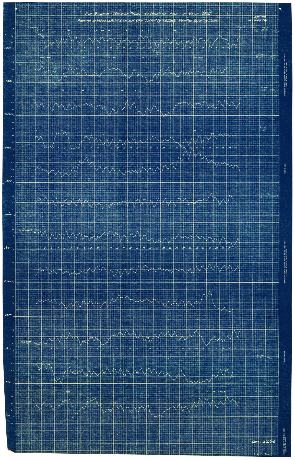
Tide Record - Morgan Point - by months for the year 1936 - Readings at Morgan's Point 6 A.M. - 12 M. - 6 P.M. - 12 Midnight
-
Map/Doc
6124
-
Collection
General Map Collection
-
Object Dates
1936 (Creation Date)
-
People and Organizations
W.B. Black (Surveyor/Engineer)
-
Counties
Harris
-
Subjects
Surveying Rolled Sketch
-
Height x Width
34.6 x 22.8 inches
87.9 x 57.9 cm
-
Medium
blueprint/diazo
Part of: General Map Collection
Guadalupe County Sketch File 15a

Print $9.00
- Digital $50.00
Guadalupe County Sketch File 15a
Size 10.3 x 8.2 inches
Map/Doc 24687
Llano County Working Sketch 12

Print $20.00
- Digital $50.00
Llano County Working Sketch 12
Size 18.8 x 12.5 inches
Map/Doc 70630
Right of Way and Track Map, Texas & New Orleans R.R. Co. operated by the T. & N. O. R.R. Co., Dallas-Sabine Branch

Print $40.00
- Digital $50.00
Right of Way and Track Map, Texas & New Orleans R.R. Co. operated by the T. & N. O. R.R. Co., Dallas-Sabine Branch
1918
Size 24.6 x 56.9 inches
Map/Doc 64629
Navarro County Working Sketch 12

Print $40.00
- Digital $50.00
Navarro County Working Sketch 12
1979
Size 37.2 x 48.8 inches
Map/Doc 71242

Crane County Working Sketch 32

Print $20.00
- Digital $50.00
Crane County Working Sketch 32
1984
Size 37.6 x 43.1 inches
Map/Doc 68309
Coast Chart No. 210 Aransas Pass and Corpus Christi Bay with the coast to latitude 27° 12' Texas

Print $20.00
- Digital $50.00
Coast Chart No. 210 Aransas Pass and Corpus Christi Bay with the coast to latitude 27° 12' Texas
1913
Size 27.5 x 18.3 inches
Map/Doc 72799
Oldham County Sketch File 1

Print $24.00
- Digital $50.00
Oldham County Sketch File 1
1880
Size 12.6 x 7.9 inches
Map/Doc 33213
Rusk County Sketch File 25

Print $20.00
Rusk County Sketch File 25
1932
Size 20.5 x 20.3 inches
Map/Doc 12272
Flight Mission No. CGI-4N, Frame 22, Cameron County

Print $20.00
- Digital $50.00
Flight Mission No. CGI-4N, Frame 22, Cameron County
1954
Size 18.5 x 22.3 inches
Map/Doc 84655
Menard County Working Sketch 22

Print $20.00
- Digital $50.00
Menard County Working Sketch 22
1950
Size 31.7 x 38.7 inches
Map/Doc 70969
Flight Mission No. CRK-8P, Frame 123, Refugio County

Print $20.00
- Digital $50.00
Flight Mission No. CRK-8P, Frame 123, Refugio County
1956
Size 18.4 x 22.1 inches
Map/Doc 86978
You may also like
Dallas County Boundary File 3

Print $6.00
- Digital $50.00
Dallas County Boundary File 3
Size 14.2 x 8.6 inches
Map/Doc 52120
La Salle County Rolled Sketch 8

Print $20.00
- Digital $50.00
La Salle County Rolled Sketch 8
Size 21.4 x 43.9 inches
Map/Doc 6571
Grimes County Working Sketch 16

Print $20.00
- Digital $50.00
Grimes County Working Sketch 16
1995
Size 41.6 x 33.1 inches
Map/Doc 63307
Hudspeth County Sketch File 31

Print $20.00
- Digital $50.00
Hudspeth County Sketch File 31
1908
Size 18.7 x 17.7 inches
Map/Doc 11805
Young County Rolled Sketch 12

Print $20.00
- Digital $50.00
Young County Rolled Sketch 12
Size 24.2 x 17.9 inches
Map/Doc 8300
Bastrop County Rolled Sketch 2

Print $20.00
- Digital $50.00
Bastrop County Rolled Sketch 2
1979
Size 26.3 x 18.4 inches
Map/Doc 5123
Real County Working Sketch 69

Print $20.00
- Digital $50.00
Real County Working Sketch 69
1942
Size 42.4 x 35.4 inches
Map/Doc 71961

Archer County Working Sketch 22

Print $20.00
- Digital $50.00
Archer County Working Sketch 22
1980
Size 36.4 x 38.0 inches
Map/Doc 67163
No. IX - Outline map of the vicinity of Corpus Christi

Print $20.00
- Digital $50.00
No. IX - Outline map of the vicinity of Corpus Christi
Size 24.8 x 18.3 inches
Map/Doc 72967

Duval County Rolled Sketch 27

Print $40.00
- Digital $50.00
Duval County Rolled Sketch 27
Size 14.6 x 50.6 inches
Map/Doc 8814