[Sketch Showing Wm. T. Brewer, John R. Taylor, Wm. F. Butler, Timothy DeVore, L. M. Thorn and adjoining surveys]
11-22
-
Map/Doc
90231
-
Collection
Twichell Survey Records
-
Counties
Bastrop
-
Height x Width
27.2 x 19.4 inches
69.1 x 49.3 cm
Part of: Twichell Survey Records
[H. & G. N. Block 1]
![90944, [H. & G. N. Block 1], Twichell Survey Records](https://historictexasmaps.com/wmedia_w700/maps/90944-1.tif.jpg)
![90944, [H. & G. N. Block 1], Twichell Survey Records](https://historictexasmaps.com/wmedia_w700/maps/90944-1.tif.jpg)
Print $20.00
- Digital $50.00
[H. & G. N. Block 1]
1873
Size 17.7 x 14.3 inches
Map/Doc 90944
Tech Town a Subdivision of the Northeast Quarter Section 18, Block B


Print $20.00
- Digital $50.00
Tech Town a Subdivision of the Northeast Quarter Section 18, Block B
Size 17.5 x 21.6 inches
Map/Doc 92792
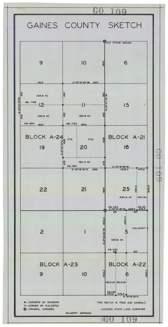
Gaines County Sketch

Print $20.00
- Digital $50.00
Gaines County Sketch
Size 9.7 x 18.5 inches
Map/Doc 92668
[Map Showing Capitol Lands]
![93198, [Map Showing Capitol Lands], Twichell Survey Records](https://historictexasmaps.com/wmedia_w700/maps/93198-1.tif.jpg)
![93198, [Map Showing Capitol Lands], Twichell Survey Records](https://historictexasmaps.com/wmedia_w700/maps/93198-1.tif.jpg)
Print $40.00
- Digital $50.00
[Map Showing Capitol Lands]
Size 43.9 x 104.8 inches
Map/Doc 93198
Mrs. W. H. Bledsoe Farm NE 100.2 Acres of Section 37, Block AK


Print $2.00
- Digital $50.00
Mrs. W. H. Bledsoe Farm NE 100.2 Acres of Section 37, Block AK
Size 10.6 x 9.2 inches
Map/Doc 92283
Working Sketch in Eastland County


Print $20.00
- Digital $50.00
Working Sketch in Eastland County
1919
Size 20.1 x 14.6 inches
Map/Doc 90931
[Sketch of Blocks M-19, 21W, JAD, 9 and G. & M. Block 5]
![91736, [Sketch of Blocks M-19, 21W, JAD, 9 and G. & M. Block 5], Twichell Survey Records](https://historictexasmaps.com/wmedia_w700/maps/91736-1.tif.jpg)
![91736, [Sketch of Blocks M-19, 21W, JAD, 9 and G. & M. Block 5], Twichell Survey Records](https://historictexasmaps.com/wmedia_w700/maps/91736-1.tif.jpg)
Print $20.00
- Digital $50.00
[Sketch of Blocks M-19, 21W, JAD, 9 and G. & M. Block 5]
Size 34.0 x 25.9 inches
Map/Doc 91736
Correct Map of Lamb County, Texas


Print $40.00
- Digital $50.00
Correct Map of Lamb County, Texas
1914
Size 47.1 x 57.1 inches
Map/Doc 89954
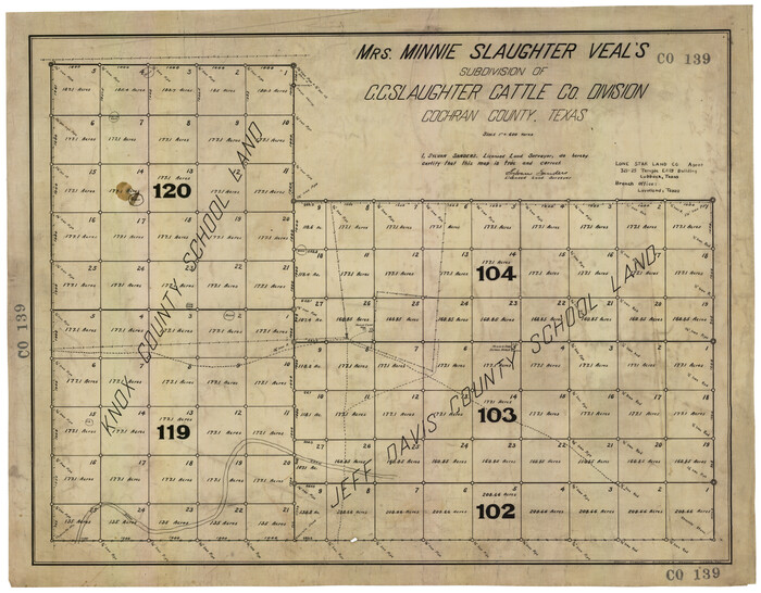
Mrs. Minnie Slaughter Veal's Subdivision of C. C. Slaughter Cattle Company Division

Print $20.00
- Digital $50.00
Mrs. Minnie Slaughter Veal's Subdivision of C. C. Slaughter Cattle Company Division
Size 26.5 x 20.6 inches
Map/Doc 92510
Green & Lumsden's Ranch


Print $20.00
- Digital $50.00
Green & Lumsden's Ranch
Size 28.4 x 24.7 inches
Map/Doc 92431
University of Texas System University Lands


Print $20.00
- Digital $50.00
University of Texas System University Lands
Size 17.8 x 23.4 inches
Map/Doc 93245
You may also like
Glasscock County Sketch File 5


Print $20.00
- Digital $50.00
Glasscock County Sketch File 5
1929
Size 23.0 x 22.7 inches
Map/Doc 11561
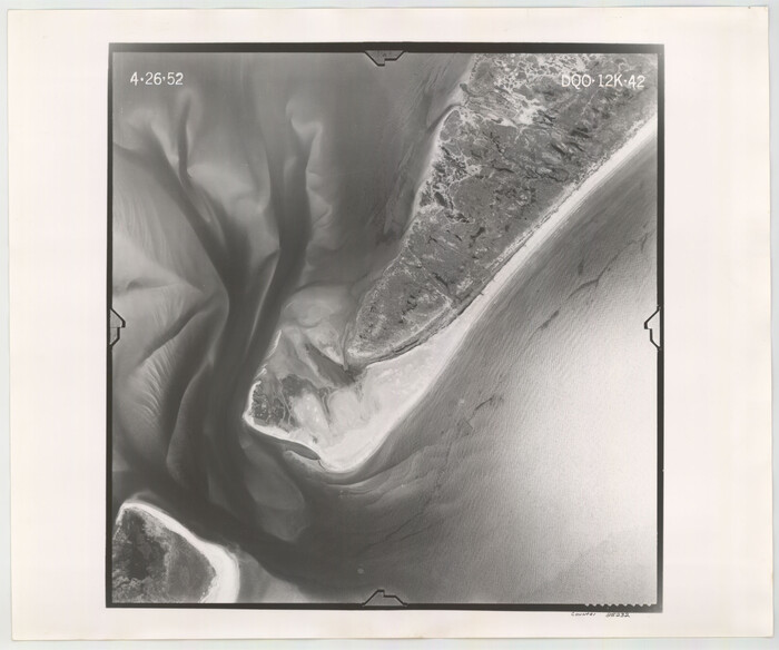
Flight Mission No. DQO-12K, Frame 42, Galveston County

Print $20.00
- Digital $50.00
Flight Mission No. DQO-12K, Frame 42, Galveston County
1952
Size 18.6 x 22.3 inches
Map/Doc 85232
Roswell District, New Mexico


Print $40.00
- Digital $50.00
Roswell District, New Mexico
Size 40.7 x 57.6 inches
Map/Doc 89817
McMullen County Working Sketch 30


Print $40.00
- Digital $50.00
McMullen County Working Sketch 30
1957
Size 41.4 x 50.8 inches
Map/Doc 70731
2008 Official Travel Map Texas


Digital $50.00
2008 Official Travel Map Texas
Size 33.4 x 36.5 inches
Map/Doc 94310
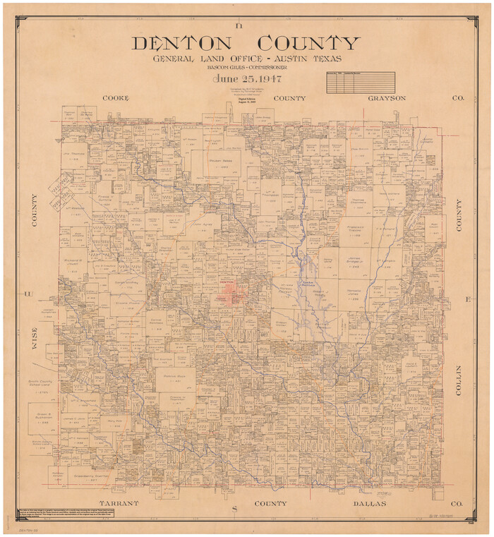
Denton County

Print $20.00
- Digital $50.00
Denton County
1947
Size 43.4 x 39.9 inches
Map/Doc 95480
Taylor County Sketch File 5
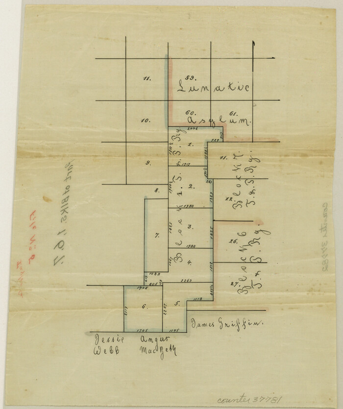

Print $4.00
- Digital $50.00
Taylor County Sketch File 5
Size 9.3 x 7.8 inches
Map/Doc 37781
Presidio County Working Sketch 65
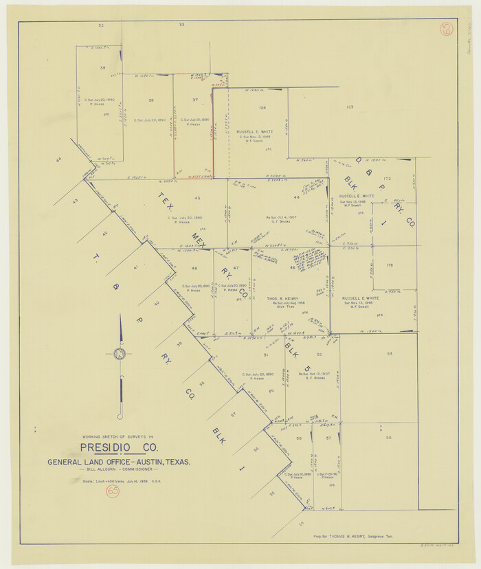

Print $20.00
- Digital $50.00
Presidio County Working Sketch 65
1958
Size 31.1 x 26.3 inches
Map/Doc 71742
Liberty County Working Sketch 1
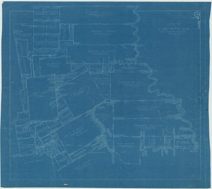

Print $20.00
- Digital $50.00
Liberty County Working Sketch 1
Size 26.5 x 29.7 inches
Map/Doc 70460
Encinal County
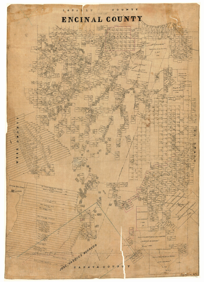

Print $20.00
- Digital $50.00
Encinal County
1886
Size 32.2 x 23.6 inches
Map/Doc 3518
Dallas County Rolled Sketch 3
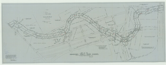

Print $40.00
- Digital $50.00
Dallas County Rolled Sketch 3
1953
Size 30.7 x 78.5 inches
Map/Doc 8767
Cameron County Aerial Photograph Index Sheet 5
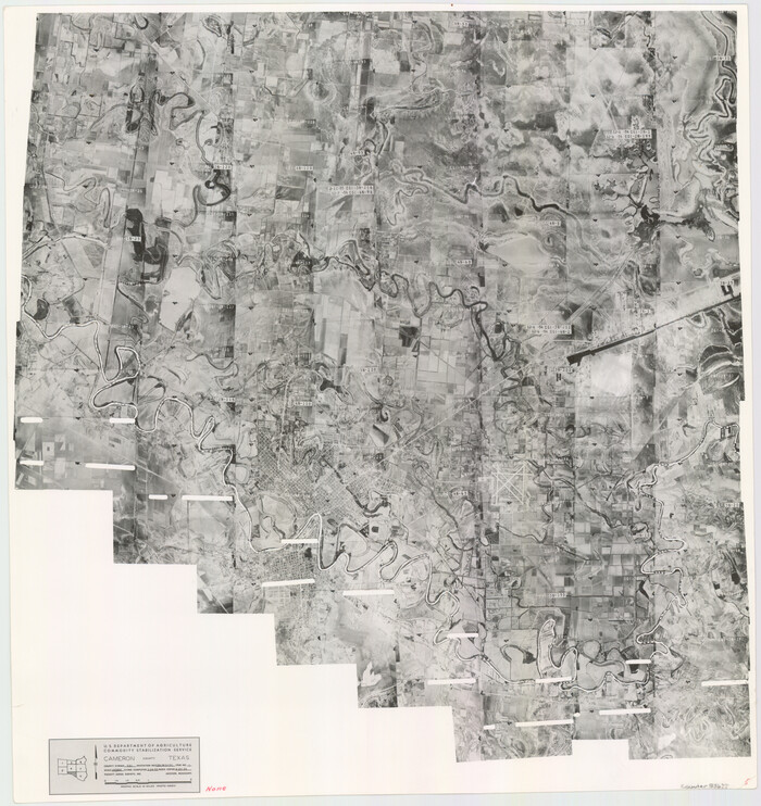

Print $20.00
- Digital $50.00
Cameron County Aerial Photograph Index Sheet 5
1955
Size 18.8 x 17.8 inches
Map/Doc 83677
![90231, [Sketch Showing Wm. T. Brewer, John R. Taylor, Wm. F. Butler, Timothy DeVore, L. M. Thorn and adjoining surveys], Twichell Survey Records](https://historictexasmaps.com/wmedia_w1800h1800/maps/90231-1.tif.jpg)
![90607, [Block K8], Twichell Survey Records](https://historictexasmaps.com/wmedia_w700/maps/90607-1.tif.jpg)