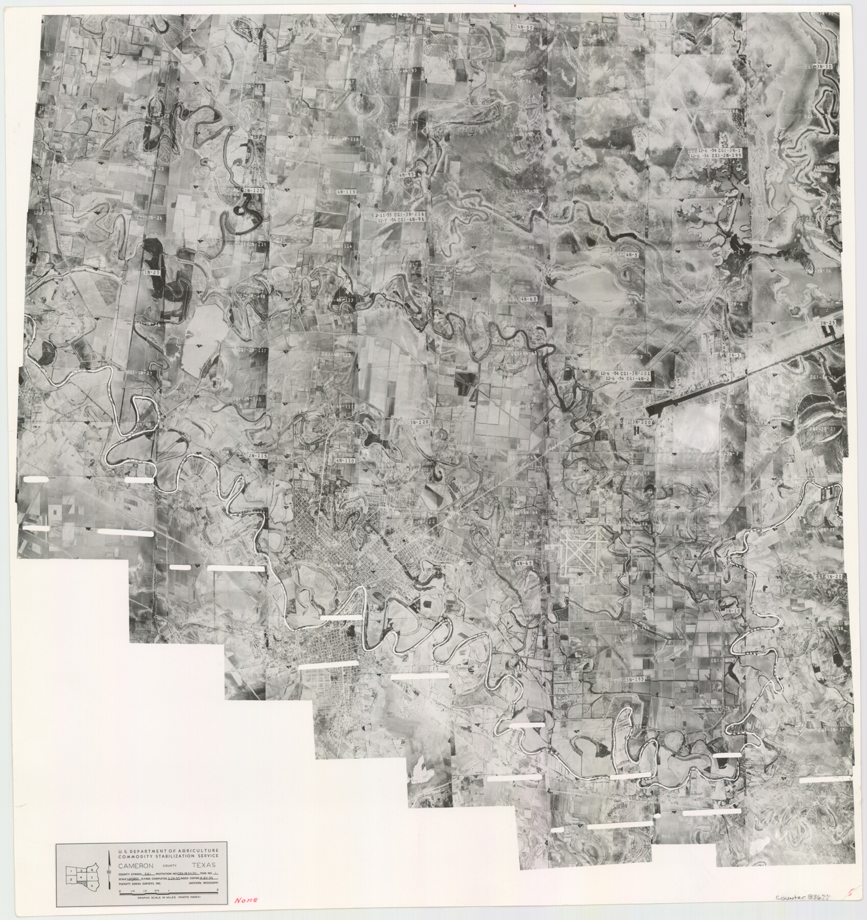
Cameron County Aerial Photograph Index Sheet 5
Cameron County Aerial Photograph Index 5
-
Map/Doc
83677
-
Collection
General Map Collection
-
Object Dates
1955/4/24 (Creation Date)
-
People and Organizations
U. S. Department of Agriculture (Publisher)
-
Counties
Cameron
-
Subjects
Aerial Photograph
-
Height x Width
18.8 x 17.8 inches
47.8 x 45.2 cm
-
Comments
Flying completed March 24, 1955 by Puckett Aerial Surveys, Inc. of Jackson, Mississippi.
Part of: General Map Collection
Floyd County Boundary File 1

Print $30.00
- Digital $50.00
Floyd County Boundary File 1
Size 8.9 x 4.2 inches
Map/Doc 53445
Nueces County Rolled Sketch GT

Print $20.00
- Digital $50.00
Nueces County Rolled Sketch GT
1924
Size 24.9 x 38.6 inches
Map/Doc 7169
Runnels County Rolled Sketch 30

Print $20.00
- Digital $50.00
Runnels County Rolled Sketch 30
Size 26.8 x 30.6 inches
Map/Doc 7518
Red River County Working Sketch 39

Print $20.00
- Digital $50.00
Red River County Working Sketch 39
1967
Size 33.4 x 23.8 inches
Map/Doc 72022
Young County Sketch File 13

Print $4.00
- Digital $50.00
Young County Sketch File 13
1891
Size 8.3 x 10.0 inches
Map/Doc 40878
Presidio County Rolled Sketch 13

Print $40.00
- Digital $50.00
Presidio County Rolled Sketch 13
1882
Size 58.8 x 48.0 inches
Map/Doc 9763
Culberson County Working Sketch 64

Print $20.00
- Digital $50.00
Culberson County Working Sketch 64
1975
Size 46.5 x 30.8 inches
Map/Doc 68518
Wise County Sketch File 14

Print $24.00
- Digital $50.00
Wise County Sketch File 14
1855
Size 12.8 x 8.2 inches
Map/Doc 40548
Kimble County Sketch File 3

Print $4.00
- Digital $50.00
Kimble County Sketch File 3
1847
Size 9.1 x 11.5 inches
Map/Doc 28910
Henderson County Sketch File 16

Print $40.00
- Digital $50.00
Henderson County Sketch File 16
1935
Size 14.9 x 16.3 inches
Map/Doc 26359
Hardin County Working Sketch 38

Print $20.00
- Digital $50.00
Hardin County Working Sketch 38
1981
Size 37.2 x 19.4 inches
Map/Doc 63436
Colorado County Sketch File 5

Print $4.00
- Digital $50.00
Colorado County Sketch File 5
Size 12.5 x 8.3 inches
Map/Doc 18919
You may also like
Pecos County Working Sketch 67

Print $20.00
- Digital $50.00
Pecos County Working Sketch 67
1955
Size 17.7 x 18.7 inches
Map/Doc 71539
Franklin County Boundary File 1

Print $8.00
- Digital $50.00
Franklin County Boundary File 1
Size 12.9 x 8.1 inches
Map/Doc 53569
Flight Mission No. CUG-3P, Frame 136, Kleberg County

Print $20.00
- Digital $50.00
Flight Mission No. CUG-3P, Frame 136, Kleberg County
1956
Size 18.5 x 22.3 inches
Map/Doc 86271
Throckmorton Co.

Print $20.00
- Digital $50.00
Throckmorton Co.
1898
Size 41.2 x 35.9 inches
Map/Doc 16895
[Jack District]
![16828, [Jack District], General Map Collection](https://historictexasmaps.com/wmedia_w700/maps/16828.tif.jpg)
Print $40.00
- Digital $50.00
[Jack District]
1876
Size 50.0 x 76.4 inches
Map/Doc 16828
Crockett County Sketch File 67

Print $20.00
- Digital $50.00
Crockett County Sketch File 67
1927
Size 30.1 x 26.6 inches
Map/Doc 11231
Pecos County Working Sketch 89.5

Print $40.00
- Digital $50.00
Pecos County Working Sketch 89.5
1965
Size 80.5 x 32.5 inches
Map/Doc 71561
Bandera County Boundary File 2

Print $4.00
- Digital $50.00
Bandera County Boundary File 2
Size 9.1 x 7.5 inches
Map/Doc 50264
Tom Green County Working Sketch 2

Print $20.00
- Digital $50.00
Tom Green County Working Sketch 2
1917
Size 21.1 x 32.9 inches
Map/Doc 69371
Olton, Texas Voted County Seat of Lamb County

Print $20.00
- Digital $50.00
Olton, Texas Voted County Seat of Lamb County
Size 23.2 x 24.1 inches
Map/Doc 92151
Map of Caldwell County, Texas

Print $20.00
Map of Caldwell County, Texas
1880
Size 18.7 x 22.0 inches
Map/Doc 88915
Hudspeth County Working Sketch 42

Print $20.00
- Digital $50.00
Hudspeth County Working Sketch 42
1981
Size 34.2 x 36.5 inches
Map/Doc 66327