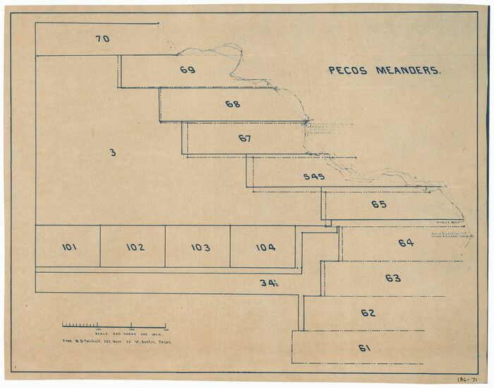
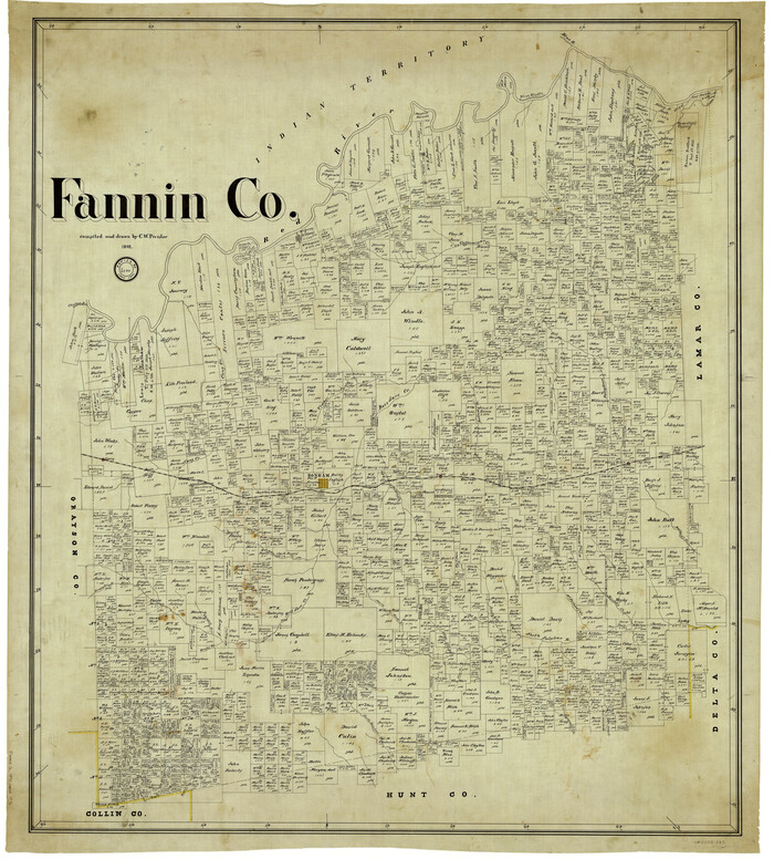
[C. C. Slaughter Block 1, T. T. RR. Co. Block 2]
58-57
-
Map/Doc
90622
-
Collection
Twichell Survey Records
-
Counties
Dawson
-
Height x Width
10.5 x 10.8 inches
26.7 x 27.4 cm
Part of: Twichell Survey Records
Subdivision of Outlots 1 and 2 in Original Townsite of Seagraves, Texas
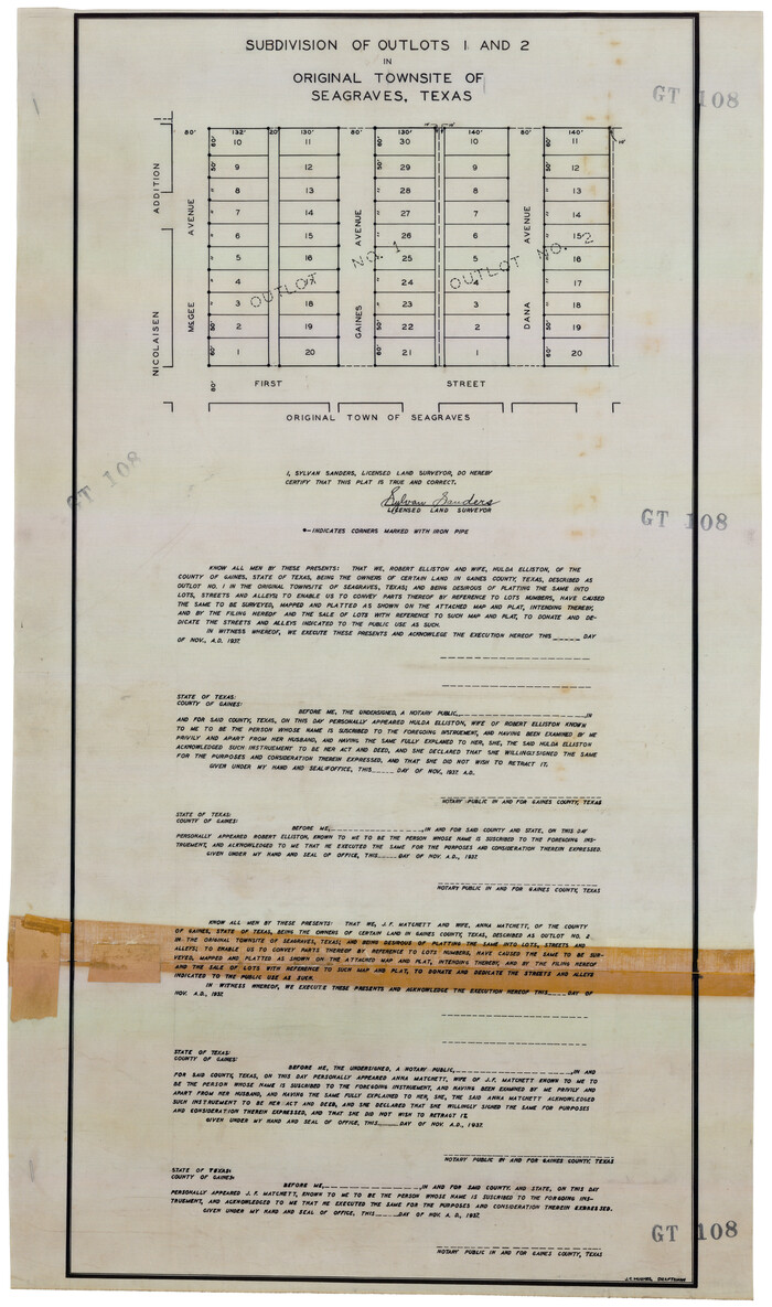

Print $20.00
- Digital $50.00
Subdivision of Outlots 1 and 2 in Original Townsite of Seagraves, Texas
1955
Size 17.3 x 29.1 inches
Map/Doc 92688
Zavalla County School Land Hockley County, Texas
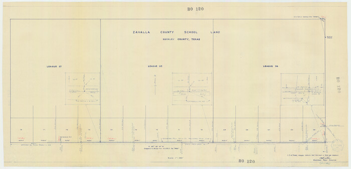

Print $20.00
- Digital $50.00
Zavalla County School Land Hockley County, Texas
1956
Size 41.6 x 20.2 inches
Map/Doc 92254
[Sketch of Blocks M-19, 21W, JAD, 9 and G. & M. Block 5]
![91736, [Sketch of Blocks M-19, 21W, JAD, 9 and G. & M. Block 5], Twichell Survey Records](https://historictexasmaps.com/wmedia_w700/maps/91736-1.tif.jpg)
![91736, [Sketch of Blocks M-19, 21W, JAD, 9 and G. & M. Block 5], Twichell Survey Records](https://historictexasmaps.com/wmedia_w700/maps/91736-1.tif.jpg)
Print $20.00
- Digital $50.00
[Sketch of Blocks M-19, 21W, JAD, 9 and G. & M. Block 5]
Size 34.0 x 25.9 inches
Map/Doc 91736
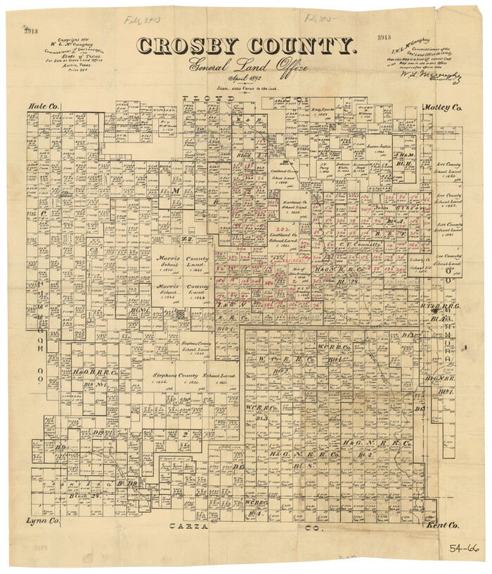
Crosby County

Print $20.00
- Digital $50.00
Crosby County
1892
Size 13.2 x 15.4 inches
Map/Doc 90495
Conoco Official Road Map New Mexico


Print $20.00
- Digital $50.00
Conoco Official Road Map New Mexico
1934
Size 18.5 x 24.5 inches
Map/Doc 92437
Block 2 T. & N. Ry. Co., Block 97 H. T. C. Ry. Co.


Print $40.00
- Digital $50.00
Block 2 T. & N. Ry. Co., Block 97 H. T. C. Ry. Co.
1888
Size 41.5 x 48.1 inches
Map/Doc 89874
[C. C. Slaughter Block 1, T. T. RR. Co. Block 2]
![90621, [C. C. Slaughter Block 1, T. T. RR. Co. Block 2], Twichell Survey Records](https://historictexasmaps.com/wmedia_w700/maps/90621-1.tif.jpg)
![90621, [C. C. Slaughter Block 1, T. T. RR. Co. Block 2], Twichell Survey Records](https://historictexasmaps.com/wmedia_w700/maps/90621-1.tif.jpg)
Print $2.00
- Digital $50.00
[C. C. Slaughter Block 1, T. T. RR. Co. Block 2]
Size 8.6 x 11.5 inches
Map/Doc 90621
[Leagues 589-598, 627-630, part of Black Water Pasture]
![90259, [Leagues 589-598, 627-630, part of Black Water Pasture], Twichell Survey Records](https://historictexasmaps.com/wmedia_w700/maps/90259-1.tif.jpg)
![90259, [Leagues 589-598, 627-630, part of Black Water Pasture], Twichell Survey Records](https://historictexasmaps.com/wmedia_w700/maps/90259-1.tif.jpg)
Print $3.00
- Digital $50.00
[Leagues 589-598, 627-630, part of Black Water Pasture]
Size 14.5 x 11.5 inches
Map/Doc 90259
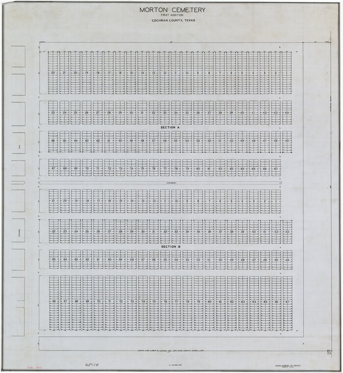
Morton, Cochran County, Texas / Morton Cemetery First Addition, Cochran County, Texas

Print $20.00
- Digital $50.00
Morton, Cochran County, Texas / Morton Cemetery First Addition, Cochran County, Texas
Size 37.4 x 40.3 inches
Map/Doc 89853
[Topographical Map]
![92543, [Topographical Map], Twichell Survey Records](https://historictexasmaps.com/wmedia_w700/maps/92543-1.tif.jpg)
![92543, [Topographical Map], Twichell Survey Records](https://historictexasmaps.com/wmedia_w700/maps/92543-1.tif.jpg)
Print $20.00
- Digital $50.00
[Topographical Map]
Size 31.2 x 37.5 inches
Map/Doc 92543
[Township 3 North, Blocks 33 and 34, T. & P. RR. Company; Township 4 North, Block 33, T. & P. RR. Company]
![92564, [Township 3 North, Blocks 33 and 34, T. & P. RR. Company; Township 4 North, Block 33, T. & P. RR. Company], Twichell Survey Records](https://historictexasmaps.com/wmedia_w700/maps/92564-1.tif.jpg)
![92564, [Township 3 North, Blocks 33 and 34, T. & P. RR. Company; Township 4 North, Block 33, T. & P. RR. Company], Twichell Survey Records](https://historictexasmaps.com/wmedia_w700/maps/92564-1.tif.jpg)
Print $20.00
- Digital $50.00
[Township 3 North, Blocks 33 and 34, T. & P. RR. Company; Township 4 North, Block 33, T. & P. RR. Company]
1911
Size 18.6 x 24.8 inches
Map/Doc 92564
You may also like
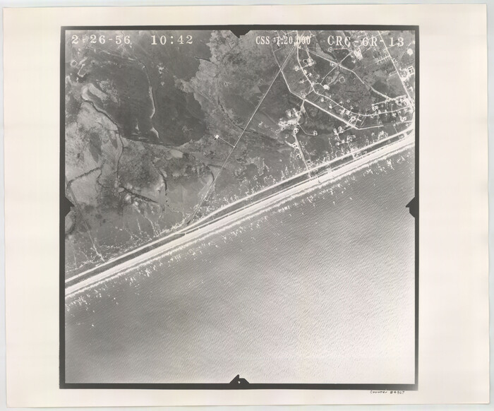
Flight Mission No. CRC-6R, Frame 13, Chambers County

Print $20.00
- Digital $50.00
Flight Mission No. CRC-6R, Frame 13, Chambers County
1956
Size 18.6 x 22.3 inches
Map/Doc 84967
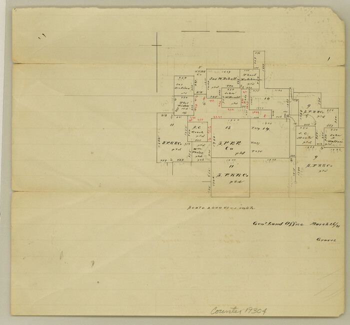
Cooke County Sketch File 36

Print $4.00
- Digital $50.00
Cooke County Sketch File 36
1881
Size 7.8 x 8.4 inches
Map/Doc 19304
Kimble County Working Sketch 85
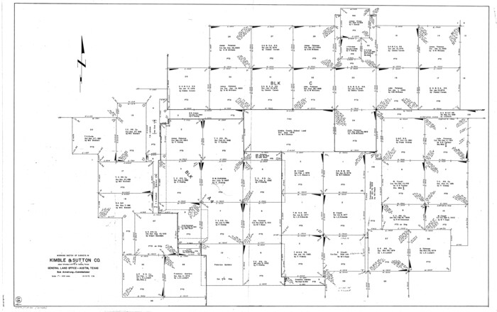

Print $40.00
- Digital $50.00
Kimble County Working Sketch 85
1972
Size 35.7 x 56.8 inches
Map/Doc 70153
Map of J. J. Lane and A. D. Jones and Four Lakes Ranch
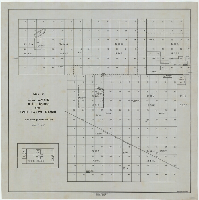

Print $20.00
- Digital $50.00
Map of J. J. Lane and A. D. Jones and Four Lakes Ranch
Size 28.7 x 28.8 inches
Map/Doc 92398
Flight Mission No. CGI-3N, Frame 163, Cameron County

Print $20.00
- Digital $50.00
Flight Mission No. CGI-3N, Frame 163, Cameron County
1954
Size 18.5 x 22.3 inches
Map/Doc 84627
Nueces County Rolled Sketch 83
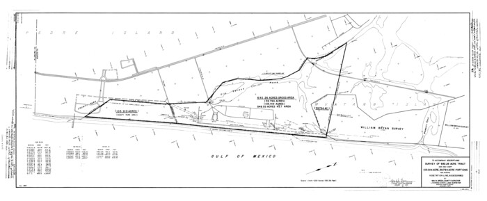

Print $40.00
- Digital $50.00
Nueces County Rolled Sketch 83
1973
Size 20.1 x 48.7 inches
Map/Doc 9629
Carte d'un Nouveau Monde, entre le Nouveau Mexique, et la Mer Glacialle
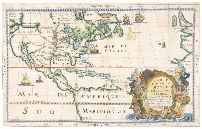

Print $20.00
- Digital $50.00
Carte d'un Nouveau Monde, entre le Nouveau Mexique, et la Mer Glacialle
1698
Size 11.5 x 18.1 inches
Map/Doc 96555
Reagan County Sketch File 2B
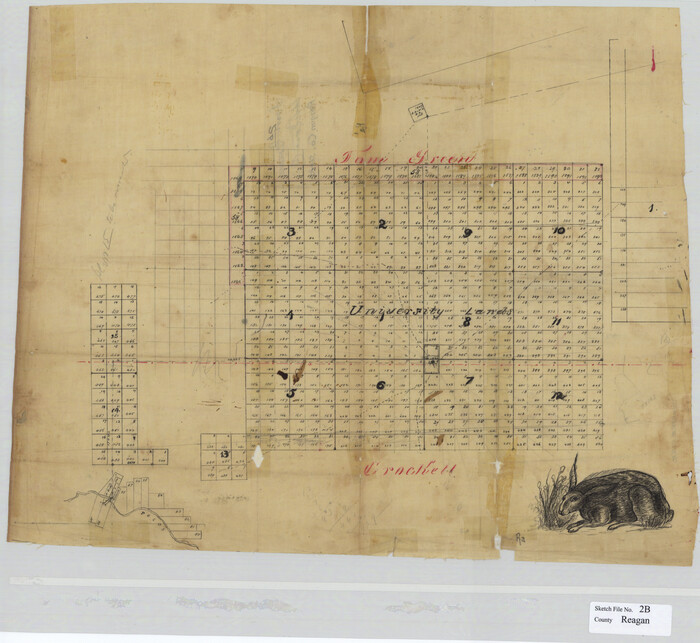

Print $20.00
- Digital $50.00
Reagan County Sketch File 2B
Size 20.4 x 22.2 inches
Map/Doc 12212
Flight Mission No. CLL-3N, Frame 18, Willacy County


Print $20.00
- Digital $50.00
Flight Mission No. CLL-3N, Frame 18, Willacy County
1954
Size 18.4 x 22.1 inches
Map/Doc 87084
Robertson County Working Sketch 7


Print $20.00
- Digital $50.00
Robertson County Working Sketch 7
1983
Size 36.6 x 38.3 inches
Map/Doc 78228
Flight Mission No. BRA-7M, Frame 33, Jefferson County
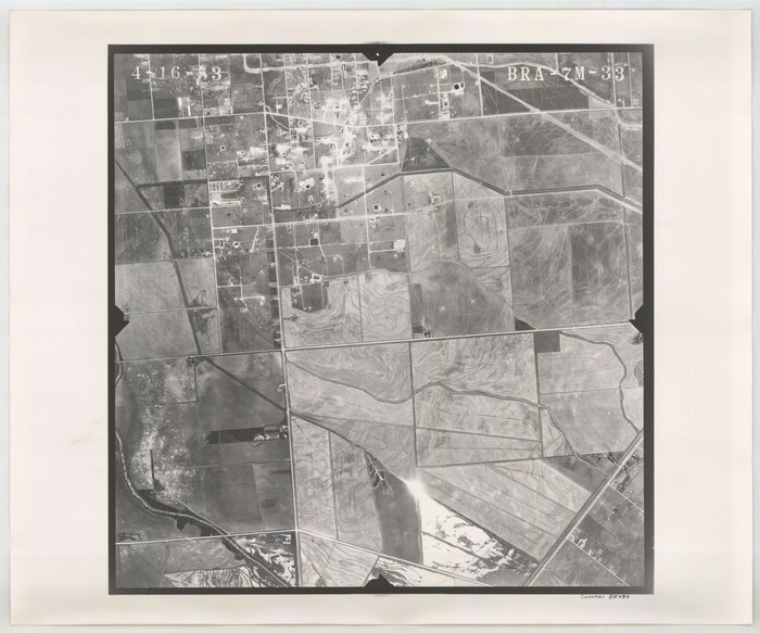

Print $20.00
- Digital $50.00
Flight Mission No. BRA-7M, Frame 33, Jefferson County
1953
Size 18.6 x 22.4 inches
Map/Doc 85484
![90622, [C. C. Slaughter Block 1, T. T. RR. Co. Block 2], Twichell Survey Records](https://historictexasmaps.com/wmedia_w1800h1800/maps/90622-1.tif.jpg)
