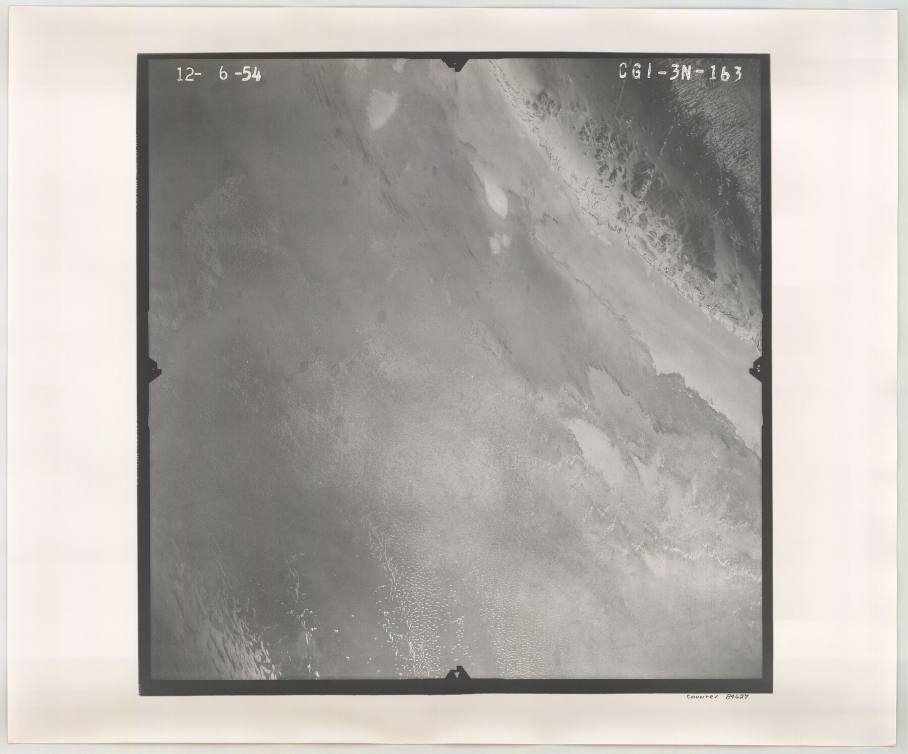
Flight Mission No. CGI-3N, Frame 163, Cameron County
CGI-3N-163
-
Map/Doc
84627
-
Collection
General Map Collection
-
Object Dates
1954/12/6 (Creation Date)
-
People and Organizations
U. S. Department of Agriculture (Publisher)
-
Counties
Cameron
-
Subjects
Aerial Photograph
-
Height x Width
18.5 x 22.3 inches
47.0 x 56.6 cm
-
Comments
Flown by Puckett Aerial Surveys, Inc. of Jackson, Mississippi.
Part of: General Map Collection
Mills County Sketch File 18A

Print $20.00
- Digital $50.00
Mills County Sketch File 18A
1913
Size 26.5 x 18.4 inches
Map/Doc 12093
Wilson County Sketch File 1

Print $6.00
- Digital $50.00
Wilson County Sketch File 1
1858
Size 10.4 x 7.5 inches
Map/Doc 40396
Houston County

Print $40.00
- Digital $50.00
Houston County
1944
Size 50.3 x 50.3 inches
Map/Doc 73184
Pecos County Rolled Sketch 69A

Print $20.00
- Digital $50.00
Pecos County Rolled Sketch 69A
1928
Size 44.3 x 35.9 inches
Map/Doc 9702
Edwards County Working Sketch 52

Print $20.00
- Digital $50.00
Edwards County Working Sketch 52
1950
Size 46.8 x 34.1 inches
Map/Doc 68928
Flight Mission No. BRA-7M, Frame 130, Jefferson County

Print $20.00
- Digital $50.00
Flight Mission No. BRA-7M, Frame 130, Jefferson County
1953
Size 16.2 x 16.0 inches
Map/Doc 85524
El Paso County Working Sketch 58

Print $20.00
- Digital $50.00
El Paso County Working Sketch 58
Size 25.8 x 30.6 inches
Map/Doc 69080
Hardin County Rolled Sketch 3

Print $20.00
- Digital $50.00
Hardin County Rolled Sketch 3
1902
Size 20.1 x 17.0 inches
Map/Doc 6076
Eastland County Sketch File 18

Print $20.00
- Digital $50.00
Eastland County Sketch File 18
1912
Size 17.3 x 15.5 inches
Map/Doc 11414
Rains County Sketch File 2

Print $4.00
- Digital $50.00
Rains County Sketch File 2
Size 10.1 x 7.4 inches
Map/Doc 34945
Matagorda County NRC Article 33.136 Sketch 19

Print $24.00
Matagorda County NRC Article 33.136 Sketch 19
2023
Map/Doc 97268
[Right of Way Map, Belton Branch of the M.K.&T. RR.]
![64224, [Right of Way Map, Belton Branch of the M.K.&T. RR.], General Map Collection](https://historictexasmaps.com/wmedia_w700/maps/64224.tif.jpg)
Print $20.00
- Digital $50.00
[Right of Way Map, Belton Branch of the M.K.&T. RR.]
1896
Size 7.1 x 20.6 inches
Map/Doc 64224
You may also like
[Surveys in Austin's Colony along the west bank of the Colorado River]
![199, [Surveys in Austin's Colony along the west bank of the Colorado River], General Map Collection](https://historictexasmaps.com/wmedia_w700/maps/199.tif.jpg)
Print $20.00
- Digital $50.00
[Surveys in Austin's Colony along the west bank of the Colorado River]
1831
Size 10.9 x 28.5 inches
Map/Doc 199
Montgomery County Working Sketch 18

Print $20.00
- Digital $50.00
Montgomery County Working Sketch 18
1935
Size 34.0 x 39.1 inches
Map/Doc 71125
Map of North America designed to accompany Smith's Geography for Schools

Print $20.00
- Digital $50.00
Map of North America designed to accompany Smith's Geography for Schools
1850
Size 12.0 x 9.9 inches
Map/Doc 93883
Presidio County Working Sketch 42

Print $40.00
- Digital $50.00
Presidio County Working Sketch 42
1948
Size 90.9 x 38.2 inches
Map/Doc 71719
Hudspeth County Sketch File 29

Print $20.00
- Digital $50.00
Hudspeth County Sketch File 29
1918
Size 22.3 x 21.4 inches
Map/Doc 11804
Anderson County Working Sketch 26

Print $20.00
- Digital $50.00
Anderson County Working Sketch 26
1959
Size 31.6 x 43.1 inches
Map/Doc 67026
Sketch in Lynn, Terry, Gaines & Dawson Counties, Texas

Print $40.00
- Digital $50.00
Sketch in Lynn, Terry, Gaines & Dawson Counties, Texas
1940
Size 52.5 x 32.6 inches
Map/Doc 89685
Corpus Christi Bay, Texas

Print $40.00
- Digital $50.00
Corpus Christi Bay, Texas
1867
Size 33.0 x 48.7 inches
Map/Doc 73467

Rusk County Sketch File 19a

Print $4.00
Rusk County Sketch File 19a
1860
Size 8.2 x 6.6 inches
Map/Doc 35528
Hutchinson County Working Sketch 37

Print $20.00
- Digital $50.00
Hutchinson County Working Sketch 37
1978
Size 27.5 x 23.0 inches
Map/Doc 66397
Hale County Rolled Sketch 10

Print $40.00
- Digital $50.00
Hale County Rolled Sketch 10
Size 52.8 x 56.6 inches
Map/Doc 9096