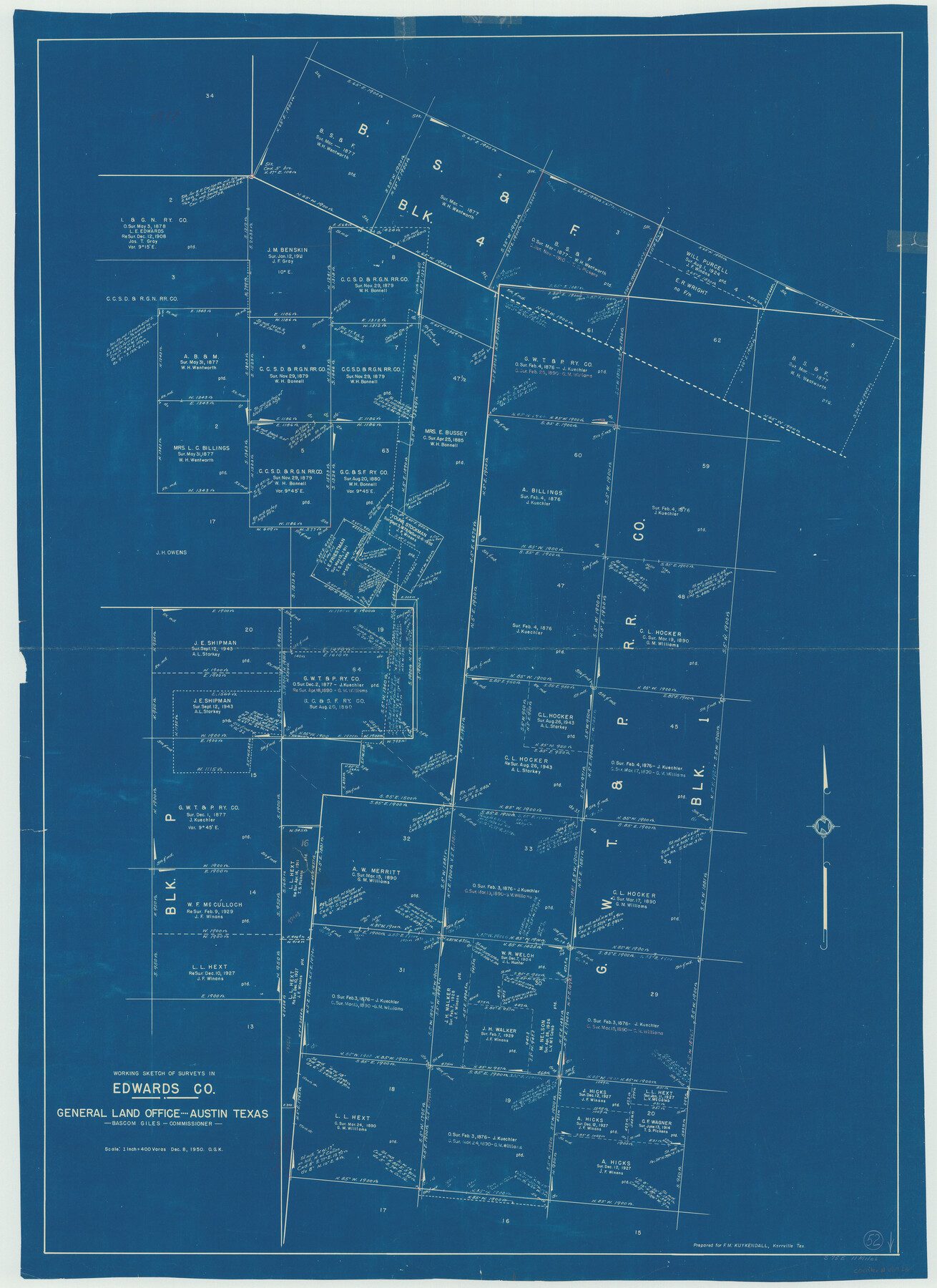
Edwards County Working Sketch 52
-
Map/Doc
68928
-
Collection
General Map Collection
-
Object Dates
12/8/1950 (Creation Date)
-
People and Organizations
Otto G. Kurio (Draftsman)
Otto G. Kurio (Draftsman)
-
Counties
Edwards
-
Subjects
Surveying Working Sketch
-
Height x Width
46.8 x 34.1 inches
118.9 x 86.6 cm
-
Scale
1" = 400 varas
Part of: General Map Collection
San Patricio County Rolled Sketch 27

Print $40.00
- Digital $50.00
San Patricio County Rolled Sketch 27
Size 49.5 x 37.8 inches
Map/Doc 9890

Ward County Working Sketch 5

Print $20.00
- Digital $50.00
Ward County Working Sketch 5
1943
Size 19.1 x 36.5 inches
Map/Doc 72311
Central United States [Recto]
![94194, Central United States [Recto], General Map Collection](https://historictexasmaps.com/wmedia_w700/maps/94194.tif.jpg)
Central United States [Recto]
1958
Size 18.3 x 38.6 inches
Map/Doc 94194
Harbor Pass and Bar at Brazos Santiago, Texas

Print $20.00
- Digital $50.00
Harbor Pass and Bar at Brazos Santiago, Texas
1871
Size 26.8 x 18.3 inches
Map/Doc 72984
Brewster County Sketch File N-12

Print $4.00
- Digital $50.00
Brewster County Sketch File N-12
1933
Size 14.3 x 9.0 inches
Map/Doc 15623
Limestone Co.

Print $20.00
- Digital $50.00
Limestone Co.
1971
Size 40.6 x 27.5 inches
Map/Doc 77354
Tarrant County Working Sketch 24

Print $20.00
- Digital $50.00
Tarrant County Working Sketch 24
2003
Size 26.0 x 34.9 inches
Map/Doc 78642
Presidio County Sketch File 78

Print $6.00
- Digital $50.00
Presidio County Sketch File 78
Size 8.4 x 14.3 inches
Map/Doc 34706
Matagorda County Working Sketch 15

Print $40.00
- Digital $50.00
Matagorda County Working Sketch 15
1954
Size 49.3 x 44.5 inches
Map/Doc 70873
San Saba County

Print $20.00
- Digital $50.00
San Saba County
1918
Size 23.6 x 18.4 inches
Map/Doc 78397
Culberson County Working Sketch 8

Print $20.00
- Digital $50.00
Culberson County Working Sketch 8
1914
Size 35.4 x 36.0 inches
Map/Doc 68460
You may also like
Houston & Great Northern R.R. from Troupe in Smith Co. the point of junction with International R.R. to Mineola in Wood Co. the point of junction with T. & P. R.R.

Print $22.00
- Digital $50.00
Houston & Great Northern R.R. from Troupe in Smith Co. the point of junction with International R.R. to Mineola in Wood Co. the point of junction with T. & P. R.R.
1873
Size 21.2 x 8.6 inches
Map/Doc 64301
The American Union Railroad Map of the United States, British Possessions, West Indies, Mexico, and Central America

Print $40.00
- Digital $50.00
The American Union Railroad Map of the United States, British Possessions, West Indies, Mexico, and Central America
1873
Size 40.2 x 58.2 inches
Map/Doc 97124
Cooke County Sketch File 26

Print $4.00
- Digital $50.00
Cooke County Sketch File 26
1872
Size 5.9 x 8.2 inches
Map/Doc 19277
El Paso County Working Sketch 25

Print $20.00
- Digital $50.00
El Paso County Working Sketch 25
1962
Size 42.7 x 41.9 inches
Map/Doc 69047
Kerr County Working Sketch 1

Print $20.00
- Digital $50.00
Kerr County Working Sketch 1
1900
Size 18.5 x 18.0 inches
Map/Doc 70032
[Blocks C22, C23, C24, 77, B3, B5, 26, 27, 74, 75]
![91973, [Blocks C22, C23, C24, 77, B3, B5, 26, 27, 74, 75], Twichell Survey Records](https://historictexasmaps.com/wmedia_w700/maps/91973-1.tif.jpg)
Print $20.00
- Digital $50.00
[Blocks C22, C23, C24, 77, B3, B5, 26, 27, 74, 75]
Size 21.9 x 16.9 inches
Map/Doc 91973
Hunt County Sketch File 27

Print $4.00
- Digital $50.00
Hunt County Sketch File 27
1860
Size 10.3 x 7.6 inches
Map/Doc 27126
Yoakum County Sketch File 21

Print $2.00
- Digital $50.00
Yoakum County Sketch File 21
2005
Size 8.5 x 14.0 inches
Map/Doc 83597
Wise County Sketch File 40

Print $4.00
- Digital $50.00
Wise County Sketch File 40
1875
Size 8.0 x 10.6 inches
Map/Doc 40597
Flight Mission No. DAG-21K, Frame 120, Matagorda County

Print $20.00
- Digital $50.00
Flight Mission No. DAG-21K, Frame 120, Matagorda County
1952
Size 18.5 x 22.3 inches
Map/Doc 86446
Map of Kerr County

Print $20.00
- Digital $50.00
Map of Kerr County
1869
Size 22.2 x 32.1 inches
Map/Doc 3764
Val Verde County Rolled Sketch 61

Print $20.00
- Digital $50.00
Val Verde County Rolled Sketch 61
1938
Size 27.3 x 24.2 inches
Map/Doc 8128