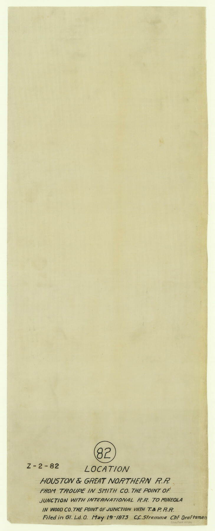
Houston & Great Northern R.R. from Troupe in Smith Co. the point of junction with International R.R. to Mineola in Wood Co. the point of junction with T. & P. R.R.
Z-2-82
-
Map/Doc
64301
-
Collection
General Map Collection
-
Object Dates
1873/5/15 (Creation Date)
1873/5/19 (File Date)
-
People and Organizations
C.C. Stremme (GLO Clerk)
-
Counties
Smith Wood
-
Subjects
Railroads
-
Height x Width
21.2 x 8.6 inches
53.8 x 21.8 cm
-
Medium
paper, manuscript
-
Features
H&GN
IRRC
T&P
Part of: General Map Collection
Polk County Working Sketch 37

Print $20.00
- Digital $50.00
Polk County Working Sketch 37
1974
Size 31.3 x 38.2 inches
Map/Doc 71654
Flight Mission No. DAG-24K, Frame 140, Matagorda County

Print $20.00
- Digital $50.00
Flight Mission No. DAG-24K, Frame 140, Matagorda County
1953
Size 17.0 x 15.6 inches
Map/Doc 86558
Jefferson County NRC Article 33.136 Sketch 5

Print $4.00
- Digital $50.00
Jefferson County NRC Article 33.136 Sketch 5
2005
Size 14.1 x 8.8 inches
Map/Doc 83170
Galveston County Sketch File 15

Print $4.00
- Digital $50.00
Galveston County Sketch File 15
Size 6.7 x 3.7 inches
Map/Doc 23382
[Sketch of Col. Cooke's Military Road expedition from Red River to Austin]
![82146, [Sketch of Col. Cooke's Military Road expedition from Red River to Austin], General Map Collection](https://historictexasmaps.com/wmedia_w700/maps/82146-1.tif.jpg)
Print $20.00
- Digital $50.00
[Sketch of Col. Cooke's Military Road expedition from Red River to Austin]
Size 33.4 x 23.4 inches
Map/Doc 82146
Trinity County Sketch File 34A

Print $6.00
- Digital $50.00
Trinity County Sketch File 34A
1921
Size 16.6 x 10.8 inches
Map/Doc 38578
Map of Fayette County Texas

Print $20.00
- Digital $50.00
Map of Fayette County Texas
1840
Size 26.4 x 22.6 inches
Map/Doc 3539
Flight Mission No. CUG-1P, Frame 103, Kleberg County

Print $20.00
- Digital $50.00
Flight Mission No. CUG-1P, Frame 103, Kleberg County
1956
Size 18.5 x 22.6 inches
Map/Doc 86153
Henderson County Sketch File 23

Print $38.00
- Digital $50.00
Henderson County Sketch File 23
1956
Size 9.1 x 9.1 inches
Map/Doc 26372
Sterling County Rolled Sketch 30

Print $20.00
- Digital $50.00
Sterling County Rolled Sketch 30
Size 20.4 x 27.8 inches
Map/Doc 7855
Archer County Sketch File 15

Print $40.00
- Digital $50.00
Archer County Sketch File 15
1886
Size 16.6 x 17.9 inches
Map/Doc 10827
McMullen County Sketch File 37

Print $6.00
- Digital $50.00
McMullen County Sketch File 37
1937
Size 14.3 x 8.8 inches
Map/Doc 31410
You may also like
Medina County Working Sketch 17

Print $20.00
- Digital $50.00
Medina County Working Sketch 17
1979
Size 26.8 x 34.5 inches
Map/Doc 70932
Callahan County Sketch File 10b

Print $6.00
- Digital $50.00
Callahan County Sketch File 10b
Size 12.1 x 10.8 inches
Map/Doc 35883
Acts of the Visit of the Royal Commissioners (sometimes referred to as the “Visita General”) - Reynosa

Acts of the Visit of the Royal Commissioners (sometimes referred to as the “Visita General”) - Reynosa
1767
Size 14.1 x 9.3 inches
Map/Doc 94258
The Latest Map of Texas

Print $20.00
- Digital $50.00
The Latest Map of Texas
1889
Size 32.0 x 34.0 inches
Map/Doc 93422
The Republic County of Victoria. January 29, 1842

Print $20.00
The Republic County of Victoria. January 29, 1842
2020
Size 24.3 x 21.7 inches
Map/Doc 96298
Travis County Rolled Sketch 29

Print $20.00
- Digital $50.00
Travis County Rolled Sketch 29
1946
Size 25.1 x 37.8 inches
Map/Doc 8031
Stonewall County Rolled Sketch 10

Print $20.00
- Digital $50.00
Stonewall County Rolled Sketch 10
Size 22.3 x 29.6 inches
Map/Doc 7866

Flight Mission No. DQO-11K, Frame 19, Galveston County

Print $20.00
- Digital $50.00
Flight Mission No. DQO-11K, Frame 19, Galveston County
1952
Size 18.6 x 22.4 inches
Map/Doc 85213
Webb County Sketch File 17

Print $20.00
- Digital $50.00
Webb County Sketch File 17
Size 13.5 x 15.4 inches
Map/Doc 12636
America's Fun-Tier: Texas 1967 Official State Highway Map

Digital $50.00
America's Fun-Tier: Texas 1967 Official State Highway Map
Size 28.2 x 36.4 inches
Map/Doc 94321
No. 2 Chart of Corpus Christi Pass, Texas

Print $20.00
- Digital $50.00
No. 2 Chart of Corpus Christi Pass, Texas
1878
Size 18.4 x 27.3 inches
Map/Doc 73016