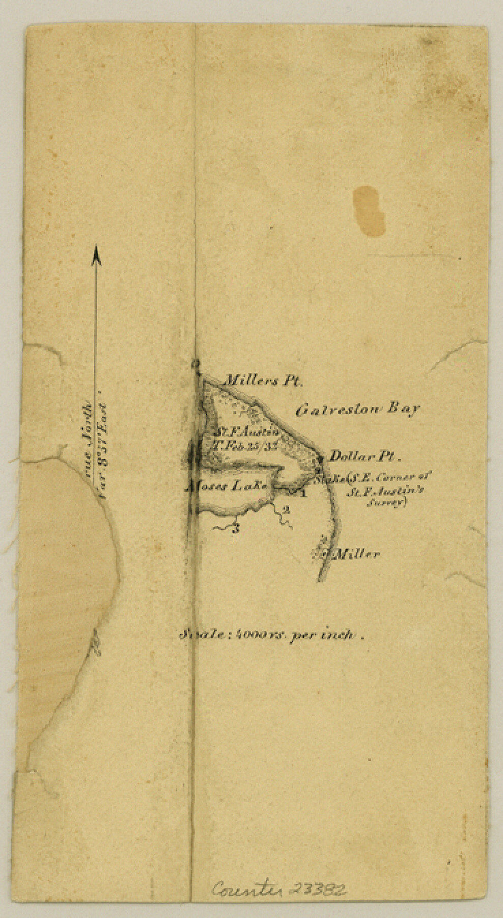
Galveston County Sketch File 15
[Office sketch of surveys on Dollar Point]
-
Map/Doc
23382
-
Collection
General Map Collection
-
Counties
Galveston
-
Subjects
Surveying Sketch File
-
Height x Width
6.7 x 3.7 inches
17.0 x 9.4 cm
-
Medium
paper, manuscript
-
Scale
1:4000
-
Features
Millers Point
Galveston Bay
Dollar Point
Moses Lake
Part of: General Map Collection
Map of the City of Corsicana (Navarro County) Texas

Print $40.00
- Digital $50.00
Map of the City of Corsicana (Navarro County) Texas
1963
Size 43.2 x 92.3 inches
Map/Doc 93673
Real County Working Sketch 49

Print $20.00
- Digital $50.00
Real County Working Sketch 49
1957
Size 25.9 x 25.7 inches
Map/Doc 71941
Coleman County Working Sketch 20

Print $20.00
- Digital $50.00
Coleman County Working Sketch 20
1953
Size 32.7 x 41.9 inches
Map/Doc 68086

Flight Mission No. CRC-4R, Frame 176, Chambers County

Print $20.00
- Digital $50.00
Flight Mission No. CRC-4R, Frame 176, Chambers County
1956
Size 18.6 x 22.3 inches
Map/Doc 84927
Hill County Working Sketch 5

Print $20.00
- Digital $50.00
Hill County Working Sketch 5
2008
Size 32.2 x 31.6 inches
Map/Doc 89013
Midland County Sketch File 8

Print $20.00
- Digital $50.00
Midland County Sketch File 8
1933
Size 17.5 x 21.6 inches
Map/Doc 12084
Comanche County Sketch File 8

Print $4.00
- Digital $50.00
Comanche County Sketch File 8
1853
Size 13.1 x 8.2 inches
Map/Doc 19066
Rains County Working Sketch 10

Print $20.00
- Digital $50.00
Rains County Working Sketch 10
1998
Size 36.1 x 34.7 inches
Map/Doc 71836
Lampasas County Sketch File 22

Print $2.00
- Digital $50.00
Lampasas County Sketch File 22
2007
Size 14.0 x 8.5 inches
Map/Doc 93653

Jackson County Rolled Sketch 9

Print $40.00
- Digital $50.00
Jackson County Rolled Sketch 9
1941
Size 50.7 x 32.1 inches
Map/Doc 9258
You may also like
Anderson County Sketch File 13

Print $10.00
- Digital $50.00
Anderson County Sketch File 13
1856
Size 8.1 x 8.3 inches
Map/Doc 12774
Brewster County Rolled Sketch 75

Print $20.00
- Digital $50.00
Brewster County Rolled Sketch 75
1941
Size 31.5 x 36.9 inches
Map/Doc 8492
Flight Mission No. DAG-24K, Frame 48, Matagorda County

Print $20.00
- Digital $50.00
Flight Mission No. DAG-24K, Frame 48, Matagorda County
1953
Size 18.5 x 22.1 inches
Map/Doc 86535
Dawson County Sketch File 10

Print $4.00
- Digital $50.00
Dawson County Sketch File 10
1927
Size 11.4 x 8.8 inches
Map/Doc 20544
Flight Mission No. CRK-8P, Frame 123, Refugio County

Print $20.00
- Digital $50.00
Flight Mission No. CRK-8P, Frame 123, Refugio County
1956
Size 18.4 x 22.1 inches
Map/Doc 86978
Reagan County Rolled Sketch 8

Print $20.00
- Digital $50.00
Reagan County Rolled Sketch 8
Size 30.2 x 26.7 inches
Map/Doc 7436
Lubbock County Lines

Print $20.00
- Digital $50.00
Lubbock County Lines
1892
Size 22.7 x 22.6 inches
Map/Doc 91308
Morris County Rolled Sketch 2A

Print $20.00
- Digital $50.00
Morris County Rolled Sketch 2A
Size 36.0 x 25.0 inches
Map/Doc 10236
Sketch Showing Township 5 North, T. & P. RR. Surveys, Borden and Dawson Counties, Texas

Print $20.00
- Digital $50.00
Sketch Showing Township 5 North, T. & P. RR. Surveys, Borden and Dawson Counties, Texas
Size 24.7 x 36.0 inches
Map/Doc 90636
Lavaca County Rolled Sketch 4

Print $20.00
- Digital $50.00
Lavaca County Rolled Sketch 4
1961
Size 43.6 x 37.1 inches
Map/Doc 9420
Ward County Rolled Sketch 1

Print $20.00
- Digital $50.00
Ward County Rolled Sketch 1
1888
Size 41.7 x 11.6 inches
Map/Doc 76166
Atascosa County Sketch File 23

Print $40.00
- Digital $50.00
Atascosa County Sketch File 23
Size 17.1 x 21.2 inches
Map/Doc 10860