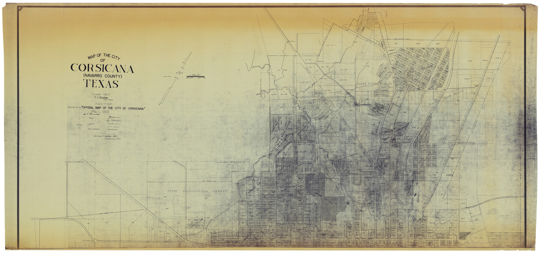
Map of the City of Corsicana (Navarro County) Texas
North half
-
Map/Doc
93673
-
Collection
General Map Collection
-
Object Dates
1963 (Creation Date)
2014/4/8 (File Date)
-
People and Organizations
F.V. Blucher (Compiler)
F.V. Blucher (Surveyor/Engineer)
-
Counties
Navarro
-
Subjects
City
-
Height x Width
43.2 x 92.3 inches
109.7 x 234.4 cm
-
Comments
Reflects revisions through December 1963. See map number 93674 for south half of this map.
Part of: General Map Collection
Bexar County Sketch File 36a

Print $10.00
- Digital $50.00
Bexar County Sketch File 36a
1873
Size 11.3 x 8.8 inches
Map/Doc 14507
Victoria County Rolled Sketch 7

Print $40.00
- Digital $50.00
Victoria County Rolled Sketch 7
1945
Size 54.2 x 16.3 inches
Map/Doc 10098
Flight Mission No. BRE-2P, Frame 20, Nueces County

Print $20.00
- Digital $50.00
Flight Mission No. BRE-2P, Frame 20, Nueces County
1956
Size 17.1 x 19.8 inches
Map/Doc 86729
Lake Corpus Christi and a city map of Mathis, Texas [Verso]
![94171, Lake Corpus Christi and a city map of Mathis, Texas [Verso], General Map Collection](https://historictexasmaps.com/wmedia_w700/maps/94171.tif.jpg)
Lake Corpus Christi and a city map of Mathis, Texas [Verso]
1984
Size 29.3 x 22.9 inches
Map/Doc 94171
Webb County Working Sketch 18

Print $20.00
- Digital $50.00
Webb County Working Sketch 18
1923
Size 18.6 x 12.8 inches
Map/Doc 72383
Chambers County Sketch File 56

Print $7.00
- Digital $50.00
Chambers County Sketch File 56
Size 14.8 x 8.7 inches
Map/Doc 18099
[Right of Way Map, Belton Branch of the M.K.&T. RR.]
![64224, [Right of Way Map, Belton Branch of the M.K.&T. RR.], General Map Collection](https://historictexasmaps.com/wmedia_w700/maps/64224.tif.jpg)
Print $20.00
- Digital $50.00
[Right of Way Map, Belton Branch of the M.K.&T. RR.]
1896
Size 7.1 x 20.6 inches
Map/Doc 64224
State of Texas, Plate 1: Surface-Water Development, Exisiting Reservoirs and Reservoir Sites

Print $20.00
- Digital $50.00
State of Texas, Plate 1: Surface-Water Development, Exisiting Reservoirs and Reservoir Sites
1984
Size 17.8 x 18.1 inches
Map/Doc 3128
Concho County Rolled Sketch 1

Print $20.00
- Digital $50.00
Concho County Rolled Sketch 1
1945
Size 19.5 x 25.0 inches
Map/Doc 5543
Aransas County NRC Article 33.136 Sketch 9

Print $24.00
- Digital $50.00
Aransas County NRC Article 33.136 Sketch 9
2013
Size 24.0 x 36.0 inches
Map/Doc 94469

Rio Grande, Run Sheet

Print $2.00
- Digital $50.00
Rio Grande, Run Sheet
1931
Size 17.0 x 14.3 inches
Map/Doc 65120
You may also like
Houston Ship Channel, Alexander Island to Carpenter Bayou

Print $40.00
- Digital $50.00
Houston Ship Channel, Alexander Island to Carpenter Bayou
1992
Size 36.0 x 49.4 inches
Map/Doc 69918
Presidio County Rolled Sketch 116

Print $20.00
- Digital $50.00
Presidio County Rolled Sketch 116
1981
Size 30.9 x 25.0 inches
Map/Doc 9795

Flight Mission No. BQY-4M, Frame 67, Harris County

Print $20.00
- Digital $50.00
Flight Mission No. BQY-4M, Frame 67, Harris County
1953
Size 18.7 x 22.4 inches
Map/Doc 85276
Flight Mission No. CGI-3N, Frame 103, Cameron County

Print $20.00
- Digital $50.00
Flight Mission No. CGI-3N, Frame 103, Cameron County
1954
Size 18.4 x 22.2 inches
Map/Doc 84583
Brewster County Working Sketch 39

Print $20.00
- Digital $50.00
Brewster County Working Sketch 39
1944
Size 26.8 x 37.5 inches
Map/Doc 67573
Mills County Boundary File 3a

Print $48.00
- Digital $50.00
Mills County Boundary File 3a
Size 14.2 x 8.8 inches
Map/Doc 57287
Map of Smith County

Print $20.00
- Digital $50.00
Map of Smith County
1872
Size 19.2 x 19.3 inches
Map/Doc 4039
Louisiana and Texas Intracoastal Waterway

Print $20.00
- Digital $50.00
Louisiana and Texas Intracoastal Waterway
1929
Size 13.8 x 19.9 inches
Map/Doc 83341
Brewster County Working Sketch 80

Print $20.00
- Digital $50.00
Brewster County Working Sketch 80
1972
Size 44.3 x 39.1 inches
Map/Doc 67680
Kerr County Sketch File 7

Print $4.00
- Digital $50.00
Kerr County Sketch File 7
1881
Size 8.8 x 15.7 inches
Map/Doc 28869
General Highway Map, Shelby County, Texas

Print $20.00
General Highway Map, Shelby County, Texas
1961
Size 18.1 x 24.9 inches
Map/Doc 79652