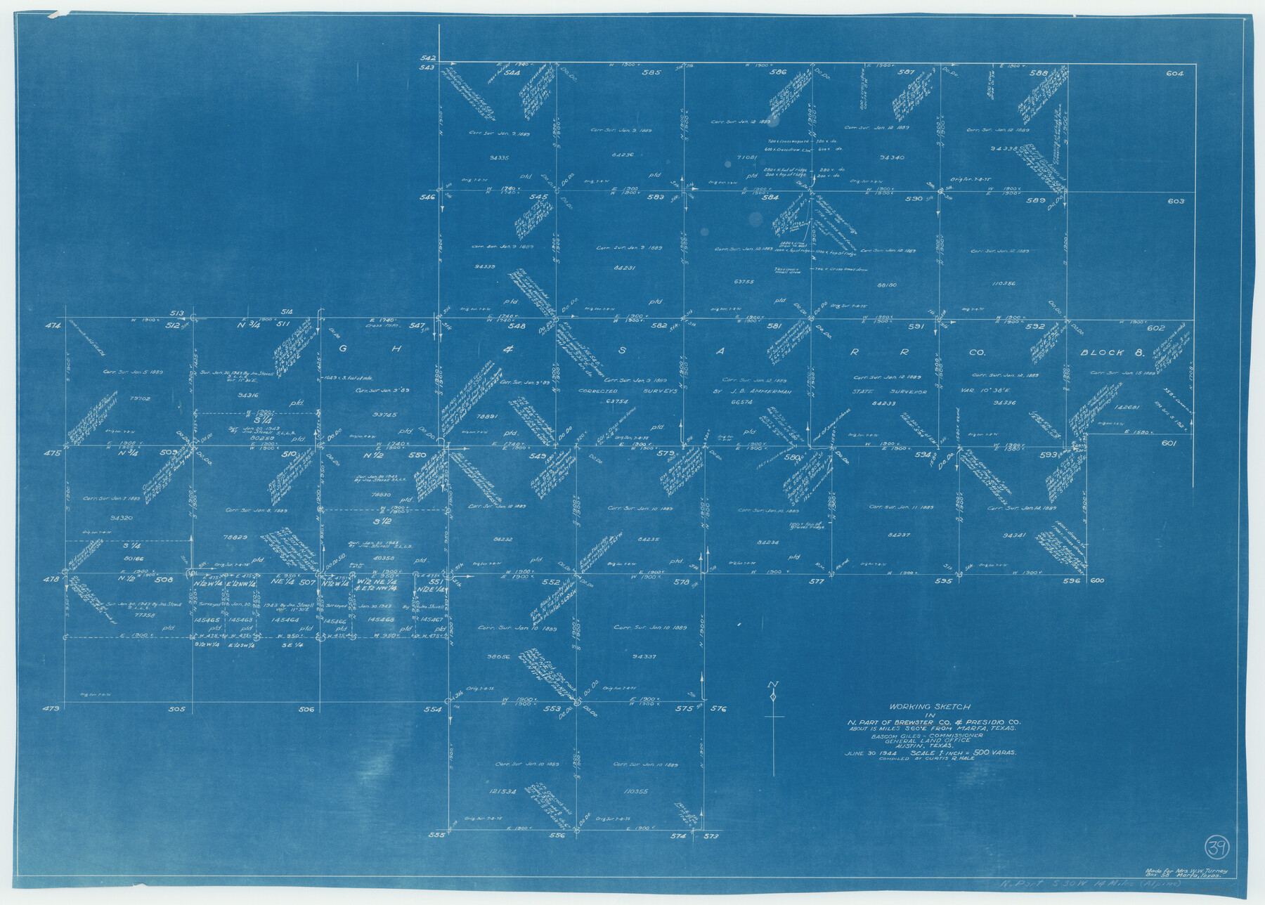
Brewster County Working Sketch 39
-
Map/Doc
67573
-
Collection
General Map Collection
-
Object Dates
6/30/1944 (Creation Date)
-
People and Organizations
Curtis R. Hale (Compiler)
-
Counties
Brewster Presidio
-
Subjects
Surveying Working Sketch
-
Height x Width
26.8 x 37.5 inches
68.1 x 95.3 cm
-
Scale
1" = 500 varas
Part of: General Map Collection
Kendall County Working Sketch 21

Print $20.00
- Digital $50.00
Kendall County Working Sketch 21
1970
Size 44.7 x 23.8 inches
Map/Doc 66693
Kerr County Rolled Sketch 12

Print $20.00
- Digital $50.00
Kerr County Rolled Sketch 12
1951
Size 22.6 x 28.5 inches
Map/Doc 6497
Galveston County Sketch File 37

Print $30.00
- Digital $50.00
Galveston County Sketch File 37
1841
Size 14.3 x 8.8 inches
Map/Doc 23423

Webb County Working Sketch 92

Print $20.00
- Digital $50.00
Webb County Working Sketch 92
1988
Size 30.6 x 37.0 inches
Map/Doc 72459
Armstrong County Working Sketch 2

Print $20.00
- Digital $50.00
Armstrong County Working Sketch 2
1904
Size 29.0 x 23.4 inches
Map/Doc 67233
Brazoria County Sketch File 25

Print $8.00
- Digital $50.00
Brazoria County Sketch File 25
1875
Size 8.4 x 13.2 inches
Map/Doc 15024
Go Turnpike! Dallas-Fort Worth Turnpike (Verso)

Go Turnpike! Dallas-Fort Worth Turnpike (Verso)
1963
Size 11.2 x 17.2 inches
Map/Doc 94178
San Patricio County Rolled Sketch 52

Print $20.00
- Digital $50.00
San Patricio County Rolled Sketch 52
1994
Size 36.7 x 39.4 inches
Map/Doc 7737
Castro County Rolled Sketch 14

Print $20.00
- Digital $50.00
Castro County Rolled Sketch 14
1965
Size 47.6 x 43.5 inches
Map/Doc 8608
Atascosa County Sketch File 10

Print $4.00
- Digital $50.00
Atascosa County Sketch File 10
Size 12.1 x 7.7 inches
Map/Doc 13765
Live Oak County Sketch File 21

Print $26.00
- Digital $50.00
Live Oak County Sketch File 21
1912
Size 16.8 x 8.0 inches
Map/Doc 30297
You may also like
Titus County Boundary File 4

Print $18.00
- Digital $50.00
Titus County Boundary File 4
Size 9.3 x 7.8 inches
Map/Doc 59303
Edwards County Working Sketch 105

Print $40.00
- Digital $50.00
Edwards County Working Sketch 105
1972
Size 54.9 x 36.2 inches
Map/Doc 62186
Lamar County Sketch File 10

Print $4.00
- Digital $50.00
Lamar County Sketch File 10
1872
Size 8.1 x 9.9 inches
Map/Doc 29293
Van Zandt County Sketch File 20

Print $4.00
- Digital $50.00
Van Zandt County Sketch File 20
1858
Size 12.1 x 7.9 inches
Map/Doc 39426
Kendall County Sketch File 13

Print $4.00
- Digital $50.00
Kendall County Sketch File 13
1860
Size 10.1 x 8.0 inches
Map/Doc 28699
Proceedings of the International Boundary Commission, United States and Mexico, American Section, Elimination of Fifty-Seven Old Bancos Specifically Described in the Treaty of 1905

Proceedings of the International Boundary Commission, United States and Mexico, American Section, Elimination of Fifty-Seven Old Bancos Specifically Described in the Treaty of 1905
Size 12.2 x 9.3 inches
Map/Doc 83124
Presidio County Working Sketch 86

Print $20.00
- Digital $50.00
Presidio County Working Sketch 86
1971
Size 45.4 x 42.2 inches
Map/Doc 71763
Map of Coryell Co.

Print $40.00
- Digital $50.00
Map of Coryell Co.
1896
Size 49.8 x 43.1 inches
Map/Doc 4921
Potter County Sketch File 9

Print $20.00
- Digital $50.00
Potter County Sketch File 9
1887
Size 12.5 x 17.7 inches
Map/Doc 12198
[Surveys in the Bexar District along the Pedernales River]
![177, [Surveys in the Bexar District along the Pedernales River], General Map Collection](https://historictexasmaps.com/wmedia_w700/maps/177.tif.jpg)
Print $20.00
- Digital $50.00
[Surveys in the Bexar District along the Pedernales River]
1845
Size 18.7 x 11.0 inches
Map/Doc 177
Travis County Working Sketch 67

Print $20.00
- Digital $50.00
Travis County Working Sketch 67
2017
Size 24.6 x 36.6 inches
Map/Doc 94123
Culberson Co.

Print $40.00
- Digital $50.00
Culberson Co.
1908
Size 50.2 x 33.7 inches
Map/Doc 66795