Lake Corpus Christi and a city map of Mathis, Texas [Verso]
City of Mathis [Map and Business Directory]
-
Map/Doc
94171
-
Collection
General Map Collection
-
Object Dates
1984 (Creation Date)
-
People and Organizations
A.I.D. Associates, Inc. (Publisher)
A.I.D. Associates, Inc. (Printer)
James Harkins (Donor)
-
Subjects
City
-
Height x Width
29.3 x 22.9 inches
74.4 x 58.2 cm
-
Medium
paper, etching/engraving/lithograph
-
Comments
For reference/research purposes only. Features advertisements and business directory. Donated by James Harkins. See 94170 for recto.
Related maps
Lake Corpus Christi and a city map of Mathis, Texas [Recto]
![94170, Lake Corpus Christi and a city map of Mathis, Texas [Recto], General Map Collection](https://historictexasmaps.com/wmedia_w700/maps/94170.tif.jpg)
![94170, Lake Corpus Christi and a city map of Mathis, Texas [Recto], General Map Collection](https://historictexasmaps.com/wmedia_w700/maps/94170.tif.jpg)
Lake Corpus Christi and a city map of Mathis, Texas [Recto]
1984
Size 29.2 x 22.8 inches
Map/Doc 94170
Part of: General Map Collection
Kleberg County Rolled Sketch 10-29


Print $20.00
- Digital $50.00
Kleberg County Rolled Sketch 10-29
1952
Size 37.6 x 33.8 inches
Map/Doc 9373
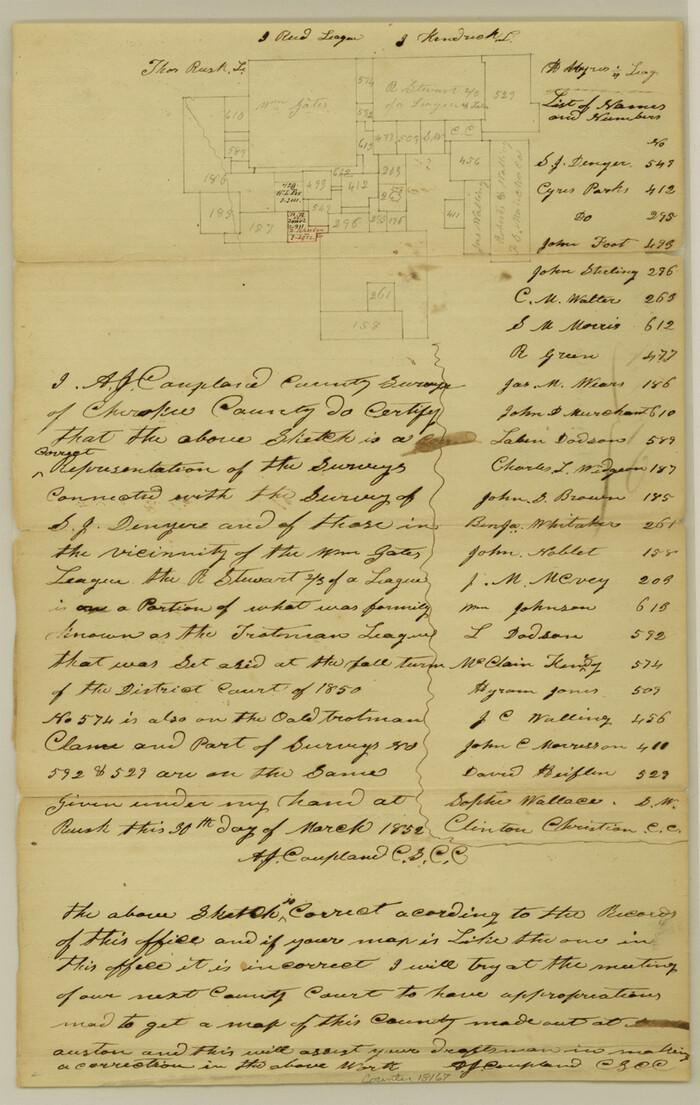
Cherokee County Sketch File 25

Print $4.00
- Digital $50.00
Cherokee County Sketch File 25
1852
Size 12.8 x 8.1 inches
Map/Doc 18167
Presidio County Rolled Sketch 28


Print $20.00
- Digital $50.00
Presidio County Rolled Sketch 28
1886
Size 25.0 x 45.8 inches
Map/Doc 76140
Kinney County Working Sketch 30


Print $40.00
- Digital $50.00
Kinney County Working Sketch 30
1959
Size 52.6 x 34.7 inches
Map/Doc 70212
Flight Mission No. CUG-1P, Frame 47, Kleberg County


Print $20.00
- Digital $50.00
Flight Mission No. CUG-1P, Frame 47, Kleberg County
1956
Size 18.7 x 22.4 inches
Map/Doc 86125
Wichita County Sketch File 22


Print $10.00
- Digital $50.00
Wichita County Sketch File 22
1911
Size 11.3 x 8.6 inches
Map/Doc 40104
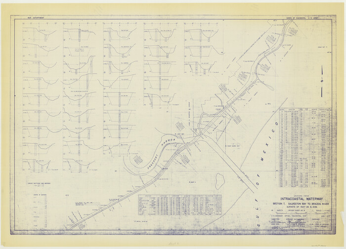
Louisiana and Texas Intracoastal Waterway, Section 7, Galveston Bay to Brazos River and Section 8, Brazos River to Matagorda Bay

Print $20.00
- Digital $50.00
Louisiana and Texas Intracoastal Waterway, Section 7, Galveston Bay to Brazos River and Section 8, Brazos River to Matagorda Bay
1937
Size 30.7 x 42.7 inches
Map/Doc 73064
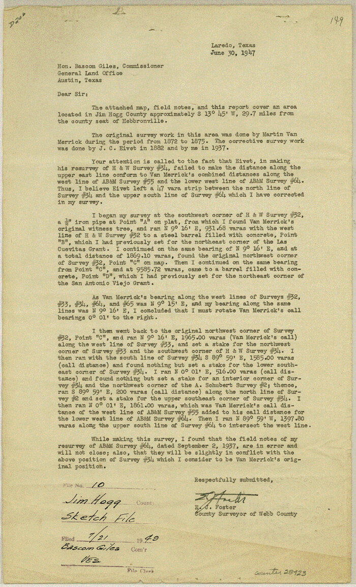
Jim Hogg County Sketch File 10

Print $22.00
- Digital $50.00
Jim Hogg County Sketch File 10
1947
Size 14.3 x 8.7 inches
Map/Doc 28423
Harris County Rolled Sketch P58
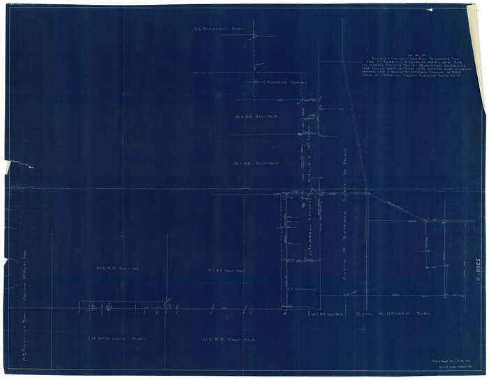

Print $20.00
- Digital $50.00
Harris County Rolled Sketch P58
1929
Size 29.4 x 37.7 inches
Map/Doc 9119
Flight Mission No. DQN-7K, Frame 8, Calhoun County
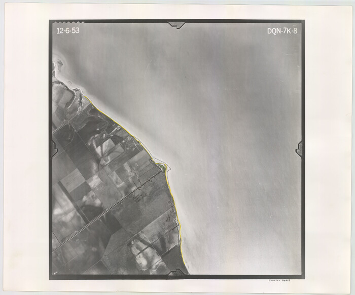

Print $20.00
- Digital $50.00
Flight Mission No. DQN-7K, Frame 8, Calhoun County
1953
Size 18.5 x 22.2 inches
Map/Doc 84459
Jeff Davis County Sketch File 30


Print $26.00
- Digital $50.00
Jeff Davis County Sketch File 30
1922
Size 14.1 x 8.5 inches
Map/Doc 28014
You may also like
[Beaumont, Sour Lake and Western Ry. Right of Way and Alignment - Frisco]
![64116, [Beaumont, Sour Lake and Western Ry. Right of Way and Alignment - Frisco], General Map Collection](https://historictexasmaps.com/wmedia_w700/maps/64116.tif.jpg)
![64116, [Beaumont, Sour Lake and Western Ry. Right of Way and Alignment - Frisco], General Map Collection](https://historictexasmaps.com/wmedia_w700/maps/64116.tif.jpg)
Print $20.00
- Digital $50.00
[Beaumont, Sour Lake and Western Ry. Right of Way and Alignment - Frisco]
1910
Size 20.3 x 46.1 inches
Map/Doc 64116
Flight Mission No. BRA-6M, Frame 142, Jefferson County
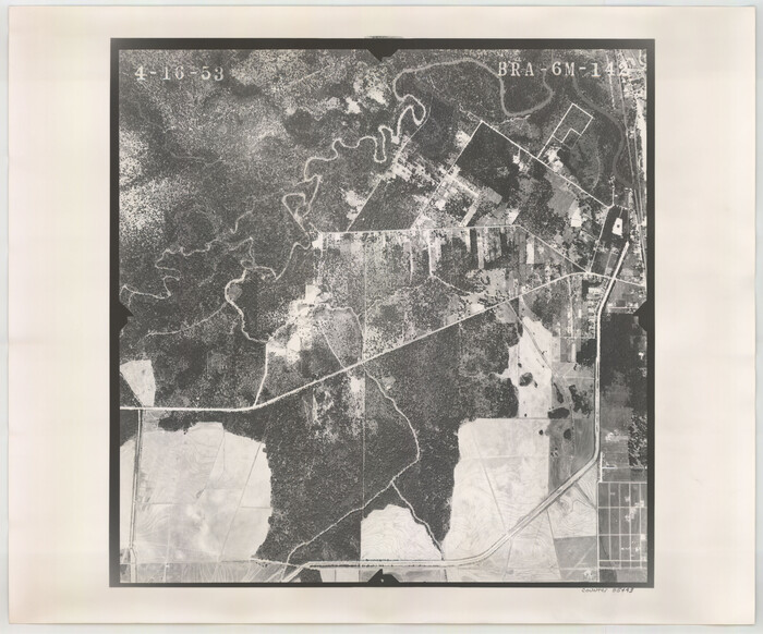

Print $20.00
- Digital $50.00
Flight Mission No. BRA-6M, Frame 142, Jefferson County
1953
Size 18.6 x 22.3 inches
Map/Doc 85443
Harris County Working Sketch 73
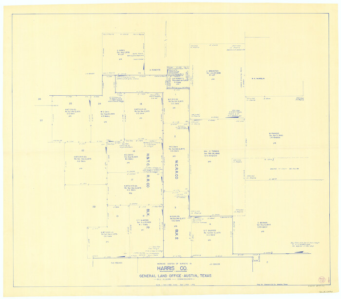

Print $20.00
- Digital $50.00
Harris County Working Sketch 73
1959
Size 33.5 x 38.1 inches
Map/Doc 65965
Flight Mission No. CGI-3N, Frame 124, Cameron County

Print $20.00
- Digital $50.00
Flight Mission No. CGI-3N, Frame 124, Cameron County
1954
Size 18.5 x 22.2 inches
Map/Doc 84597
Culberson County Working Sketch 4


Print $20.00
- Digital $50.00
Culberson County Working Sketch 4
Size 37.7 x 32.2 inches
Map/Doc 68456
Loving County Working Sketch 1

Print $20.00
- Digital $50.00
Loving County Working Sketch 1
1928
Size 30.0 x 19.7 inches
Map/Doc 70633
Fredonia or the United States of North-America; including also Cabotia, or the Canadian Provinces; the Western Territory to the Pacific Ocean; and the Northern Part of the Mexican States

Print $20.00
- Digital $50.00
Fredonia or the United States of North-America; including also Cabotia, or the Canadian Provinces; the Western Territory to the Pacific Ocean; and the Northern Part of the Mexican States
1848
Size 26.8 x 39.9 inches
Map/Doc 93879
General Highway Map, Upshur County, Gregg County, Texas


Print $20.00
General Highway Map, Upshur County, Gregg County, Texas
1939
Size 24.9 x 18.6 inches
Map/Doc 79105
General Highway Map, Lubbock County, Texas

Print $20.00
General Highway Map, Lubbock County, Texas
1961
Size 18.1 x 24.6 inches
Map/Doc 79578
Mason County Boundary File 5a


Print $40.00
- Digital $50.00
Mason County Boundary File 5a
Size 18.0 x 32.6 inches
Map/Doc 56872
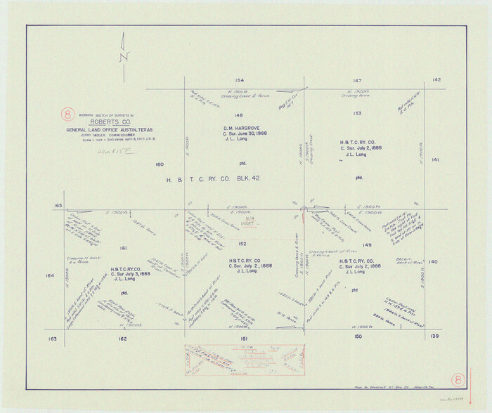
Roberts County Working Sketch 8

Print $20.00
- Digital $50.00
Roberts County Working Sketch 8
1963
Size 21.9 x 26.0 inches
Map/Doc 63534
San Patricio County Rolled Sketch 37


Print $127.00
- Digital $50.00
San Patricio County Rolled Sketch 37
Size 10.3 x 15.2 inches
Map/Doc 48888
![94171, Lake Corpus Christi and a city map of Mathis, Texas [Verso], General Map Collection](https://historictexasmaps.com/wmedia_w1800h1800/maps/94171.tif.jpg)
