Lake Corpus Christi and a city map of Mathis, Texas [Recto]
Lake Corpus Christi
-
Map/Doc
94170
-
Collection
General Map Collection
-
Object Dates
1984 (Creation Date)
-
People and Organizations
A.I.D. Associates, Inc. (Publisher)
A.I.D. Associates, Inc. (Printer)
James Harkins (Donor)
-
Subjects
City
-
Height x Width
29.2 x 22.8 inches
74.2 x 57.9 cm
-
Medium
paper, etching/engraving/lithograph
-
Comments
For reference/research purposes only. Donated by James Harkins. See 94171 for verso.
Related maps
Lake Corpus Christi and a city map of Mathis, Texas [Verso]
![94171, Lake Corpus Christi and a city map of Mathis, Texas [Verso], General Map Collection](https://historictexasmaps.com/wmedia_w700/maps/94171.tif.jpg)
![94171, Lake Corpus Christi and a city map of Mathis, Texas [Verso], General Map Collection](https://historictexasmaps.com/wmedia_w700/maps/94171.tif.jpg)
Lake Corpus Christi and a city map of Mathis, Texas [Verso]
1984
Size 29.3 x 22.9 inches
Map/Doc 94171
Part of: General Map Collection
Jackson County Aerial Photograph Index Sheet 7


Print $20.00
- Digital $50.00
Jackson County Aerial Photograph Index Sheet 7
1956
Size 21.2 x 15.8 inches
Map/Doc 83706
Terrell County Working Sketch 12
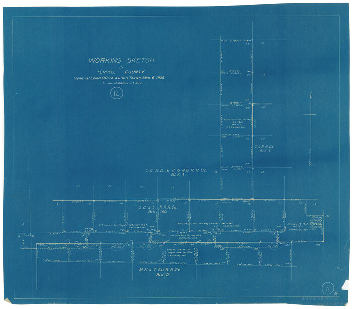

Print $20.00
- Digital $50.00
Terrell County Working Sketch 12
1926
Size 18.3 x 21.0 inches
Map/Doc 62161
Glasscock County Boundary File 2
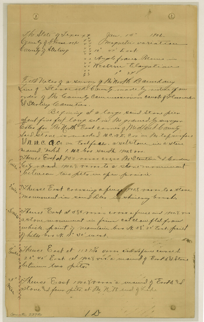

Print $14.00
- Digital $50.00
Glasscock County Boundary File 2
Size 14.4 x 9.1 inches
Map/Doc 53790
Flight Mission No. DQO-2K, Frame 142, Galveston County
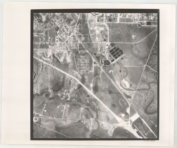

Print $20.00
- Digital $50.00
Flight Mission No. DQO-2K, Frame 142, Galveston County
1952
Size 18.8 x 22.4 inches
Map/Doc 85039
Karnes County Sketch File 8
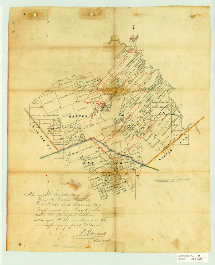

Print $78.00
- Digital $50.00
Karnes County Sketch File 8
1876
Size 12.7 x 8.2 inches
Map/Doc 28565
Goliad County Sketch File 17


Print $12.00
- Digital $50.00
Goliad County Sketch File 17
1851
Size 12.4 x 8.2 inches
Map/Doc 24249
Crockett County Rolled Sketch 60
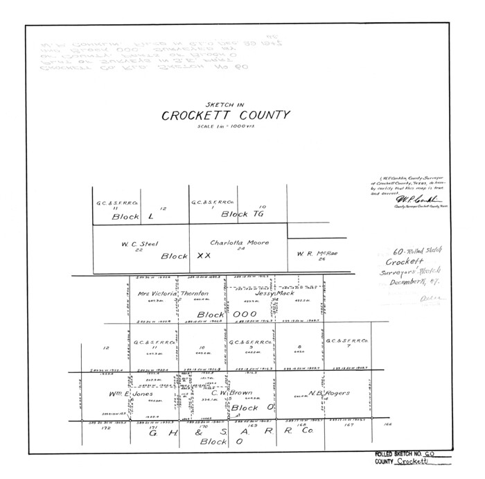

Print $20.00
- Digital $50.00
Crockett County Rolled Sketch 60
Size 18.7 x 18.9 inches
Map/Doc 5603
Fayette County
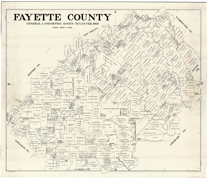

Print $40.00
- Digital $50.00
Fayette County
1920
Size 42.7 x 49.8 inches
Map/Doc 4945
Flight Mission No. BRE-2P, Frame 96, Nueces County
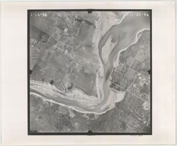

Print $20.00
- Digital $50.00
Flight Mission No. BRE-2P, Frame 96, Nueces County
1956
Size 18.4 x 22.3 inches
Map/Doc 86781
DeWitt County Sketch File 14
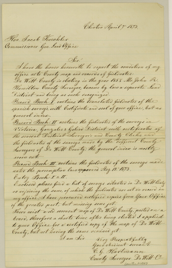

Print $8.00
- Digital $50.00
DeWitt County Sketch File 14
1873
Size 12.8 x 8.2 inches
Map/Doc 20827
Kimble County Working Sketch 91
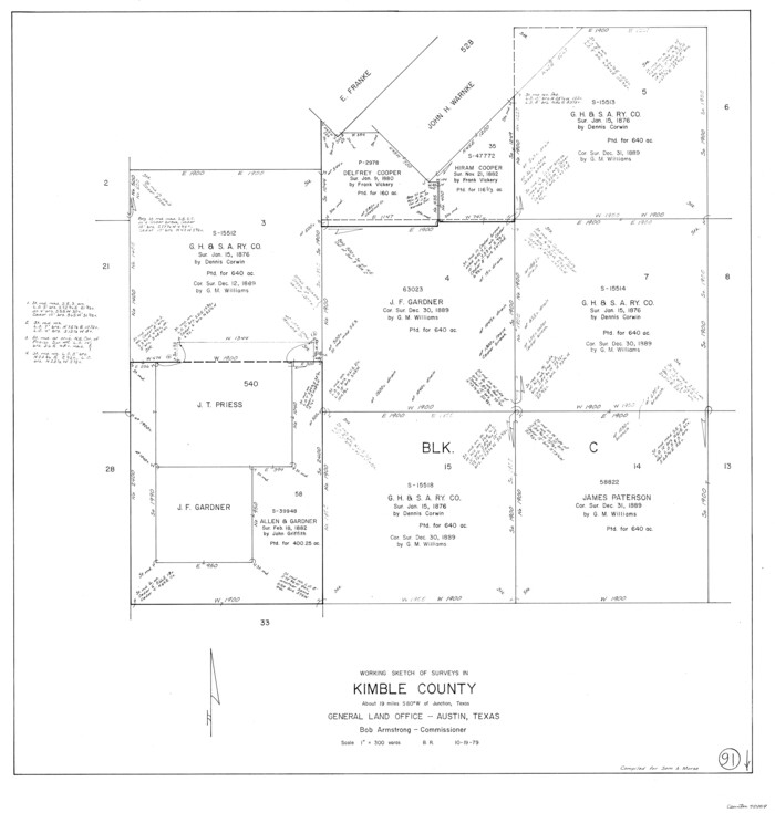

Print $20.00
- Digital $50.00
Kimble County Working Sketch 91
1979
Size 26.8 x 25.5 inches
Map/Doc 70159
Panola County Working Sketch 29


Print $20.00
- Digital $50.00
Panola County Working Sketch 29
1980
Map/Doc 71438
You may also like
Terrell County Rolled Sketch 32
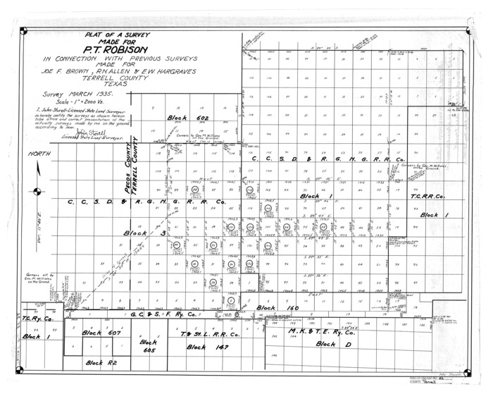

Print $20.00
- Digital $50.00
Terrell County Rolled Sketch 32
Size 20.6 x 25.4 inches
Map/Doc 7938
Map of Pecos County, Texas


Print $20.00
- Digital $50.00
Map of Pecos County, Texas
Size 18.9 x 22.8 inches
Map/Doc 91573
The Mexican Municipality of Mina. Created, April 1834
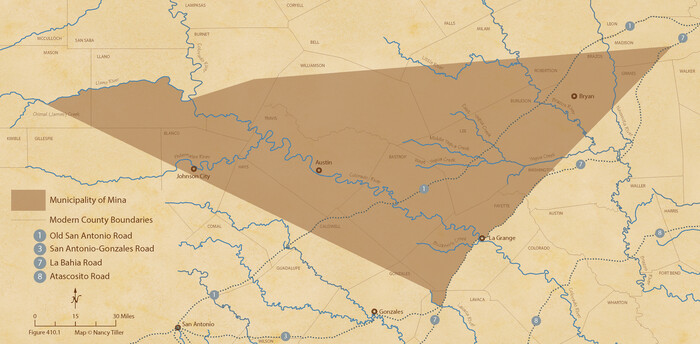

Print $20.00
The Mexican Municipality of Mina. Created, April 1834
2020
Size 10.7 x 21.7 inches
Map/Doc 96028
Rains County Working Sketch 11
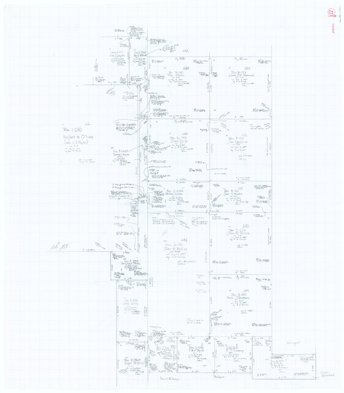

Print $20.00
- Digital $50.00
Rains County Working Sketch 11
Size 40.1 x 35.1 inches
Map/Doc 71837
[3KA and vicinity]
![90847, [3KA and vicinity], Twichell Survey Records](https://historictexasmaps.com/wmedia_w700/maps/90847-2.tif.jpg)
![90847, [3KA and vicinity], Twichell Survey Records](https://historictexasmaps.com/wmedia_w700/maps/90847-2.tif.jpg)
Print $20.00
- Digital $50.00
[3KA and vicinity]
Size 31.3 x 15.4 inches
Map/Doc 90847
[Sketch of surveys around W.T. Brewer]
![89926, [Sketch of surveys around W.T. Brewer], Twichell Survey Records](https://historictexasmaps.com/wmedia_w700/maps/89926-1.tif.jpg)
![89926, [Sketch of surveys around W.T. Brewer], Twichell Survey Records](https://historictexasmaps.com/wmedia_w700/maps/89926-1.tif.jpg)
Print $40.00
- Digital $50.00
[Sketch of surveys around W.T. Brewer]
Size 37.0 x 48.7 inches
Map/Doc 89926
Marion County Boundary File 2


Print $6.00
- Digital $50.00
Marion County Boundary File 2
Size 11.2 x 8.7 inches
Map/Doc 56818
Knox County Rolled Sketch 10


Print $40.00
- Digital $50.00
Knox County Rolled Sketch 10
Size 56.6 x 35.6 inches
Map/Doc 10718
Hutchinson County Rolled Sketch 43


Print $40.00
- Digital $50.00
Hutchinson County Rolled Sketch 43
1992
Size 40.5 x 49.4 inches
Map/Doc 6312
Liberty County Working Sketch 32


Print $20.00
- Digital $50.00
Liberty County Working Sketch 32
1945
Size 29.1 x 46.3 inches
Map/Doc 70491
Travis County Sketch File 40


Print $20.00
- Digital $50.00
Travis County Sketch File 40
1928
Size 17.7 x 22.8 inches
Map/Doc 12464
![94170, Lake Corpus Christi and a city map of Mathis, Texas [Recto], General Map Collection](https://historictexasmaps.com/wmedia_w1800h1800/maps/94170.tif.jpg)
