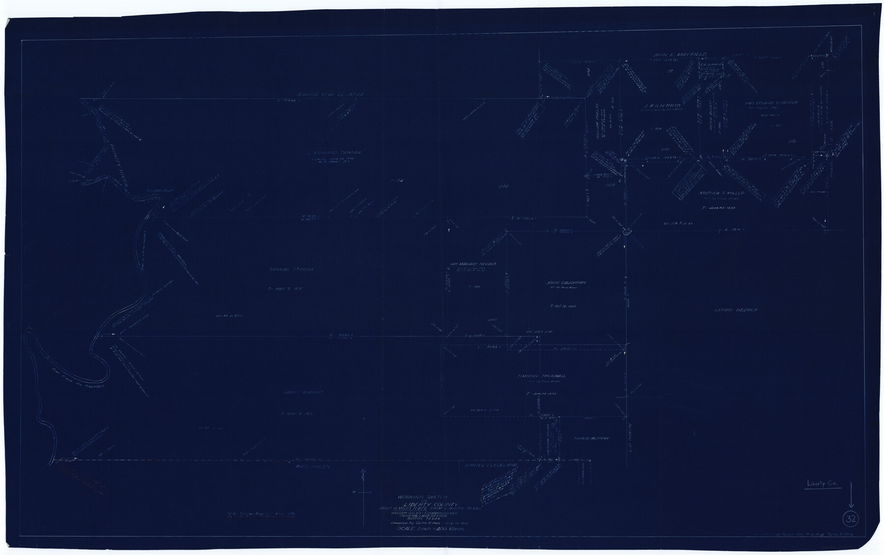
Liberty County Working Sketch 32
-
Map/Doc
70491
-
Collection
General Map Collection
-
Object Dates
7/13/1945 (Creation Date)
-
People and Organizations
Curtis R. Hale (Draftsman)
-
Counties
Liberty
-
Subjects
Surveying Working Sketch
-
Height x Width
29.1 x 46.3 inches
73.9 x 117.6 cm
-
Scale
1" = 400 varas
Part of: General Map Collection
Flight Mission No. BRA-7M, Frame 31, Jefferson County

Print $20.00
- Digital $50.00
Flight Mission No. BRA-7M, Frame 31, Jefferson County
1953
Size 18.5 x 22.3 inches
Map/Doc 85482
Flight Mission No. DIX-6P, Frame 135, Aransas County

Print $20.00
- Digital $50.00
Flight Mission No. DIX-6P, Frame 135, Aransas County
1956
Size 19.5 x 23.0 inches
Map/Doc 83841
Liberty County Working Sketch 69

Print $20.00
- Digital $50.00
Liberty County Working Sketch 69
1972
Size 29.8 x 41.8 inches
Map/Doc 70529
Flight Mission No. CGI-3N, Frame 66, Cameron County

Print $20.00
- Digital $50.00
Flight Mission No. CGI-3N, Frame 66, Cameron County
1954
Size 18.6 x 22.1 inches
Map/Doc 84560
[Kansas City, Mexico & Orient] Plat Showing Sections 10 & 17, Block 351, GC & SF Ry. Survey, Presidio County, Texas
![64270, [Kansas City, Mexico & Orient] Plat Showing Sections 10 & 17, Block 351, GC & SF Ry. Survey, Presidio County, Texas, General Map Collection](https://historictexasmaps.com/wmedia_w700/maps/64270-1.tif.jpg)
Print $20.00
- Digital $50.00
[Kansas City, Mexico & Orient] Plat Showing Sections 10 & 17, Block 351, GC & SF Ry. Survey, Presidio County, Texas
Size 17.6 x 16.0 inches
Map/Doc 64270
Karnes County

Print $20.00
- Digital $50.00
Karnes County
1921
Size 44.3 x 39.6 inches
Map/Doc 95551
Trinity County Sketch File 22

Print $23.00
- Digital $50.00
Trinity County Sketch File 22
1877
Size 9.4 x 12.3 inches
Map/Doc 38550
Edwards County Working Sketch 38

Print $20.00
- Digital $50.00
Edwards County Working Sketch 38
1948
Size 28.4 x 43.9 inches
Map/Doc 68914
Wharton County Rolled Sketch 7

Print $20.00
- Digital $50.00
Wharton County Rolled Sketch 7
Size 38.0 x 26.9 inches
Map/Doc 8231
Shelby County Rolled Sketch 5

Print $20.00
- Digital $50.00
Shelby County Rolled Sketch 5
1942
Size 37.9 x 43.7 inches
Map/Doc 9921
Gaines County Sketch File 22

Print $20.00
- Digital $50.00
Gaines County Sketch File 22
1962
Size 18.1 x 23.4 inches
Map/Doc 11528
Wichita County Working Sketch Graphic Index

Print $20.00
- Digital $50.00
Wichita County Working Sketch Graphic Index
1971
Size 36.7 x 38.5 inches
Map/Doc 76739
You may also like
[H. & G.N. RR. Co. Block 4 and vicinity]
![92160, [H. & G.N. RR. Co. Block 4 and vicinity], Twichell Survey Records](https://historictexasmaps.com/wmedia_w700/maps/92160-1.tif.jpg)
Print $20.00
- Digital $50.00
[H. & G.N. RR. Co. Block 4 and vicinity]
Size 40.8 x 37.4 inches
Map/Doc 92160
Brazoria County Working Sketch 46

Print $40.00
- Digital $50.00
Brazoria County Working Sketch 46
1988
Size 37.3 x 48.7 inches
Map/Doc 67531
General Highway Map. Detail of Cities and Towns in Grimes County, Texas

Print $20.00
General Highway Map. Detail of Cities and Towns in Grimes County, Texas
1961
Size 18.2 x 24.8 inches
Map/Doc 79491
Goliad County Sketch File X

Print $10.00
- Digital $50.00
Goliad County Sketch File X
1893
Size 8.3 x 12.8 inches
Map/Doc 24332
Webb County Sketch File B

Print $20.00
- Digital $50.00
Webb County Sketch File B
Size 15.9 x 13.7 inches
Map/Doc 12605
Gregg County Rolled Sketch RGA

Print $46.00
- Digital $50.00
Gregg County Rolled Sketch RGA
1933
Size 34.3 x 30.6 inches
Map/Doc 9026

Intracoastal Waterway in Texas - Corpus Christi to Point Isabel including Arroyo Colorado to Mo. Pac. R.R. Bridge Near Harlingen

Print $20.00
- Digital $50.00
Intracoastal Waterway in Texas - Corpus Christi to Point Isabel including Arroyo Colorado to Mo. Pac. R.R. Bridge Near Harlingen
1933
Size 28.1 x 41.2 inches
Map/Doc 61845
Webb County Working Sketch 17

Print $20.00
- Digital $50.00
Webb County Working Sketch 17
1923
Size 13.0 x 20.5 inches
Map/Doc 72382
[Surveys in the Jefferson District: G. A. Patillo's league, Big Sandy, Sabine Bay]
![69727, [Surveys in the Jefferson District: G. A. Patillo's league, Big Sandy, Sabine Bay], General Map Collection](https://historictexasmaps.com/wmedia_w700/maps/69727-1.tif.jpg)
Print $20.00
- Digital $50.00
[Surveys in the Jefferson District: G. A. Patillo's league, Big Sandy, Sabine Bay]
1846
Size 14.4 x 20.9 inches
Map/Doc 69727
Winkler County Working Sketch 21

Print $20.00
- Digital $50.00
Winkler County Working Sketch 21
2015
Size 33.2 x 45.7 inches
Map/Doc 93728
Dickens County Sketch File 27

Print $25.00
- Digital $50.00
Dickens County Sketch File 27
Size 14.4 x 8.9 inches
Map/Doc 20993