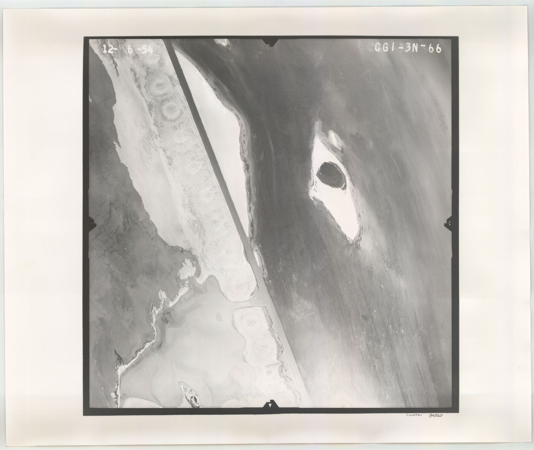
Flight Mission No. CGI-3N, Frame 66, Cameron County
CGI-3N-66
-
Map/Doc
84560
-
Collection
General Map Collection
-
Object Dates
1954/12/6 (Creation Date)
-
People and Organizations
U. S. Department of Agriculture (Publisher)
-
Counties
Cameron
-
Subjects
Aerial Photograph
-
Height x Width
18.6 x 22.1 inches
47.2 x 56.1 cm
-
Comments
Flown by Puckett Aerial Surveys, Inc. of Jackson, Mississippi.
Part of: General Map Collection
Montgomery County Working Sketch 47

Print $20.00
- Digital $50.00
Montgomery County Working Sketch 47
1958
Size 25.5 x 18.8 inches
Map/Doc 71154
Southern Part of Laguna Madre

Print $20.00
- Digital $50.00
Southern Part of Laguna Madre
1966
Size 44.3 x 34.8 inches
Map/Doc 73540
[Bastrop District]
![83518, [Bastrop District], General Map Collection](https://historictexasmaps.com/wmedia_w700/maps/83518-1.tif.jpg)
Print $20.00
- Digital $50.00
[Bastrop District]
1838
Size 19.5 x 44.2 inches
Map/Doc 83518
Flight Mission No. BRE-1P, Frame 67, Nueces County

Print $20.00
- Digital $50.00
Flight Mission No. BRE-1P, Frame 67, Nueces County
1956
Size 18.7 x 22.4 inches
Map/Doc 86649
Presidio County Sketch File 86

Print $4.00
- Digital $50.00
Presidio County Sketch File 86
1950
Size 16.1 x 21.8 inches
Map/Doc 11724
Oldham County Rolled Sketch 11

Print $40.00
- Digital $50.00
Oldham County Rolled Sketch 11
Size 48.6 x 39.9 inches
Map/Doc 10641
Hutchinson County Sketch File 47

Print $28.00
- Digital $50.00
Hutchinson County Sketch File 47
1958
Size 8.3 x 10.1 inches
Map/Doc 27390
Goliad County

Print $20.00
- Digital $50.00
Goliad County
1946
Size 40.9 x 43.6 inches
Map/Doc 77291
Eastland County Working Sketch 60

Print $20.00
- Digital $50.00
Eastland County Working Sketch 60
1989
Size 25.5 x 19.5 inches
Map/Doc 68841
Clay County Sketch File 1a

Print $25.00
- Digital $50.00
Clay County Sketch File 1a
1860
Size 8.8 x 8.2 inches
Map/Doc 18387
Flight Mission No. CGI-1N, Frame 135, Cameron County

Print $20.00
- Digital $50.00
Flight Mission No. CGI-1N, Frame 135, Cameron County
1955
Size 17.2 x 18.7 inches
Map/Doc 84491
[Map of Nacogdoches County]
![10784, [Map of Nacogdoches County], General Map Collection](https://historictexasmaps.com/wmedia_w700/maps/10784-1.tif.jpg)
Print $40.00
- Digital $50.00
[Map of Nacogdoches County]
1840
Size 79.3 x 69.8 inches
Map/Doc 10784
You may also like
The State of Texas vs. Chas. J. Canda, et al, T. & P. Ry. Co., No. 10351

Print $522.00
- Digital $50.00
The State of Texas vs. Chas. J. Canda, et al, T. & P. Ry. Co., No. 10351
1893
Size 10.0 x 17.0 inches
Map/Doc 3048
Right-of-Way and Track Map, Houston and Brazos Valley Ry. Co. operated by the Houston and Brazos Valley Ry. Co.

Print $40.00
- Digital $50.00
Right-of-Way and Track Map, Houston and Brazos Valley Ry. Co. operated by the Houston and Brazos Valley Ry. Co.
1918
Size 24.9 x 56.4 inches
Map/Doc 64602
[Valdez and Martinez grants in the Goliad District]
![54, [Valdez and Martinez grants in the Goliad District], General Map Collection](https://historictexasmaps.com/wmedia_w700/maps/54.tif.jpg)
Print $3.00
- Digital $50.00
[Valdez and Martinez grants in the Goliad District]
1842
Size 10.6 x 9.5 inches
Map/Doc 54
Galveston County NRC Article 33.136 Sketch 54

Print $22.00
- Digital $50.00
Galveston County NRC Article 33.136 Sketch 54
2008
Size 24.0 x 36.0 inches
Map/Doc 94848
Brewster County Rolled Sketch 121A

Print $40.00
- Digital $50.00
Brewster County Rolled Sketch 121A
1946
Size 37.4 x 54.5 inches
Map/Doc 8518
Sterling County

Print $40.00
- Digital $50.00
Sterling County
1926
Size 48.5 x 34.7 inches
Map/Doc 63048
Sutton County Sketch File JAC

Print $20.00
- Digital $50.00
Sutton County Sketch File JAC
Size 24.5 x 23.4 inches
Map/Doc 12398
Flight Mission No. DQN-1K, Frame 108, Calhoun County

Print $20.00
- Digital $50.00
Flight Mission No. DQN-1K, Frame 108, Calhoun County
1953
Size 18.4 x 22.1 inches
Map/Doc 84175
Starr County Working Sketch 1

Print $40.00
- Digital $50.00
Starr County Working Sketch 1
Size 26.7 x 65.5 inches
Map/Doc 63917
Map of Wise County

Print $20.00
- Digital $50.00
Map of Wise County
1896
Size 41.4 x 38.7 inches
Map/Doc 63134
[Surveys in the Nacogdoches District, from the Sabine River to Cowleach Fork]
![282, [Surveys in the Nacogdoches District, from the Sabine River to Cowleach Fork], General Map Collection](https://historictexasmaps.com/wmedia_w700/maps/282.tif.jpg)
Print $3.00
- Digital $50.00
[Surveys in the Nacogdoches District, from the Sabine River to Cowleach Fork]
Size 15.6 x 11.5 inches
Map/Doc 282
Van Zandt County Working Sketch 7

Print $20.00
- Digital $50.00
Van Zandt County Working Sketch 7
1953
Size 17.7 x 18.1 inches
Map/Doc 72257