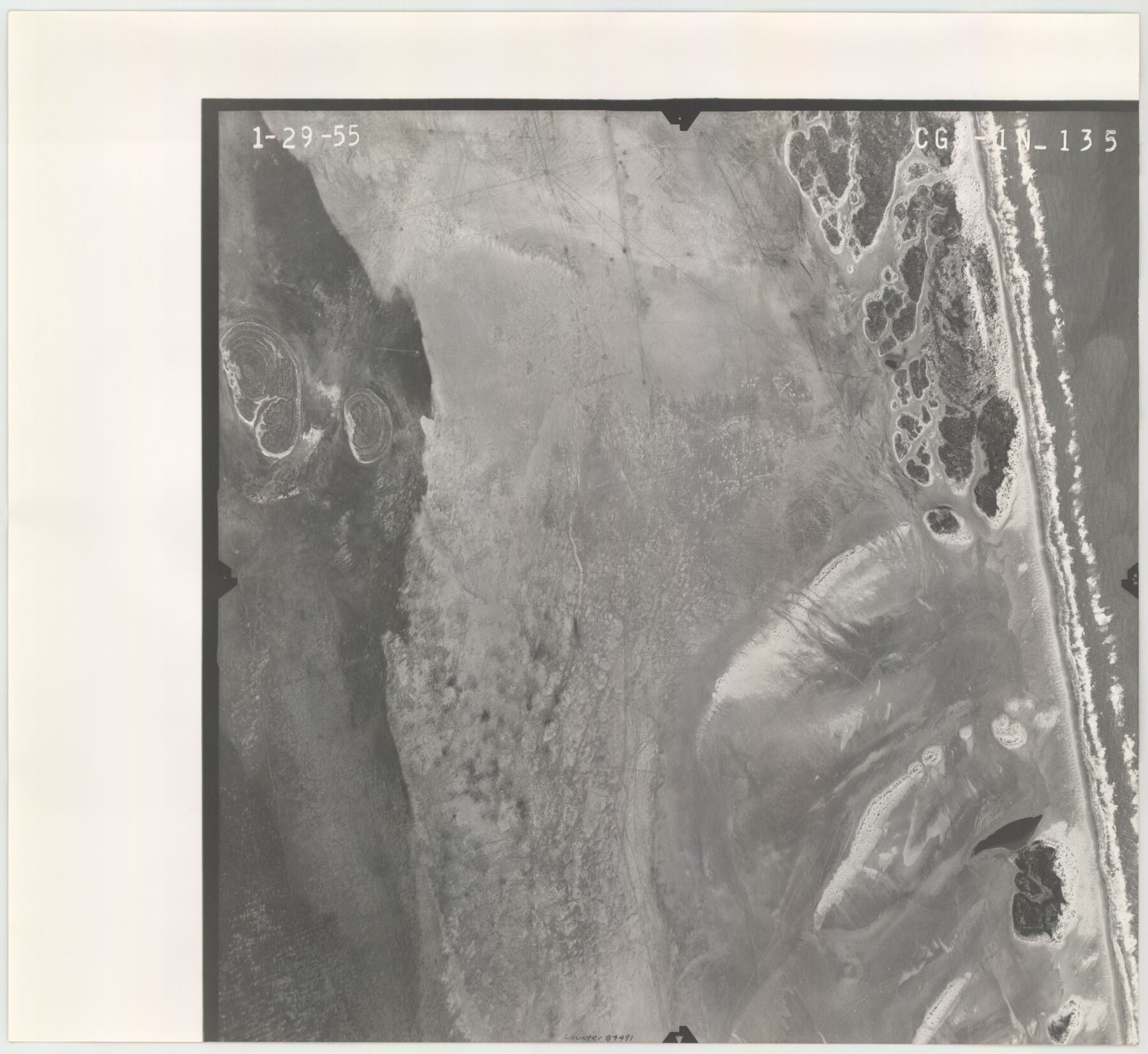
Flight Mission No. CGI-1N, Frame 135, Cameron County
CGI-1N-135
-
Map/Doc
84491
-
Collection
General Map Collection
-
Object Dates
1955/1/29 (Creation Date)
-
People and Organizations
U. S. Department of Agriculture (Publisher)
-
Counties
Cameron
-
Subjects
Aerial Photograph
-
Height x Width
17.2 x 18.7 inches
43.7 x 47.5 cm
-
Comments
Flown by Puckett Aerial Surveys, Inc. of Jackson, Mississippi.
Part of: General Map Collection
Kleberg County NRC Article 33.136 Sketch 1

Print $143.00
- Digital $50.00
Kleberg County NRC Article 33.136 Sketch 1
2000
Size 18.5 x 23.6 inches
Map/Doc 6555
Tom Green County Rolled Sketch 6

Print $20.00
- Digital $50.00
Tom Green County Rolled Sketch 6
Size 21.6 x 17.1 inches
Map/Doc 7995
Flight Mission No. DIX-6P, Frame 195, Aransas County

Print $20.00
- Digital $50.00
Flight Mission No. DIX-6P, Frame 195, Aransas County
1956
Size 19.0 x 22.7 inches
Map/Doc 83857
Edwards County Sketch File ABC

Print $12.00
- Digital $50.00
Edwards County Sketch File ABC
1913
Size 14.5 x 9.1 inches
Map/Doc 21662
United States - Gulf Coast - From Latitude 26° 33' to the Rio Grande Texas

Print $20.00
- Digital $50.00
United States - Gulf Coast - From Latitude 26° 33' to the Rio Grande Texas
1918
Size 18.5 x 24.5 inches
Map/Doc 72847
Montague County Working Sketch 37

Print $20.00
- Digital $50.00
Montague County Working Sketch 37
1981
Size 16.7 x 12.9 inches
Map/Doc 71103
Blanco County Working Sketch 32

Print $20.00
- Digital $50.00
Blanco County Working Sketch 32
1972
Size 31.8 x 32.2 inches
Map/Doc 67392
Deaf Smith County Boundary File 1

Print $124.00
- Digital $50.00
Deaf Smith County Boundary File 1
Size 14.1 x 8.6 inches
Map/Doc 52372
Bosque County

Print $20.00
- Digital $50.00
Bosque County
1945
Size 42.6 x 33.0 inches
Map/Doc 77215
University Land Loving-Ward-Winkler Counties

Print $40.00
- Digital $50.00
University Land Loving-Ward-Winkler Counties
1931
Size 47.9 x 63.2 inches
Map/Doc 2415
Jackson County Sketch File 2

Print $6.00
- Digital $50.00
Jackson County Sketch File 2
Size 10.2 x 15.5 inches
Map/Doc 27619
Harrison County Working Sketch 14

Print $20.00
- Digital $50.00
Harrison County Working Sketch 14
1961
Size 35.6 x 32.0 inches
Map/Doc 66034
You may also like
Hansford County Rolled Sketch 1

Print $20.00
- Digital $50.00
Hansford County Rolled Sketch 1
1979
Size 22.3 x 17.6 inches
Map/Doc 6064
Map of North Alamosa Pasture

Print $20.00
- Digital $50.00
Map of North Alamosa Pasture
Size 17.7 x 15.7 inches
Map/Doc 91431
Lamb County Sketch File 10

Print $22.00
- Digital $50.00
Lamb County Sketch File 10
1912
Size 20.0 x 31.2 inches
Map/Doc 11972
[Blocks Surrounding Block T]
![92891, [Blocks Surrounding Block T], Twichell Survey Records](https://historictexasmaps.com/wmedia_w700/maps/92891-1.tif.jpg)
Print $20.00
- Digital $50.00
[Blocks Surrounding Block T]
Size 20.8 x 24.3 inches
Map/Doc 92891
From Citizens of Montgomery County for the Creation of a New County to be Called Bowie, January 18, 1838

Print $20.00
From Citizens of Montgomery County for the Creation of a New County to be Called Bowie, January 18, 1838
2020
Size 19.1 x 21.7 inches
Map/Doc 96376
Knox County Working Sketch 3

Print $20.00
- Digital $50.00
Knox County Working Sketch 3
1917
Size 25.0 x 17.0 inches
Map/Doc 70245
Potter County Boundary File 4b

Print $20.00
- Digital $50.00
Potter County Boundary File 4b
Size 9.2 x 32.9 inches
Map/Doc 58012
Flight Mission No. DCL-6C, Frame 6, Kenedy County

Print $20.00
- Digital $50.00
Flight Mission No. DCL-6C, Frame 6, Kenedy County
1943
Size 18.6 x 22.3 inches
Map/Doc 85866
Part of Fisher County [around Bastrop County School Land Leagues 313 and 314, Thos. H. Cosby League 315 and El Paso County School Land League 316]
![90820, Part of Fisher County [around Bastrop County School Land Leagues 313 and 314, Thos. H. Cosby League 315 and El Paso County School Land League 316], Twichell Survey Records](https://historictexasmaps.com/wmedia_w700/maps/90820-2.tif.jpg)
Print $20.00
- Digital $50.00
Part of Fisher County [around Bastrop County School Land Leagues 313 and 314, Thos. H. Cosby League 315 and El Paso County School Land League 316]
1883
Size 20.0 x 24.7 inches
Map/Doc 90820
"Capture of Cynthia Ann Parker"

Print $20.00
"Capture of Cynthia Ann Parker"
Size 20.0 x 16.0 inches
Map/Doc 94150
Dallas County Rolled Sketch 5

Print $20.00
- Digital $50.00
Dallas County Rolled Sketch 5
1955
Size 23.8 x 30.8 inches
Map/Doc 5689
Harris County Rolled Sketch 65

Print $40.00
- Digital $50.00
Harris County Rolled Sketch 65
1922
Size 41.6 x 68.5 inches
Map/Doc 9128