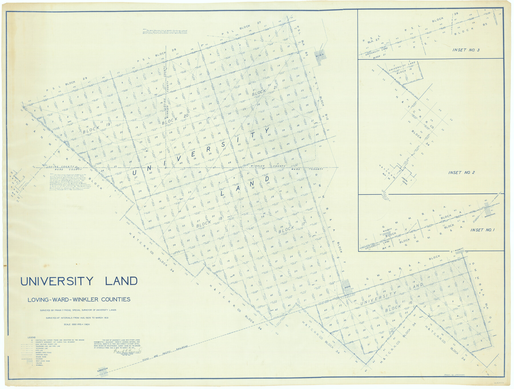
University Land Loving-Ward-Winkler Counties
K-8-108d; K-8-108c; K-8-210a
-
Map/Doc
2415
-
Collection
General Map Collection
-
Object Dates
1931 (Creation Date)
-
People and Organizations
Frank F. Friend (Surveyor/Engineer)
-
Counties
Loving Ward Winkler
-
Subjects
University Land
-
Height x Width
47.9 x 63.2 inches
121.7 x 160.5 cm
Part of: General Map Collection
Ellis County Sketch File 14

Print $40.00
- Digital $50.00
Ellis County Sketch File 14
1861
Size 12.9 x 16.1 inches
Map/Doc 21854
Hardin County Working Sketch 10

Print $20.00
- Digital $50.00
Hardin County Working Sketch 10
1929
Size 24.0 x 25.3 inches
Map/Doc 63408
Howard County Rolled Sketch 12

Print $20.00
- Digital $50.00
Howard County Rolled Sketch 12
Size 25.8 x 16.5 inches
Map/Doc 6243
Dickens County Sketch File D1

Print $50.00
- Digital $50.00
Dickens County Sketch File D1
Size 13.0 x 19.4 inches
Map/Doc 20833
Kinney County Working Sketch 54

Print $20.00
- Digital $50.00
Kinney County Working Sketch 54
1981
Size 40.0 x 32.8 inches
Map/Doc 70236

Controlled Mosaic by Jack Amman Photogrammetric Engineers, Inc - Sheet 37

Print $20.00
- Digital $50.00
Controlled Mosaic by Jack Amman Photogrammetric Engineers, Inc - Sheet 37
1954
Size 20.0 x 24.0 inches
Map/Doc 83490
Maverick County Working Sketch 16

Print $20.00
- Digital $50.00
Maverick County Working Sketch 16
1975
Size 38.1 x 27.6 inches
Map/Doc 70908
Harris County Aerial Photograph Index Sheet 9

Print $20.00
- Digital $50.00
Harris County Aerial Photograph Index Sheet 9
1953
Size 22.1 x 16.6 inches
Map/Doc 83703
St. Louis, Brownsville & Mexico Railway Location Map from Mile 100 to Mile 120

Print $40.00
- Digital $50.00
St. Louis, Brownsville & Mexico Railway Location Map from Mile 100 to Mile 120
1905
Size 20.0 x 61.2 inches
Map/Doc 64167
Lipscomb County Working Sketch 9

Print $20.00
- Digital $50.00
Lipscomb County Working Sketch 9
1995
Size 44.1 x 22.3 inches
Map/Doc 70585
Sabine River, East Extension Merrill Lake Sheet

Print $4.00
- Digital $50.00
Sabine River, East Extension Merrill Lake Sheet
1933
Size 24.5 x 15.1 inches
Map/Doc 65141
You may also like
Pecos County Working Sketch 5

Print $20.00
- Digital $50.00
Pecos County Working Sketch 5
1886
Size 22.8 x 19.2 inches
Map/Doc 71475
Block 3, C. D. Elliston Addition

Print $20.00
- Digital $50.00
Block 3, C. D. Elliston Addition
1953
Size 14.8 x 18.3 inches
Map/Doc 92728
[H. & T. C. 47, Sections 57- 61] / [Blocks 4 and 6]
![91416, [H. & T. C. 47, Sections 57- 61] / [Blocks 4 and 6], Twichell Survey Records](https://historictexasmaps.com/wmedia_w700/maps/91416-1.tif.jpg)
Print $20.00
- Digital $50.00
[H. & T. C. 47, Sections 57- 61] / [Blocks 4 and 6]
Size 26.0 x 19.5 inches
Map/Doc 91416
Flight Mission No. CRC-2R, Frame 53, Chambers County

Print $20.00
- Digital $50.00
Flight Mission No. CRC-2R, Frame 53, Chambers County
1956
Size 18.5 x 22.4 inches
Map/Doc 84726
Willacy County Rolled Sketch 2

Print $40.00
- Digital $50.00
Willacy County Rolled Sketch 2
1921
Size 30.7 x 62.9 inches
Map/Doc 10145
Menard County Sketch File 14

Print $4.00
- Digital $50.00
Menard County Sketch File 14
1892
Size 12.8 x 8.2 inches
Map/Doc 31508
![91292, [League 321], Twichell Survey Records](https://historictexasmaps.com/wmedia_w700/maps/91292-1.tif.jpg)
Terrell County Rolled Sketch 36

Print $20.00
- Digital $50.00
Terrell County Rolled Sketch 36
1940
Size 17.4 x 33.8 inches
Map/Doc 9989
Montgomery County Working Sketch 29

Print $20.00
- Digital $50.00
Montgomery County Working Sketch 29
1942
Size 32.3 x 33.9 inches
Map/Doc 71136
Kaufman County Boundary File 5

Print $37.00
- Digital $50.00
Kaufman County Boundary File 5
Size 13.4 x 8.7 inches
Map/Doc 55942
Dimmit County

Print $40.00
- Digital $50.00
Dimmit County
1976
Size 43.2 x 51.7 inches
Map/Doc 95483
Terrell County Rolled Sketch 40

Print $20.00
- Digital $50.00
Terrell County Rolled Sketch 40
1943
Size 16.7 x 18.1 inches
Map/Doc 7944