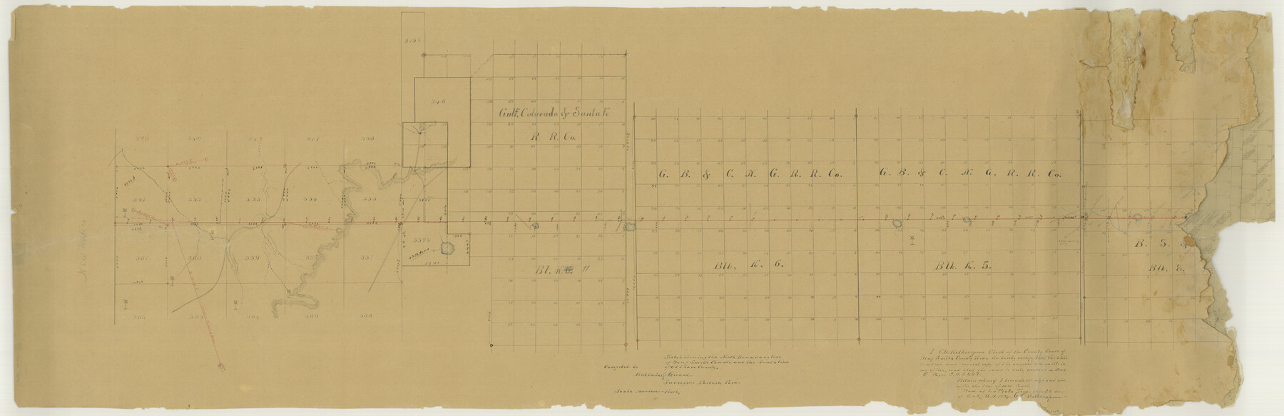
Deaf Smith County Boundary File 1
Deaf Smith County Boundaries
-
Map/Doc
52372
-
Collection
General Map Collection
-
Counties
Deaf Smith
-
Subjects
County Boundaries
-
Height x Width
14.1 x 8.6 inches
35.8 x 21.8 cm
Part of: General Map Collection
Blanco County Sketch File 21

Print $6.00
- Digital $50.00
Blanco County Sketch File 21
1881
Size 15.6 x 11.2 inches
Map/Doc 14600
Bexar County Sketch File 56

Print $40.00
- Digital $50.00
Bexar County Sketch File 56
1966
Size 19.7 x 23.8 inches
Map/Doc 10927
Montgomery County Rolled Sketch 38A

Print $40.00
- Digital $50.00
Montgomery County Rolled Sketch 38A
1962
Size 25.1 x 54.7 inches
Map/Doc 9546
1960 Texas Official Highway Travel Map

Digital $50.00
1960 Texas Official Highway Travel Map
Size 28.4 x 36.2 inches
Map/Doc 94329
Wilbarger County Working Sketch 5

Print $20.00
- Digital $50.00
Wilbarger County Working Sketch 5
1940
Size 21.3 x 25.6 inches
Map/Doc 72543
Ector County Working Sketch 22

Print $20.00
- Digital $50.00
Ector County Working Sketch 22
1959
Size 24.2 x 36.6 inches
Map/Doc 68865
Goliad County Working Sketch 23

Print $20.00
- Digital $50.00
Goliad County Working Sketch 23
1979
Size 26.8 x 32.9 inches
Map/Doc 63213
Brewster County Rolled Sketch 149

Print $20.00
- Digital $50.00
Brewster County Rolled Sketch 149
1951
Size 23.4 x 20.6 inches
Map/Doc 5316

Andrews County Rolled Sketch 46

Print $40.00
- Digital $50.00
Andrews County Rolled Sketch 46
2013
Size 52.0 x 36.0 inches
Map/Doc 93641
Liberty County Working Sketch 15

Print $20.00
- Digital $50.00
Liberty County Working Sketch 15
1922
Size 19.0 x 15.0 inches
Map/Doc 70474
Val Verde County Rolled Sketch 75

Print $20.00
- Digital $50.00
Val Verde County Rolled Sketch 75
1972
Size 28.9 x 40.6 inches
Map/Doc 8138
You may also like
Duval County Rolled Sketch 43

Print $20.00
- Digital $50.00
Duval County Rolled Sketch 43
1981
Size 44.3 x 34.7 inches
Map/Doc 8820
Trinity River, White Rock Reservoir Sheet/White Rock Creek

Print $6.00
- Digital $50.00
Trinity River, White Rock Reservoir Sheet/White Rock Creek
1923
Size 36.3 x 16.7 inches
Map/Doc 65213
Hays County Sketch File 25a

Print $2.00
- Digital $50.00
Hays County Sketch File 25a
1881
Size 10.2 x 8.0 inches
Map/Doc 26251
General Highway Map, Ellis County, Texas

Print $20.00
General Highway Map, Ellis County, Texas
1939
Size 18.4 x 24.9 inches
Map/Doc 79083
Harbor of Brazos Santiago, Texas

Print $20.00
- Digital $50.00
Harbor of Brazos Santiago, Texas
1887
Size 27.1 x 18.3 inches
Map/Doc 72994
Map of the Republic of Mexico

Print $20.00
Map of the Republic of Mexico
1882
Size 33.0 x 47.4 inches
Map/Doc 76220
Webb County Rolled Sketch 78

Print $20.00
- Digital $50.00
Webb County Rolled Sketch 78
2011
Size 33.1 x 24.6 inches
Map/Doc 90052
Flight Mission No. BQY-4M, Frame 59, Harris County

Print $20.00
- Digital $50.00
Flight Mission No. BQY-4M, Frame 59, Harris County
1953
Size 18.5 x 22.3 inches
Map/Doc 85268
Sutton County Working Sketch 31

Print $20.00
- Digital $50.00
Sutton County Working Sketch 31
1929
Size 19.2 x 21.8 inches
Map/Doc 62374
Galveston County NRC Article 33.136 Sketch 87

Print $24.00
- Digital $50.00
Galveston County NRC Article 33.136 Sketch 87
2006
Size 24.0 x 36.0 inches
Map/Doc 95391
Tyler County Sketch File A

Print $5.00
- Digital $50.00
Tyler County Sketch File A
1849
Size 9.9 x 15.1 inches
Map/Doc 38603
Castro County Sketch File 4g

Print $4.00
- Digital $50.00
Castro County Sketch File 4g
Size 12.0 x 8.9 inches
Map/Doc 17477