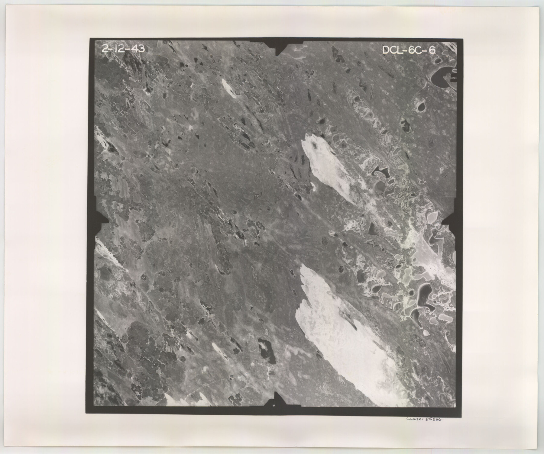
Flight Mission No. DCL-6C, Frame 6, Kenedy County
DCL-6C-6
-
Map/Doc
85866
-
Collection
General Map Collection
-
Object Dates
1943/2/12 (Creation Date)
-
People and Organizations
U. S. Department of Agriculture (Publisher)
-
Counties
Kenedy
-
Subjects
Aerial Photograph
-
Height x Width
18.6 x 22.3 inches
47.2 x 56.6 cm
-
Comments
Flown by Aerial Surveys of Pittsburgh, Inc. of Pittsburgh, Pennsylvania.
Part of: General Map Collection
Henderson County Rolled Sketch 11

Print $20.00
- Digital $50.00
Henderson County Rolled Sketch 11
1915
Size 29.5 x 42.5 inches
Map/Doc 75960
Bexar County Sketch File 8

Print $4.00
- Digital $50.00
Bexar County Sketch File 8
Size 9.4 x 7.7 inches
Map/Doc 14477
Erath County Rolled Sketch 4

Print $20.00
- Digital $50.00
Erath County Rolled Sketch 4
Size 29.1 x 40.9 inches
Map/Doc 5866
San Augustine County Sketch File 21

Print $4.00
- Digital $50.00
San Augustine County Sketch File 21
1873
Size 12.8 x 7.9 inches
Map/Doc 35685
Carte Geo-Hydrographique du Golfe du Mexique et de ses Isles construite d'après les mémoires les plus recens, et assujeties, pour l'emplacement de ces principales positions aux latitudes et longitudes

Print $20.00
- Digital $50.00
Carte Geo-Hydrographique du Golfe du Mexique et de ses Isles construite d'après les mémoires les plus recens, et assujeties, pour l'emplacement de ces principales positions aux latitudes et longitudes
1771
Size 15.0 x 20.5 inches
Map/Doc 94108
Flight Mission No. BRA-7M, Frame 27, Jefferson County

Print $20.00
- Digital $50.00
Flight Mission No. BRA-7M, Frame 27, Jefferson County
1953
Size 18.5 x 22.3 inches
Map/Doc 85478
Anderson County Working Sketch 4

Print $20.00
- Digital $50.00
Anderson County Working Sketch 4
Size 15.9 x 21.4 inches
Map/Doc 67003
[Map of Texas and Pacific Blocks from Brazos River westward through Palo Pinto, Stephens, Shackelford, Jones, Callahan, Taylor, Fisher, Nolan and Mitchell Counties]
![93457, [Map of Texas and Pacific Blocks from Brazos River westward through Palo Pinto, Stephens, Shackelford, Jones, Callahan, Taylor, Fisher, Nolan and Mitchell Counties], General Map Collection](https://historictexasmaps.com/wmedia_w700/maps/93457-1.tif.jpg)
Print $20.00
- Digital $50.00
[Map of Texas and Pacific Blocks from Brazos River westward through Palo Pinto, Stephens, Shackelford, Jones, Callahan, Taylor, Fisher, Nolan and Mitchell Counties]
Size 35.0 x 19.3 inches
Map/Doc 93457
Wilbarger Co.

Print $40.00
- Digital $50.00
Wilbarger Co.
1949
Size 48.2 x 39.2 inches
Map/Doc 63128
Culberson County Working Sketch 68

Print $40.00
- Digital $50.00
Culberson County Working Sketch 68
1975
Size 48.9 x 33.5 inches
Map/Doc 68522

Terry County Sketch File 4

Print $20.00
- Digital $50.00
Terry County Sketch File 4
1913
Size 14.4 x 8.7 inches
Map/Doc 38016
You may also like
Travis County Rolled Sketch 15

Print $20.00
- Digital $50.00
Travis County Rolled Sketch 15
1939
Size 25.4 x 37.6 inches
Map/Doc 10011
San Jacinto River and Tributaries, Texas - Survey of 1939

Print $20.00
- Digital $50.00
San Jacinto River and Tributaries, Texas - Survey of 1939
1939
Size 28.1 x 40.5 inches
Map/Doc 3153
Victoria County Sketch File 4

Print $7.00
- Digital $50.00
Victoria County Sketch File 4
1876
Size 10.1 x 8.2 inches
Map/Doc 39517
Trinity County Sketch File 21

Print $20.00
- Digital $50.00
Trinity County Sketch File 21
Size 22.2 x 34.5 inches
Map/Doc 12486
Fort Bend County Rolled Sketch P

Print $20.00
- Digital $50.00
Fort Bend County Rolled Sketch P
Size 32.2 x 15.5 inches
Map/Doc 5906
Flight Mission No. DCL-7C, Frame 13, Kenedy County

Print $20.00
- Digital $50.00
Flight Mission No. DCL-7C, Frame 13, Kenedy County
1943
Size 15.4 x 15.3 inches
Map/Doc 86005
Reeves County Working Sketch 53

Print $40.00
- Digital $50.00
Reeves County Working Sketch 53
1977
Size 70.3 x 42.6 inches
Map/Doc 63496
Lipscomb County Sketch File 3

Print $20.00
- Digital $50.00
Lipscomb County Sketch File 3
Size 36.5 x 8.4 inches
Map/Doc 10526
[Right of Way Map, Belton Branch of the M.K.&T. RR.]
![64227, [Right of Way Map, Belton Branch of the M.K.&T. RR.], General Map Collection](https://historictexasmaps.com/wmedia_w700/maps/64227.tif.jpg)
Print $20.00
- Digital $50.00
[Right of Way Map, Belton Branch of the M.K.&T. RR.]
1896
Size 22.0 x 7.2 inches
Map/Doc 64227
Tom Green County Rolled Sketch 2

Print $20.00
- Digital $50.00
Tom Green County Rolled Sketch 2
Size 17.2 x 26.8 inches
Map/Doc 7992
[Blk. 1 and League 3, Morris County School Land]
![90364, [Blk. 1 and League 3, Morris County School Land], Twichell Survey Records](https://historictexasmaps.com/wmedia_w700/maps/90364-1.tif.jpg)
Print $3.00
- Digital $50.00
[Blk. 1 and League 3, Morris County School Land]
Size 12.4 x 11.4 inches
Map/Doc 90364
Eastland County Working Sketch 26

Print $20.00
- Digital $50.00
Eastland County Working Sketch 26
1948
Size 21.4 x 19.0 inches
Map/Doc 68807