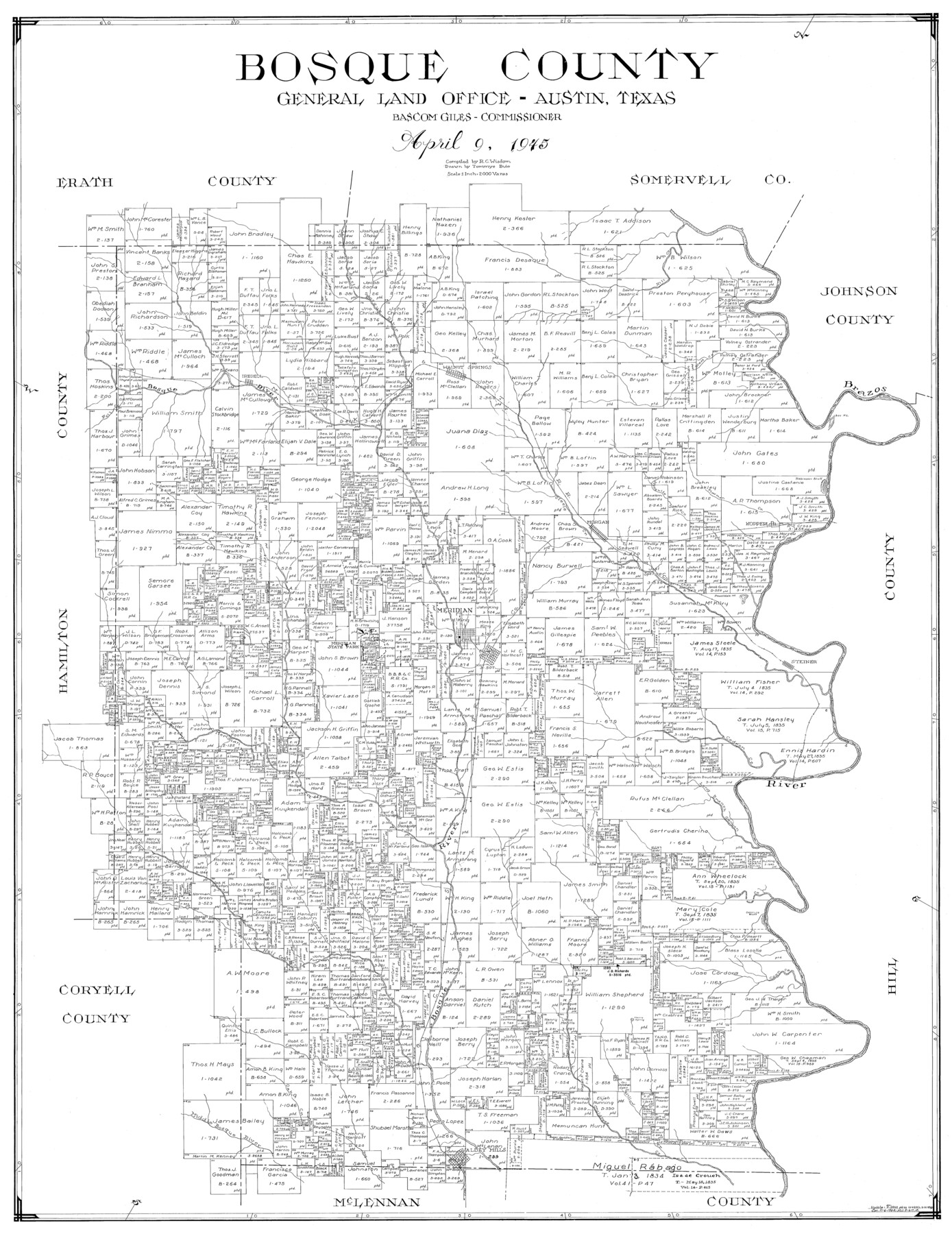
Bosque County
-
Map/Doc
77215
-
Collection
General Map Collection
-
Object Dates
1945/4/9 (Creation Date)
-
People and Organizations
Tommye Buie (Draftsman)
R.C. Wisdom (Compiler)
-
Counties
Bosque
-
Subjects
County
-
Height x Width
42.6 x 33.0 inches
108.2 x 83.8 cm
Part of: General Map Collection
Flight Mission No. BRE-1P, Frame 144, Nueces County

Print $20.00
- Digital $50.00
Flight Mission No. BRE-1P, Frame 144, Nueces County
1956
Size 18.3 x 22.3 inches
Map/Doc 86704
Current Miscellaneous File 82

Print $4.00
- Digital $50.00
Current Miscellaneous File 82
Size 12.0 x 8.8 inches
Map/Doc 74224
Shelby County Working Sketch 33

Print $20.00
- Digital $50.00
Shelby County Working Sketch 33
2008
Size 23.6 x 27.5 inches
Map/Doc 88886
Baylor County Sketch File 7

Print $4.00
- Digital $50.00
Baylor County Sketch File 7
Size 6.7 x 10.2 inches
Map/Doc 14135
Maverick County Sketch File 16a

Print $9.00
- Digital $50.00
Maverick County Sketch File 16a
1886
Size 9.5 x 13.7 inches
Map/Doc 31117
Controlled Mosaic by Jack Amman Photogrammetric Engineers, Inc - Sheet 28

Print $20.00
- Digital $50.00
Controlled Mosaic by Jack Amman Photogrammetric Engineers, Inc - Sheet 28
1954
Size 21.1 x 24.1 inches
Map/Doc 83480
Clay County Boundary File 19

Print $8.00
- Digital $50.00
Clay County Boundary File 19
1924
Size 3.3 x 5.5 inches
Map/Doc 65511
Brazoria County Rolled Sketch 19

Print $20.00
- Digital $50.00
Brazoria County Rolled Sketch 19
Size 16.9 x 19.0 inches
Map/Doc 5166
Upton County Rolled Sketch 23

Print $20.00
- Digital $50.00
Upton County Rolled Sketch 23
1940
Size 25.7 x 39.4 inches
Map/Doc 8074
Liberty County

Print $20.00
- Digital $50.00
Liberty County
1882
Size 26.1 x 24.8 inches
Map/Doc 3813
Flight Mission No. BRA-16M, Frame 126, Jefferson County

Print $20.00
- Digital $50.00
Flight Mission No. BRA-16M, Frame 126, Jefferson County
1953
Size 18.5 x 22.5 inches
Map/Doc 85736
Flight Mission No. DAG-22K, Frame 74, Matagorda County

Print $20.00
- Digital $50.00
Flight Mission No. DAG-22K, Frame 74, Matagorda County
1953
Size 18.8 x 22.5 inches
Map/Doc 86461
You may also like
Jasper County Working Sketch 26

Print $20.00
- Digital $50.00
Jasper County Working Sketch 26
1953
Size 23.1 x 18.1 inches
Map/Doc 66488
Terrell County Working Sketch 39

Print $20.00
- Digital $50.00
Terrell County Working Sketch 39
1951
Size 26.8 x 40.4 inches
Map/Doc 62132
Young County Working Sketch 10

Print $20.00
- Digital $50.00
Young County Working Sketch 10
1921
Size 24.4 x 34.4 inches
Map/Doc 62033
Orange County Aerial Photograph Index Sheet 1

Print $20.00
- Digital $50.00
Orange County Aerial Photograph Index Sheet 1
1957
Size 24.1 x 20.4 inches
Map/Doc 83740
Corpus Christi Bay

Print $20.00
- Digital $50.00
Corpus Christi Bay
1971
Size 36.4 x 47.4 inches
Map/Doc 73472
Reagan County Sketch File 26

Print $20.00
- Digital $50.00
Reagan County Sketch File 26
1948
Size 16.9 x 28.7 inches
Map/Doc 12223
Crockett County Working Sketch 26

Print $20.00
- Digital $50.00
Crockett County Working Sketch 26
1922
Size 15.3 x 20.3 inches
Map/Doc 68359
Township 11 North Range 16 West, South Western District, Louisiana

Print $20.00
- Digital $50.00
Township 11 North Range 16 West, South Western District, Louisiana
1834
Size 19.7 x 24.7 inches
Map/Doc 65869
Crockett County Rolled Sketch 5

Print $40.00
- Digital $50.00
Crockett County Rolled Sketch 5
Size 25.0 x 63.0 inches
Map/Doc 8689
Working Sketch Carson County

Print $3.00
- Digital $50.00
Working Sketch Carson County
1907
Size 11.6 x 17.8 inches
Map/Doc 90224
Denton County Sketch File 43

Print $20.00
- Digital $50.00
Denton County Sketch File 43
2006
Size 11.0 x 8.5 inches
Map/Doc 83610
Refugio County Working Sketch 14

Print $20.00
- Digital $50.00
Refugio County Working Sketch 14
1961
Size 25.7 x 21.7 inches
Map/Doc 63523