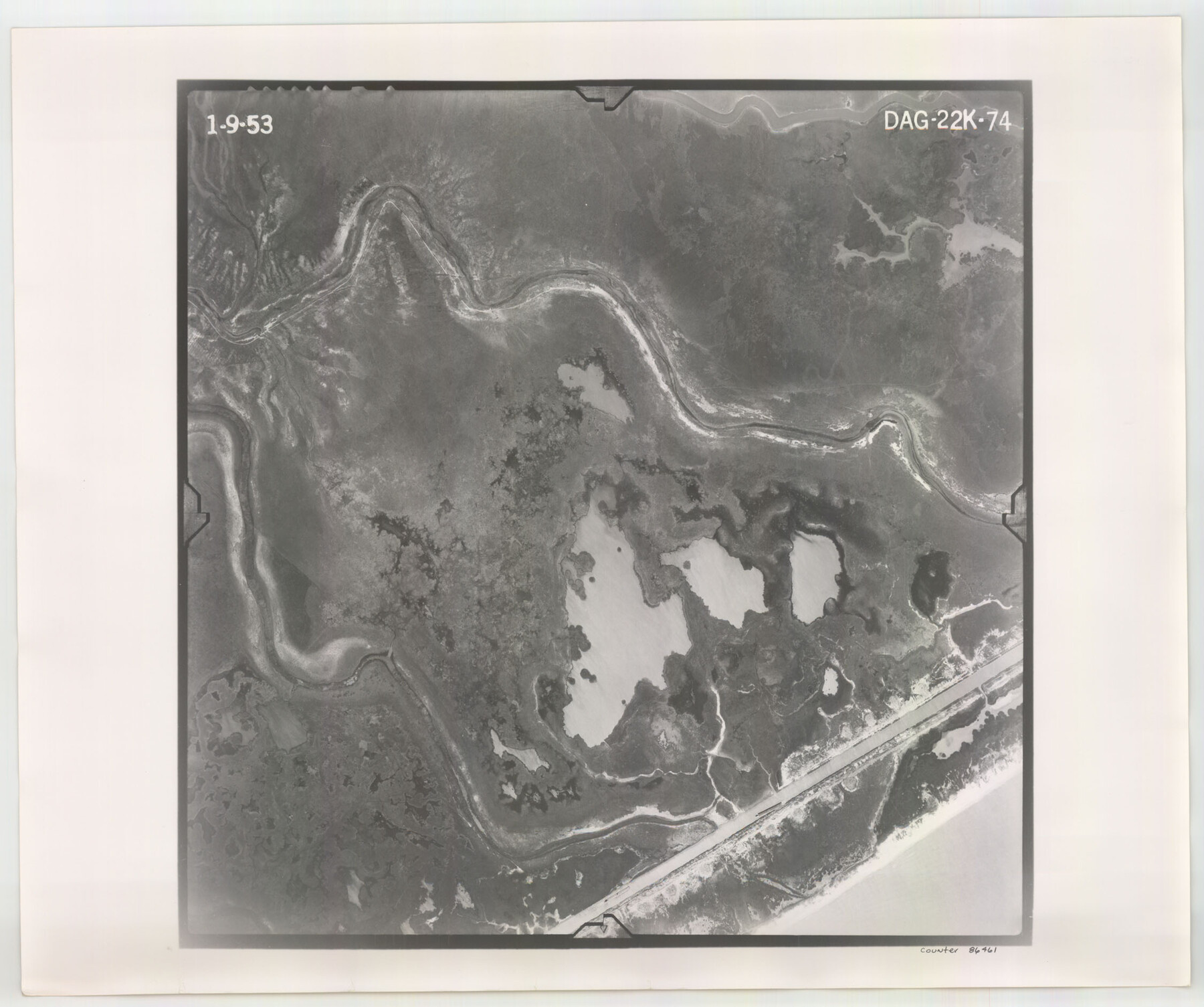
Flight Mission No. DAG-22K, Frame 74, Matagorda County
DAG-22K-74
-
Map/Doc
86461
-
Collection
General Map Collection
-
Object Dates
1953/1/9 (Creation Date)
-
People and Organizations
U. S. Department of Agriculture (Publisher)
-
Counties
Matagorda
-
Subjects
Aerial Photograph
-
Height x Width
18.8 x 22.5 inches
47.8 x 57.2 cm
-
Comments
Flown by Aero Exploration Company of Tulsa, Oklahoma.
Part of: General Map Collection
Aransas County Sketch File 15b

Print $10.00
- Digital $50.00
Aransas County Sketch File 15b
1891
Size 13.8 x 8.1 inches
Map/Doc 13143
Nueces County Sketch File 12c

Print $11.00
- Digital $50.00
Nueces County Sketch File 12c
1889
Size 12.6 x 8.2 inches
Map/Doc 32534
Burnet County Rolled Sketch T

Print $20.00
- Digital $50.00
Burnet County Rolled Sketch T
Size 24.7 x 18.3 inches
Map/Doc 5359
Zapata County Working Sketch 16

Print $20.00
- Digital $50.00
Zapata County Working Sketch 16
1969
Size 26.1 x 28.3 inches
Map/Doc 62067
Flight Mission No. CRC-2R, Frame 201, Chambers County

Print $20.00
- Digital $50.00
Flight Mission No. CRC-2R, Frame 201, Chambers County
1956
Size 18.5 x 22.3 inches
Map/Doc 84779
Polk County Sketch File 30

Print $18.00
- Digital $50.00
Polk County Sketch File 30
1934
Size 14.1 x 8.5 inches
Map/Doc 34206
Edwards County Working Sketch 111

Print $40.00
- Digital $50.00
Edwards County Working Sketch 111
1972
Size 58.1 x 30.8 inches
Map/Doc 68987
Brown County Working Sketch 18

Print $20.00
- Digital $50.00
Brown County Working Sketch 18
1994
Size 43.0 x 29.3 inches
Map/Doc 67783
Marion County Working Sketch 6

Print $20.00
- Digital $50.00
Marion County Working Sketch 6
1962
Size 33.7 x 19.8 inches
Map/Doc 70781
Henderson County Working Sketch 24

Print $20.00
- Digital $50.00
Henderson County Working Sketch 24
1952
Size 29.3 x 22.9 inches
Map/Doc 66157
Packery Channel

Print $20.00
- Digital $50.00
Packery Channel
1937
Size 23.8 x 22.4 inches
Map/Doc 3008
Trinity County Sketch File 21

Print $20.00
- Digital $50.00
Trinity County Sketch File 21
Size 22.2 x 34.5 inches
Map/Doc 12486
You may also like
Working Sketch in Bailey County

Print $20.00
- Digital $50.00
Working Sketch in Bailey County
1920
Size 17.1 x 19.1 inches
Map/Doc 90185
Red River County Working Sketch 25

Print $20.00
- Digital $50.00
Red River County Working Sketch 25
1959
Size 23.0 x 22.2 inches
Map/Doc 72008
Shelby County Working Sketch Graphic Index

Print $20.00
- Digital $50.00
Shelby County Working Sketch Graphic Index
1945
Size 42.9 x 44.3 inches
Map/Doc 76697
Map of subdivision of submerged land in the Gulf of Mexico fronting on Matagorda Island and Peninsula

Print $40.00
- Digital $50.00
Map of subdivision of submerged land in the Gulf of Mexico fronting on Matagorda Island and Peninsula
1940
Size 22.6 x 64.5 inches
Map/Doc 2930
Lampasas County Working Sketch 4

Print $20.00
- Digital $50.00
Lampasas County Working Sketch 4
1941
Size 23.1 x 16.8 inches
Map/Doc 70281
Panola County Rolled Sketch 7

Print $20.00
- Digital $50.00
Panola County Rolled Sketch 7
Size 18.6 x 23.4 inches
Map/Doc 7200
Flight Mission No. BRE-1P, Frame 11, Nueces County

Print $20.00
- Digital $50.00
Flight Mission No. BRE-1P, Frame 11, Nueces County
1956
Size 18.6 x 22.6 inches
Map/Doc 86619
Tom Green County Sketch File 66

Print $22.00
- Digital $50.00
Tom Green County Sketch File 66
1929
Size 16.8 x 14.6 inches
Map/Doc 38236
Runnels County Rolled Sketch A

Print $20.00
- Digital $50.00
Runnels County Rolled Sketch A
1891
Size 13.4 x 15.0 inches
Map/Doc 7539
Kenedy County Boundary File 2a

Print $22.00
- Digital $50.00
Kenedy County Boundary File 2a
Size 14.7 x 40.9 inches
Map/Doc 55793
Galveston County Sketch File 11b

Print $4.00
- Digital $50.00
Galveston County Sketch File 11b
1876
Size 8.9 x 8.9 inches
Map/Doc 23378
Flight Mission No. CGI-3N, Frame 163, Cameron County

Print $20.00
- Digital $50.00
Flight Mission No. CGI-3N, Frame 163, Cameron County
1954
Size 18.5 x 22.3 inches
Map/Doc 84627