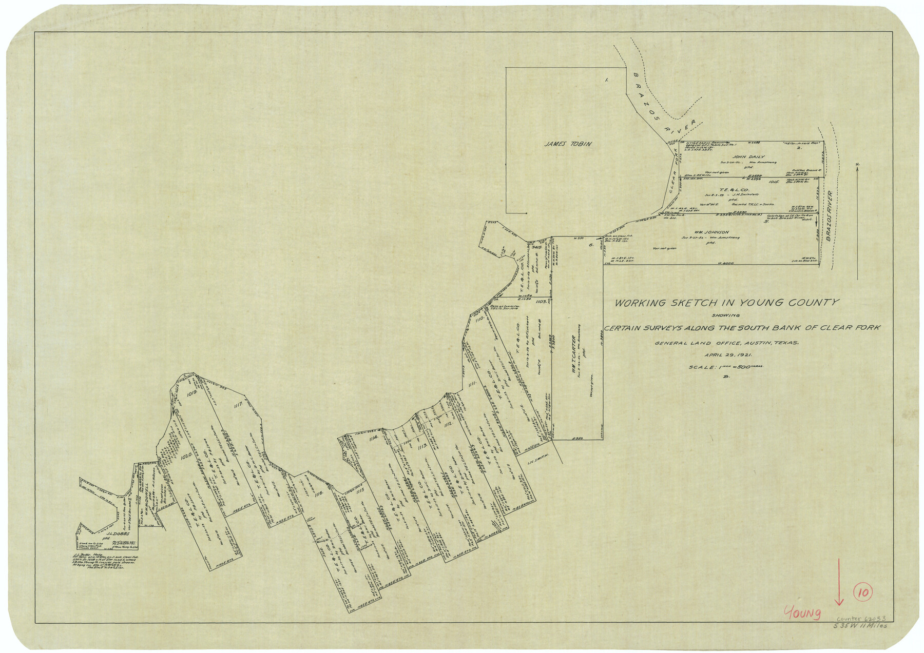
Young County Working Sketch 10
-
Map/Doc
62033
-
Collection
General Map Collection
-
Object Dates
4/29/1921 (Creation Date)
-
Counties
Young
-
Subjects
Surveying Working Sketch
-
Height x Width
24.4 x 34.4 inches
62.0 x 87.4 cm
-
Scale
1" = 500 varas
Part of: General Map Collection
El Paso County Working Sketch Graphic Index - north part

Print $20.00
- Digital $50.00
El Paso County Working Sketch Graphic Index - north part
1977
Size 33.4 x 45.0 inches
Map/Doc 76536
Fort Bend County Working Sketch 23

Print $20.00
- Digital $50.00
Fort Bend County Working Sketch 23
1978
Size 37.2 x 29.8 inches
Map/Doc 69229
Southern Part of Laguna Madre

Print $20.00
- Digital $50.00
Southern Part of Laguna Madre
1985
Size 45.3 x 36.6 inches
Map/Doc 73547
Texas showing Counties, Cities, Towns, Railroads and Water-courses. Completely indexed, showing locations with latest census population figures.

Print $20.00
- Digital $50.00
Texas showing Counties, Cities, Towns, Railroads and Water-courses. Completely indexed, showing locations with latest census population figures.
1950
Size 32.0 x 28.5 inches
Map/Doc 97097
Monterey Harbor, California

Print $20.00
- Digital $50.00
Monterey Harbor, California
1852
Size 15.7 x 13.8 inches
Map/Doc 97230
Maverick County Working Sketch 16

Print $20.00
- Digital $50.00
Maverick County Working Sketch 16
1975
Size 38.1 x 27.6 inches
Map/Doc 70908
Flight Mission No. BRE-5P, Frame 192, Nueces County

Print $20.00
- Digital $50.00
Flight Mission No. BRE-5P, Frame 192, Nueces County
1956
Size 18.4 x 22.3 inches
Map/Doc 86838
Val Verde County Sketch File Z3

Print $12.00
- Digital $50.00
Val Verde County Sketch File Z3
Size 8.8 x 7.8 inches
Map/Doc 39131
Hardin County Sketch File 64

Print $24.00
- Digital $50.00
Hardin County Sketch File 64
1936
Size 24.5 x 25.6 inches
Map/Doc 11638
Flight Mission No. DCL-6C, Frame 179, Kenedy County

Print $20.00
- Digital $50.00
Flight Mission No. DCL-6C, Frame 179, Kenedy County
1943
Size 18.6 x 22.4 inches
Map/Doc 85991
Flight Mission No. DCL-6C, Frame 131, Kenedy County

Print $20.00
- Digital $50.00
Flight Mission No. DCL-6C, Frame 131, Kenedy County
1943
Size 18.7 x 22.3 inches
Map/Doc 85961
Cass County Sketch File 6

Print $4.00
- Digital $50.00
Cass County Sketch File 6
1852
Size 8.4 x 8.8 inches
Map/Doc 17406
You may also like
Gaines County

Print $40.00
- Digital $50.00
Gaines County
1956
Size 45.1 x 56.6 inches
Map/Doc 95504
Jefferson County Working Sketch 26

Print $20.00
- Digital $50.00
Jefferson County Working Sketch 26
1977
Size 39.9 x 36.8 inches
Map/Doc 66569
Red River County Working Sketch 16

Print $20.00
- Digital $50.00
Red River County Working Sketch 16
1953
Size 21.8 x 23.4 inches
Map/Doc 71999
Map of the Rio Grande & Eagle Pass Ry. from Sections 7-13 Inclusive, Webb County

Print $40.00
- Digital $50.00
Map of the Rio Grande & Eagle Pass Ry. from Sections 7-13 Inclusive, Webb County
1909
Size 25.6 x 55.5 inches
Map/Doc 64656
Brewster County Working Sketch 89

Print $20.00
- Digital $50.00
Brewster County Working Sketch 89
1974
Size 20.5 x 44.1 inches
Map/Doc 67689
Presidio County Sketch File 21A

Print $12.00
- Digital $50.00
Presidio County Sketch File 21A
1889
Size 5.1 x 8.8 inches
Map/Doc 34460
Roberts County Working Sketch 34

Print $20.00
- Digital $50.00
Roberts County Working Sketch 34
1978
Size 26.6 x 22.5 inches
Map/Doc 63560
Map of Denton County

Print $20.00
- Digital $50.00
Map of Denton County
1897
Size 42.7 x 39.5 inches
Map/Doc 4932
[Blocks O3 and O4 and Capitol Leagues in the vicinity]
![90391, [Blocks O3 and O4 and Capitol Leagues in the vicinity], Twichell Survey Records](https://historictexasmaps.com/wmedia_w700/maps/90391-1.tif.jpg)
Print $2.00
- Digital $50.00
[Blocks O3 and O4 and Capitol Leagues in the vicinity]
Size 8.4 x 10.5 inches
Map/Doc 90391
Presidio County Rolled Sketch 92

Print $20.00
- Digital $50.00
Presidio County Rolled Sketch 92
1947
Size 18.5 x 18.9 inches
Map/Doc 7377
University Lands, Blocks 1-13 & Block 58, Crockett, Reagan & Upton Counties

Print $20.00
- Digital $50.00
University Lands, Blocks 1-13 & Block 58, Crockett, Reagan & Upton Counties
1936
Size 36.9 x 42.0 inches
Map/Doc 2409
General Highway Map, Ochiltree County, Texas

Print $20.00
General Highway Map, Ochiltree County, Texas
1940
Size 18.2 x 24.8 inches
Map/Doc 79211