Southern Part of Laguna Madre
K-6-1288a
-
Map/Doc
73547
-
Collection
General Map Collection
-
Object Dates
8/3/1985 (Creation Date)
-
Counties
Willacy Cameron
-
Subjects
Nautical Charts
-
Height x Width
45.3 x 36.6 inches
115.1 x 93.0 cm
Part of: General Map Collection
Kendall County


Print $20.00
- Digital $50.00
Kendall County
1946
Size 42.5 x 36.8 inches
Map/Doc 95553
Live Oak County Sketch File 6


Print $4.00
- Digital $50.00
Live Oak County Sketch File 6
1847
Size 9.9 x 7.8 inches
Map/Doc 30257
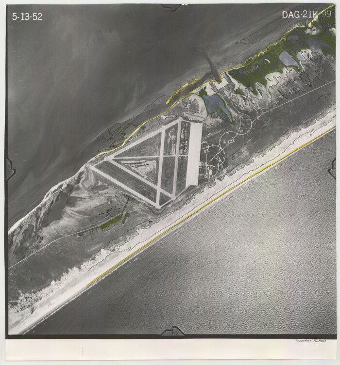
Flight Mission No. DAG-21K, Frame 99, Matagorda County

Print $20.00
- Digital $50.00
Flight Mission No. DAG-21K, Frame 99, Matagorda County
1952
Size 17.5 x 16.3 inches
Map/Doc 86428
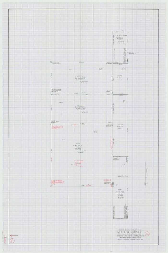
Wheeler County Working Sketch 16

Print $20.00
- Digital $50.00
Wheeler County Working Sketch 16
1982
Size 38.9 x 25.8 inches
Map/Doc 72505
Williamson County


Print $40.00
- Digital $50.00
Williamson County
1946
Size 37.3 x 54.8 inches
Map/Doc 77460
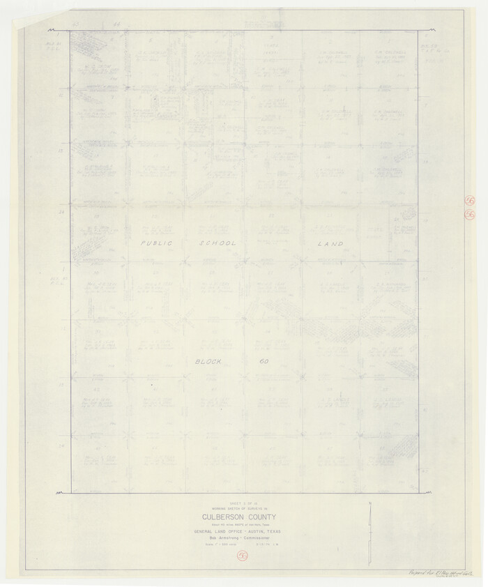
Culberson County Working Sketch 56

Print $20.00
- Digital $50.00
Culberson County Working Sketch 56
1974
Size 38.7 x 32.1 inches
Map/Doc 68510
Tom Green County Sketch File 89
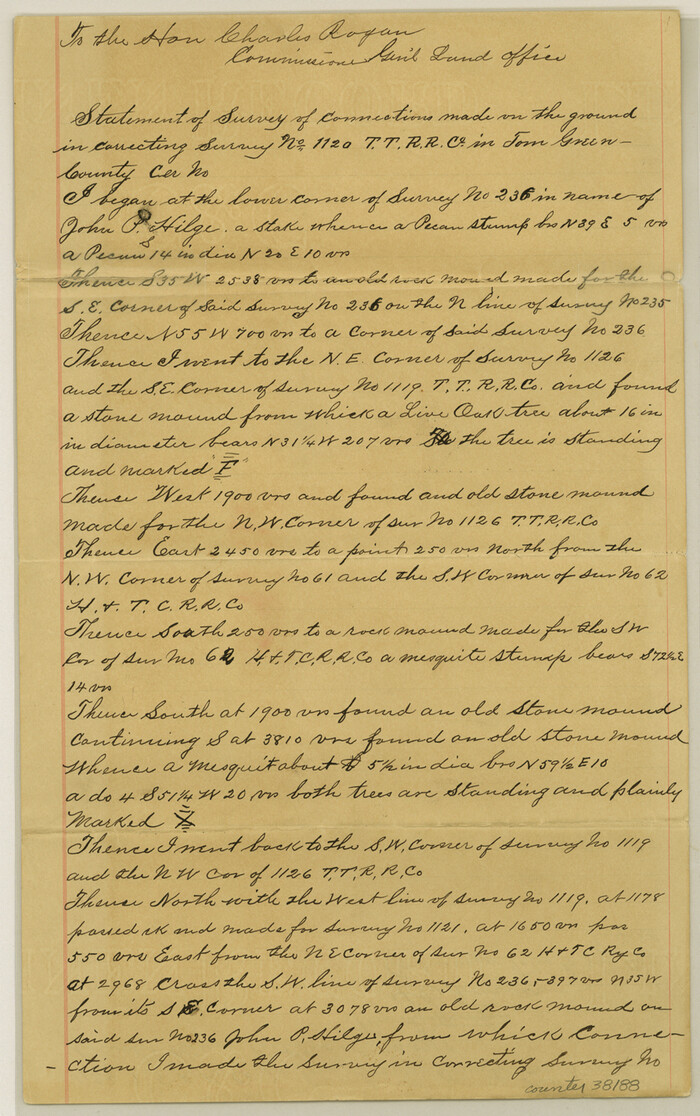

Print $4.00
Tom Green County Sketch File 89
Size 14.3 x 8.9 inches
Map/Doc 97245
Zapata County Rolled Sketch 10
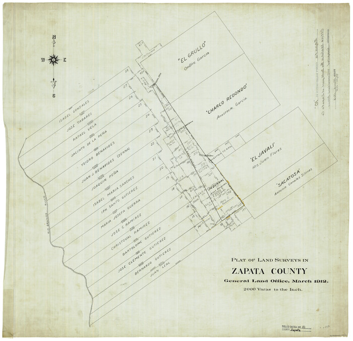

Print $20.00
- Digital $50.00
Zapata County Rolled Sketch 10
1912
Size 25.4 x 26.6 inches
Map/Doc 8311
Upton County Boundary File 1


Print $5.00
- Digital $50.00
Upton County Boundary File 1
Size 13.4 x 9.0 inches
Map/Doc 59506
Johnson County Boundary File 3
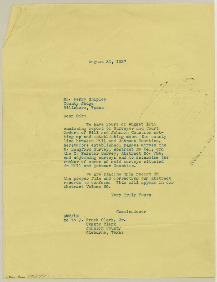

Print $24.00
- Digital $50.00
Johnson County Boundary File 3
Size 11.3 x 8.7 inches
Map/Doc 55577
Flight Mission No. DCL-7C, Frame 137, Kenedy County


Print $20.00
- Digital $50.00
Flight Mission No. DCL-7C, Frame 137, Kenedy County
1943
Size 15.4 x 15.3 inches
Map/Doc 86094
Henderson County
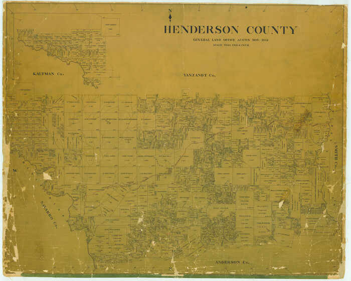

Print $40.00
- Digital $50.00
Henderson County
1922
Size 39.3 x 49.1 inches
Map/Doc 4683
You may also like
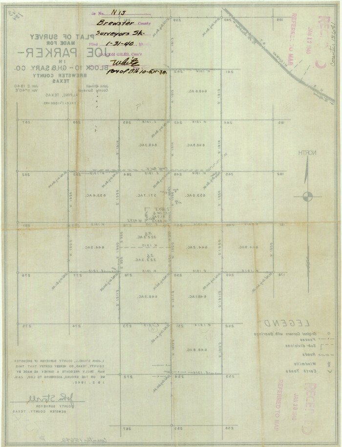
Brewster County Sketch File N-15

Print $40.00
- Digital $50.00
Brewster County Sketch File N-15
Size 16.7 x 12.8 inches
Map/Doc 15641
[Surveys in Milam's Colony along the Colorado River, Onion Creek, Cedar Creek, and north of the San Antonio Road]
![88, [Surveys in Milam's Colony along the Colorado River, Onion Creek, Cedar Creek, and north of the San Antonio Road], General Map Collection](https://historictexasmaps.com/wmedia_w700/maps/88-1.tif.jpg)
![88, [Surveys in Milam's Colony along the Colorado River, Onion Creek, Cedar Creek, and north of the San Antonio Road], General Map Collection](https://historictexasmaps.com/wmedia_w700/maps/88-1.tif.jpg)
Print $20.00
- Digital $50.00
[Surveys in Milam's Colony along the Colorado River, Onion Creek, Cedar Creek, and north of the San Antonio Road]
Size 13.4 x 26.8 inches
Map/Doc 88
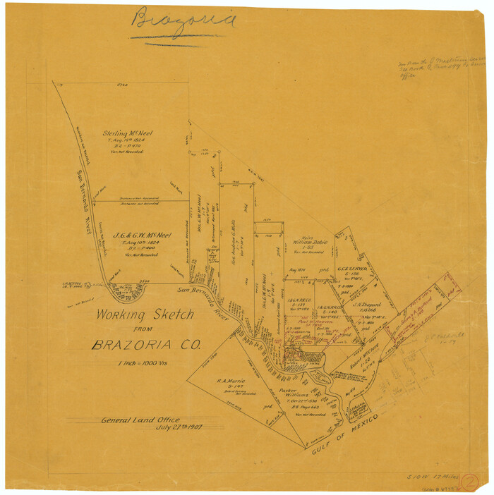
Brazoria County Working Sketch 2

Print $20.00
- Digital $50.00
Brazoria County Working Sketch 2
1907
Size 20.9 x 20.8 inches
Map/Doc 67487
Upton County Sketch File 43


Print $22.00
- Digital $50.00
Upton County Sketch File 43
1988
Size 11.4 x 8.8 inches
Map/Doc 38920
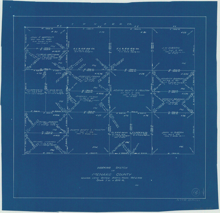
Menard County Working Sketch 14

Print $20.00
- Digital $50.00
Menard County Working Sketch 14
1939
Size 19.2 x 19.8 inches
Map/Doc 70961
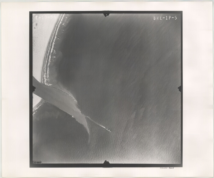
Flight Mission No. BRE-1P, Frame 5, Nueces County

Print $20.00
- Digital $50.00
Flight Mission No. BRE-1P, Frame 5, Nueces County
1956
Size 18.3 x 22.1 inches
Map/Doc 86613
Brewster County Rolled Sketch 62
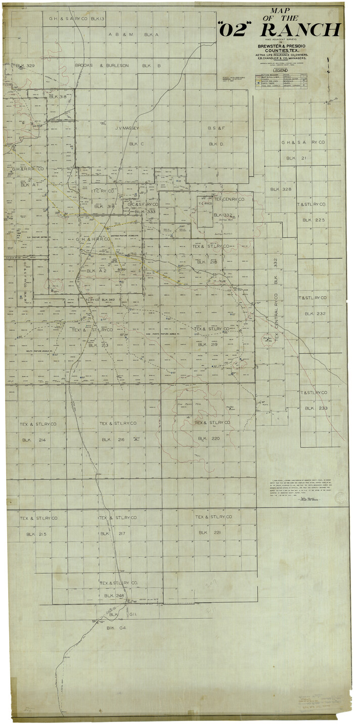

Print $40.00
- Digital $50.00
Brewster County Rolled Sketch 62
1939
Size 89.5 x 44.0 inches
Map/Doc 8487
Goliad County Sketch File 26a


Print $10.00
- Digital $50.00
Goliad County Sketch File 26a
Size 12.8 x 8.3 inches
Map/Doc 24321
Starr County Rolled Sketch 35


Print $20.00
- Digital $50.00
Starr County Rolled Sketch 35
1925
Size 40.1 x 12.8 inches
Map/Doc 7832
Map from Corpus Christi to Matagorda Bays, Texas [Inset: Survey of the channel of Copono Bay]
![72975, Map from Corpus Christi to Matagorda Bays, Texas [Inset: Survey of the channel of Copono Bay], General Map Collection](https://historictexasmaps.com/wmedia_w700/maps/72975.tif.jpg)
![72975, Map from Corpus Christi to Matagorda Bays, Texas [Inset: Survey of the channel of Copono Bay], General Map Collection](https://historictexasmaps.com/wmedia_w700/maps/72975.tif.jpg)
Print $20.00
- Digital $50.00
Map from Corpus Christi to Matagorda Bays, Texas [Inset: Survey of the channel of Copono Bay]
1846
Size 18.3 x 27.4 inches
Map/Doc 72975
Runnels County Working Sketch 7
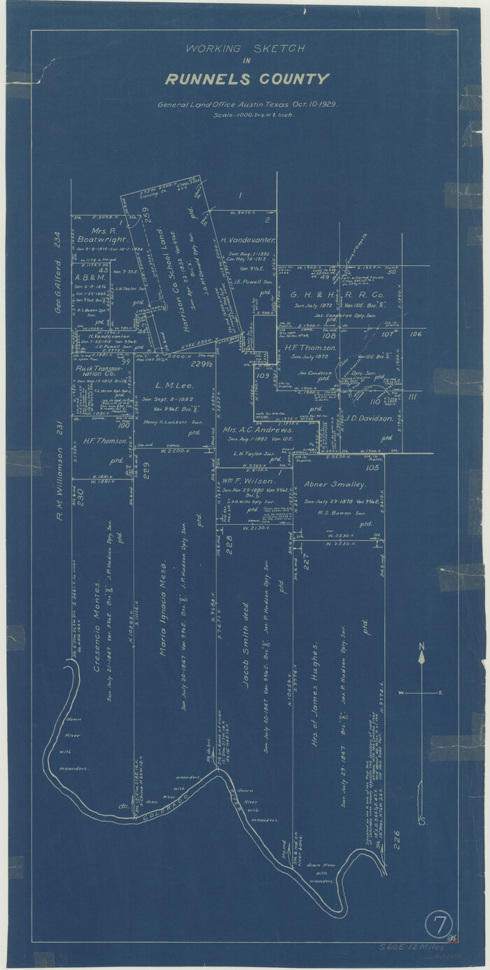

Print $20.00
- Digital $50.00
Runnels County Working Sketch 7
1929
Size 29.5 x 14.9 inches
Map/Doc 63603

