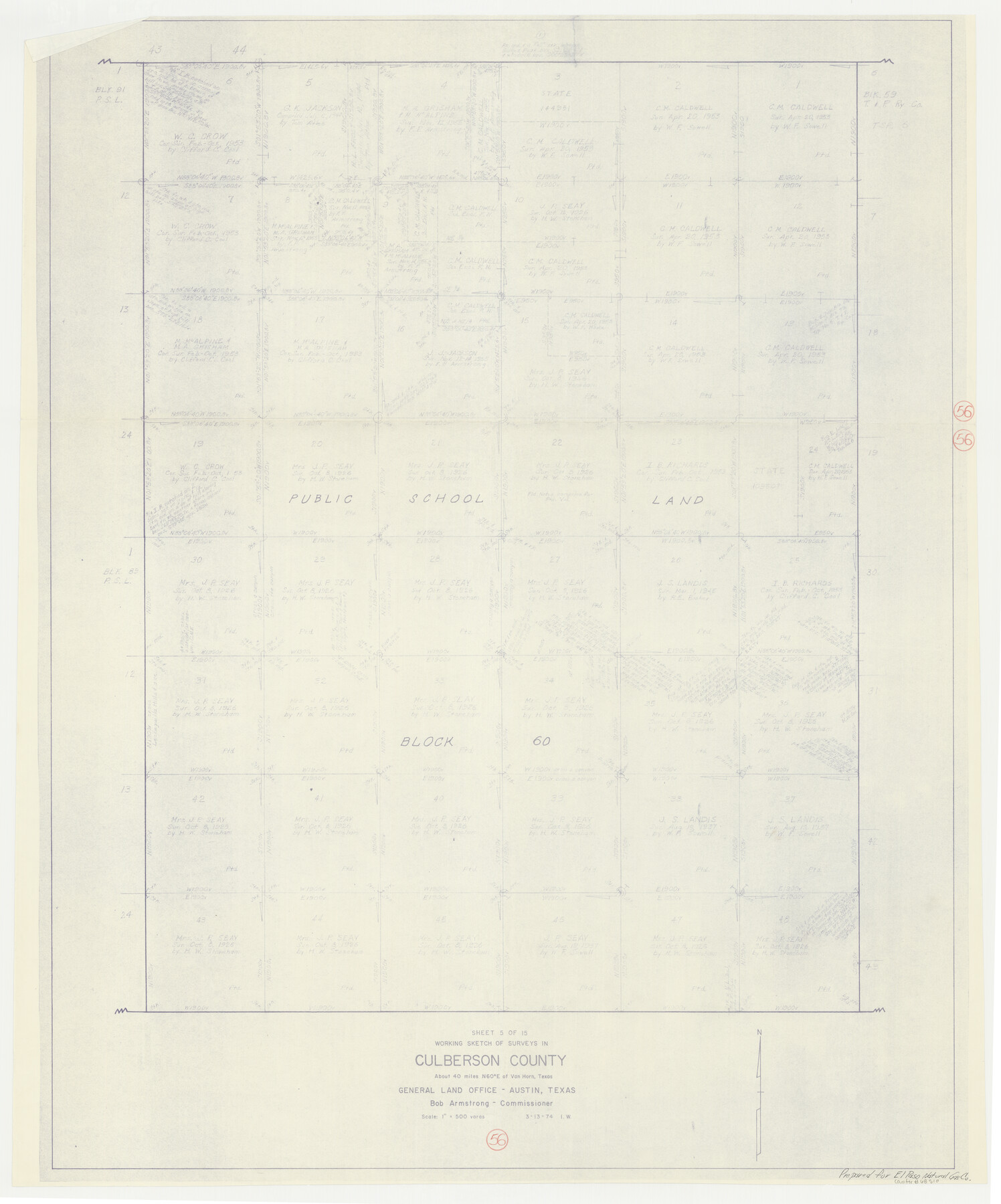
Culberson County Working Sketch 56
-
Map/Doc
68510
-
Collection
General Map Collection
-
Object Dates
3/13/1974 (Creation Date)
-
Counties
Culberson
-
Subjects
Surveying Working Sketch
-
Height x Width
38.7 x 32.1 inches
98.3 x 81.5 cm
-
Scale
1" = 500 varas
Part of: General Map Collection
Coke County Rolled Sketch 16A

Print $20.00
- Digital $50.00
Coke County Rolled Sketch 16A
Size 32.3 x 30.4 inches
Map/Doc 5518
Outer Continental Shelf Leasing Maps (Texas Offshore Operations)

Print $20.00
- Digital $50.00
Outer Continental Shelf Leasing Maps (Texas Offshore Operations)
Size 29.9 x 21.7 inches
Map/Doc 75857
Chambers County Rolled Sketch 12

Print $20.00
- Digital $50.00
Chambers County Rolled Sketch 12
1935
Size 36.4 x 30.9 inches
Map/Doc 8613
Crosby County Sketch File 10

Print $12.00
- Digital $50.00
Crosby County Sketch File 10
1887
Size 12.8 x 8.2 inches
Map/Doc 20011
Travis County Rolled Sketch 56

Print $20.00
- Digital $50.00
Travis County Rolled Sketch 56
1885
Size 16.7 x 23.2 inches
Map/Doc 8047

Ward County Working Sketch 44

Print $40.00
- Digital $50.00
Ward County Working Sketch 44
1973
Size 50.8 x 34.6 inches
Map/Doc 72350
Stephens County Sketch File 10a

Print $8.00
- Digital $50.00
Stephens County Sketch File 10a
1884
Size 12.7 x 8.5 inches
Map/Doc 37044
El Paso County Boundary File 8

Print $14.00
- Digital $50.00
El Paso County Boundary File 8
Size 12.8 x 8.3 inches
Map/Doc 53104
Uvalde County Sketch File 26-2

Print $6.00
- Digital $50.00
Uvalde County Sketch File 26-2
1942
Size 11.4 x 9.0 inches
Map/Doc 39020
[Surveys in Austin's Colony along the east bank of the Navidad River]
![211, [Surveys in Austin's Colony along the east bank of the Navidad River], General Map Collection](https://historictexasmaps.com/wmedia_w700/maps/211.tif.jpg)
Print $20.00
- Digital $50.00
[Surveys in Austin's Colony along the east bank of the Navidad River]
1827
Size 20.2 x 16.1 inches
Map/Doc 211
Culberson County Sketch File 29

Print $20.00
- Digital $50.00
Culberson County Sketch File 29
1949
Size 20.3 x 16.4 inches
Map/Doc 11270
You may also like
Flight Mission No. CRE-1R, Frame 136, Jackson County

Print $20.00
- Digital $50.00
Flight Mission No. CRE-1R, Frame 136, Jackson County
1956
Size 16.0 x 15.9 inches
Map/Doc 85344
Plat Showing Position of Hancock Tract and the City of Austin

Print $20.00
- Digital $50.00
Plat Showing Position of Hancock Tract and the City of Austin
Size 22.4 x 17.5 inches
Map/Doc 599
[F. W. & D. C. Ry. Co. Alignment and Right of Way Map, Clay County]
![64731, [F. W. & D. C. Ry. Co. Alignment and Right of Way Map, Clay County], General Map Collection](https://historictexasmaps.com/wmedia_w700/maps/64731-1.tif.jpg)
Print $20.00
- Digital $50.00
[F. W. & D. C. Ry. Co. Alignment and Right of Way Map, Clay County]
1927
Size 18.7 x 11.8 inches
Map/Doc 64731
Harrison County Sketch File 13

Print $20.00
- Digital $50.00
Harrison County Sketch File 13
1907
Size 15.2 x 19.0 inches
Map/Doc 11688
[Surveying Sketch of John Knight, Champion Choate, A. M. Lejarza, et al in Hardin County, Texas - Exhibit "G"]
![75821, [Surveying Sketch of John Knight, Champion Choate, A. M. Lejarza, et al in Hardin County, Texas - Exhibit "G"], Maddox Collection](https://historictexasmaps.com/wmedia_w700/maps/75821.tif.jpg)
Print $20.00
- Digital $50.00
[Surveying Sketch of John Knight, Champion Choate, A. M. Lejarza, et al in Hardin County, Texas - Exhibit "G"]
Size 18.3 x 23.5 inches
Map/Doc 75821
Current Miscellaneous File 24

Print $26.00
- Digital $50.00
Current Miscellaneous File 24
1953
Size 10.6 x 8.2 inches
Map/Doc 73883
Bexar County Sketch File 1

Print $42.00
- Digital $50.00
Bexar County Sketch File 1
1848
Size 12.5 x 16.2 inches
Map/Doc 14465
Medina County Boundary File 2

Print $11.00
- Digital $50.00
Medina County Boundary File 2
Size 13.0 x 8.1 inches
Map/Doc 57026
Blanco County Working Sketch 3

Print $20.00
- Digital $50.00
Blanco County Working Sketch 3
Size 14.4 x 16.1 inches
Map/Doc 78189
Mitchell County Rolled Sketch 2B

Print $20.00
- Digital $50.00
Mitchell County Rolled Sketch 2B
Size 26.9 x 18.6 inches
Map/Doc 6784
Controlled Mosaic by Jack Amman Photogrammetric Engineers, Inc - Sheet 20

Print $20.00
- Digital $50.00
Controlled Mosaic by Jack Amman Photogrammetric Engineers, Inc - Sheet 20
1954
Size 20.0 x 24.0 inches
Map/Doc 83468
Pecos County Working Sketch 86

Print $20.00
- Digital $50.00
Pecos County Working Sketch 86
1962
Size 39.0 x 32.7 inches
Map/Doc 71558