Map from Corpus Christi to Matagorda Bays, Texas [Inset: Survey of the channel of Copono Bay]
RL-4-6a
-
Map/Doc
72975
-
Collection
General Map Collection
-
Object Dates
1846/3/5 (Creation Date)
-
People and Organizations
Corps Engineers (Publisher)
George Meade (Compiler)
I.M. Scarritt (Compiler)
-
Subjects
Nautical Charts
-
Height x Width
18.3 x 27.4 inches
46.5 x 69.6 cm
-
Comments
B/W photostat copy from National Archives in multiple pieces.
Part of: General Map Collection
Armstrong County Boundary File 1b
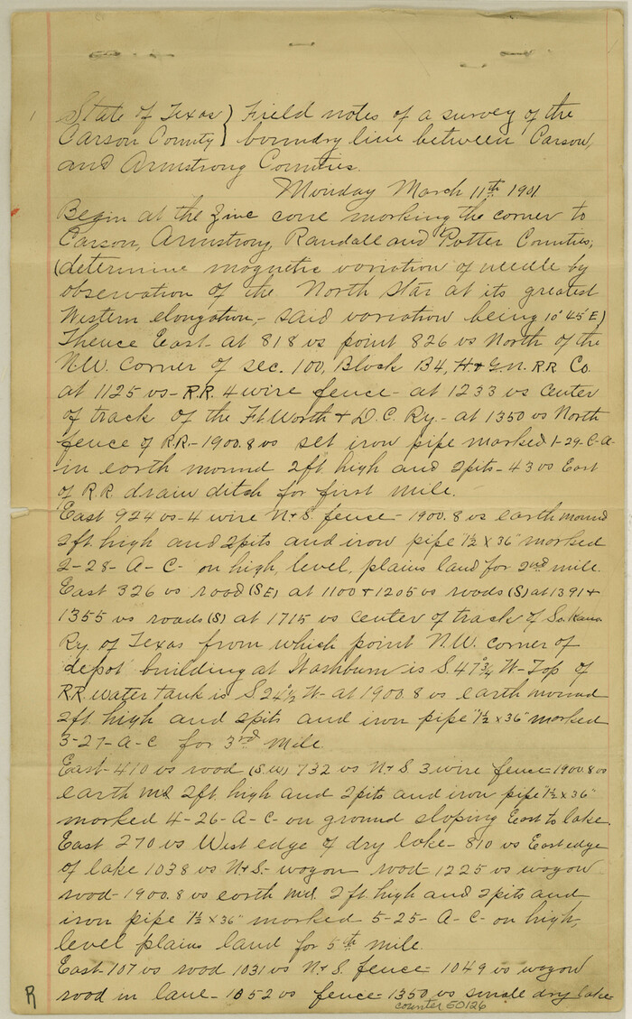

Print $12.00
- Digital $50.00
Armstrong County Boundary File 1b
Size 14.1 x 8.7 inches
Map/Doc 50126
Prison Property, Walker County


Print $20.00
- Digital $50.00
Prison Property, Walker County
Size 32.6 x 22.7 inches
Map/Doc 94279
Kaufman County
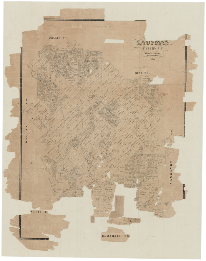

Print $20.00
- Digital $50.00
Kaufman County
1854
Size 30.8 x 24.2 inches
Map/Doc 78485
Liberty County Sketch File 58

Print $2.00
- Digital $50.00
Liberty County Sketch File 58
Size 8.9 x 7.7 inches
Map/Doc 30060
Fractional Township No. 7 South Range No. 1 West of the Indian Meridian, Indian Territory
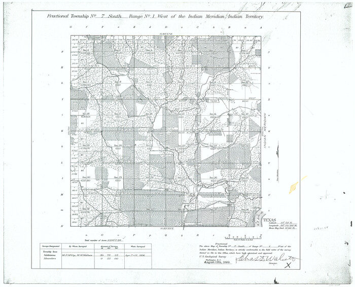

Print $4.00
- Digital $50.00
Fractional Township No. 7 South Range No. 1 West of the Indian Meridian, Indian Territory
1898
Size 18.1 x 22.4 inches
Map/Doc 75145
Potter County Sketch File 10


Print $40.00
- Digital $50.00
Potter County Sketch File 10
Size 58.9 x 37.7 inches
Map/Doc 10576
Port Facilities at Houston, Tex.


Print $20.00
- Digital $50.00
Port Facilities at Houston, Tex.
1924
Size 14.1 x 30.3 inches
Map/Doc 97167
San Saba County Sketch File 13A
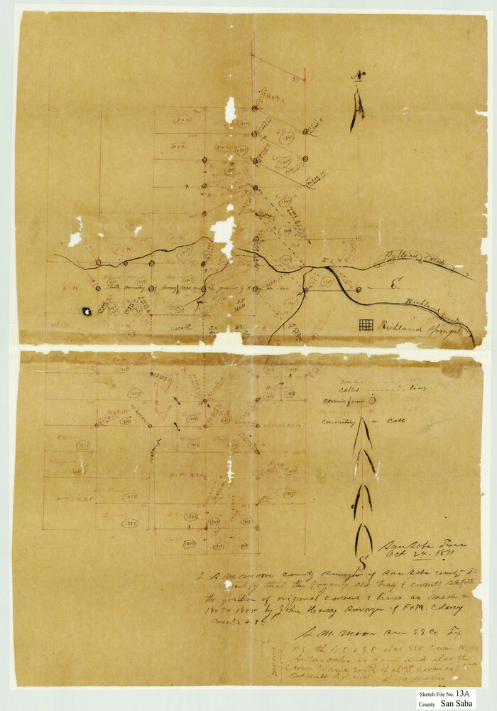

Print $20.00
- Digital $50.00
San Saba County Sketch File 13A
1891
Size 25.2 x 17.6 inches
Map/Doc 12292
Eastern Hemisphere


Print $20.00
- Digital $50.00
Eastern Hemisphere
1885
Size 12.2 x 9.0 inches
Map/Doc 93511
Pecos County Rolled Sketch DK1
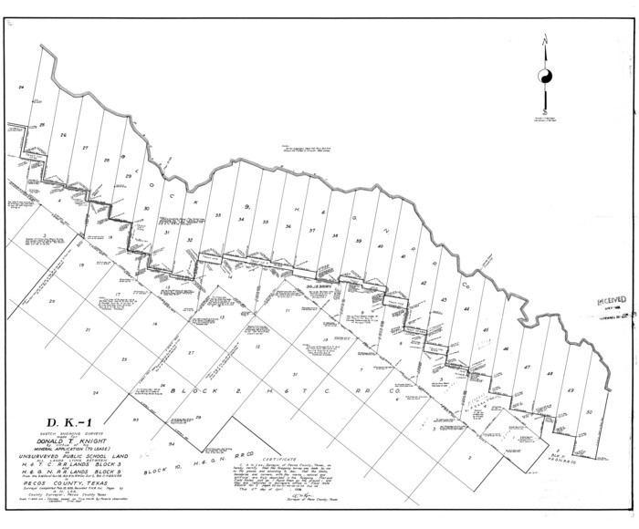

Print $20.00
- Digital $50.00
Pecos County Rolled Sketch DK1
1938
Size 36.2 x 43.7 inches
Map/Doc 9713
San Patricio County Working Sketch 3


Print $20.00
- Digital $50.00
San Patricio County Working Sketch 3
1917
Size 22.2 x 42.7 inches
Map/Doc 63765
You may also like
Val Verde County Working Sketch 45
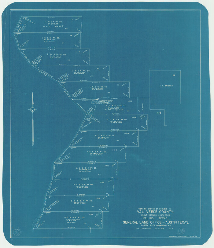

Print $20.00
- Digital $50.00
Val Verde County Working Sketch 45
1945
Size 29.2 x 25.2 inches
Map/Doc 72180
Dimmit County Rolled Sketch 12


Print $20.00
- Digital $50.00
Dimmit County Rolled Sketch 12
1942
Size 19.8 x 21.5 inches
Map/Doc 5721
Schleicher County Sketch File 46

Print $4.00
- Digital $50.00
Schleicher County Sketch File 46
1958
Size 3.7 x 8.8 inches
Map/Doc 36554
Colorado County Rolled Sketch 1
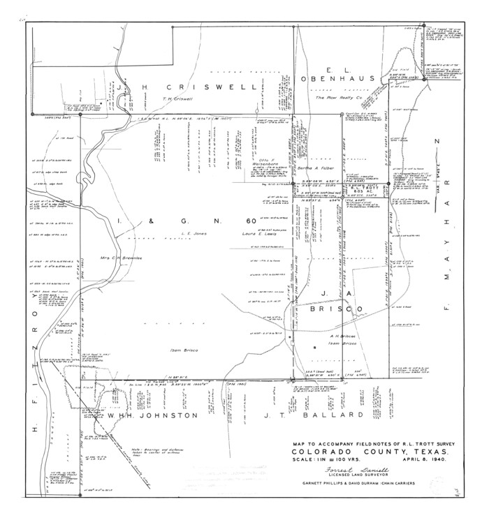

Print $20.00
- Digital $50.00
Colorado County Rolled Sketch 1
1940
Size 37.6 x 35.5 inches
Map/Doc 8640
Val Verde County Rolled Sketch 86
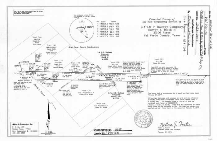

Print $20.00
- Digital $50.00
Val Verde County Rolled Sketch 86
2014
Size 11.9 x 18.4 inches
Map/Doc 93690
Oil Fields of the Texas-Louisiana Gulf Coastal Plain
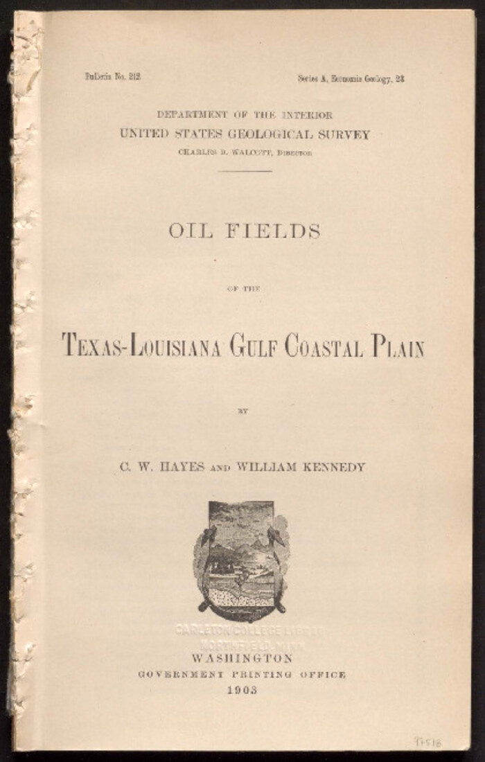

Oil Fields of the Texas-Louisiana Gulf Coastal Plain
1903
Map/Doc 97518
Fort Bend County Boundary File 2
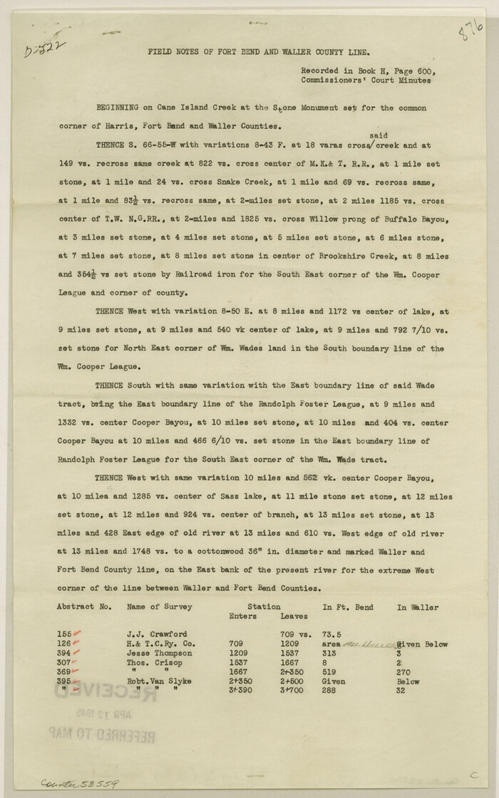

Print $8.00
- Digital $50.00
Fort Bend County Boundary File 2
Size 14.3 x 8.9 inches
Map/Doc 53559
Terrell County Working Sketch 25


Print $40.00
- Digital $50.00
Terrell County Working Sketch 25
1942
Size 41.9 x 49.1 inches
Map/Doc 62175
No. 2 Chart of Corpus Christi Pass, Texas


Print $20.00
- Digital $50.00
No. 2 Chart of Corpus Christi Pass, Texas
1878
Size 18.4 x 27.5 inches
Map/Doc 73023
Erath County Working Sketch 13
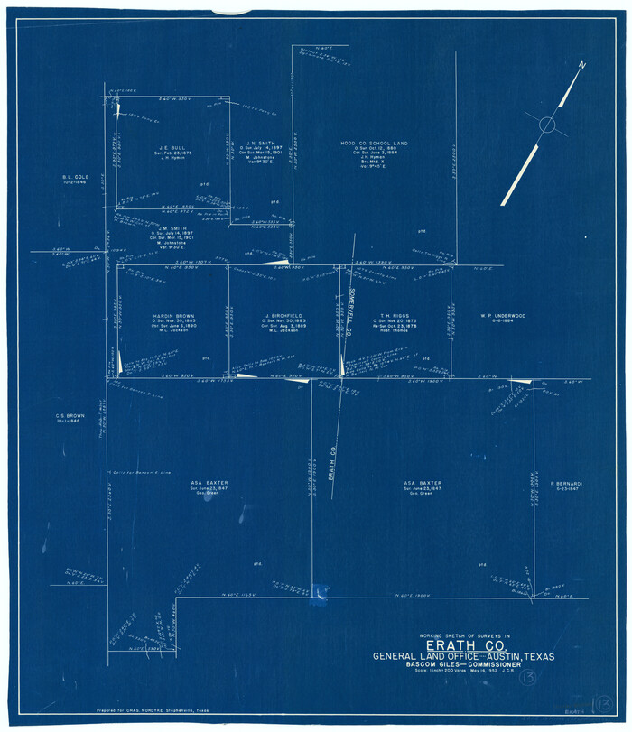

Print $20.00
- Digital $50.00
Erath County Working Sketch 13
1952
Size 31.4 x 27.1 inches
Map/Doc 69094
[Surveys in the Milam District on Bosque River and Spring Creek]
![3170, [Surveys in the Milam District on Bosque River and Spring Creek], General Map Collection](https://historictexasmaps.com/wmedia_w700/maps/3170.tif.jpg)
![3170, [Surveys in the Milam District on Bosque River and Spring Creek], General Map Collection](https://historictexasmaps.com/wmedia_w700/maps/3170.tif.jpg)
Print $20.00
- Digital $50.00
[Surveys in the Milam District on Bosque River and Spring Creek]
1846
Size 13.3 x 14.7 inches
Map/Doc 3170
![72975, Map from Corpus Christi to Matagorda Bays, Texas [Inset: Survey of the channel of Copono Bay], General Map Collection](https://historictexasmaps.com/wmedia_w1800h1800/maps/72975.tif.jpg)
