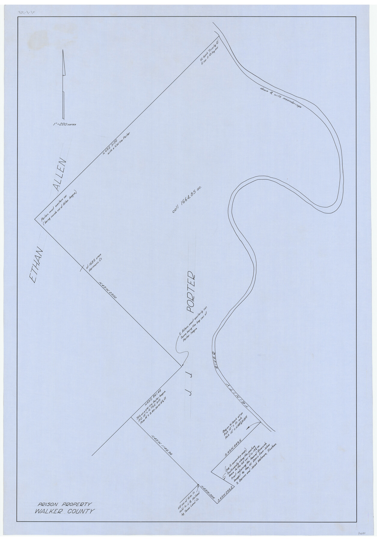
Prison Property, Walker County
RG-1-1c
-
Map/Doc
94279
-
Collection
General Map Collection
-
Counties
Walker
-
Subjects
Prison Farms
-
Height x Width
32.6 x 22.7 inches
82.8 x 57.7 cm
-
Medium
linen, manuscript
-
Scale
1" = 200 varas
Part of: General Map Collection

Bandera County Working Sketch 21

Print $20.00
- Digital $50.00
Bandera County Working Sketch 21
1948
Size 21.1 x 16.7 inches
Map/Doc 67617
Glasscock County Working Sketch Graphic Index

Print $20.00
- Digital $50.00
Glasscock County Working Sketch Graphic Index
1933
Size 43.7 x 37.0 inches
Map/Doc 76554
Hardeman County

Print $20.00
- Digital $50.00
Hardeman County
1876
Size 24.1 x 31.5 inches
Map/Doc 3625
Webb County Sketch File LM3

Print $20.00
- Digital $50.00
Webb County Sketch File LM3
1924
Size 24.7 x 31.9 inches
Map/Doc 12658
Flight Mission No. DQO-8K, Frame 6, Galveston County

Print $20.00
- Digital $50.00
Flight Mission No. DQO-8K, Frame 6, Galveston County
1952
Size 18.8 x 22.3 inches
Map/Doc 85129
Menard County Working Sketch 21

Print $20.00
- Digital $50.00
Menard County Working Sketch 21
1948
Size 32.1 x 41.7 inches
Map/Doc 70968
Flight Mission No. BRA-7M, Frame 8, Jefferson County

Print $20.00
- Digital $50.00
Flight Mission No. BRA-7M, Frame 8, Jefferson County
1953
Size 18.6 x 22.4 inches
Map/Doc 85459
Morris County Rolled Sketch 2A

Print $20.00
- Digital $50.00
Morris County Rolled Sketch 2A
Size 24.0 x 18.8 inches
Map/Doc 10257
Orange County NRC Article 33.136 Sketch 3

Print $16.00
- Digital $50.00
Orange County NRC Article 33.136 Sketch 3
2011
Size 11.0 x 8.5 inches
Map/Doc 93267
Flight Mission No. CRC-2R, Frame 133, Chambers County

Print $20.00
- Digital $50.00
Flight Mission No. CRC-2R, Frame 133, Chambers County
1956
Size 18.7 x 22.5 inches
Map/Doc 84749
Hardeman County Boundary File 38

Print $70.00
- Digital $50.00
Hardeman County Boundary File 38
Size 12.9 x 8.2 inches
Map/Doc 54400
You may also like
Cameron County Rolled Sketch 15

Print $40.00
- Digital $50.00
Cameron County Rolled Sketch 15
1958
Size 53.0 x 32.0 inches
Map/Doc 8568


Webb County Rolled Sketch 47

Print $20.00
- Digital $50.00
Webb County Rolled Sketch 47
Size 23.5 x 31.7 inches
Map/Doc 8203
Topographical Map of the Rio Grande, Sheet No. 13

Print $20.00
- Digital $50.00
Topographical Map of the Rio Grande, Sheet No. 13
1912
Map/Doc 89537
Right of Way and Track Map, the Missouri, Kansas & Texas Ry. Of Texas operated by the Missouri, Kansas & Texas Ry. Of Texas, Houston Division

Print $40.00
- Digital $50.00
Right of Way and Track Map, the Missouri, Kansas & Texas Ry. Of Texas operated by the Missouri, Kansas & Texas Ry. Of Texas, Houston Division
1918
Size 25.6 x 62.5 inches
Map/Doc 64786
El Paso County Rolled Sketch 49

Print $40.00
- Digital $50.00
El Paso County Rolled Sketch 49
Size 10.5 x 99.9 inches
Map/Doc 8875
Reagan County Rolled Sketch 15

Print $20.00
- Digital $50.00
Reagan County Rolled Sketch 15
Size 16.7 x 22.7 inches
Map/Doc 7443
Llano County Rolled Sketch 2

Print $20.00
- Digital $50.00
Llano County Rolled Sketch 2
Size 18.2 x 27.3 inches
Map/Doc 9459
Fort Bend County Working Sketch 24

Print $20.00
- Digital $50.00
Fort Bend County Working Sketch 24
1981
Size 27.1 x 30.5 inches
Map/Doc 69230
Subdivision Map, Calhoun County School Land Leagues 1-4, Located in Hale and Floyd Counties

Print $20.00
- Digital $50.00
Subdivision Map, Calhoun County School Land Leagues 1-4, Located in Hale and Floyd Counties
Size 28.1 x 31.5 inches
Map/Doc 92660
Matagorda County Sketch File 30

Print $20.00
- Digital $50.00
Matagorda County Sketch File 30
1911
Size 22.2 x 31.9 inches
Map/Doc 12045