Wharton County Rolled Sketch 7
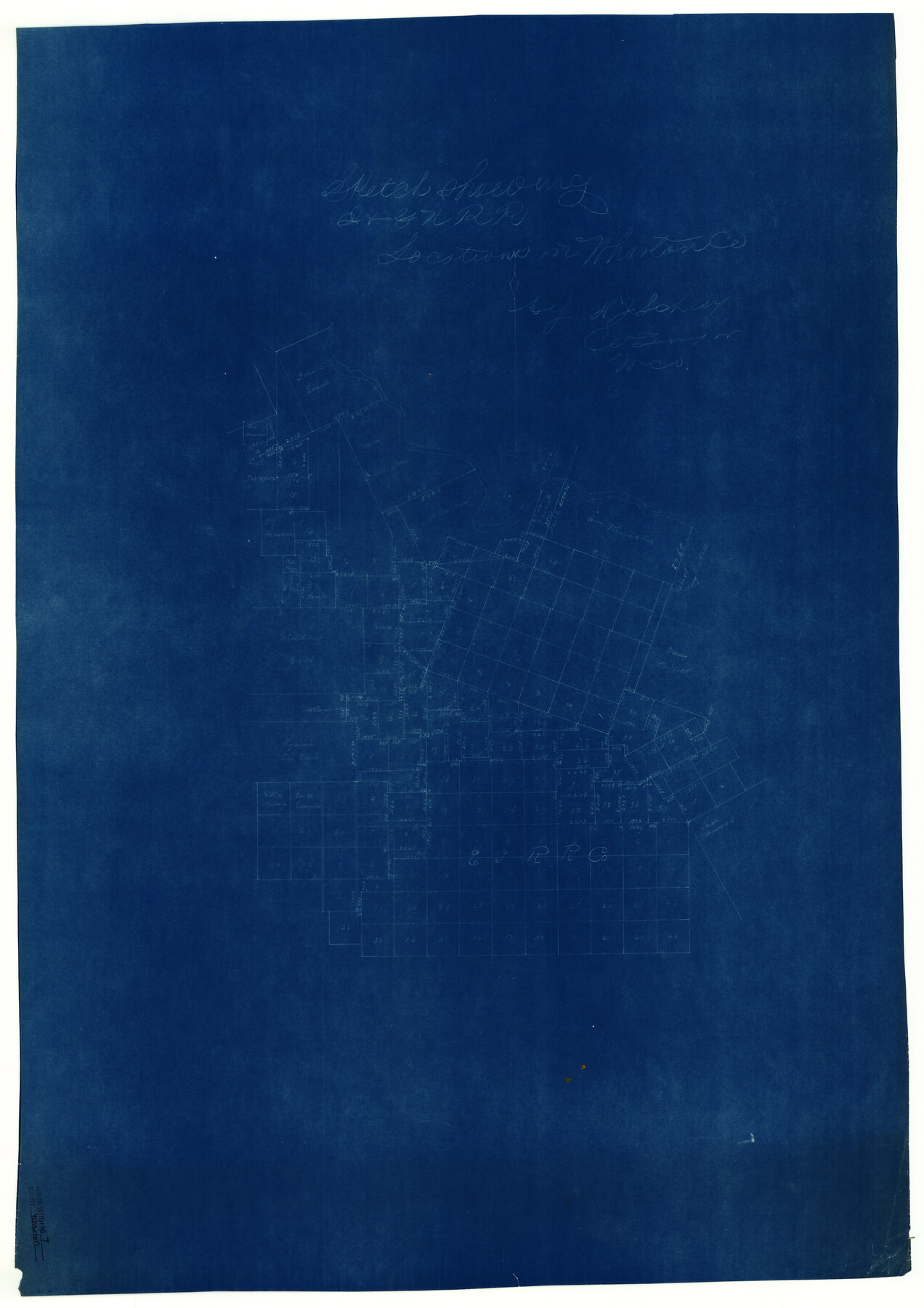
Sketch showing I. & G. N. R.R. locations in Wharton Co.
-
Map/Doc
8231
-
Collection
General Map Collection
-
Counties
Wharton
-
Subjects
Surveying Rolled Sketch
-
Height x Width
38.0 x 26.9 inches
96.5 x 68.3 cm
-
Medium
blueprint/diazo
Part of: General Map Collection
Orange County Working Sketch 16

Print $20.00
- Digital $50.00
Orange County Working Sketch 16
1929
Size 25.0 x 24.2 inches
Map/Doc 71348
Morris County Rolled Sketch 2A

Print $20.00
- Digital $50.00
Morris County Rolled Sketch 2A
Size 22.7 x 17.7 inches
Map/Doc 10227
Flight Mission No. BRA-7M, Frame 26, Jefferson County

Print $20.00
- Digital $50.00
Flight Mission No. BRA-7M, Frame 26, Jefferson County
1953
Size 18.4 x 22.2 inches
Map/Doc 85477
Harrison County Rolled Sketch 6

Print $20.00
- Digital $50.00
Harrison County Rolled Sketch 6
1952
Size 23.4 x 24.2 inches
Map/Doc 6152
Haskell County Sketch File 24

Print $20.00
- Digital $50.00
Haskell County Sketch File 24
Size 17.8 x 28.5 inches
Map/Doc 11747
Edwards County Rolled Sketch 20

Print $20.00
- Digital $50.00
Edwards County Rolled Sketch 20
1947
Size 31.6 x 40.4 inches
Map/Doc 8844
Aransas County Rolled Sketch 8

Print $20.00
- Digital $50.00
Aransas County Rolled Sketch 8
Size 41.0 x 43.5 inches
Map/Doc 8408
Walker County State Real Property Sketch 1

Print $20.00
- Digital $50.00
Walker County State Real Property Sketch 1
2003
Size 35.8 x 30.3 inches
Map/Doc 78585
Marion County Working Sketch 31

Print $20.00
- Digital $50.00
Marion County Working Sketch 31
1981
Size 35.4 x 40.0 inches
Map/Doc 70807
Flight Mission No. BRE-2P, Frame 75, Nueces County

Print $20.00
- Digital $50.00
Flight Mission No. BRE-2P, Frame 75, Nueces County
1956
Size 18.5 x 22.5 inches
Map/Doc 86770
Upton County Rolled Sketch 13

Print $20.00
- Digital $50.00
Upton County Rolled Sketch 13
1926
Size 32.5 x 43.6 inches
Map/Doc 10037
[Galveston, Harrisburg & San Antonio Railroad from Cuero to Stockdale]
![64196, [Galveston, Harrisburg & San Antonio Railroad from Cuero to Stockdale], General Map Collection](https://historictexasmaps.com/wmedia_w700/maps/64196.tif.jpg)
Print $20.00
- Digital $50.00
[Galveston, Harrisburg & San Antonio Railroad from Cuero to Stockdale]
1907
Size 13.7 x 34.0 inches
Map/Doc 64196
You may also like
Fractional Township No. 7 South Range No. 7 West of the Indian Meridian, Indian Territory

Print $20.00
- Digital $50.00
Fractional Township No. 7 South Range No. 7 West of the Indian Meridian, Indian Territory
1898
Size 19.2 x 24.4 inches
Map/Doc 75168
Trinity River, Drop Sheet/Denton Creek

Print $20.00
- Digital $50.00
Trinity River, Drop Sheet/Denton Creek
1940
Size 36.9 x 34.0 inches
Map/Doc 65257
Matagorda County Sketch File 6

Print $4.00
- Digital $50.00
Matagorda County Sketch File 6
Size 8.0 x 4.9 inches
Map/Doc 30738
Johnson County Working Sketch 13

Print $20.00
- Digital $50.00
Johnson County Working Sketch 13
1969
Size 32.0 x 41.0 inches
Map/Doc 66626
Blanco County Working Sketch 10

Print $20.00
- Digital $50.00
Blanco County Working Sketch 10
1938
Size 28.3 x 25.8 inches
Map/Doc 67370
El Paso County Boundary File 14a

Print $7.00
- Digital $50.00
El Paso County Boundary File 14a
Size 11.1 x 8.7 inches
Map/Doc 53183
Gray County Boundary File 5

Print $6.00
- Digital $50.00
Gray County Boundary File 5
Size 11.9 x 9.4 inches
Map/Doc 53893
Webb County Sketch File 9a

Print $20.00
- Digital $50.00
Webb County Sketch File 9a
1930
Size 31.4 x 23.9 inches
Map/Doc 12619
Concho County Sketch File 32

Print $20.00
- Digital $50.00
Concho County Sketch File 32
Size 29.6 x 26.7 inches
Map/Doc 11157
Newton County Sketch File 43

Print $12.00
- Digital $50.00
Newton County Sketch File 43
1944
Size 11.2 x 8.6 inches
Map/Doc 32435
Flight Mission No. BRE-1P, Frame 11, Nueces County

Print $20.00
- Digital $50.00
Flight Mission No. BRE-1P, Frame 11, Nueces County
1956
Size 18.6 x 22.6 inches
Map/Doc 86619
Brooks County Working Sketch 3

Print $20.00
- Digital $50.00
Brooks County Working Sketch 3
Size 16.2 x 21.3 inches
Map/Doc 67787