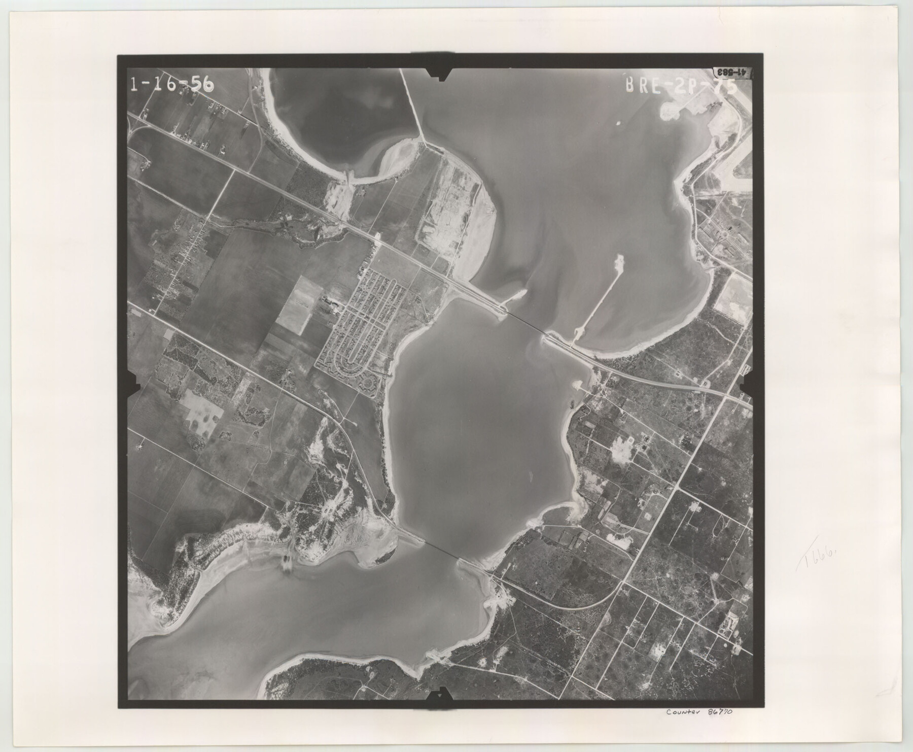
Flight Mission No. BRE-2P, Frame 75, Nueces County
BRE-2P-75
-
Map/Doc
86770
-
Collection
General Map Collection
-
Object Dates
1956/1/16 (Creation Date)
-
People and Organizations
U. S. Department of Agriculture (Publisher)
-
Counties
Nueces
-
Subjects
Aerial Photograph
-
Height x Width
18.5 x 22.5 inches
47.0 x 57.2 cm
-
Comments
Flown by V. L. Beavers and Associates of San Antonio, Texas.
Part of: General Map Collection
Liberty County Working Sketch 43

Print $20.00
- Digital $50.00
Liberty County Working Sketch 43
1953
Size 30.6 x 43.7 inches
Map/Doc 70502
Andrews County Working Sketch 12

Print $20.00
- Digital $50.00
Andrews County Working Sketch 12
1956
Size 35.5 x 25.3 inches
Map/Doc 67058
Starr County Sketch File 21

Print $52.00
- Digital $50.00
Starr County Sketch File 21
1912
Size 14.2 x 8.7 inches
Map/Doc 36889
Gulf of Mexico

Print $20.00
- Digital $50.00
Gulf of Mexico
1908
Size 18.4 x 27.0 inches
Map/Doc 72657
Schleicher County Sketch File 38

Print $20.00
- Digital $50.00
Schleicher County Sketch File 38
Size 19.1 x 21.7 inches
Map/Doc 12311
Austin County

Print $20.00
- Digital $50.00
Austin County
1943
Size 40.1 x 42.5 inches
Map/Doc 73073
Plan C, Part 3rd This plan represents that portion of the boundary between the Republic of Texas and the United States included between the 72nd mile mound and Red River

Print $20.00
- Digital $50.00
Plan C, Part 3rd This plan represents that portion of the boundary between the Republic of Texas and the United States included between the 72nd mile mound and Red River
1842
Size 19.3 x 27.2 inches
Map/Doc 65414
Midland County Rolled Sketch 6

Print $20.00
- Digital $50.00
Midland County Rolled Sketch 6
1951
Size 39.8 x 28.6 inches
Map/Doc 6764

Real County Working Sketch 64

Print $20.00
- Digital $50.00
Real County Working Sketch 64
1968
Size 31.4 x 30.0 inches
Map/Doc 71956
Map of Llano County

Print $20.00
- Digital $50.00
Map of Llano County
1859
Size 28.6 x 21.7 inches
Map/Doc 3826
Duval County Rolled Sketch E

Print $20.00
- Digital $50.00
Duval County Rolled Sketch E
1935
Size 36.4 x 37.7 inches
Map/Doc 8808
You may also like
Flight Mission No. CGI-4N, Frame 172, Cameron County

Print $20.00
- Digital $50.00
Flight Mission No. CGI-4N, Frame 172, Cameron County
1955
Size 18.5 x 22.3 inches
Map/Doc 84675
Flight Mission No. DAG-26K, Frame 58, Matagorda County

Print $20.00
- Digital $50.00
Flight Mission No. DAG-26K, Frame 58, Matagorda County
1953
Size 18.5 x 16.1 inches
Map/Doc 86578
Garza County Rolled Sketch 6E

Print $20.00
- Digital $50.00
Garza County Rolled Sketch 6E
1913
Size 19.2 x 15.6 inches
Map/Doc 5999
Wm. H. Bush Estate Resurveyed by W. D. Twichell May 1905

Print $40.00
- Digital $50.00
Wm. H. Bush Estate Resurveyed by W. D. Twichell May 1905
1905
Size 37.1 x 57.7 inches
Map/Doc 89788
Delta County Working Sketch Graphic Index

Print $20.00
- Digital $50.00
Delta County Working Sketch Graphic Index
1942
Size 25.3 x 39.2 inches
Map/Doc 76520
Wichita County Sketch File 29

Print $9.00
- Digital $50.00
Wichita County Sketch File 29
1930
Size 11.3 x 8.8 inches
Map/Doc 40132
Edwards County Working Sketch 130

Print $20.00
- Digital $50.00
Edwards County Working Sketch 130
1982
Size 29.3 x 26.8 inches
Map/Doc 69006
Terrell County Working Sketch 70

Print $20.00
- Digital $50.00
Terrell County Working Sketch 70
1979
Size 39.0 x 36.5 inches
Map/Doc 69591
Young County Sketch File 16

Print $4.00
- Digital $50.00
Young County Sketch File 16
1896
Size 10.3 x 8.5 inches
Map/Doc 40880
Chicago & Rock Island

Print $40.00
- Digital $50.00
Chicago & Rock Island
1892
Size 8.4 x 70.7 inches
Map/Doc 64498
Cameron County State Real Property Sketch 1

Print $20.00
- Digital $50.00
Cameron County State Real Property Sketch 1
1996
Size 25.1 x 38.9 inches
Map/Doc 80130
Colorado County Rolled Sketch 3

Print $20.00
- Digital $50.00
Colorado County Rolled Sketch 3
1943
Size 42.4 x 38.7 inches
Map/Doc 8641