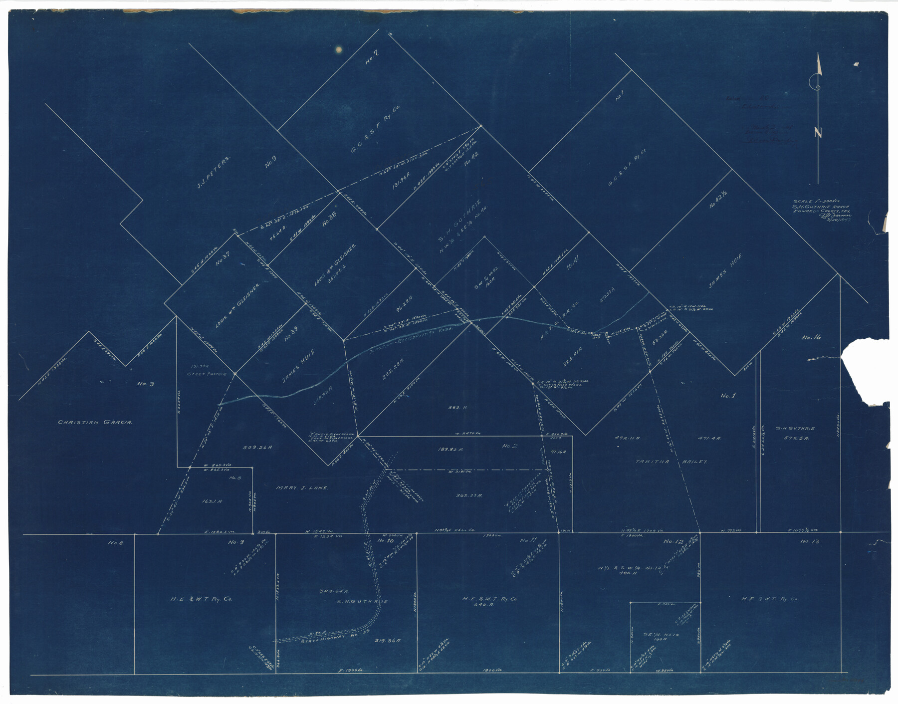
Edwards County Rolled Sketch 20
S.H. Guthrie Ranch
-
Map/Doc
8844
-
Collection
General Map Collection
-
Object Dates
1947/3/20 (Creation Date)
1948/3/3 (File Date)
-
People and Organizations
A.G. Farmer (Surveyor/Engineer)
-
Counties
Edwards
-
Subjects
Surveying Rolled Sketch
-
Height x Width
31.6 x 40.4 inches
80.3 x 102.6 cm
-
Medium
blueprint/diazo
-
Scale
1" = 300 varas
Part of: General Map Collection
Stephens County Rolled Sketch 6

Print $20.00
- Digital $50.00
Stephens County Rolled Sketch 6
Size 37.1 x 36.0 inches
Map/Doc 8360
Harris County Rolled Sketch 28(1)

Print $39.00
- Digital $50.00
Harris County Rolled Sketch 28(1)
Size 10.0 x 15.3 inches
Map/Doc 45770
Kent County Sketch File 7

Print $20.00
- Digital $50.00
Kent County Sketch File 7
1902
Size 21.7 x 37.6 inches
Map/Doc 10514
[Sketch for Mineral Application 19560 - 19588 - San Bernard River]
![65662, [Sketch for Mineral Application 19560 - 19588 - San Bernard River], General Map Collection](https://historictexasmaps.com/wmedia_w700/maps/65662.tif.jpg)
Print $40.00
- Digital $50.00
[Sketch for Mineral Application 19560 - 19588 - San Bernard River]
Size 31.6 x 73.6 inches
Map/Doc 65662
Map of Leon County

Print $40.00
- Digital $50.00
Map of Leon County
1916
Size 48.4 x 40.8 inches
Map/Doc 16877
Titus County Working Sketch Graphic Index

Print $20.00
- Digital $50.00
Titus County Working Sketch Graphic Index
1948
Size 40.2 x 29.0 inches
Map/Doc 76714
Harrison County

Print $20.00
- Digital $50.00
Harrison County
1920
Size 45.1 x 41.8 inches
Map/Doc 1850
Dimmit County Working Sketch 10

Print $20.00
- Digital $50.00
Dimmit County Working Sketch 10
1934
Size 24.2 x 40.3 inches
Map/Doc 68671
Comal County Working Sketch 19

Print $20.00
- Digital $50.00
Comal County Working Sketch 19
2006
Size 18.8 x 29.0 inches
Map/Doc 83094
Wharton County Sketch File 4

Print $20.00
- Digital $50.00
Wharton County Sketch File 4
Size 26.9 x 16.2 inches
Map/Doc 12659
Flight Mission No. CUG-2P, Frame 85, Kleberg County

Print $20.00
- Digital $50.00
Flight Mission No. CUG-2P, Frame 85, Kleberg County
1956
Size 18.5 x 22.2 inches
Map/Doc 86217
Right of Way and Track Map, International & Gt. Northern Ry. Operated by the International & Gt. Northern Ry. Co., Gulf Division

Print $40.00
- Digital $50.00
Right of Way and Track Map, International & Gt. Northern Ry. Operated by the International & Gt. Northern Ry. Co., Gulf Division
1917
Size 25.0 x 56.6 inches
Map/Doc 64249
You may also like
[Blocks S1, O6, O, A1, A2, A3, A4, JK, JK2, JK4, and JD]
![90658, [Blocks S1, O6, O, A1, A2, A3, A4, JK, JK2, JK4, and JD], Twichell Survey Records](https://historictexasmaps.com/wmedia_w700/maps/90658-1.tif.jpg)
Print $20.00
- Digital $50.00
[Blocks S1, O6, O, A1, A2, A3, A4, JK, JK2, JK4, and JD]
Size 20.3 x 21.7 inches
Map/Doc 90658
Dickens County Rolled Sketch P2

Print $20.00
- Digital $50.00
Dickens County Rolled Sketch P2
1917
Size 41.5 x 36.4 inches
Map/Doc 8784
Flight Mission No. CLL-1N, Frame 28, Willacy County

Print $20.00
- Digital $50.00
Flight Mission No. CLL-1N, Frame 28, Willacy County
1954
Size 18.5 x 22.1 inches
Map/Doc 87009
Val Verde County Sketch File 14

Print $20.00
- Digital $50.00
Val Verde County Sketch File 14
1879
Size 19.8 x 14.7 inches
Map/Doc 12565
Harris County Rolled Sketch WB

Print $20.00
- Digital $50.00
Harris County Rolled Sketch WB
1916
Size 15.5 x 21.1 inches
Map/Doc 6147
Railroad Track Map, H&TCRRCo., Falls County, Texas

Print $4.00
- Digital $50.00
Railroad Track Map, H&TCRRCo., Falls County, Texas
1918
Size 11.7 x 18.5 inches
Map/Doc 62842
Jefferson County Sketch File 37

Print $20.00
- Digital $50.00
Jefferson County Sketch File 37
Size 22.3 x 32.4 inches
Map/Doc 11875
Gaines County Sketch File 8

Print $40.00
- Digital $50.00
Gaines County Sketch File 8
1941
Size 14.2 x 17.2 inches
Map/Doc 23191
Brewster County Sketch File 50

Print $32.00
- Digital $50.00
Brewster County Sketch File 50
1995
Size 14.8 x 8.5 inches
Map/Doc 16336
[3KA and vicinity]
![90847, [3KA and vicinity], Twichell Survey Records](https://historictexasmaps.com/wmedia_w700/maps/90847-2.tif.jpg)
Print $20.00
- Digital $50.00
[3KA and vicinity]
Size 31.3 x 15.4 inches
Map/Doc 90847

Taylor County Working Sketch 20

Print $40.00
- Digital $50.00
Taylor County Working Sketch 20
1985
Size 58.7 x 36.7 inches
Map/Doc 69630