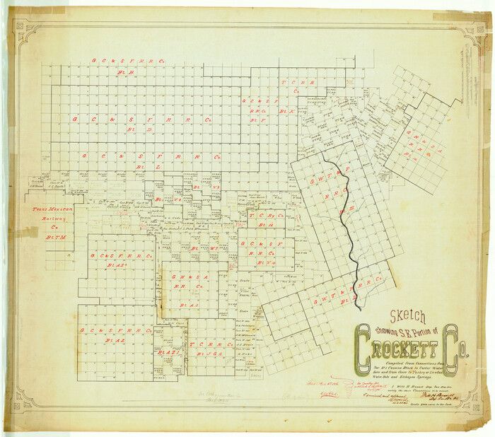
Val Verde County Rolled Sketch 36
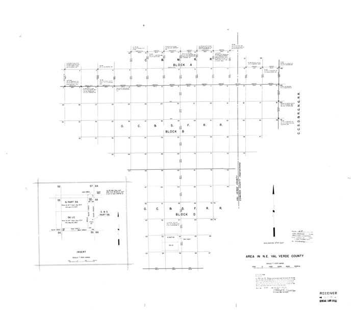
Val Verde County Rolled Sketch 63
1956
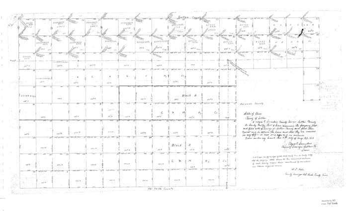
Val Verde County Sketch File A3
1917
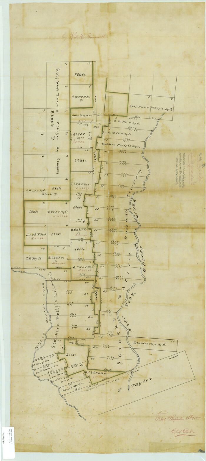
Edwards County Sketch File 9

Edwards County Sketch File A13
1901

Kinney County Sketch File 12
1885
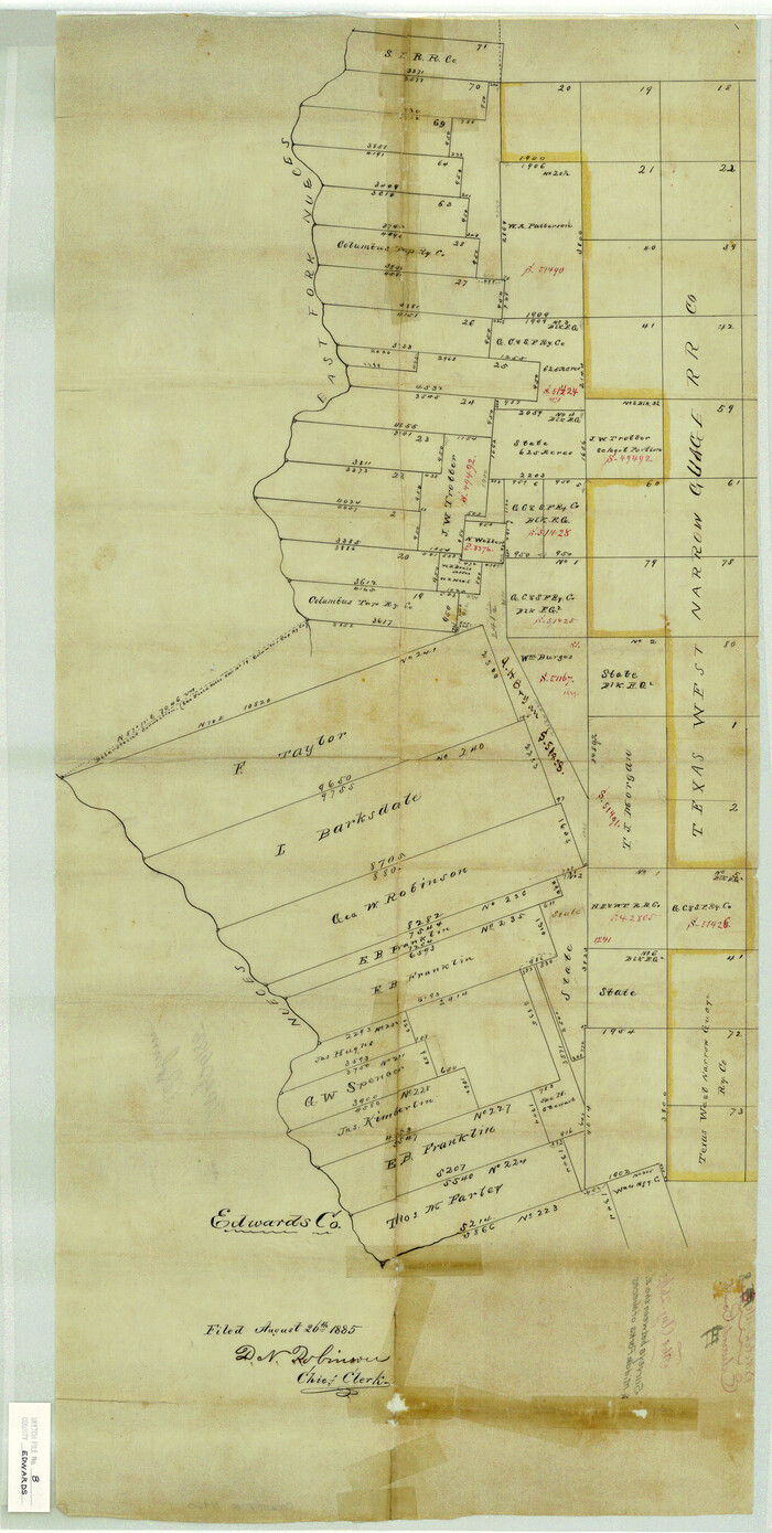
Edwards County Sketch File 8

Edwards County Sketch File 10
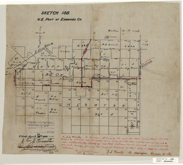
Edwards County Sketch File 10b
1903
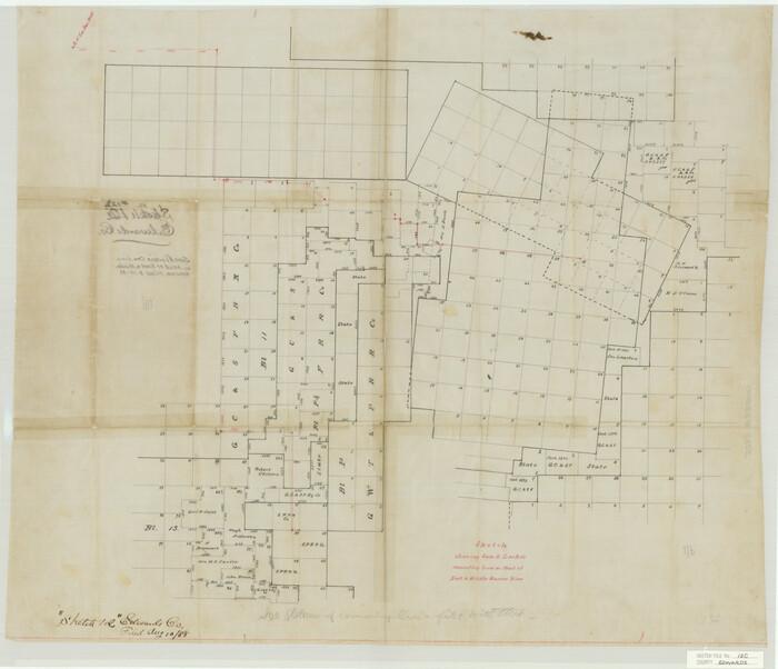
Edwards County Sketch File 12c

Edwards County Sketch File 14 1/2
1887
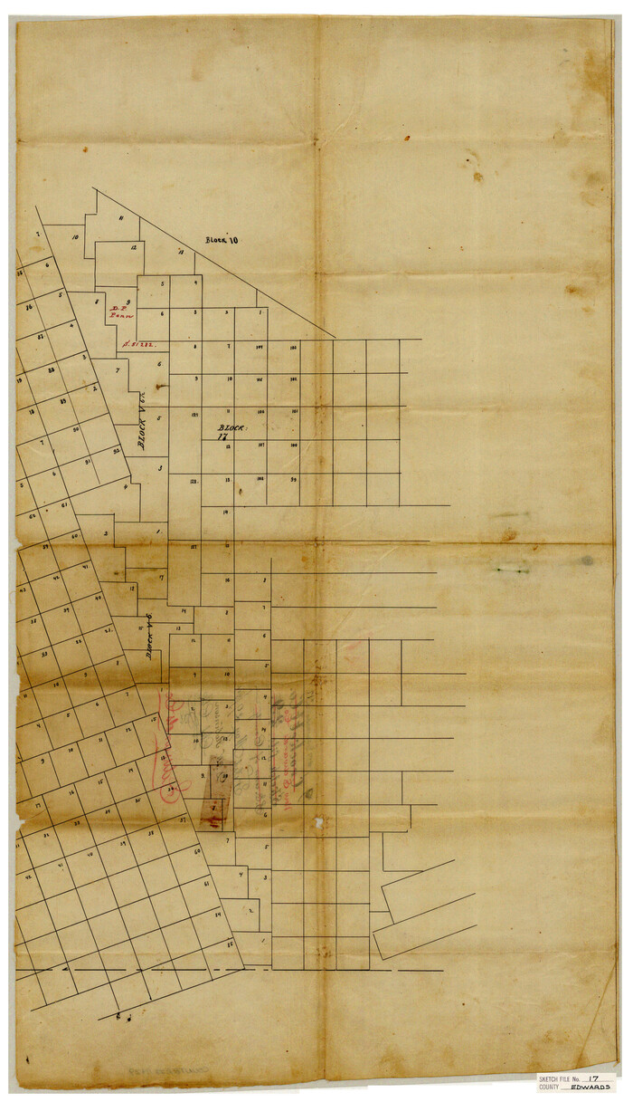
Edwards County Sketch File 17
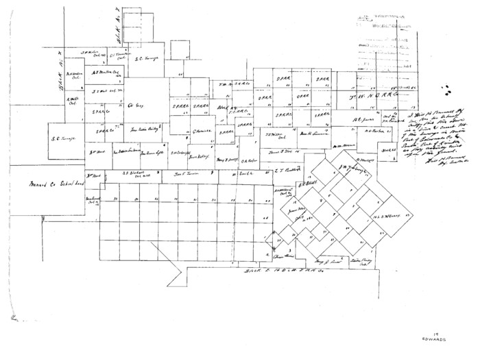
Edwards County Sketch File 19
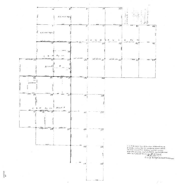
Edwards County Sketch File 28

Edwards County Sketch File 29

Edwards County Sketch File 34

Edwards County Sketch File 35a
1928

Edwards County Sketch File 36

Edwards County Sketch File 40
1940

Edwards County Sketch File 41
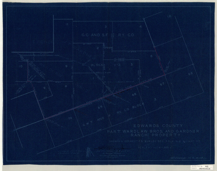
Edwards County Sketch File 42
1947
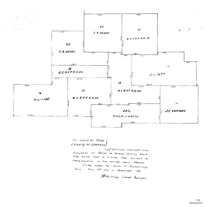
Edwards County Sketch File 43
1947
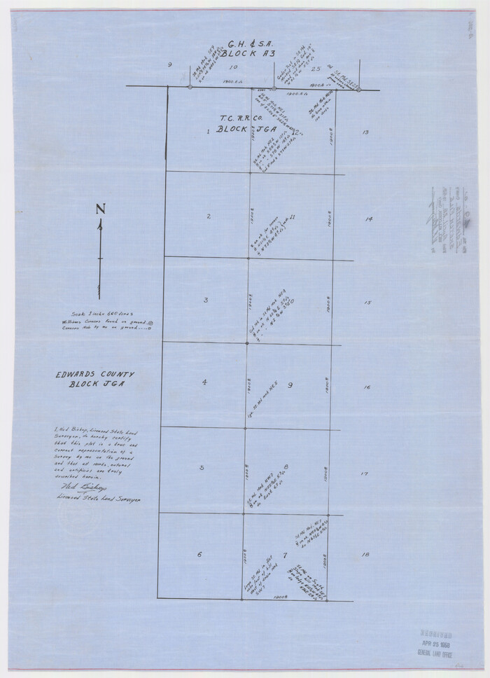
Edwards County Sketch File 49
1958
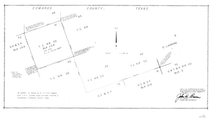
Edwards County Sketch File 52
1972
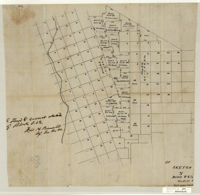
Edwards County Sketch File 54
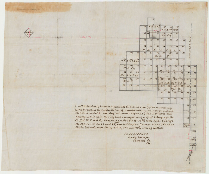
Edwards County Sketch File A
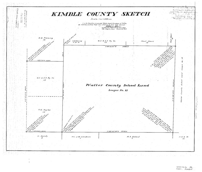
Kimble County Sketch File 32
1957

Val Verde County Sketch File AA3
1924

Val Verde County Sketch File 42
1939

Val Verde County Rolled Sketch 36
-
Size
49.6 x 43.7 inches
-
Map/Doc
10072

Val Verde County Rolled Sketch 63
1956
-
Size
37.5 x 41.8 inches
-
Map/Doc
10082
-
Creation Date
1956

Val Verde County Sketch File A3
1917
-
Size
25.6 x 42.3 inches
-
Map/Doc
10418
-
Creation Date
1917

Edwards County Sketch File 9
-
Size
16.9 x 37.8 inches
-
Map/Doc
10443

Edwards County Sketch File A13
1901
-
Size
22.8 x 46.6 inches
-
Map/Doc
10444
-
Creation Date
1901

Kinney County Sketch File 12
1885
-
Size
20.7 x 38.6 inches
-
Map/Doc
10618
-
Creation Date
1885

Edwards County Sketch File 8
-
Size
36.7 x 18.5 inches
-
Map/Doc
11420

Edwards County Sketch File 10
-
Size
26.3 x 19.0 inches
-
Map/Doc
11421

Edwards County Sketch File 10b
1903
-
Size
17.0 x 18.9 inches
-
Map/Doc
11423
-
Creation Date
1903

Edwards County Sketch File 12c
-
Size
23.0 x 26.8 inches
-
Map/Doc
11425

Edwards County Sketch File 14 1/2
1887
-
Size
18.3 x 15.3 inches
-
Map/Doc
11426
-
Creation Date
1887

Edwards County Sketch File 17
-
Size
31.8 x 18.3 inches
-
Map/Doc
11429

Edwards County Sketch File 19
-
Size
17.1 x 23.7 inches
-
Map/Doc
11430

Edwards County Sketch File 28
-
Size
27.3 x 25.6 inches
-
Map/Doc
11431

Edwards County Sketch File 29
-
Size
19.4 x 15.9 inches
-
Map/Doc
11432

Edwards County Sketch File 34
-
Size
16.8 x 19.0 inches
-
Map/Doc
11434

Edwards County Sketch File 35a
1928
-
Size
33.0 x 23.5 inches
-
Map/Doc
11435
-
Creation Date
1928

Edwards County Sketch File 36
-
Size
18.3 x 18.7 inches
-
Map/Doc
11436

Edwards County Sketch File 40
1940
-
Size
20.4 x 14.3 inches
-
Map/Doc
11438
-
Creation Date
1940

Edwards County Sketch File 41
-
Size
33.7 x 22.7 inches
-
Map/Doc
11439

Edwards County Sketch File 42
1947
-
Size
17.9 x 22.7 inches
-
Map/Doc
11440
-
Creation Date
1947

Edwards County Sketch File 43
1947
-
Size
17.4 x 18.2 inches
-
Map/Doc
11441
-
Creation Date
1947

Edwards County Sketch File 49
1958
-
Size
25.6 x 27.9 inches
-
Map/Doc
11444
-
Creation Date
1958

Edwards County Sketch File 52
1972
-
Size
19.9 x 35.1 inches
-
Map/Doc
11446
-
Creation Date
1972

Edwards County Sketch File 54
-
Size
17.9 x 18.4 inches
-
Map/Doc
11447

Edwards County Sketch File A
-
Size
25.3 x 35.5 inches
-
Map/Doc
11448

Kimble County Sketch File 32
1957
-
Size
18.4 x 21.6 inches
-
Map/Doc
11930
-
Creation Date
1957

Val Verde County Sketch File AA3
1924
-
Size
19.5 x 20.6 inches
-
Map/Doc
12540
-
Creation Date
1924

Val Verde County Sketch File 42
1939
-
Size
19.4 x 20.3 inches
-
Map/Doc
12584
-
Creation Date
1939
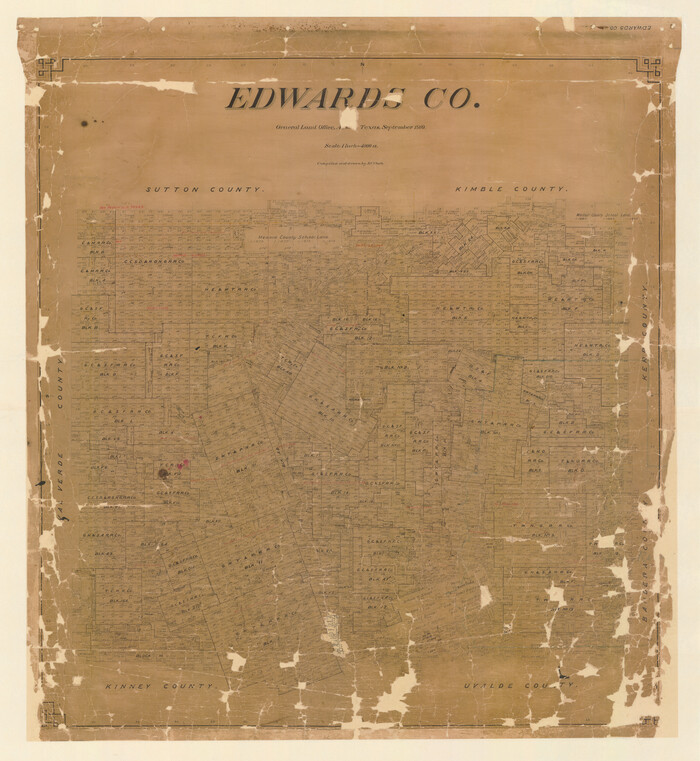
Edwards Co.
1910
-
Size
38.8 x 35.7 inches
-
Map/Doc
16825
-
Creation Date
1910