
Edwards County Rolled Sketch 37
2018

Edwards County Working Sketch 140
2014

Kimble County Working Sketch 97
2012

Val Verde County Rolled Sketch 85
2009

Val Verde County Sketch File 57
2009

Kinney County Working Sketch 59
1999
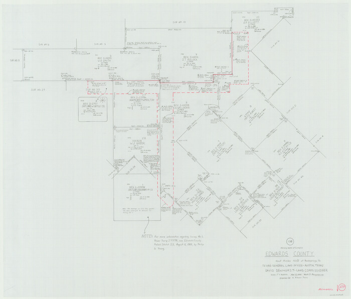
Edwards County Working Sketch 138
1999
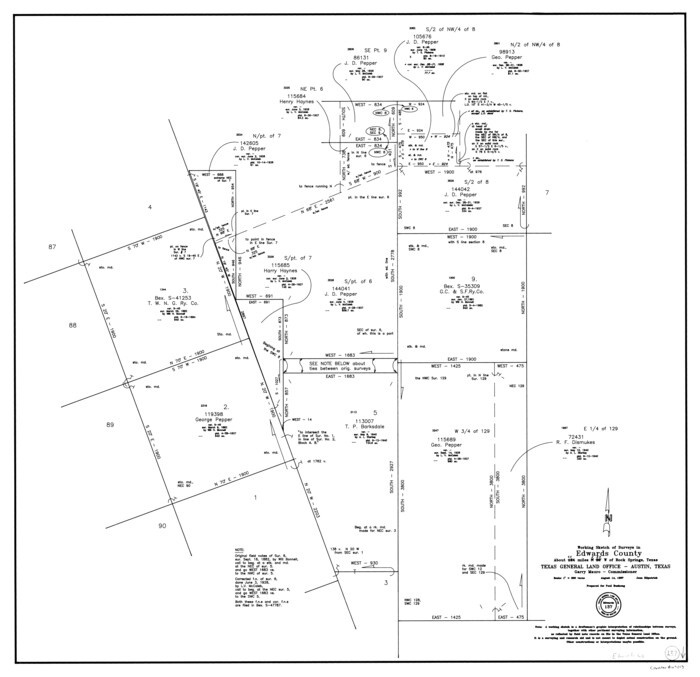
Edwards County Working Sketch 137
1997
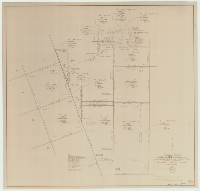
Edwards County Working Sketch 137, revised
1997

Edwards County Working Sketch 136
1997

Edwards County Rolled Sketch 34
1994

Val Verde County Working Sketch 109
1988

Edwards County Rolled Sketch 32
1986
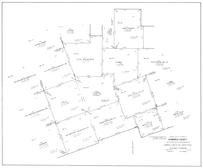
Edwards County Working Sketch 135
1986

Edwards County Working Sketch 134
1986
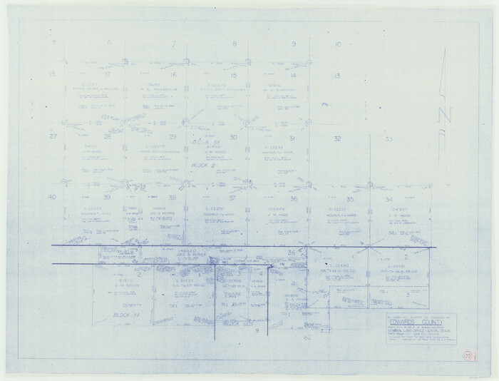
Edwards County Working Sketch 133
1985
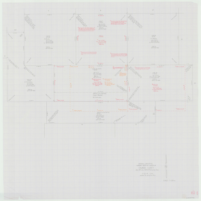
Edwards County Working Sketch 132
1985
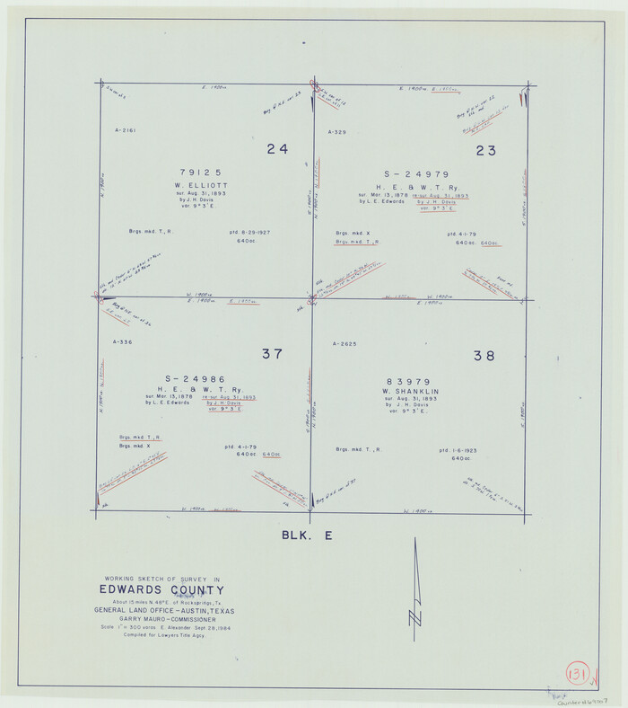
Edwards County Working Sketch 131
1984

Edwards County Rolled Sketch 31
1982
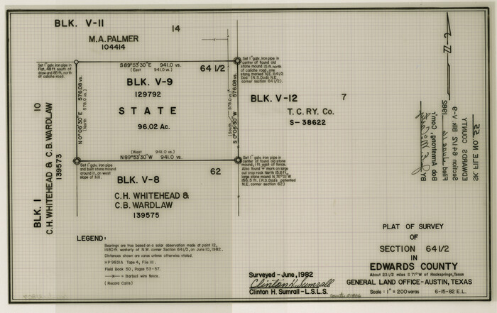
Edwards County Sketch File 55
1982

Edwards County Working Sketch 130
1982
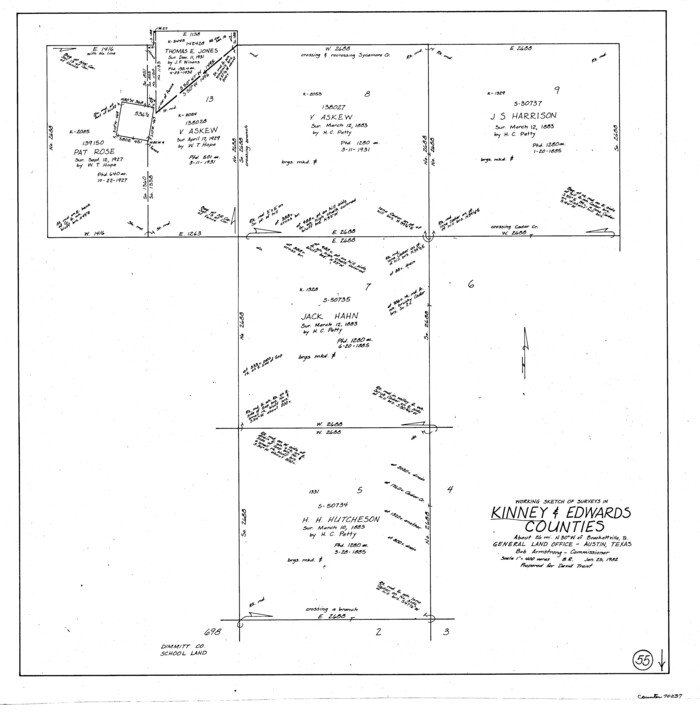
Kinney County Working Sketch 55
1982

Edwards County Working Sketch 129
1981

Edwards County Working Sketch 128
1981
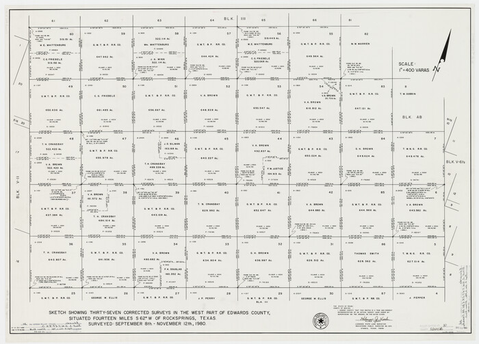
Edwards County Rolled Sketch 30
1980
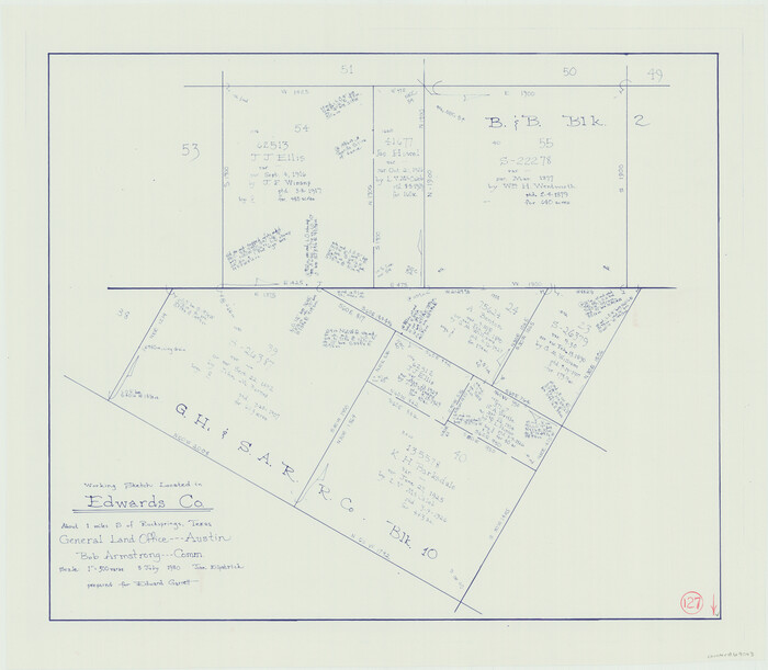
Edwards County Working Sketch 127
1980
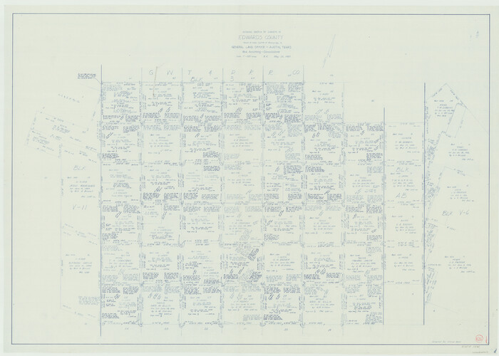
Edwards County Working Sketch 126
1980

Edwards County Working Sketch 125
1977
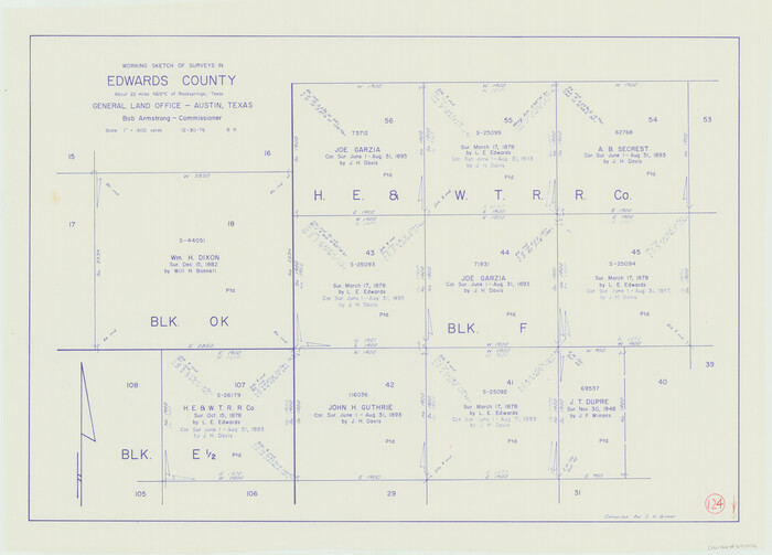
Edwards County Working Sketch 124
1976
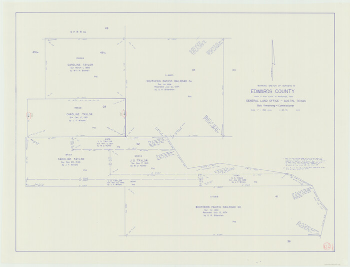
Edwards County Working Sketch 122
1976

Edwards County Rolled Sketch 37
2018
-
Size
23.3 x 30.2 inches
-
Map/Doc
94459
-
Creation Date
2018

Edwards County Working Sketch 140
2014
-
Size
36.1 x 41.1 inches
-
Map/Doc
93665
-
Creation Date
2014

Kimble County Working Sketch 97
2012
-
Size
42.8 x 36.6 inches
-
Map/Doc
93388
-
Creation Date
2012

Val Verde County Rolled Sketch 85
2009
-
Size
25.4 x 38.0 inches
-
Map/Doc
89234
-
Creation Date
2009

Val Verde County Sketch File 57
2009
-
Size
11.0 x 8.5 inches
-
Map/Doc
89235
-
Creation Date
2009

Kinney County Working Sketch 59
1999
-
Size
19.9 x 24.8 inches
-
Map/Doc
70241
-
Creation Date
1999

Edwards County Working Sketch 138
1999
-
Size
30.5 x 35.7 inches
-
Map/Doc
69015
-
Creation Date
1999

Edwards County Working Sketch 137
1997
-
Size
33.2 x 34.3 inches
-
Map/Doc
69013
-
Creation Date
1997

Edwards County Working Sketch 137, revised
1997
-
Size
33.6 x 35.1 inches
-
Map/Doc
69014
-
Creation Date
1997

Edwards County Working Sketch 136
1997
-
Size
18.4 x 25.4 inches
-
Map/Doc
69012
-
Creation Date
1997

Edwards County Rolled Sketch 34
1994
-
Size
18.0 x 33.5 inches
-
Map/Doc
5816
-
Creation Date
1994

Val Verde County Working Sketch 109
1988
-
Size
41.4 x 31.2 inches
-
Map/Doc
72244
-
Creation Date
1988

Edwards County Rolled Sketch 32
1986
-
Size
36.7 x 24.3 inches
-
Map/Doc
8850
-
Creation Date
1986

Edwards County Working Sketch 135
1986
-
Size
31.8 x 38.4 inches
-
Map/Doc
69011
-
Creation Date
1986

Edwards County Working Sketch 134
1986
-
Size
29.4 x 54.2 inches
-
Map/Doc
69010
-
Creation Date
1986

Edwards County Working Sketch 133
1985
-
Size
29.7 x 38.9 inches
-
Map/Doc
69009
-
Creation Date
1985

Edwards County Working Sketch 132
1985
-
Size
37.1 x 37.1 inches
-
Map/Doc
69008
-
Creation Date
1985

Edwards County Working Sketch 131
1984
-
Size
21.0 x 18.6 inches
-
Map/Doc
69007
-
Creation Date
1984

Edwards County Rolled Sketch 31
1982
-
Size
30.5 x 39.4 inches
-
Map/Doc
8849
-
Creation Date
1982

Edwards County Sketch File 55
1982
-
Size
9.1 x 14.5 inches
-
Map/Doc
21806
-
Creation Date
1982

Edwards County Working Sketch 130
1982
-
Size
29.3 x 26.8 inches
-
Map/Doc
69006
-
Creation Date
1982

Kinney County Working Sketch 55
1982
-
Size
25.1 x 24.7 inches
-
Map/Doc
70237
-
Creation Date
1982

Edwards County Working Sketch 129
1981
-
Size
33.6 x 41.3 inches
-
Map/Doc
69005
-
Creation Date
1981

Edwards County Working Sketch 128
1981
-
Size
26.5 x 32.4 inches
-
Map/Doc
69004
-
Creation Date
1981

Edwards County Rolled Sketch 30
1980
-
Size
31.6 x 44.0 inches
-
Map/Doc
8848
-
Creation Date
1980

Edwards County Working Sketch 127
1980
-
Size
21.0 x 24.1 inches
-
Map/Doc
69003
-
Creation Date
1980

Edwards County Working Sketch 126
1980
-
Size
33.5 x 47.0 inches
-
Map/Doc
69002
-
Creation Date
1980

Edwards County Working Sketch 125
1977
-
Size
22.3 x 23.5 inches
-
Map/Doc
69001
-
Creation Date
1977

Edwards County Working Sketch 124
1976
-
Size
20.0 x 27.8 inches
-
Map/Doc
69000
-
Creation Date
1976

Edwards County Working Sketch 122
1976
-
Size
25.8 x 33.9 inches
-
Map/Doc
68998
-
Creation Date
1976