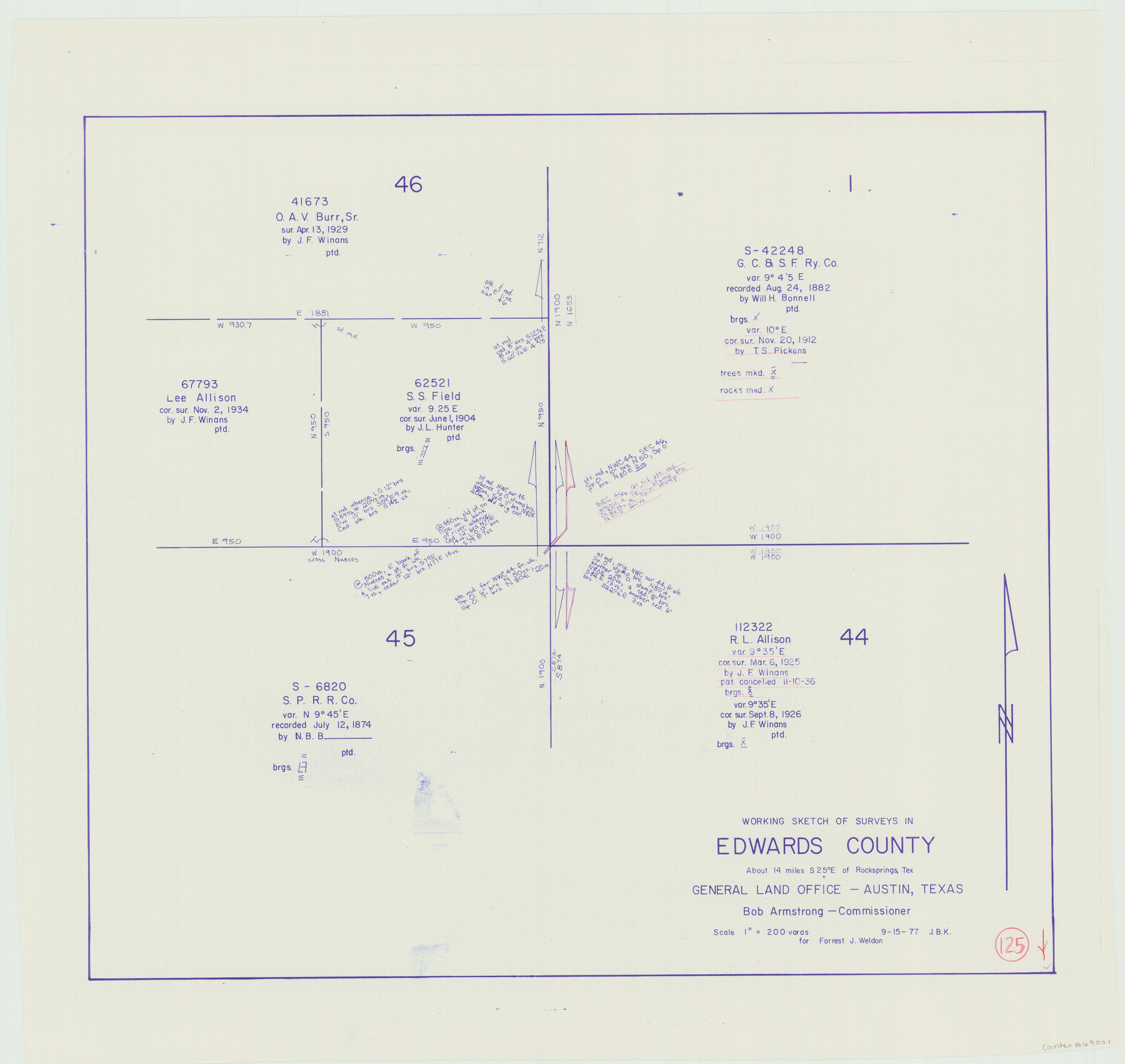
Edwards County Working Sketch 125
-
Map/Doc
69001
-
Collection
General Map Collection
-
Object Dates
9/15/1977 (Creation Date)
-
People and Organizations
Joan Kilpatrick (Draftsman)
-
Counties
Edwards
-
Subjects
Surveying Working Sketch
-
Height x Width
22.3 x 23.5 inches
56.6 x 59.7 cm
-
Scale
1" = 200 varas
Part of: General Map Collection
Flight Mission No. DQN-3K, Frame 51, Calhoun County

Print $20.00
- Digital $50.00
Flight Mission No. DQN-3K, Frame 51, Calhoun County
1953
Size 18.5 x 22.2 inches
Map/Doc 84352
Mills County Rolled Sketch 2

Print $20.00
- Digital $50.00
Mills County Rolled Sketch 2
1974
Size 24.1 x 22.8 inches
Map/Doc 6780
Cherokee County Working Sketch 21

Print $40.00
- Digital $50.00
Cherokee County Working Sketch 21
1969
Size 37.6 x 57.0 inches
Map/Doc 67976
Dickens County Rolled Sketch N

Print $20.00
- Digital $50.00
Dickens County Rolled Sketch N
1909
Size 21.2 x 30.6 inches
Map/Doc 5714
Starr County Sketch File 42

Print $20.00
- Digital $50.00
Starr County Sketch File 42
1941
Size 19.0 x 21.6 inches
Map/Doc 12341
State of Texas

Print $40.00
- Digital $50.00
State of Texas
1985
Size 50.0 x 53.6 inches
Map/Doc 2486
Brewster County Working Sketch 106

Print $20.00
- Digital $50.00
Brewster County Working Sketch 106
1980
Size 43.3 x 31.8 inches
Map/Doc 67706
Colorado County Rolled Sketch 7

Print $20.00
- Digital $50.00
Colorado County Rolled Sketch 7
1997
Size 26.2 x 19.1 inches
Map/Doc 5534
Hardeman County Sketch File 16

Print $20.00
- Digital $50.00
Hardeman County Sketch File 16
Size 21.9 x 26.8 inches
Map/Doc 11628
Texas Gulf Coast, from the Sabine River to the Rio Grande as Subdivided for Mineral Development; Jefferson, Chambers and Galveston Counties

Print $20.00
- Digital $50.00
Texas Gulf Coast, from the Sabine River to the Rio Grande as Subdivided for Mineral Development; Jefferson, Chambers and Galveston Counties
1976
Size 29.0 x 42.5 inches
Map/Doc 1937
Calhoun County Working Sketch 2b

Print $20.00
- Digital $50.00
Calhoun County Working Sketch 2b
1913
Size 17.3 x 15.8 inches
Map/Doc 67818
Map of Coleman County

Print $20.00
- Digital $50.00
Map of Coleman County
1895
Size 26.1 x 18.9 inches
Map/Doc 3415
You may also like
Milam County Boundary File 5

Print $18.00
- Digital $50.00
Milam County Boundary File 5
Size 8.9 x 9.7 inches
Map/Doc 57223
[Townships 1 through 5 North, Blocks 34, 35, and 36]
![92587, [Townships 1 through 5 North, Blocks 34, 35, and 36], Twichell Survey Records](https://historictexasmaps.com/wmedia_w700/maps/92587-1.tif.jpg)
Print $20.00
- Digital $50.00
[Townships 1 through 5 North, Blocks 34, 35, and 36]
Size 41.7 x 21.4 inches
Map/Doc 92587
Childress County Rolled Sketch 1

Print $20.00
- Digital $50.00
Childress County Rolled Sketch 1
Size 31.2 x 26.5 inches
Map/Doc 5437
Edwards County Working Sketch 35

Print $20.00
- Digital $50.00
Edwards County Working Sketch 35
1948
Size 20.9 x 31.1 inches
Map/Doc 68911
Galveston County NRC Article 33.136 Location Key Sheet

Print $20.00
- Digital $50.00
Galveston County NRC Article 33.136 Location Key Sheet
1995
Size 27.0 x 22.0 inches
Map/Doc 83001
Flight Mission No. CGI-1N, Frame 174, Cameron County

Print $20.00
- Digital $50.00
Flight Mission No. CGI-1N, Frame 174, Cameron County
1955
Size 18.5 x 22.1 inches
Map/Doc 84509
Flight Mission No. DAH-10M, Frame 41, Orange County

Print $20.00
- Digital $50.00
Flight Mission No. DAH-10M, Frame 41, Orange County
1953
Size 18.7 x 22.5 inches
Map/Doc 86876
[A. Dubois Survey and vicinity]
![91524, [A. Dubois Survey and vicinity], Twichell Survey Records](https://historictexasmaps.com/wmedia_w700/maps/91524-1.tif.jpg)
Print $3.00
- Digital $50.00
[A. Dubois Survey and vicinity]
Size 11.4 x 14.6 inches
Map/Doc 91524
Menard County Boundary File 9

Print $4.00
- Digital $50.00
Menard County Boundary File 9
Size 9.9 x 8.1 inches
Map/Doc 57094
Young County Working Sketch 4

Print $20.00
- Digital $50.00
Young County Working Sketch 4
1919
Size 14.8 x 13.4 inches
Map/Doc 62027
Smith County Sketch File 8

Print $4.00
- Digital $50.00
Smith County Sketch File 8
1848
Size 12.8 x 8.1 inches
Map/Doc 36761
