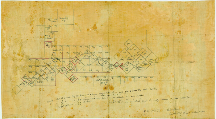
[Sketch in Edwards & Sutton Counties, Texas]
Print $20.00
- Digital $50.00
[Sketch in Edwards & Sutton Counties, Texas]
Size: 16.7 x 30.2 inches
4371
[Northwest 1/4 of County]
Print $20.00
- Digital $50.00
[Northwest 1/4 of County]
Size: 19.1 x 23.3 inches
90824
[C. C. S. D. & R. G. N. G Ry. Co. Block in NW of County]
Print $20.00
- Digital $50.00
[C. C. S. D. & R. G. N. G Ry. Co. Block in NW of County]
Size: 17.3 x 22.0 inches
90821
West Part of Edwards County

Print $40.00
- Digital $50.00
West Part of Edwards County
1975
Size: 58.7 x 38.5 inches
73139
West Part of Edwards County

Print $20.00
- Digital $50.00
West Part of Edwards County
1975
Size: 35.5 x 23.2 inches
77271
West Part of Edwards County

Print $40.00
- Digital $50.00
West Part of Edwards County
1975
Size: 59.9 x 39.7 inches
95489
Water-Shed of the Colorado River

Print $40.00
- Digital $50.00
Water-Shed of the Colorado River
1925
Size: 37.1 x 79.8 inches
65261
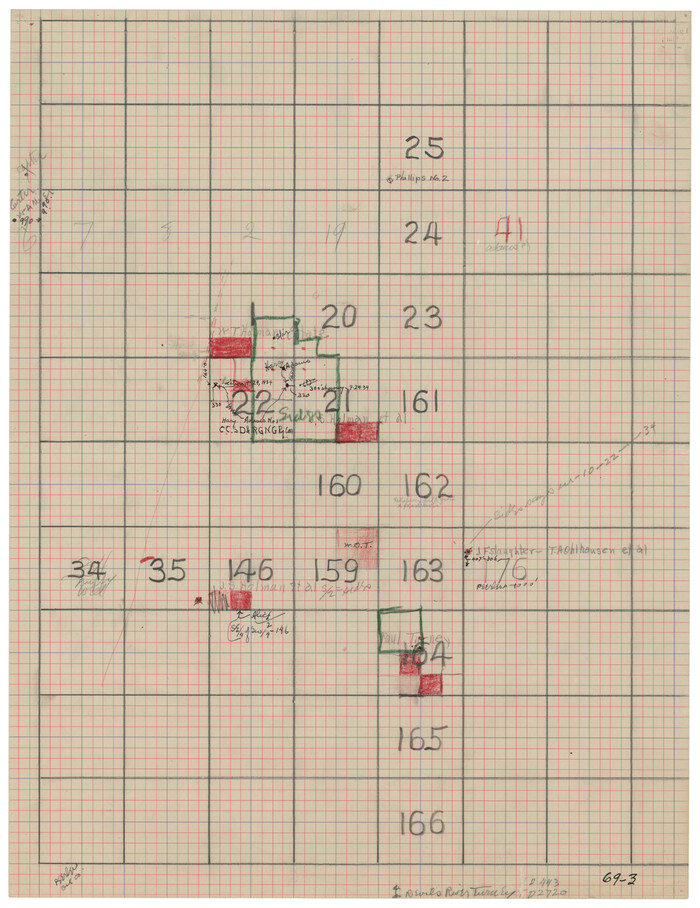
Val Verde County Working Sketch 9

Print $20.00
- Digital $50.00
Val Verde County Working Sketch 9
1917
Size: 19.4 x 30.9 inches
72144
Val Verde County Working Sketch 8

Print $20.00
- Digital $50.00
Val Verde County Working Sketch 8
1917
Size: 31.4 x 32.0 inches
72143
Val Verde County Working Sketch 109

Print $20.00
- Digital $50.00
Val Verde County Working Sketch 109
1988
Size: 41.4 x 31.2 inches
72244
Val Verde County Sketch File Z20

Print $20.00
- Digital $50.00
Val Verde County Sketch File Z20
1913
Size: 11.5 x 9.0 inches
39153
Val Verde County Sketch File N

Print $14.00
- Digital $50.00
Val Verde County Sketch File N
1920
Size: 10.9 x 8.8 inches
39284
Val Verde County Sketch File M

Print $18.00
- Digital $50.00
Val Verde County Sketch File M
1920
Size: 14.5 x 9.1 inches
39275
Val Verde County Sketch File L

Print $26.00
- Digital $50.00
Val Verde County Sketch File L
1919
Size: 12.4 x 9.1 inches
39262
Val Verde County Sketch File AA3

Print $20.00
- Digital $50.00
Val Verde County Sketch File AA3
1924
Size: 19.5 x 20.6 inches
12540
Val Verde County Sketch File A3

Print $20.00
- Digital $50.00
Val Verde County Sketch File A3
1917
Size: 25.6 x 42.3 inches
10418
Val Verde County Sketch File 57

Print $28.00
- Digital $50.00
Val Verde County Sketch File 57
2009
Size: 11.0 x 8.5 inches
89235
Val Verde County Sketch File 44A

Print $10.00
- Digital $50.00
Val Verde County Sketch File 44A
1940
Size: 14.5 x 8.8 inches
39311
Val Verde County Sketch File 44

Print $22.00
- Digital $50.00
Val Verde County Sketch File 44
1940
Size: 9.0 x 14.2 inches
39309
Val Verde County Sketch File 42

Print $20.00
- Digital $50.00
Val Verde County Sketch File 42
1939
Size: 19.4 x 20.3 inches
12584
Val Verde County Sketch File 18

Print $8.00
- Digital $50.00
Val Verde County Sketch File 18
1883
Size: 13.1 x 8.4 inches
39225
Val Verde County Rolled Sketch 85

Print $20.00
- Digital $50.00
Val Verde County Rolled Sketch 85
2009
Size: 25.4 x 38.0 inches
89234
Val Verde County Rolled Sketch 63

Print $20.00
- Digital $50.00
Val Verde County Rolled Sketch 63
1956
Size: 37.5 x 41.8 inches
10082
Val Verde County Rolled Sketch 43

Print $20.00
- Digital $50.00
Val Verde County Rolled Sketch 43
1920
Size: 20.4 x 22.6 inches
8117
Val Verde County Rolled Sketch 42

Print $20.00
- Digital $50.00
Val Verde County Rolled Sketch 42
1919
Size: 17.3 x 21.9 inches
8116
Val Verde County Rolled Sketch 36

Print $40.00
- Digital $50.00
Val Verde County Rolled Sketch 36
Size: 49.6 x 43.7 inches
10072
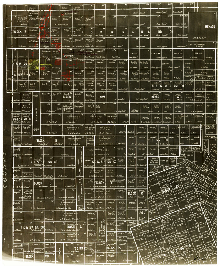
Uvalde County Working Sketch 20

Print $20.00
- Digital $50.00
Uvalde County Working Sketch 20
1950
Size: 41.5 x 32.4 inches
72090
[Sketch in Edwards & Sutton Counties, Texas]
Print $20.00
- Digital $50.00
[Sketch in Edwards & Sutton Counties, Texas]
-
Size
16.7 x 30.2 inches
-
Map/Doc
4371
[Northwest 1/4 of County]
Print $20.00
- Digital $50.00
[Northwest 1/4 of County]
-
Size
19.1 x 23.3 inches
-
Map/Doc
90824
[Edwards County]
![4939, [Edwards County], General Map Collection](https://historictexasmaps.com/wmedia_w700/maps/4939-1.tif.jpg)
Print $40.00
- Digital $50.00
[Edwards County]
1900
-
Size
48.6 x 32.4 inches
-
Map/Doc
4939
-
Creation Date
1900
[Edwards County]
![4940, [Edwards County], General Map Collection](https://historictexasmaps.com/wmedia_w700/maps/4940-1.tif.jpg)
Print $40.00
- Digital $50.00
[Edwards County]
1900
-
Size
48.7 x 32.7 inches
-
Map/Doc
4940
-
Creation Date
1900
[Edwards Co.]
![66811, [Edwards Co.], General Map Collection](https://historictexasmaps.com/wmedia_w700/maps/66811.tif.jpg)
Print $20.00
- Digital $50.00
[Edwards Co.]
1910
-
Size
38.8 x 36.2 inches
-
Map/Doc
66811
-
Creation Date
1910
[C. C. S. D. & R. G. N. G Ry. Co. Block in NW of County]
Print $20.00
- Digital $50.00
[C. C. S. D. & R. G. N. G Ry. Co. Block in NW of County]
-
Size
17.3 x 22.0 inches
-
Map/Doc
90821
West Part of Edwards County
Print $40.00
- Digital $50.00
West Part of Edwards County
1975
-
Size
58.7 x 38.5 inches
-
Map/Doc
73139
-
Creation Date
1975
West Part of Edwards County
Print $20.00
- Digital $50.00
West Part of Edwards County
1975
-
Size
35.5 x 23.2 inches
-
Map/Doc
77271
-
Creation Date
1975
West Part of Edwards County
Print $40.00
- Digital $50.00
West Part of Edwards County
1975
-
Size
59.9 x 39.7 inches
-
Map/Doc
95489
-
Creation Date
1975
Water-Shed of the Colorado River
Print $40.00
- Digital $50.00
Water-Shed of the Colorado River
1925
-
Size
37.1 x 79.8 inches
-
Map/Doc
65261
-
Creation Date
1925
Val Verde County Working Sketch 9
Print $20.00
- Digital $50.00
Val Verde County Working Sketch 9
1917
-
Size
19.4 x 30.9 inches
-
Map/Doc
72144
-
Creation Date
1917
Val Verde County Working Sketch 8
Print $20.00
- Digital $50.00
Val Verde County Working Sketch 8
1917
-
Size
31.4 x 32.0 inches
-
Map/Doc
72143
-
Creation Date
1917
Val Verde County Working Sketch 109
Print $20.00
- Digital $50.00
Val Verde County Working Sketch 109
1988
-
Size
41.4 x 31.2 inches
-
Map/Doc
72244
-
Creation Date
1988
Val Verde County Sketch File Z20
Print $20.00
- Digital $50.00
Val Verde County Sketch File Z20
1913
-
Size
11.5 x 9.0 inches
-
Map/Doc
39153
-
Creation Date
1913
Val Verde County Sketch File N
Print $14.00
- Digital $50.00
Val Verde County Sketch File N
1920
-
Size
10.9 x 8.8 inches
-
Map/Doc
39284
-
Creation Date
1920
Val Verde County Sketch File M
Print $18.00
- Digital $50.00
Val Verde County Sketch File M
1920
-
Size
14.5 x 9.1 inches
-
Map/Doc
39275
-
Creation Date
1920
Val Verde County Sketch File L
Print $26.00
- Digital $50.00
Val Verde County Sketch File L
1919
-
Size
12.4 x 9.1 inches
-
Map/Doc
39262
-
Creation Date
1919
Val Verde County Sketch File AA3
Print $20.00
- Digital $50.00
Val Verde County Sketch File AA3
1924
-
Size
19.5 x 20.6 inches
-
Map/Doc
12540
-
Creation Date
1924
Val Verde County Sketch File A3
Print $20.00
- Digital $50.00
Val Verde County Sketch File A3
1917
-
Size
25.6 x 42.3 inches
-
Map/Doc
10418
-
Creation Date
1917
Val Verde County Sketch File 57
Print $28.00
- Digital $50.00
Val Verde County Sketch File 57
2009
-
Size
11.0 x 8.5 inches
-
Map/Doc
89235
-
Creation Date
2009
Val Verde County Sketch File 44A
Print $10.00
- Digital $50.00
Val Verde County Sketch File 44A
1940
-
Size
14.5 x 8.8 inches
-
Map/Doc
39311
-
Creation Date
1940
Val Verde County Sketch File 44
Print $22.00
- Digital $50.00
Val Verde County Sketch File 44
1940
-
Size
9.0 x 14.2 inches
-
Map/Doc
39309
-
Creation Date
1940
Val Verde County Sketch File 42
Print $20.00
- Digital $50.00
Val Verde County Sketch File 42
1939
-
Size
19.4 x 20.3 inches
-
Map/Doc
12584
-
Creation Date
1939
Val Verde County Sketch File 18
Print $8.00
- Digital $50.00
Val Verde County Sketch File 18
1883
-
Size
13.1 x 8.4 inches
-
Map/Doc
39225
-
Creation Date
1883
Val Verde County Rolled Sketch 85
Print $20.00
- Digital $50.00
Val Verde County Rolled Sketch 85
2009
-
Size
25.4 x 38.0 inches
-
Map/Doc
89234
-
Creation Date
2009
Val Verde County Rolled Sketch 63
Print $20.00
- Digital $50.00
Val Verde County Rolled Sketch 63
1956
-
Size
37.5 x 41.8 inches
-
Map/Doc
10082
-
Creation Date
1956
Val Verde County Rolled Sketch 43
Print $20.00
- Digital $50.00
Val Verde County Rolled Sketch 43
1920
-
Size
20.4 x 22.6 inches
-
Map/Doc
8117
-
Creation Date
1920
Val Verde County Rolled Sketch 42
Print $20.00
- Digital $50.00
Val Verde County Rolled Sketch 42
1919
-
Size
17.3 x 21.9 inches
-
Map/Doc
8116
-
Creation Date
1919
Val Verde County Rolled Sketch 36
Print $40.00
- Digital $50.00
Val Verde County Rolled Sketch 36
-
Size
49.6 x 43.7 inches
-
Map/Doc
10072
Uvalde County Working Sketch 20
Print $20.00
- Digital $50.00
Uvalde County Working Sketch 20
1950
-
Size
41.5 x 32.4 inches
-
Map/Doc
72090
-
Creation Date
1950